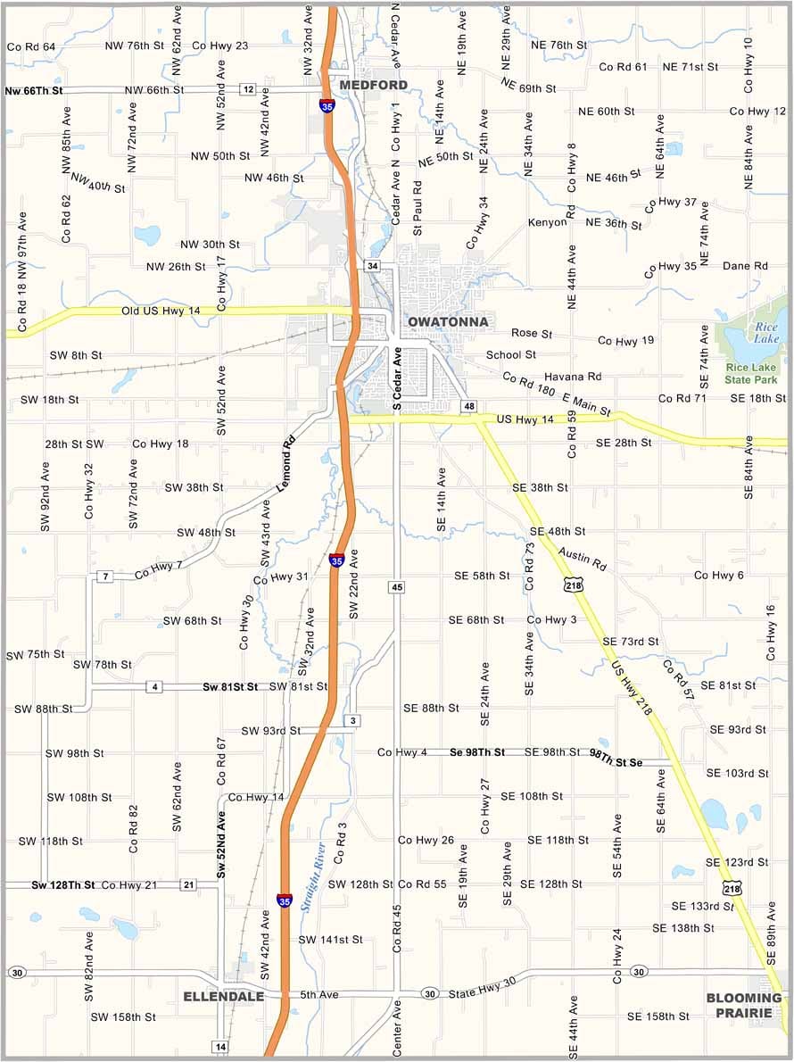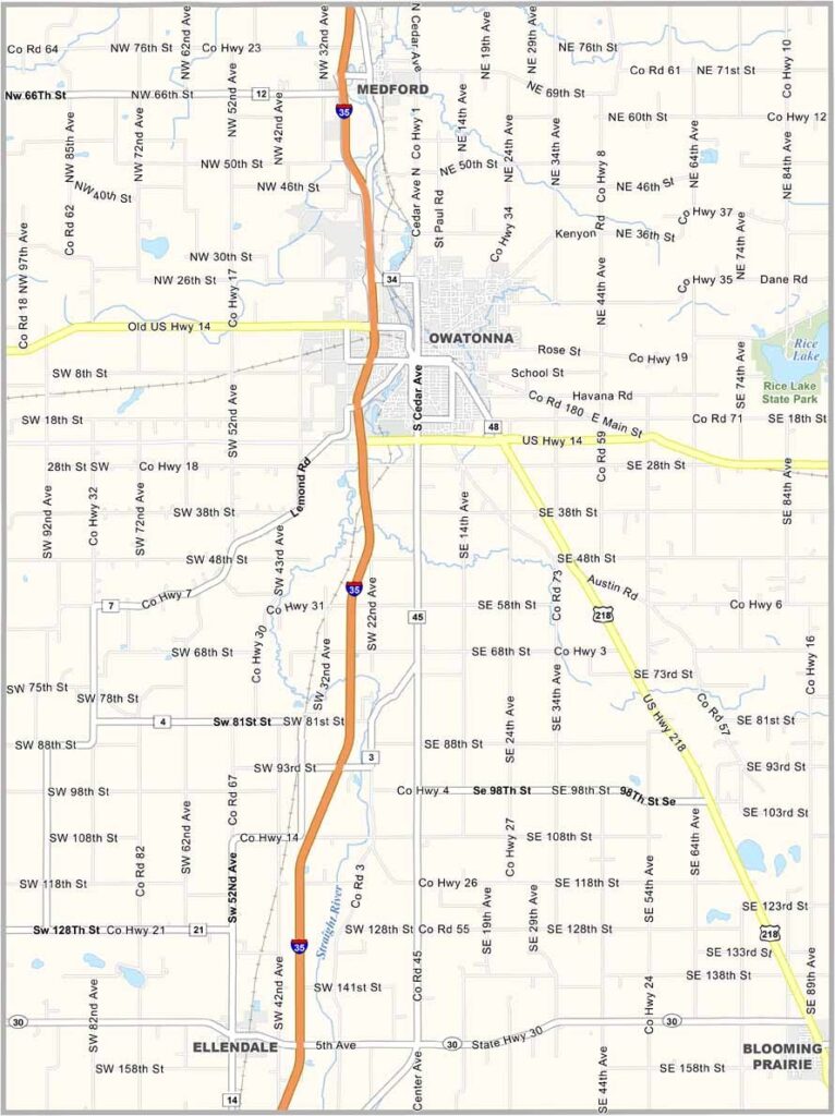
Steele County Map, Minnesota

Steele County, Minnesota

Steele County lies south of the Twin Cities and is pure southern Minnesota, with flat farmland as far as the eye can see. Owatonna, the county seat, is where most of the action happens. The downtown has real character, with an old-school Main Street vibe and the National Farmers' Bank building.

Folks around here take their county fair seriously, and it's one of the biggest in the state. Steele County has a bit of everything, including the quiet charm of small towns like Ellendale and Blooming Prairie.

You've got your pick of fishing spots on Rice Lake or Kozlowski Lake. Winters are cold, no doubt, but come summer, there's no place you'd rather be than cruising down a country road with the windows down, surrounded by a sea of green.
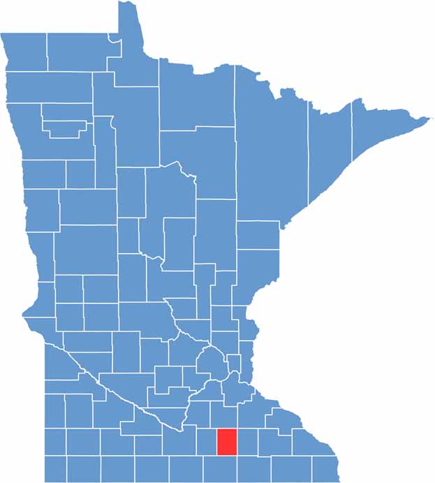

Steele County location map of Minnesota
CategoryDetails
County NameSteele County
County SeatOwatonna
PopulationApproximately 38,000
Cities, Towns, and CommunitiesOwatonna, Medford, Ellendale, Blooming Prairie, Bixby, Hope
Interstates and HighwaysI-35, US 14, US 218, MN 30
FIPS Code27-147
Total Area (Land and Water)432 square miles (Land: 430 sq mi, Water: 2 sq mi)
Adjacent Counties (and Direction)Rice County (North), Dodge County (East), Mower County (Southeast), Freeborn County (South), Waseca County (West)
Time ZoneCentral Time Zone (CT)
StateMinnesota
Coordinates44.0144° N, 93.2209° W
EtymologyNamed after Franklin Steele, a prominent early settler and entrepreneur
Major LandmarksSteele County Free Fair, Reptile & Amphibian Discovery Zoo, Village of Yesteryear
Scroll to Top