
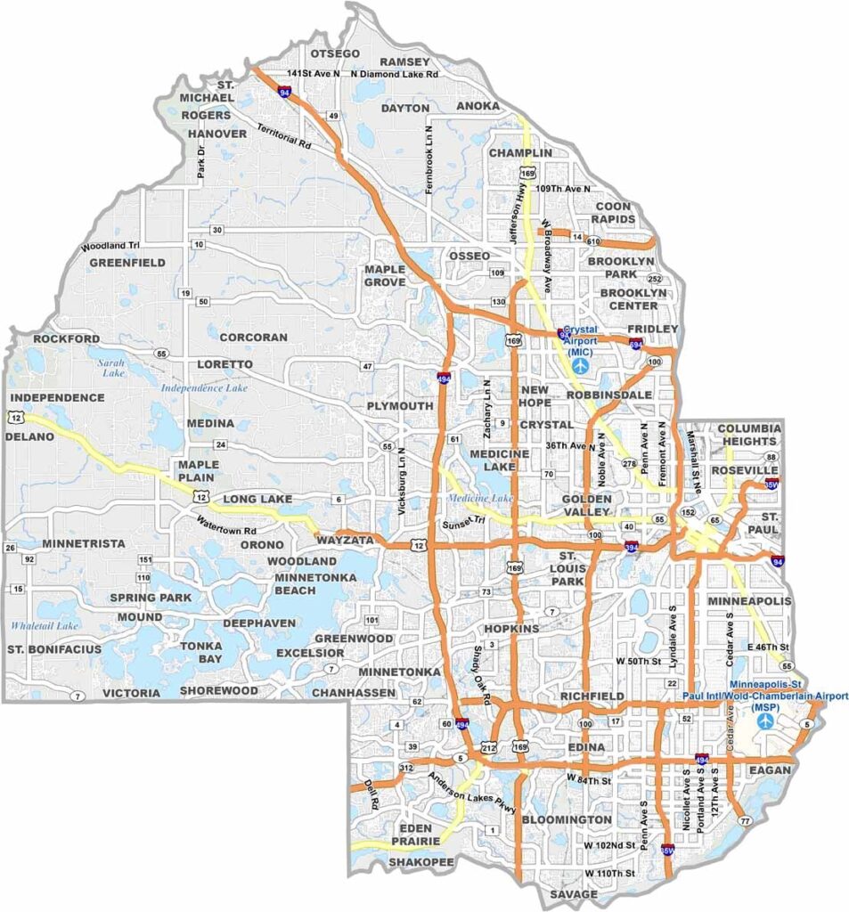
Minneapolis dominates Hennepin County, the most populous county in Minnesota. It's where skyscrapers meet lakes, literally, with 22 of them within city limits. The Chain of Lakes is the local hangout spot, whether you want to go biking, running, or just chill on the beach. Take your pick.
But Hennepin County is more than just Minneapolis. There are first-ring suburbs like Edina and Bloomington, home of the massive Mall of America. Head west and you'll hit Lake Minnetonka, a big playground for the rich and famous.
The county has a killer music scene, and First Avenue is where Prince got his start. Art lovers flock to the Walker Art Center and its funky Sculpture Garden. As for pro sports, take your pick: the Twins, Vikings, and Timberwolves are all here.
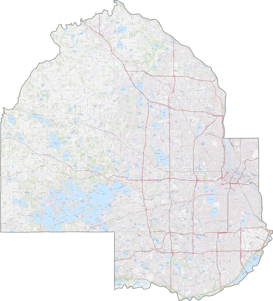
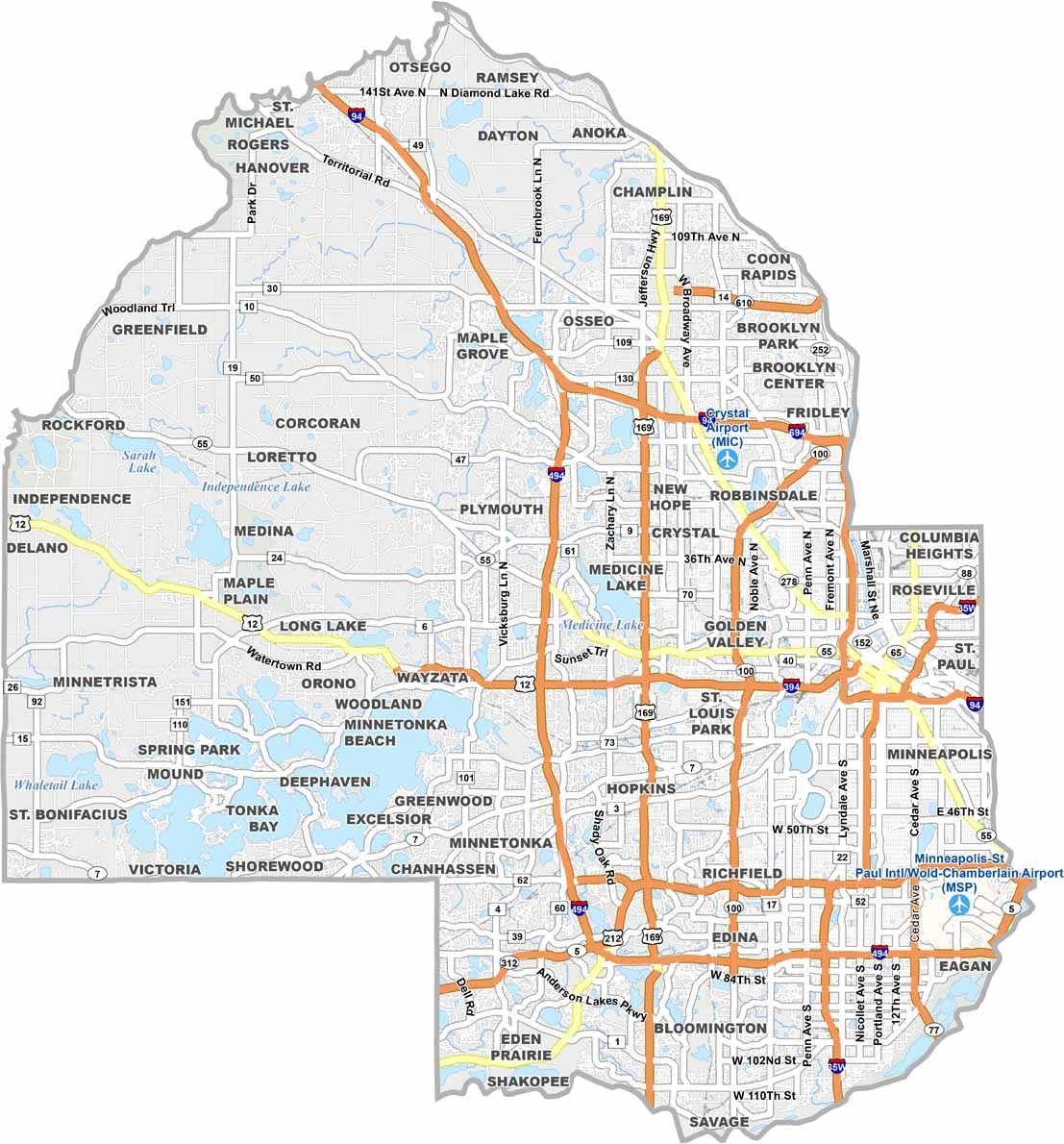
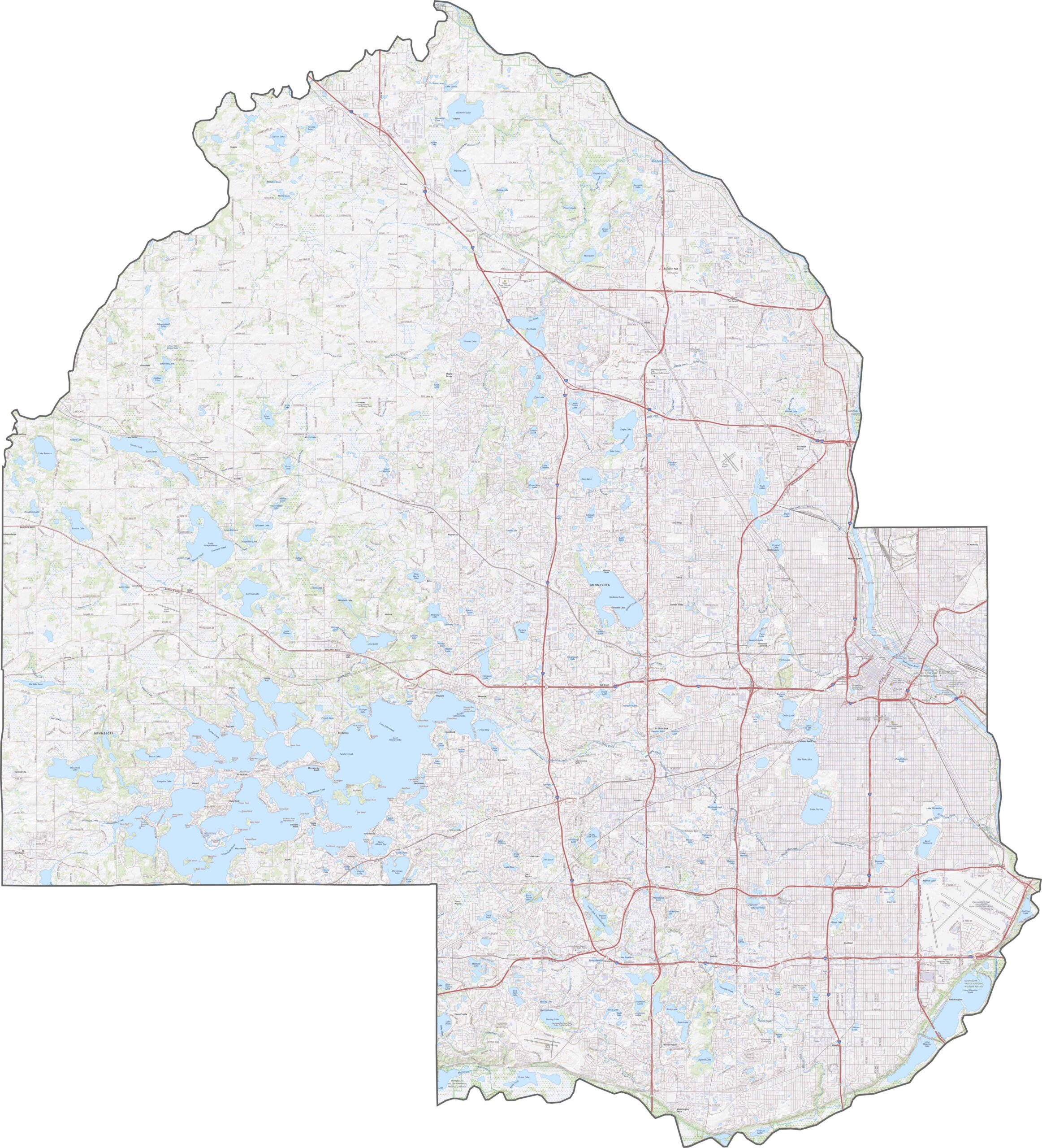
Hennepin County is full of major highways serving Minneapolis. Interstate 94 cuts right through, while Highway 100 loops around parts of the county. Though traffic can get heavy, it's still relatively easy to move around, and you can zoom in on each highway with our road map below.
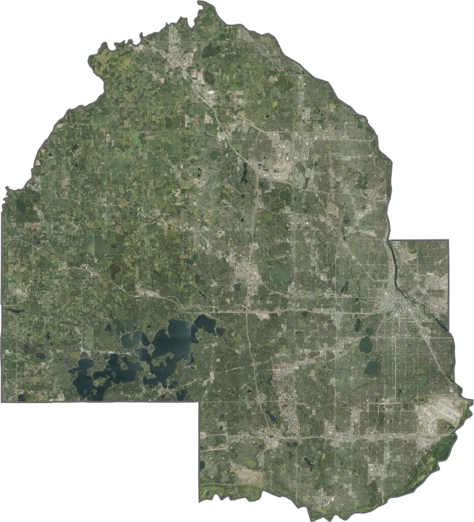
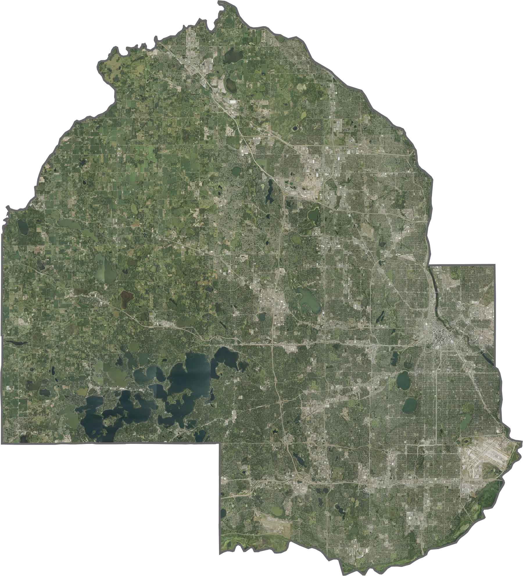
On our satellite map, Hennepin County looks like one big city. Buildings and streets fill the east, especially around Minneapolis, but lakes and parks pop up everywhere thanks to the county's protected green space. You'll also see how the Mississippi River winds across the northern half.
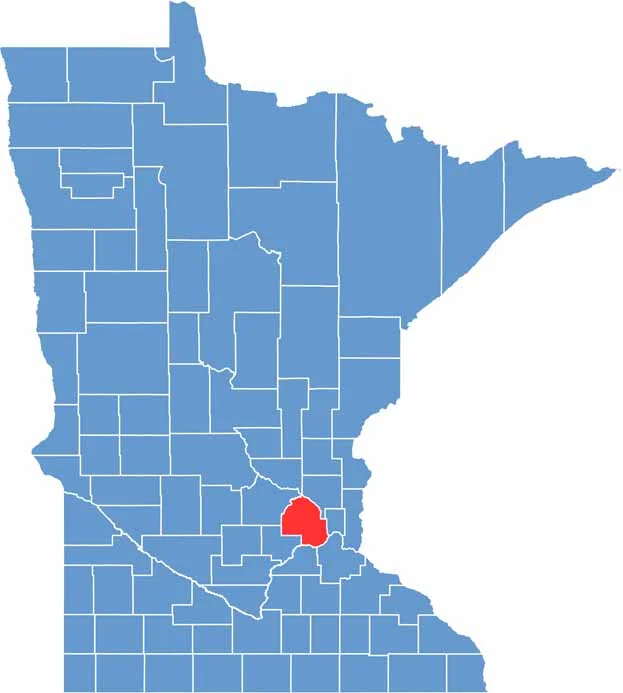
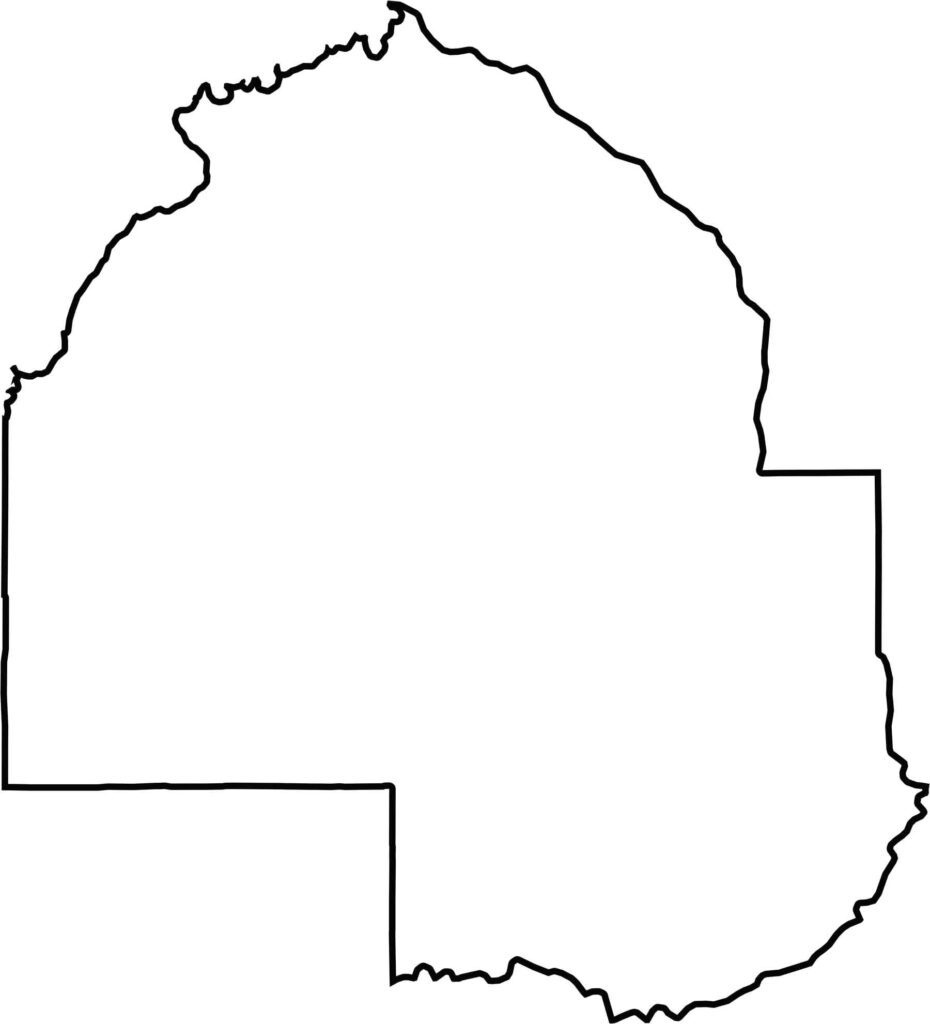
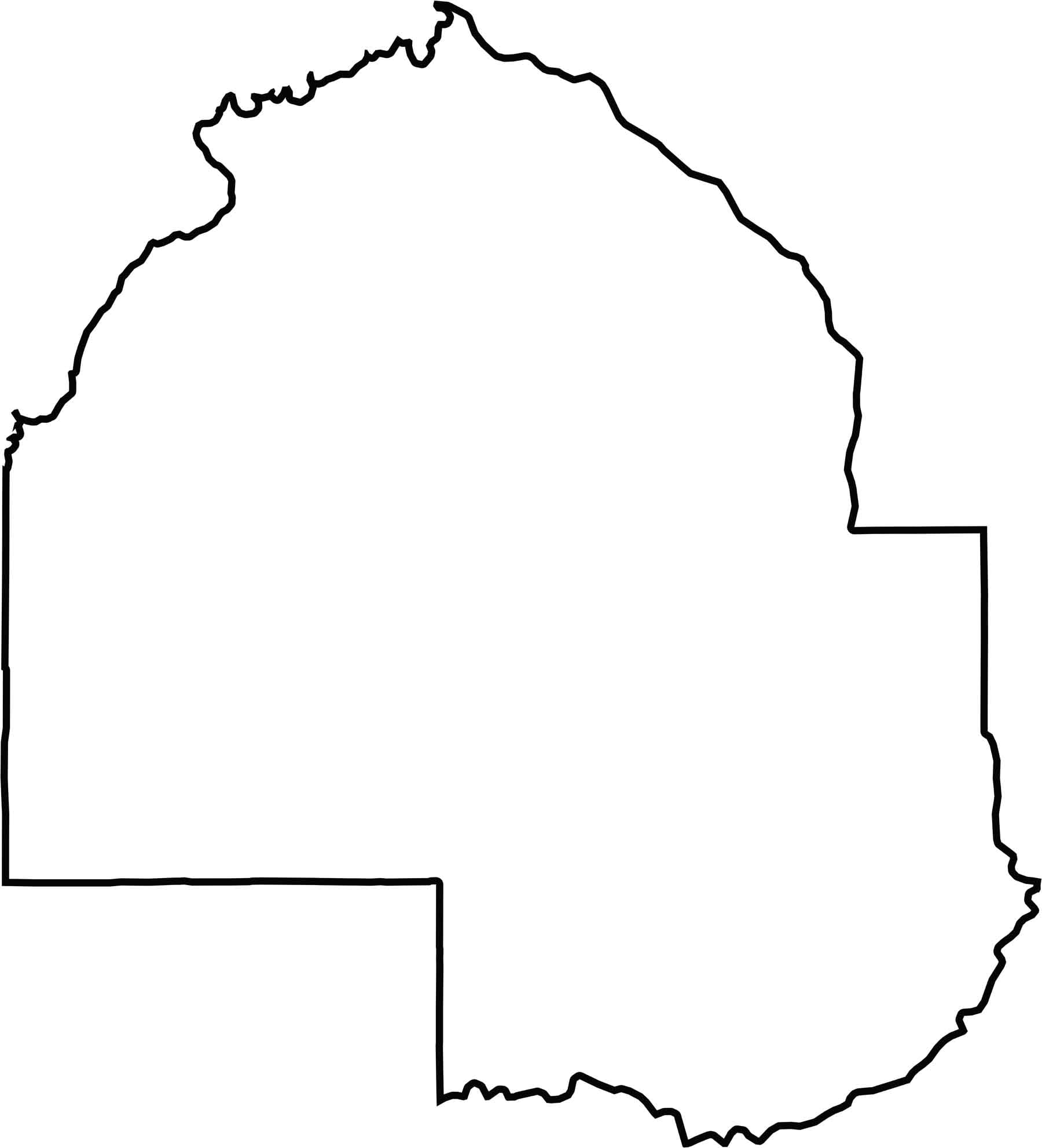
Hennepin County has a roughly rectangular shape with a rounded upper half. Though parts of the border follow the Mississippi River, most lines are straight. It stays fully inside Minnesota without touching another state.






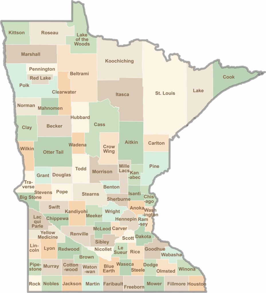
Land of 10,000 Lakes? How about the land of 87 counties to explore? Say hello to Hennepin County (Minneapolis) or the shores of Lake Superior. Get to know all the counties of Minnesota right here.