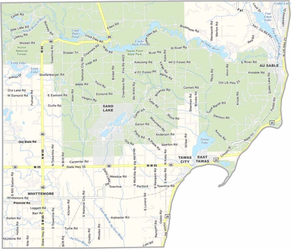
Iosco County Map, Michigan

Iosco County, Michigan

Iosco County sits in the northeast corner of Michigan’s Lower Peninsula. The county’s name comes from a Native American word meaning “water of light,” which feels fitting when you see the sun glinting off the lake.

In the fall, the county bursts with color as the maple trees turn. But no matter the season, fishing, hiking, and boating are big draws here. Yes, even ice fishing is popular!

Winter brings a different kind of magic, with snowmobiling and ice fishing taking center stage. It’s not all wilderness, though. East Tawas and Oscoda are small towns in the county.
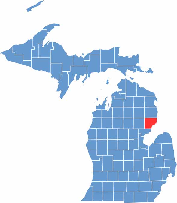

Iosco County location map of Michigan
CategoryDetails
County NameIosco County
County SeatTawas City
Cities, Towns, and CommunitiesEast Tawas, Tawas City, Oscoda, Hale, Whittemore, National City
Interstates and HighwaysUS 23, M-55
FIPS Code26-069
Total Area (Land and Water)1,890 square miles (Land: 549 sq mi, Water: 1,341 sq mi)
Adjacent Counties (and Direction)Alcona County (North), Arenac County (Southwest), Ogemaw County (West), Oscoda County (Northwest)
Time ZoneEastern Time Zone (ET)
StateMichigan
Coordinates44.2790° N, 83.4352° W
EtymologyNamed by Henry Schoolcraft, possibly meaning “water of light”
Major LandmarksTawas Point State Park, Au Sable River, Lumberman’s Monument, Corsair Ski Trails
PopulationApproximately 25,000
Scroll to Top