
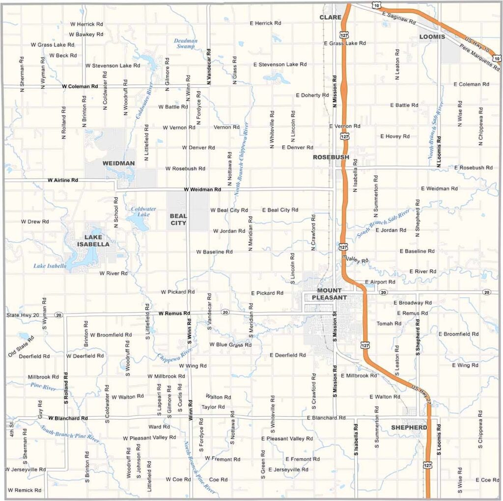
Isabella County Map, Michigan

Isabella County, Michigan

Isabella County sits right in the heart of Michigan’s Lower Peninsula. It’s home to Central Michigan University in Mount Pleasant. The county has a rich Native American history, with the Saginaw Chippewa Indian Tribe calling this area home for generations.

Farms stretch across the landscape, mixed with patches of forest and winding rivers. The Chippewa River is a local favorite for kayaking and fishing.

Winters can be tough, but locals make the most of them with ice fishing and snowmobiling. When summer rolls around, the county comes alive with farmers markets, outdoor concerts, and county fairs.
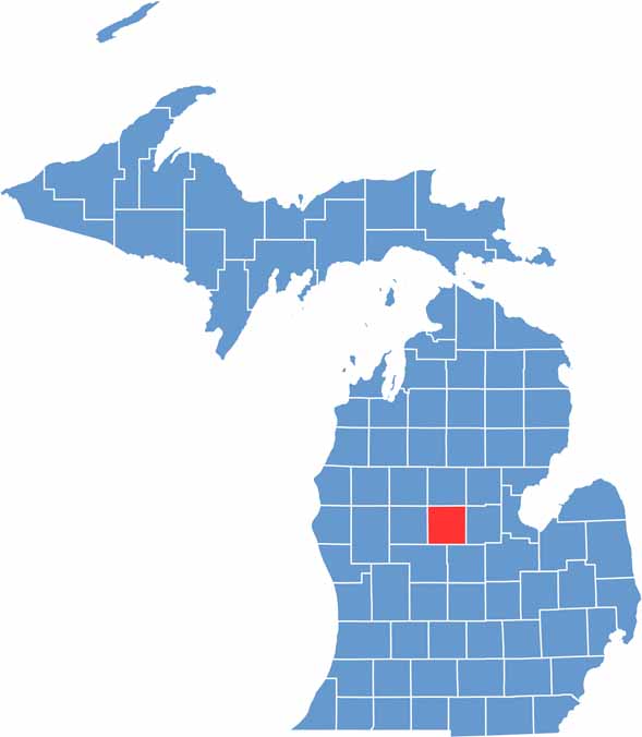

Isabella County location map of Michigan
CategoryDetails
County NameIsabella County
County SeatMount Pleasant
Cities, Towns, and CommunitiesMount Pleasant, Shepherd, Rosebush, Lake Isabella, Beal City, Weidman
Interstates and HighwaysUS 127, M-20
FIPS Code26-073
Total Area (Land and Water)578 square miles (Land: 573 sq mi, Water: 5 sq mi)
Adjacent Counties (and Direction)Clare County (North), Gladwin County (Northeast), Midland County (East), Gratiot County (Southeast), Montcalm County (Southwest), Mecosta County (West), Osceola County (Northwest)
Time ZoneEastern Time Zone (ET)
StateMichigan
Coordinates43.5972° N, 84.7740° W
EtymologyNamed after Queen Isabella I of Castile
Major LandmarksSoaring Eagle Casino & Resort, Central Michigan University, Chippewa River, Deerfield Nature Park
PopulationApproximately 69,000
Scroll to Top




