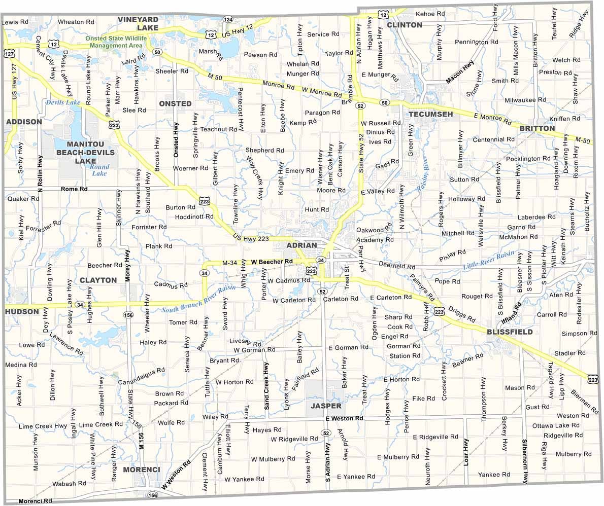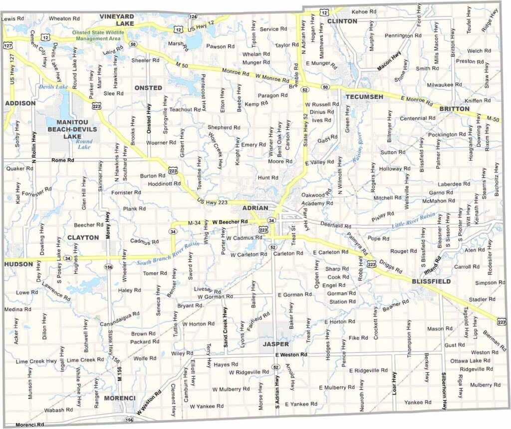
Lenawee County Map, Michigan

Lenawee County, Michigan

Michigan’s southern border is home to Lenawee County. It’s just an hour southwest of Detroit, but feels worlds away from the big city.

Adrian, the county seat, anchors a patchwork of friendly communities and rolling farmland. Locals love the area’s history, and you can’t miss the classic architecture scattered across the landscape.

Festivals and fairs bring folks together year-round, from the Lenawee County Fair to the Fall Foliage Festival. The county is also making waves in sustainable agriculture.
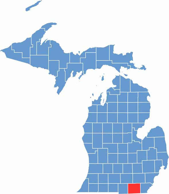

Lenawee County location map of Michigan
CategoryDetails
County NameLenawee County
County SeatAdrian
Cities, Towns, and CommunitiesAdrian, Tecumseh, Hudson, Morenci, Blissfield, Clinton, Deerfield, Addison
Interstates and HighwaysUS 223, M-50, M-52, M-34, M-156
FIPS Code26-091
Total Area (Land and Water)761 square miles (Land: 750 sq mi, Water: 11 sq mi)
Adjacent Counties (and Direction)Jackson County (Northwest), Washtenaw County (Northeast), Monroe County (East), Lucas County, Ohio (Southeast), Fulton County, Ohio (Southwest), Hillsdale County (West)
Time ZoneEastern Time Zone (ET)
StateMichigan
Coordinates41.9009° N, 84.0497° W
EtymologyNamed after a Native American word thought to mean “man” or “male”
Major LandmarksMichigan International Speedway, Hidden Lake Gardens, Lenawee County Fairgrounds, Adrian College
PopulationApproximately 99,000
Scroll to Top