
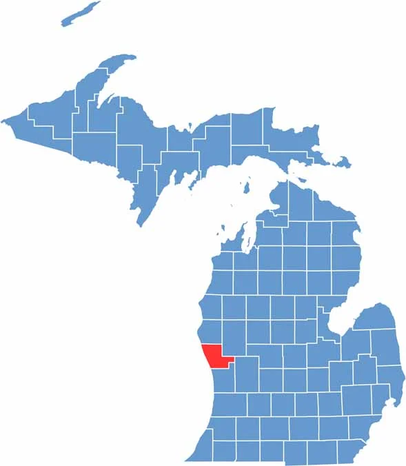
Michigan’s West Coast is home to Muskegon County, perched along the eastern shore of Lake Michigan. The county seat is Muskegon.
This place is a beach lover’s dream, with miles of sandy shoreline and dunes that’ll make your calves burn. Nature lovers flock to Hoffmaster State Park for its pristine beaches and hiking trails.
Muskegon Lake, connected to Lake Michigan by a channel, is a hotspot for fishing and boating. Where else can you go luging in the morning and catch a Lake Michigan sunset in the evening?
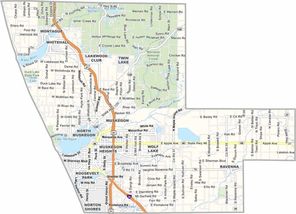
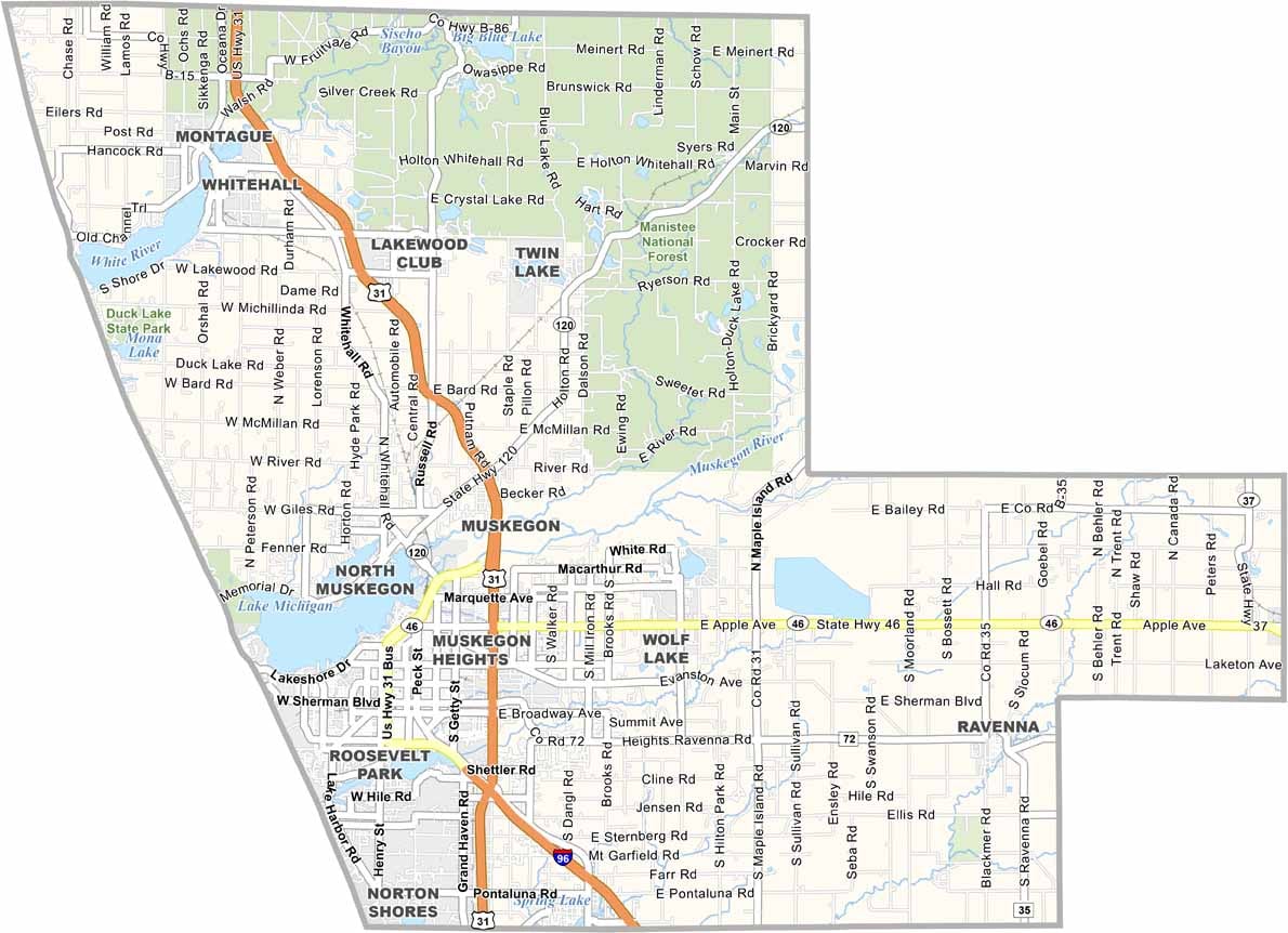
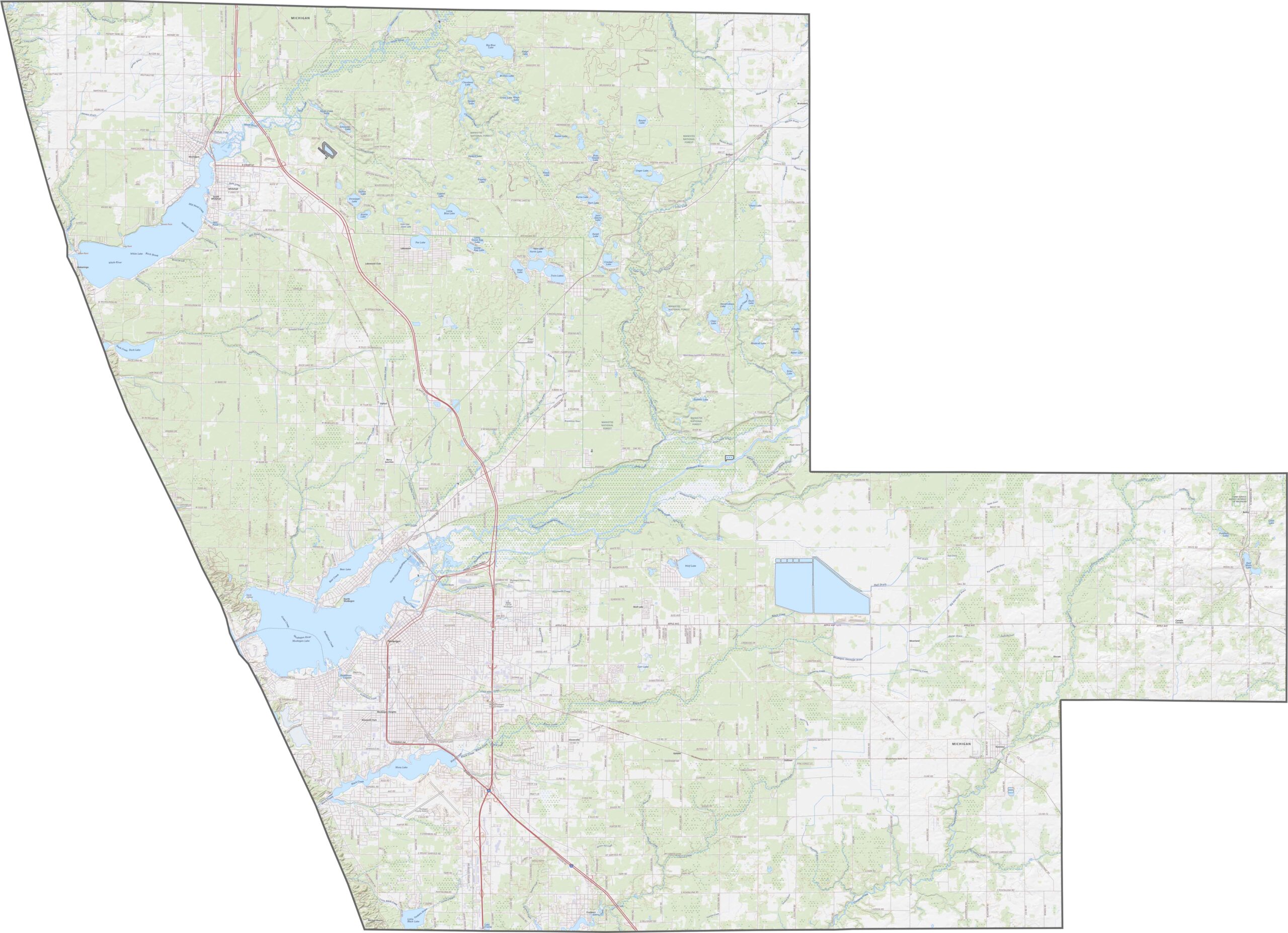
Muskegon County’s highways keep it well connected, with routes like US-31, I-96, and M-46. Smaller routes also fill in the rural gaps nicely. Zoom in on our road map below to explore every twist and turn.
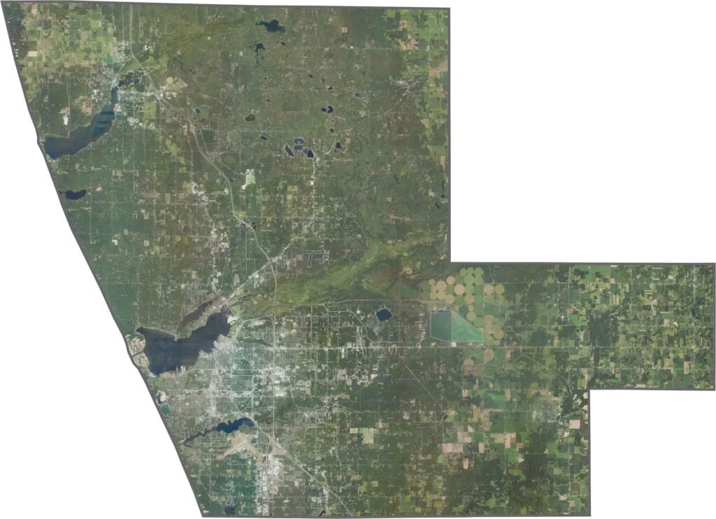
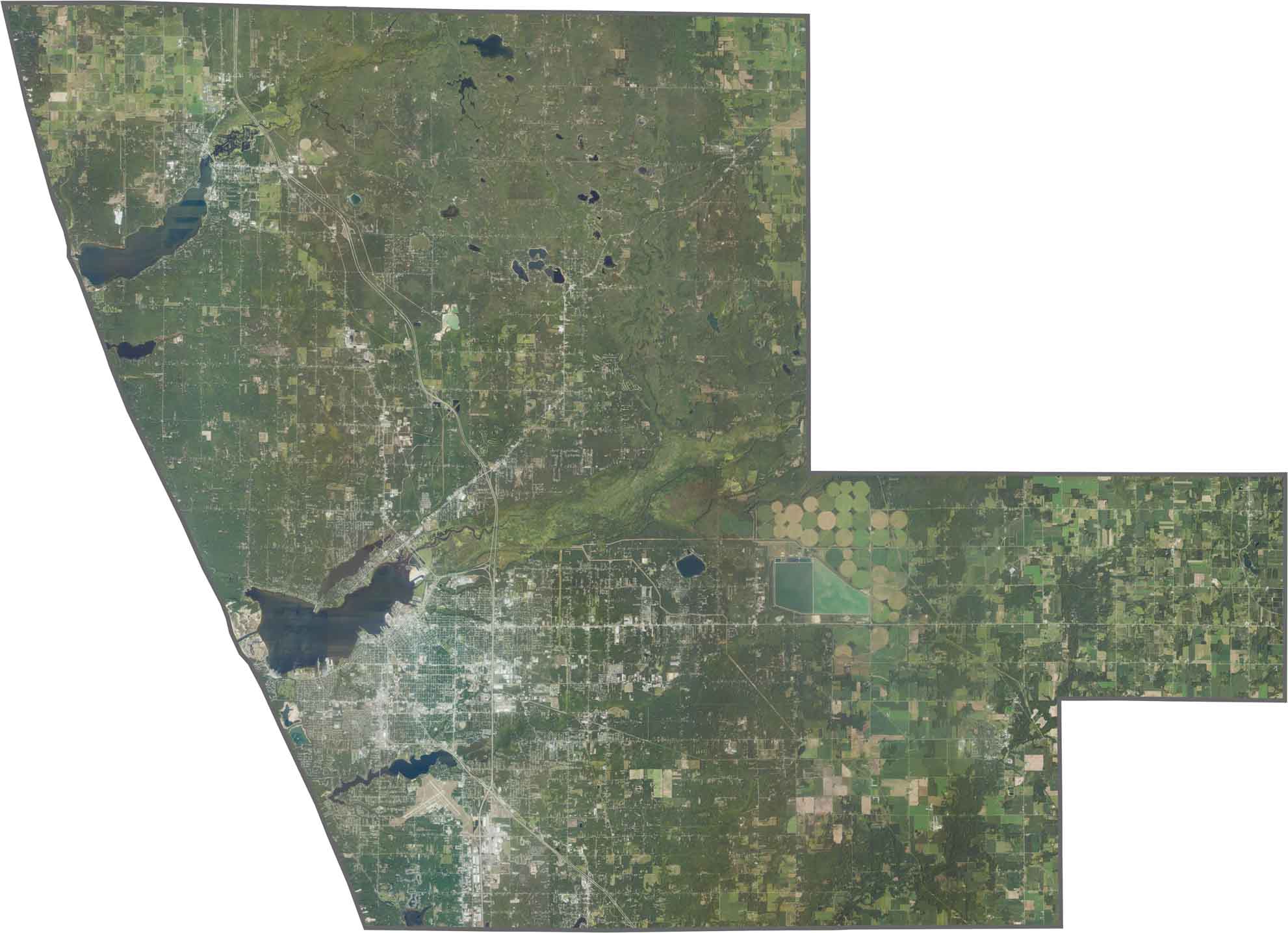
The Muskegon area stands out in the satellite image with its tight urban grid. While forests cover much of the northern half, beaches and dunes shine along Lake Michigan.
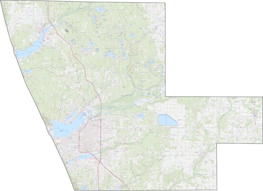
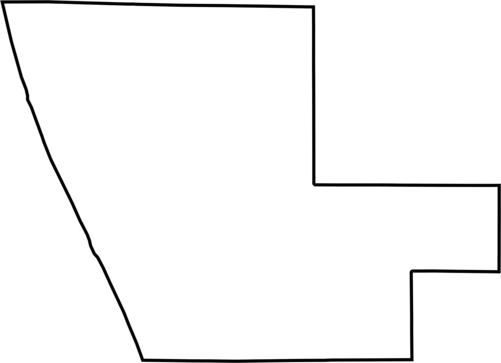
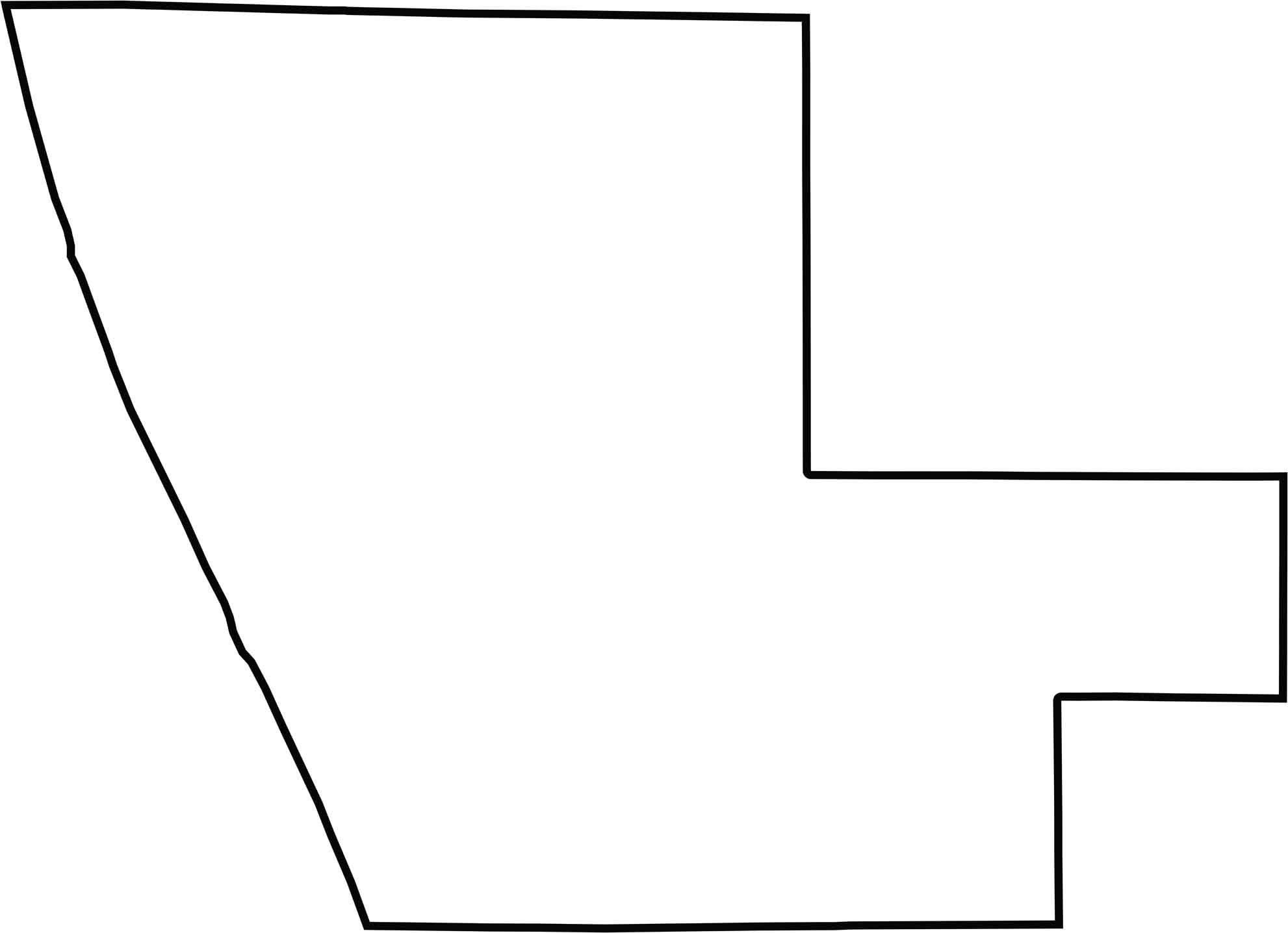
Muskegon County’s western edge follows the Lake Michigan shoreline. The rest of the borders are fairly straight, and the county doesn’t border another state.






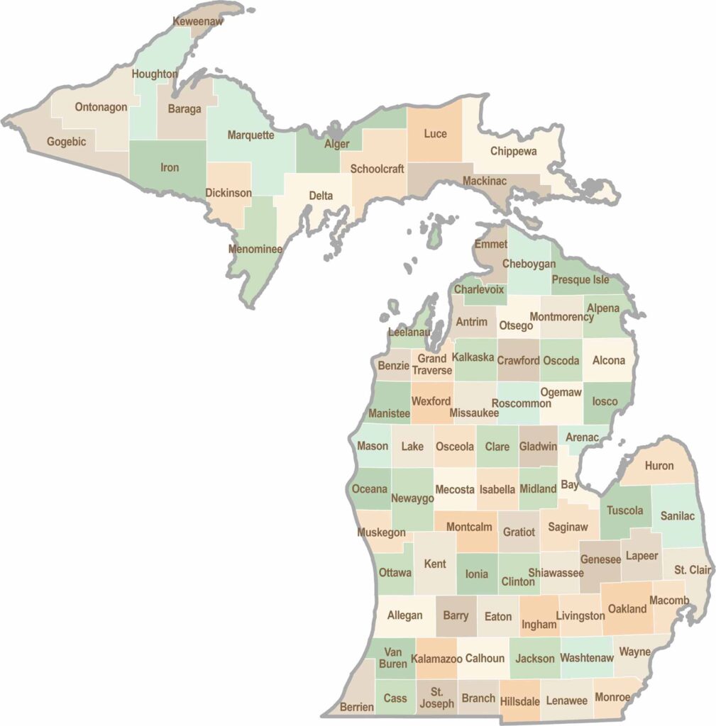
From Motown to moose sightings, Michigan’s 83 counties offer an impressive mix of urban energy, natural beauty, and outdoor adventure. Detroit celebrates its legendary Motown music heritage, while Ann Arbor brings a lively college-town atmosphere shaped by the University of Michigan. From the shores of the Great Lakes to the forests of the Upper Peninsula, the Mitten State delivers a diverse landscape filled with history, culture, and scenic attractions.