
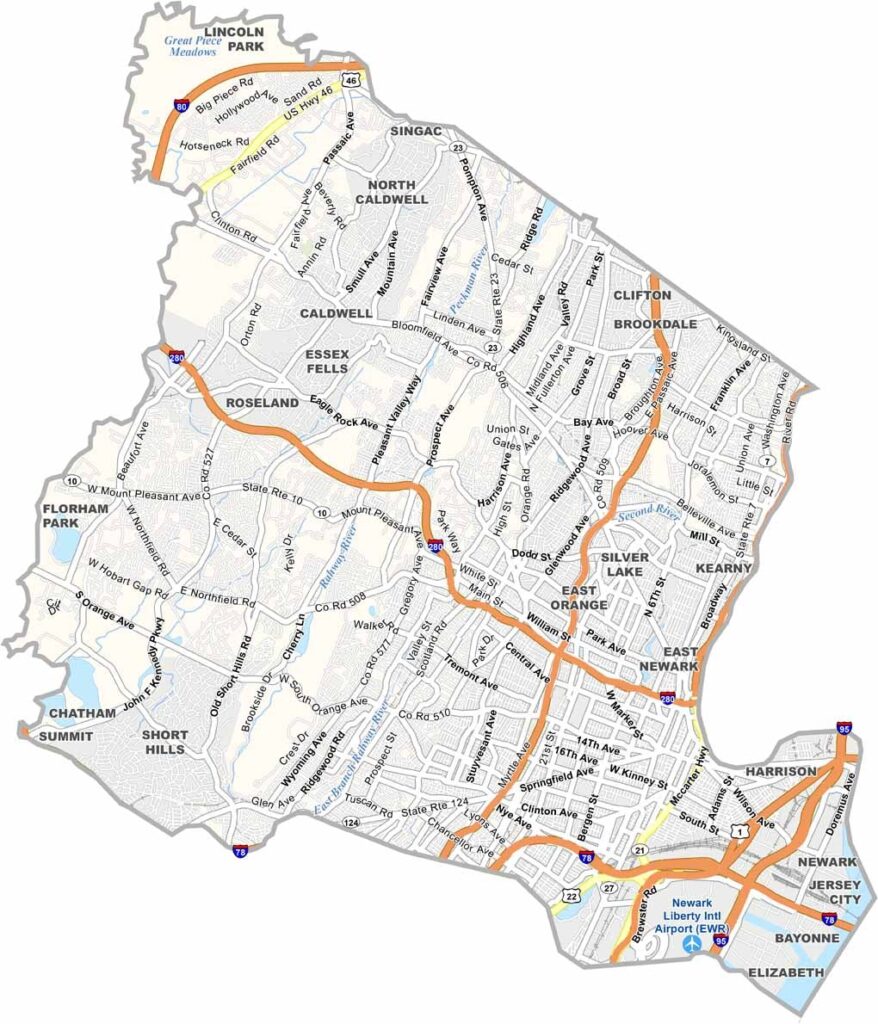
Essex County sits in the northeastern part of New Jersey, just west of New York City, and it's a place of contrasts. Newark, the state's largest city, brings a busy airport and a vibrant arts scene, while the leafy suburbs of Montclair and Millburn offer a quieter pace.
The county also has serious history, as Thomas Edison did much of his inventing here. Branch Brook Park in Newark boasts more cherry blossom trees than Washington, D.C., and the Ironbound neighborhood is home to some great Portuguese restaurants.
Essex is diverse in both its people and its landscapes. You can catch a Devils game at the Prudential Center and then hike in the South Mountain Reservation. It's urban and suburban, old and new, and Essex County has a bit of everything.
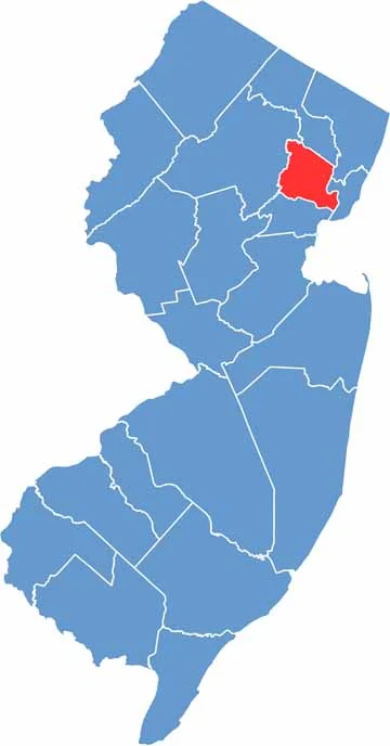
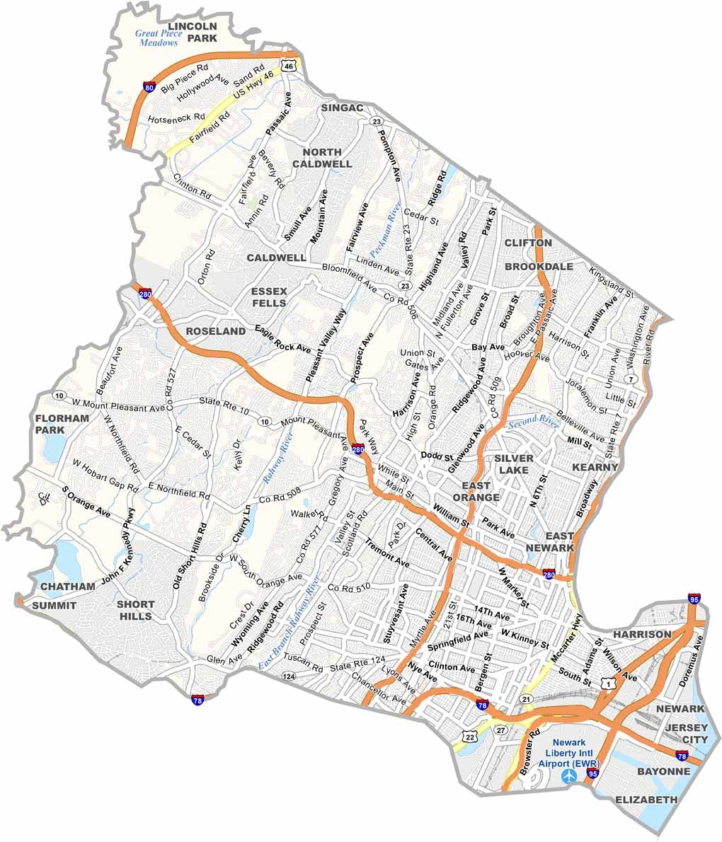
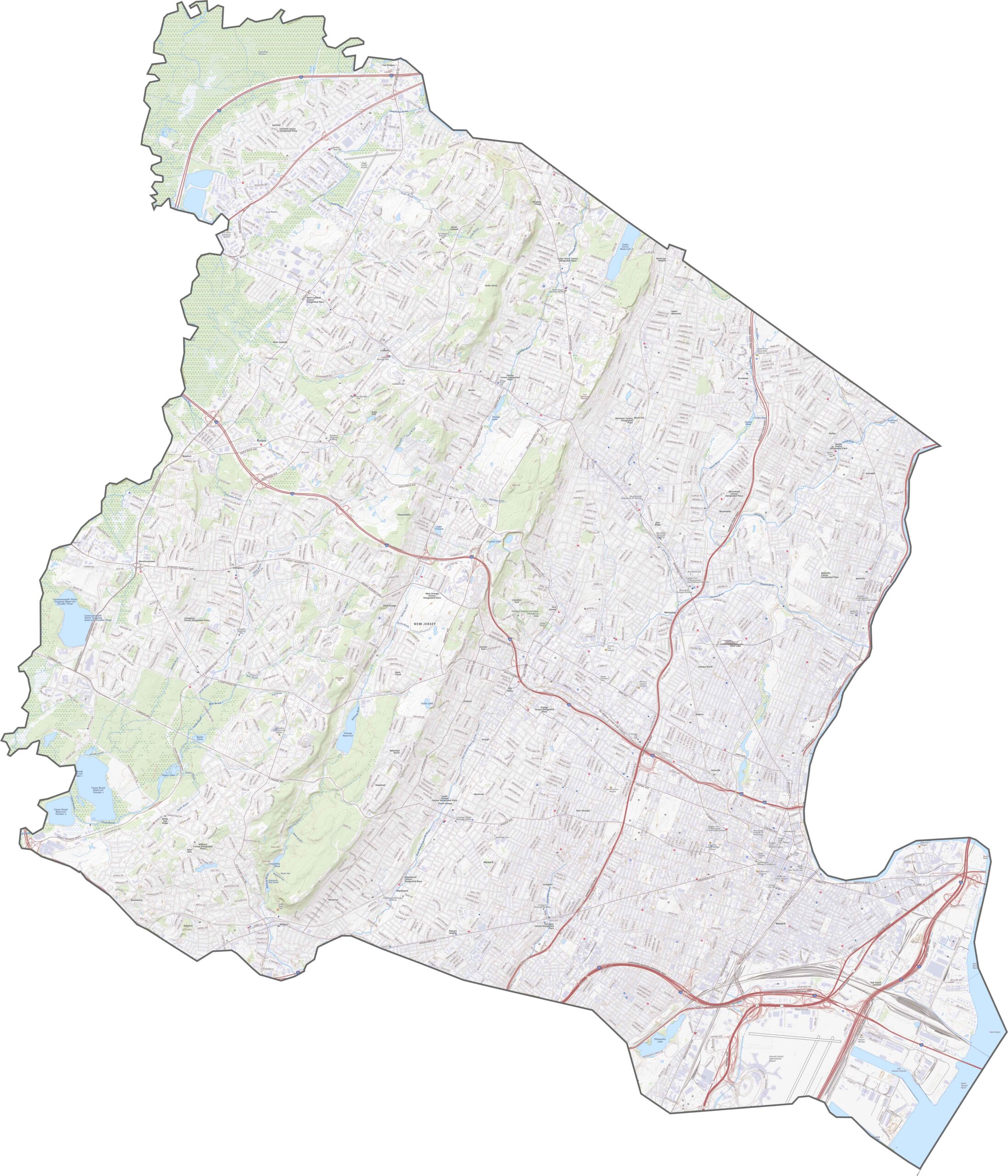
Essex County is wired with roads. I-280 cuts through the middle, while the Garden State Parkway cruises north to south and touches nearly every town. I-95 and Route 21 run close to the river, hugging Newark tightly. Traffic is constant, but the access is decent. You can explore Essex County's roads up close with our zoom tool.
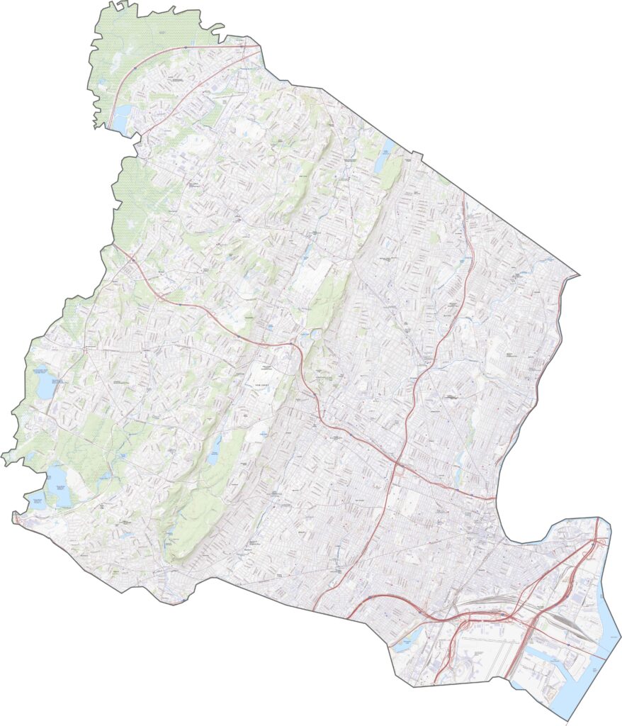
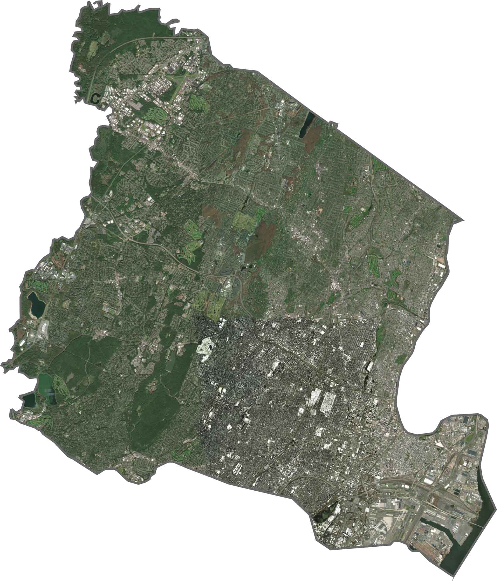
A busy grid of streets surrounds Newark, which looks like a dense gray blob, though green breaks appear throughout, especially in the parks. Most of the county is developed, but there's a bit of wilderness in the northwest corner. The eastern border follows the Passaic River and its port facilities.
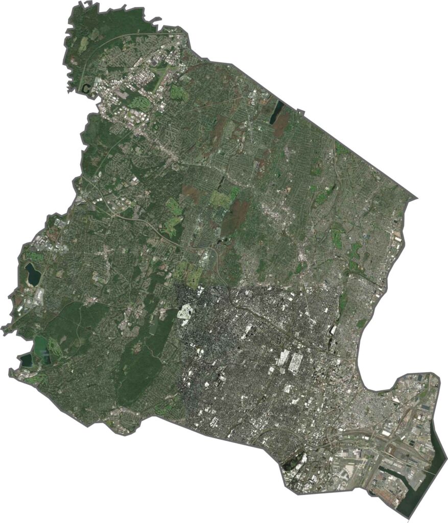
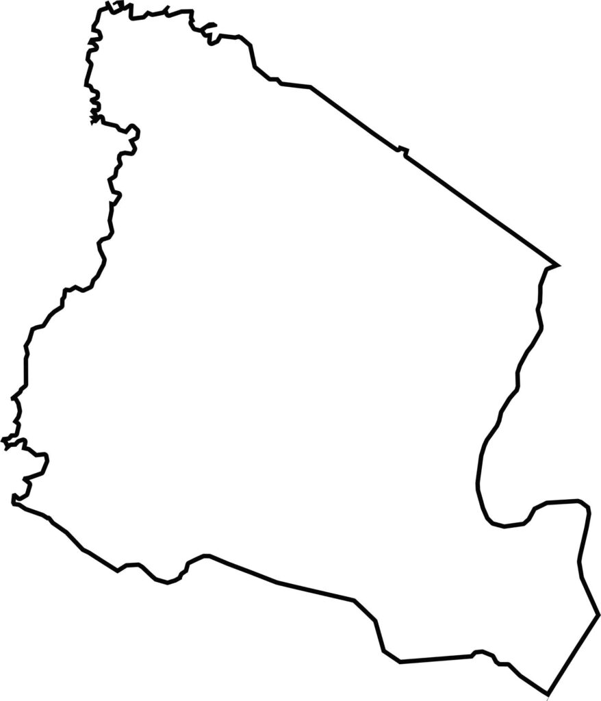
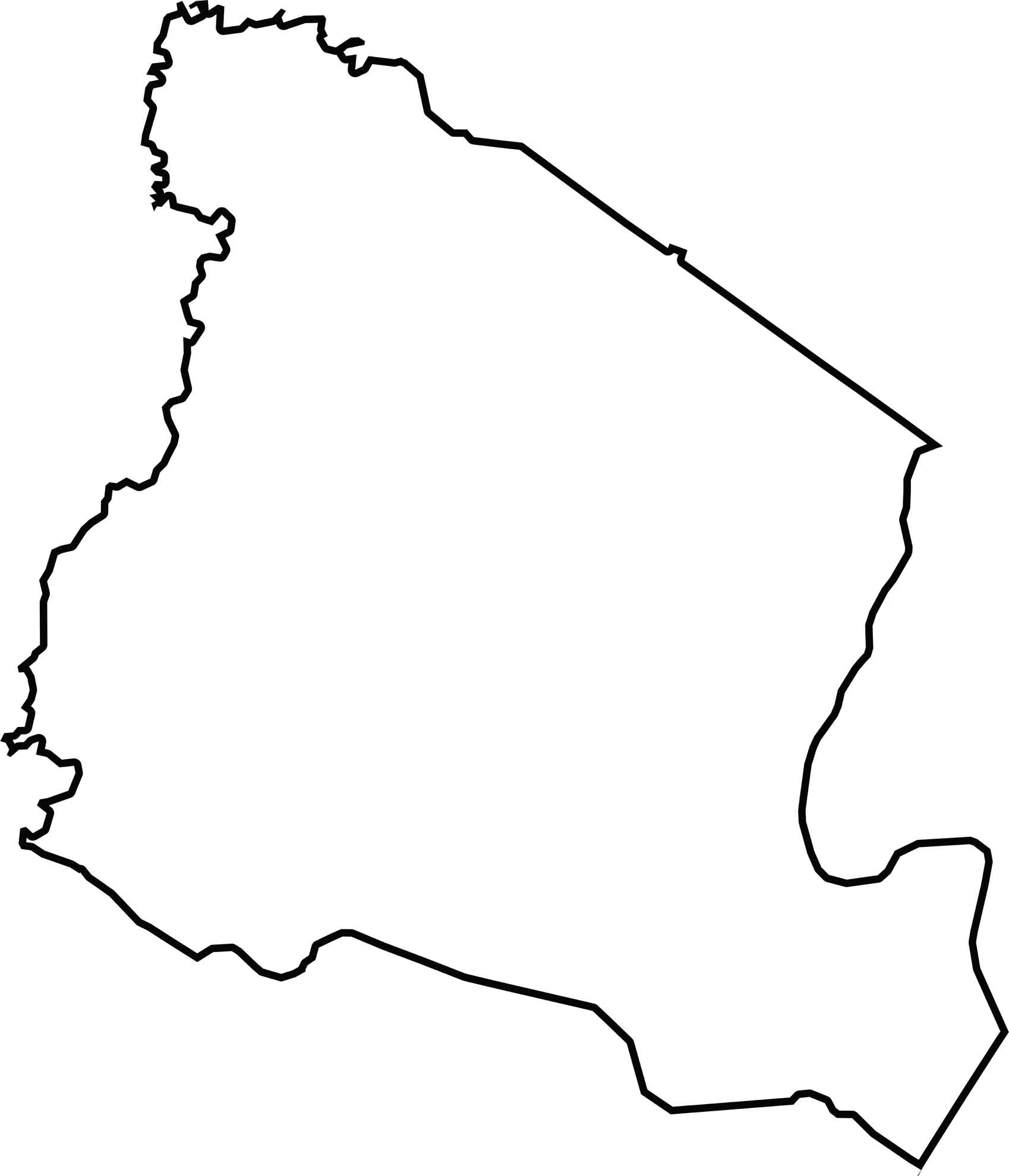
Essex County has a jagged, almost claw-like shape. It doesn't border another state, but it hugs the Passaic River on the east side, and its edges curl and spike around neighboring counties. It's not symmetrical, but it sure is memorable.






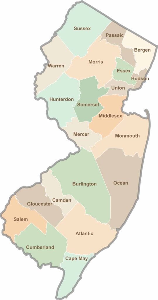
New Jersey packs a lot into its 21 counties, from beach towns and Pine Barrens forests to rolling farmland. Trace colonial history in Hunterdon County or stroll the boardwalk in Ocean County. There's far more here than meets the Turnpike.