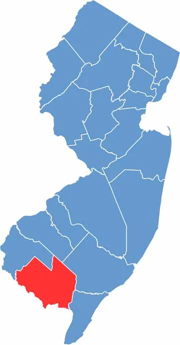
Cumberland County sits down in South Jersey, along the Delaware Bay. It's off the beaten path, but that's part of its charm. Vineland, the biggest city, is known for its rich agricultural heritage, and farms stretch across the landscape, making fresh produce a way of life.
The Delaware Bay coastline offers a different kind of shore experience than the Jersey Shore, quieter and more rugged. Birdwatching is popular here, especially during migration seasons.
The county has some quirky claims to fame too. Ever heard of the Palace of Depression? It's a wild folk art castle built during the Great Depression. History runs deep in places like Greenwich and Bridgeton, and the latter has one of the largest historic districts in the state.
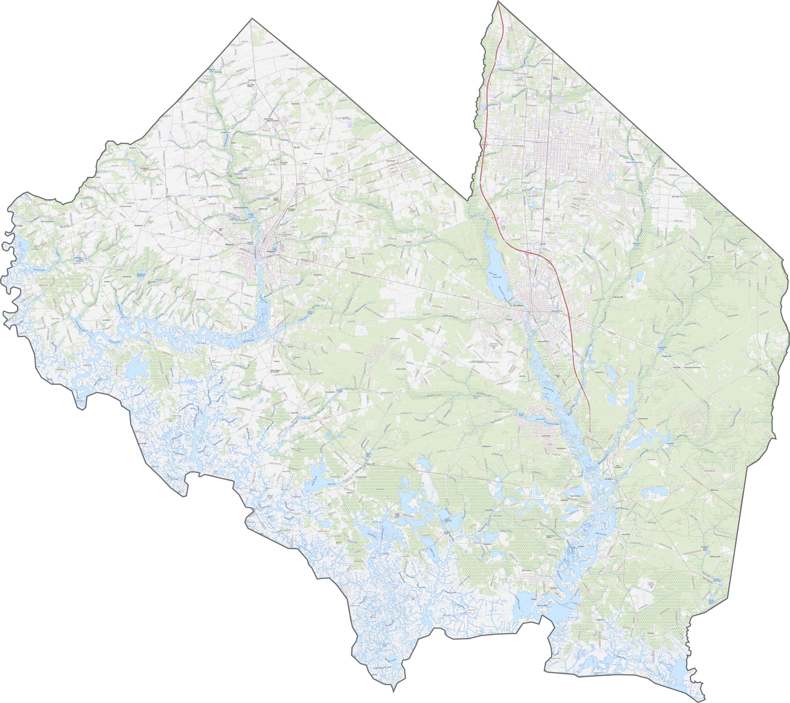
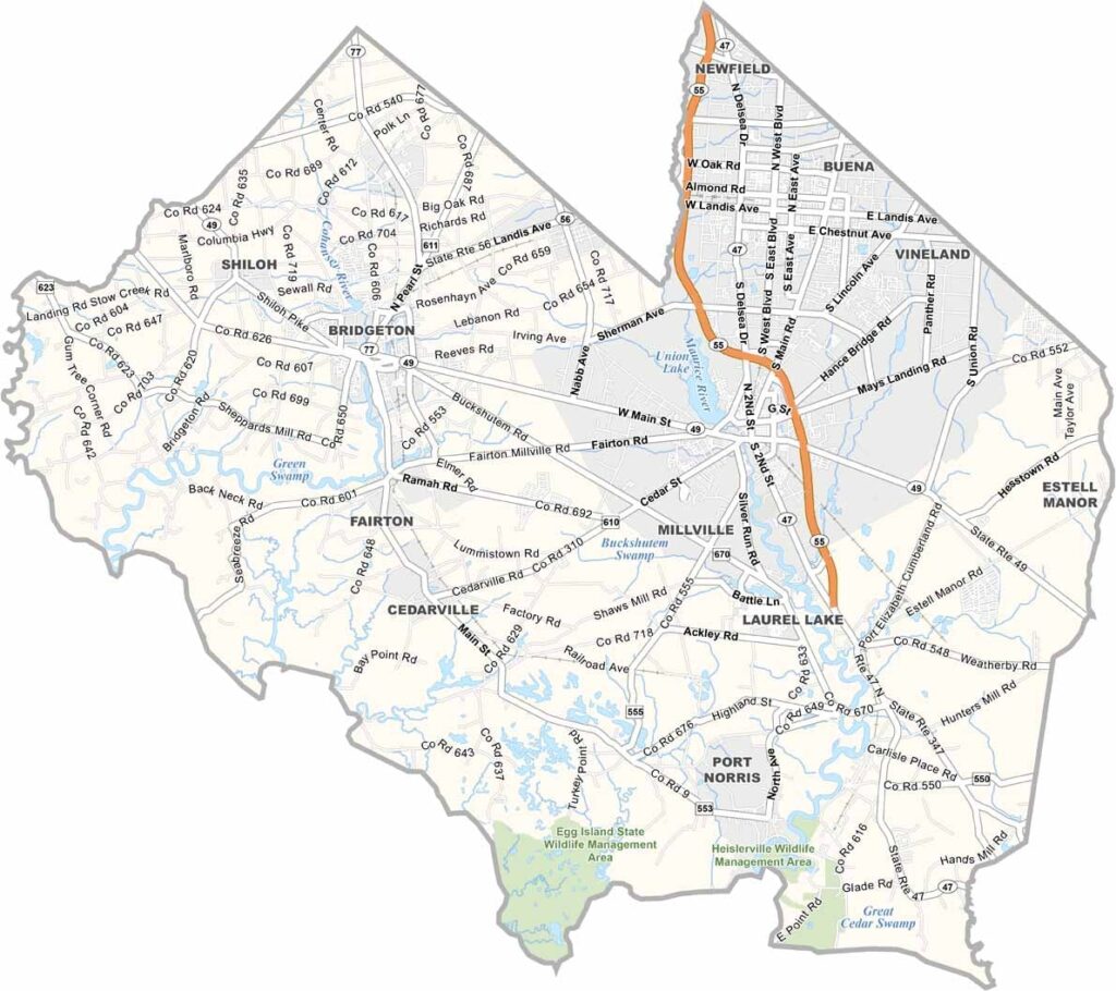
Cumberland County keeps things low-key. Route 55 is the main highway, slicing north to south, while Route 49 and Route 47 also cross through but feel more rural. The network isn't built for speed but for access, with some roads winding through farms and others cutting through forests. Zoom in on our map to see how they stretch across the county.
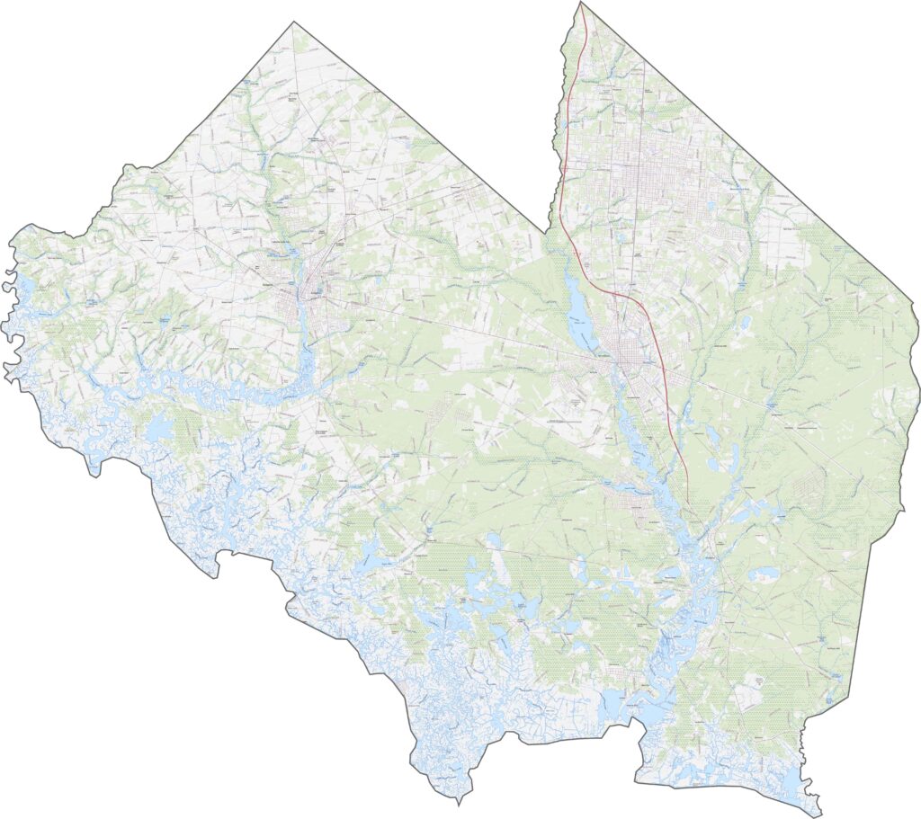
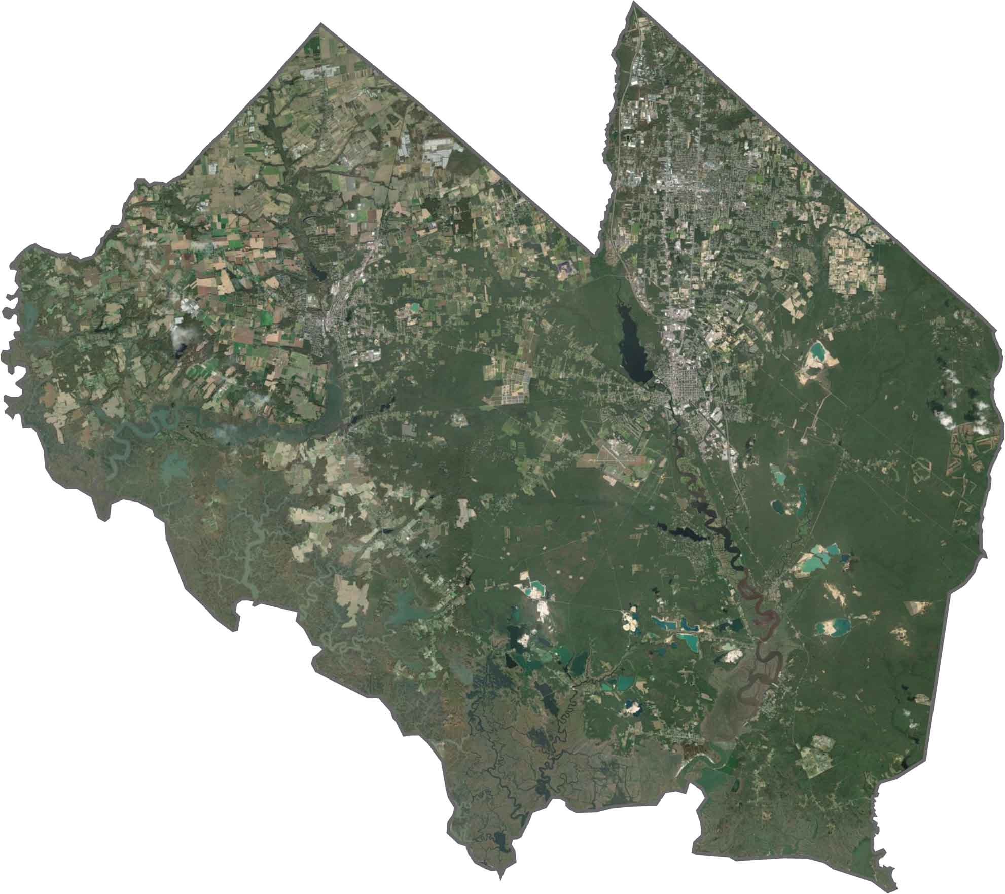
Cumberland County looks patchy from above, with blocks of farmland breaking up stretches of forest. Some towns are visible, but most of the county appears green or tan. The coast in the south looks muddy, with twisting inlets and marshes, and the Maurice River is easy to spot as it cuts a wide path to the bay.
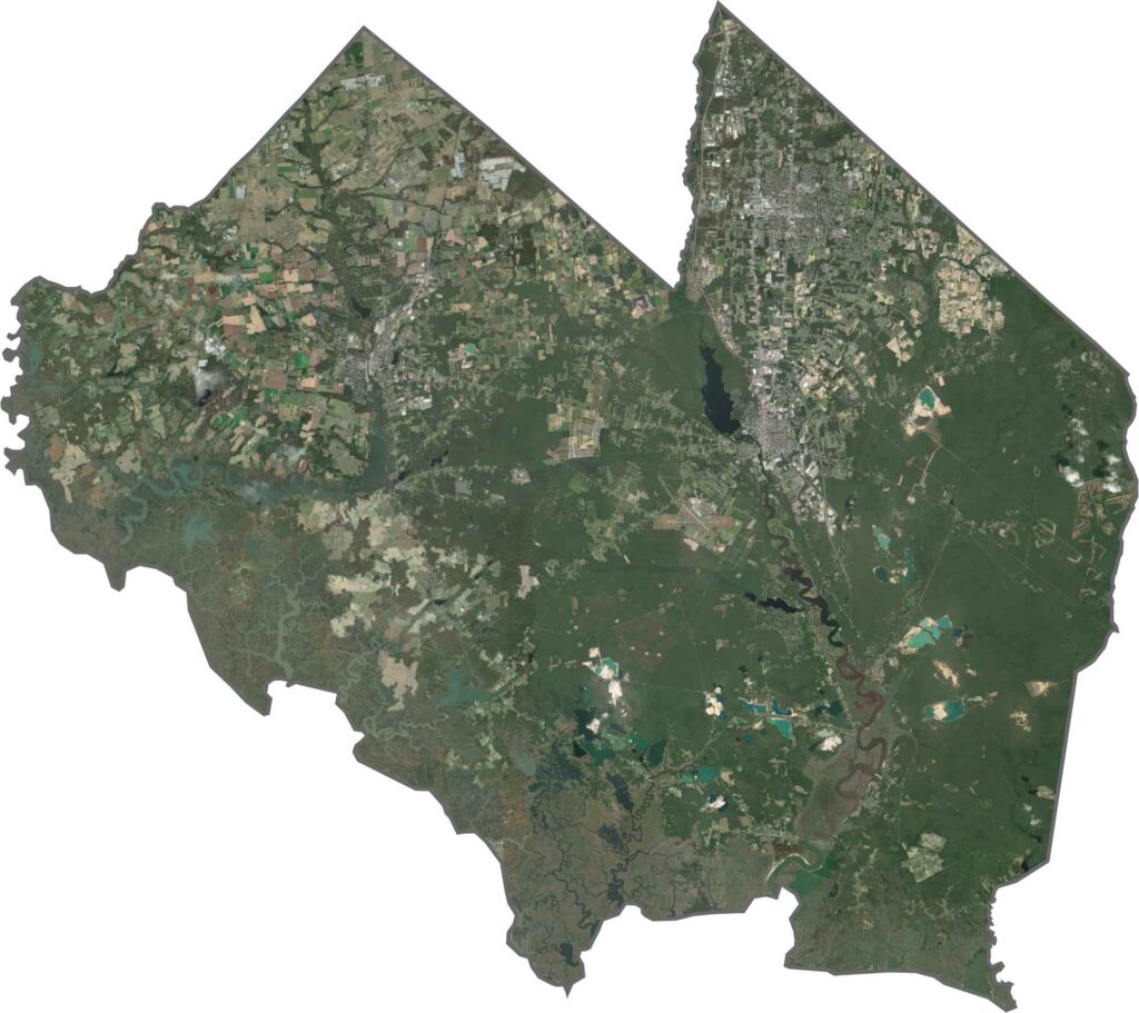
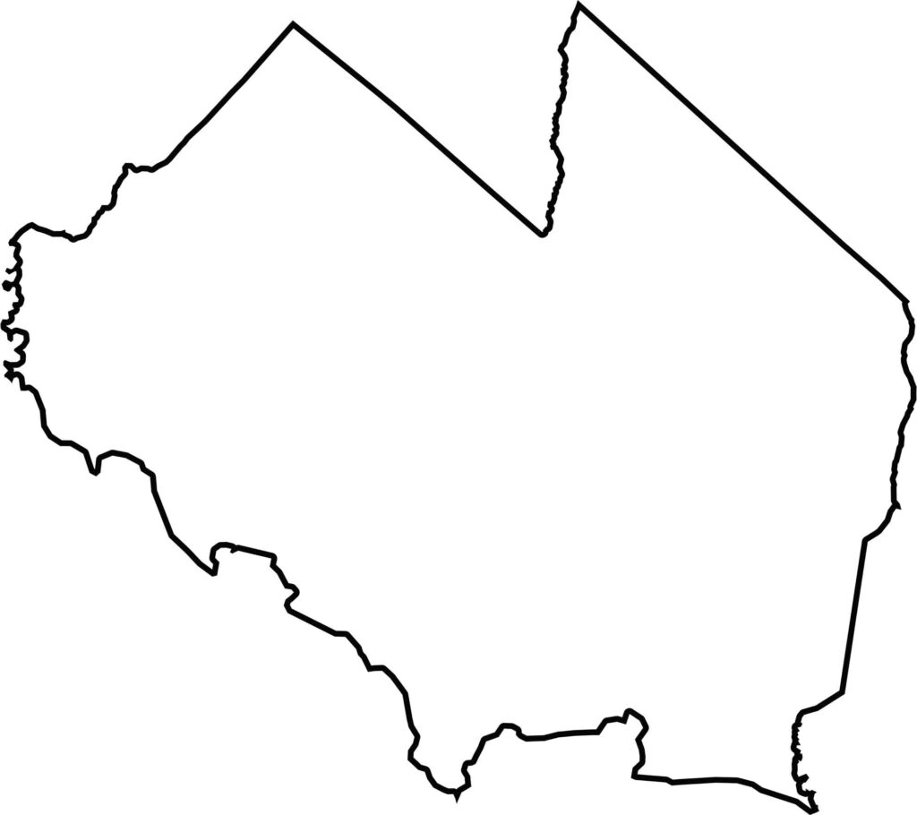
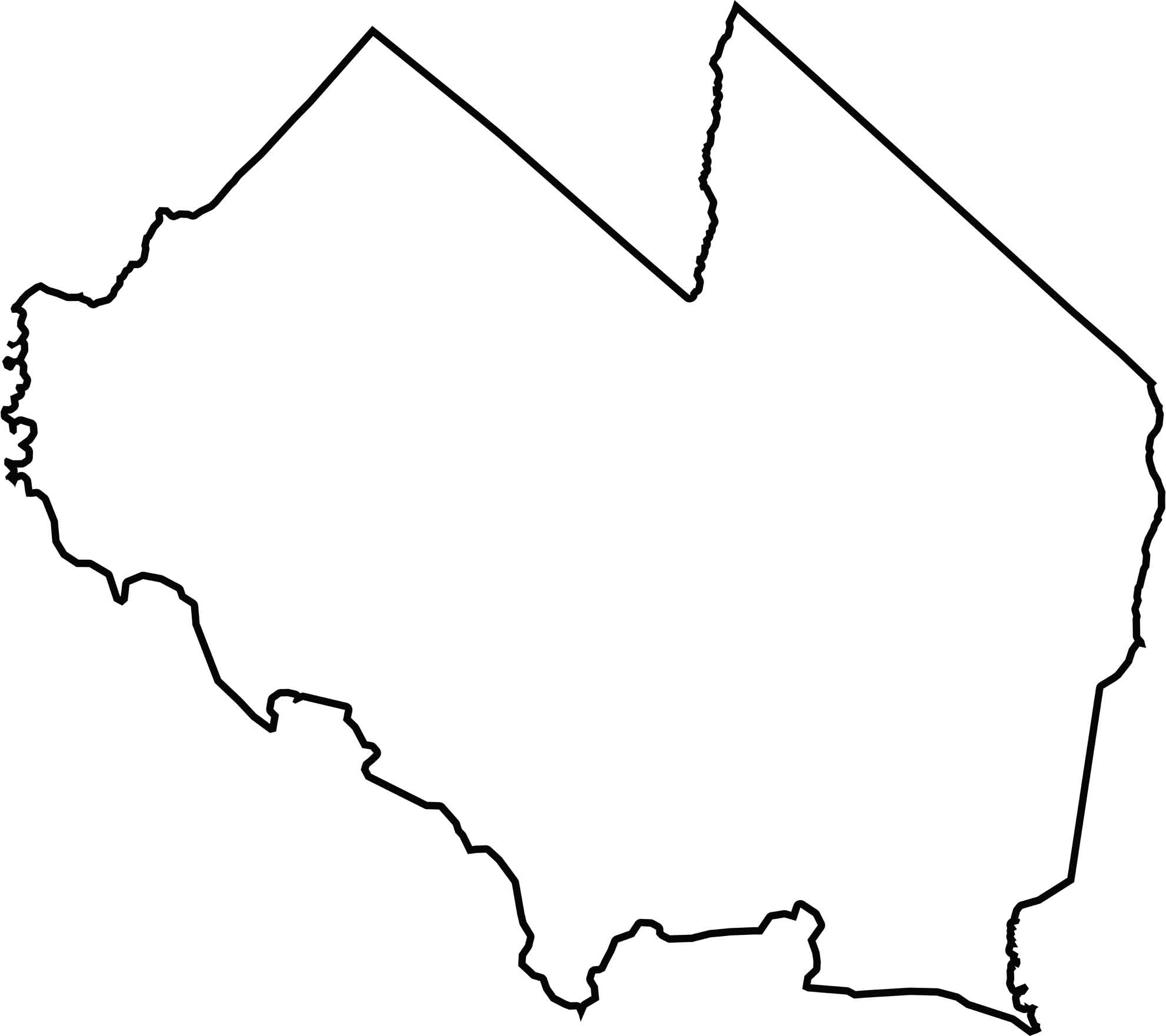
The western edge of Cumberland County hugs the Delaware Bay, with several fingers of land reaching into the water. The county doesn't border another state directly, but the bay separates it from Delaware. Inland, the shape is jagged but wide, with some boundaries following rivers and others simply curving through forest and field.