
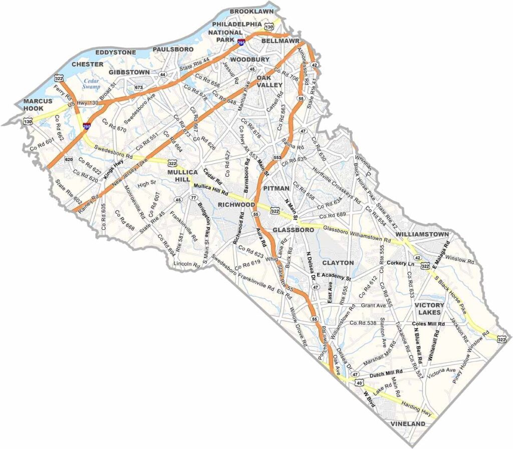
Gloucester County sits just south of Philadelphia, across the Delaware River, and offers a mix of farmland and suburbs. Rowan University calls Glassboro home, bringing a youthful energy to the area.
The county has deep roots in agriculture, and plenty of farm stands still sell Jersey Fresh produce. Mullica Hill's main street is a trip back in time, with its antique shops and historic buildings, and visitors love the trails in Scotland Run Park.
The Delaware River shapes the county's northwestern edge and offers tons of recreation opportunities. Woodbury, the county seat, has some modern amenities and sits close to Philly while keeping its own laid-back vibe. Here, you can enjoy both rural peace and suburban convenience.
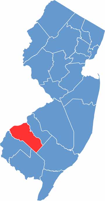
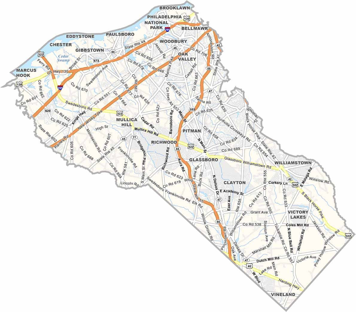
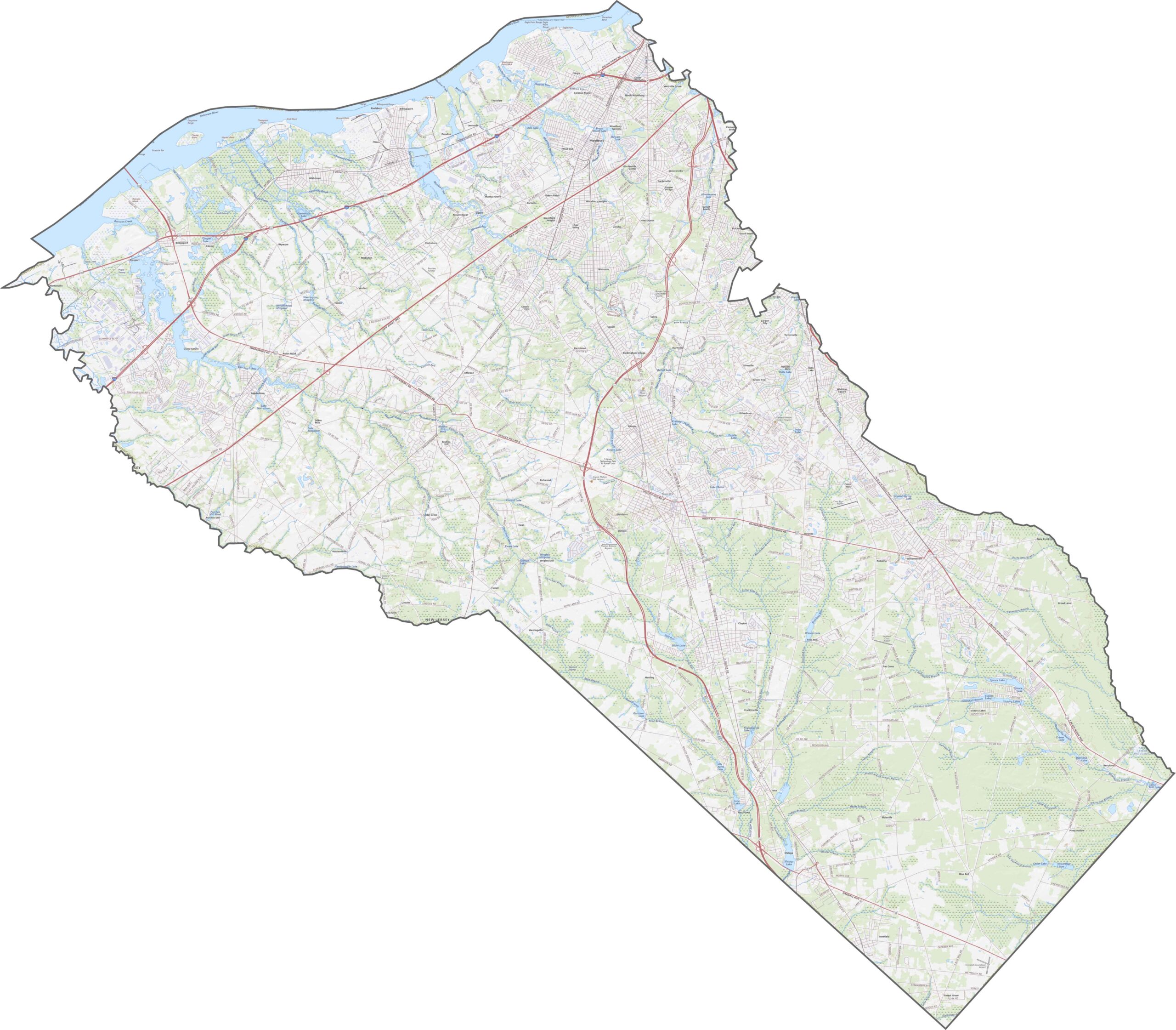
I-295 is the only interstate highway you'll find in Gloucester County, and the New Jersey Turnpike cuts a clean, diagonal path through as well. Both are fast, but Route 55 does some of the work heading toward the shore. Want a better look? Zoom in with our interactive map tool below.
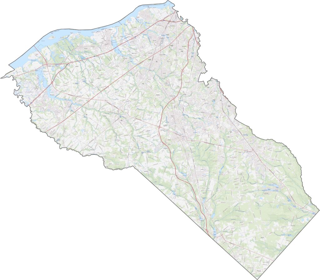
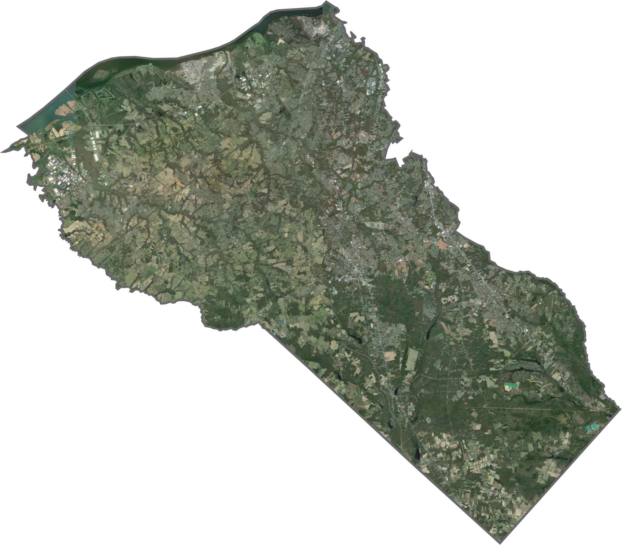
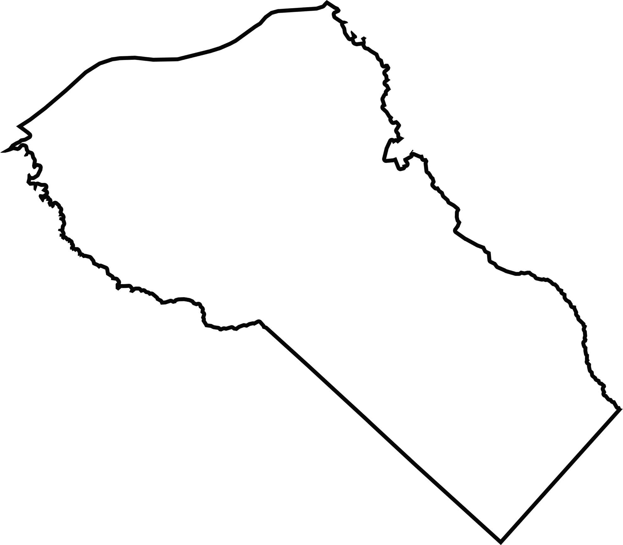
From above, Gloucester County displays a mix of farm fields and neighborhoods. Unlike some counties, though, its northwestern edge blends into wetland and riverbank. Development thickens near the north, while the southern end feels greener.
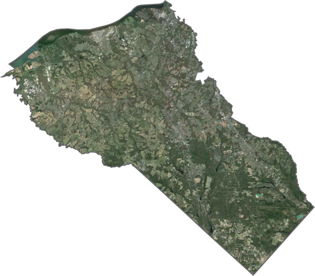
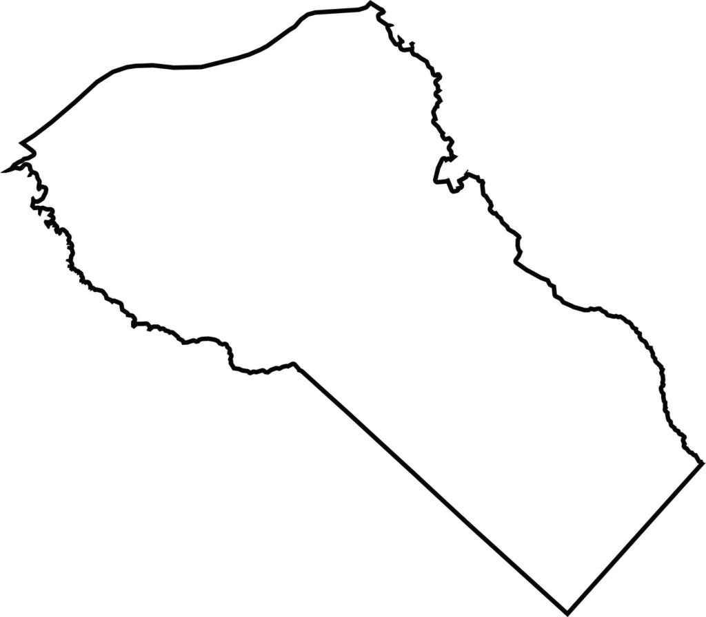
The county's shape spreads diagonally, and its northwestern boundary is carved by the Delaware River, forming a natural, flowing border with Pennsylvania. The south is more squared off, but it curves gently toward the southeast.






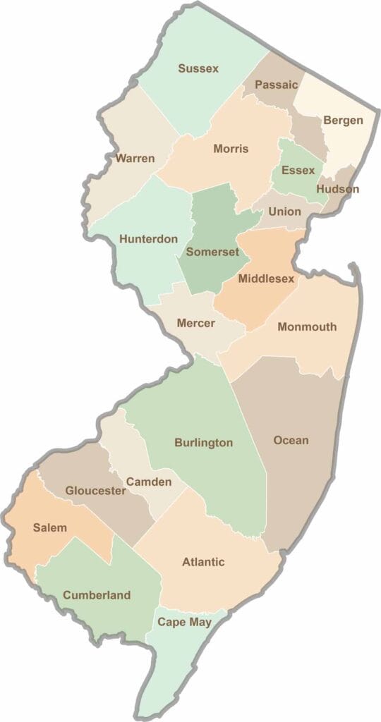
New Jersey packs a lot into its 21 counties, from beach towns and Pine Barrens forests to rolling farmland. Trace colonial history in Hunterdon County or stroll the boardwalk in Ocean County. There's far more here than meets the Turnpike.