
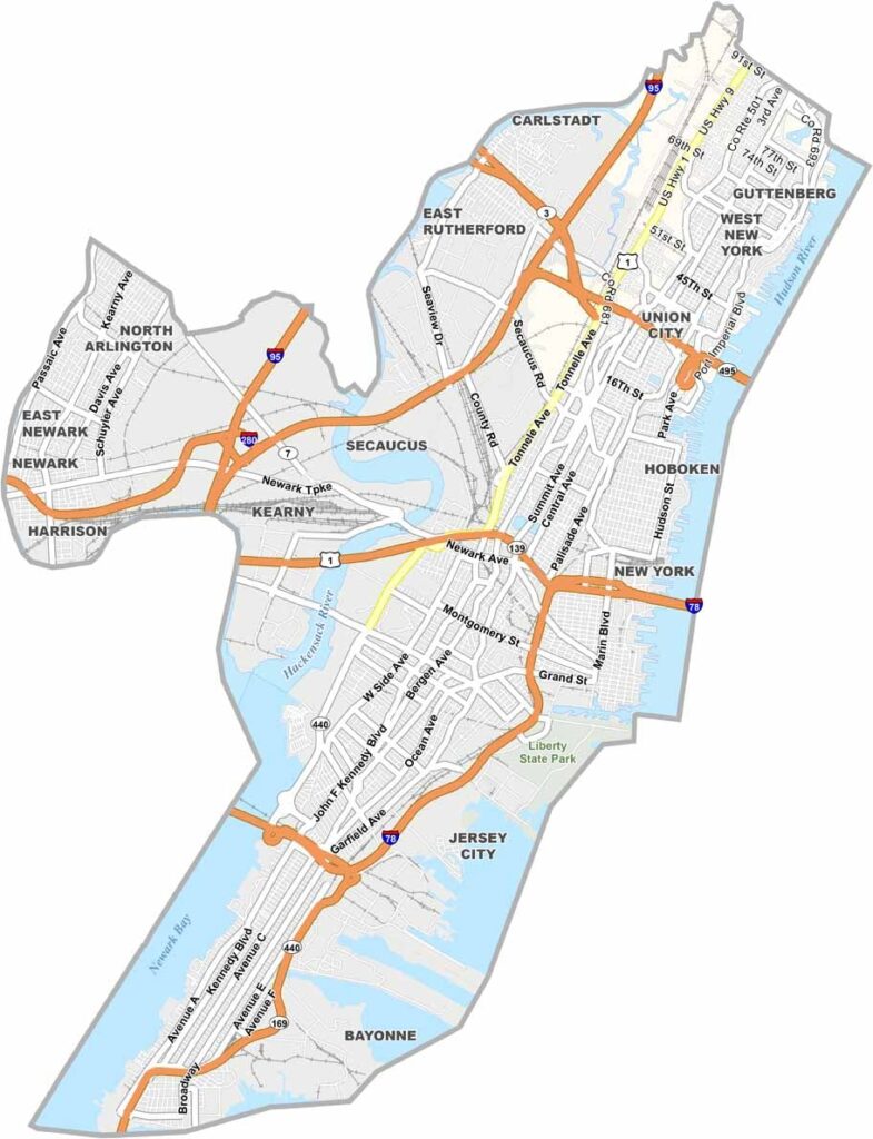
Hudson County packs a lot into a small space. Sitting right across the Hudson River from Manhattan, it has plenty of that New York energy. Jersey City is the star here, with its booming waterfront and diverse neighborhoods, and the views of the NYC skyline are unbeatable.
Hoboken is nicknamed the "Mile Square City," though it's actually a tad bigger than that. It has great bars and restaurants, and it even claims to be the birthplace of baseball. The county isn't all city, though. Liberty State Park offers a green escape with killer views, and you can catch a ferry from here to Ellis Island and the Statue of Liberty.
Hudson is incredibly diverse, and you'll hear languages from all over the world on its streets. It's a place of constant change and movement, where old industrial areas are becoming hip new neighborhoods. Hudson County never stands still.
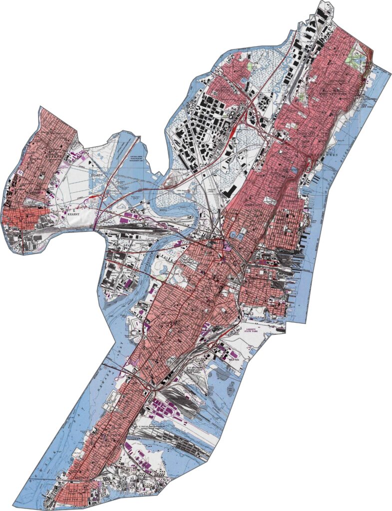
Hudson County rises sharply from the river, with the Palisades cliffs marking the edge before the land flattens into urban plateaus. The county is small, but the elevation difference is significant, and the views from the top are incredible. It's a vertical county packed into a narrow space.
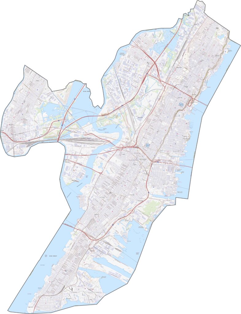
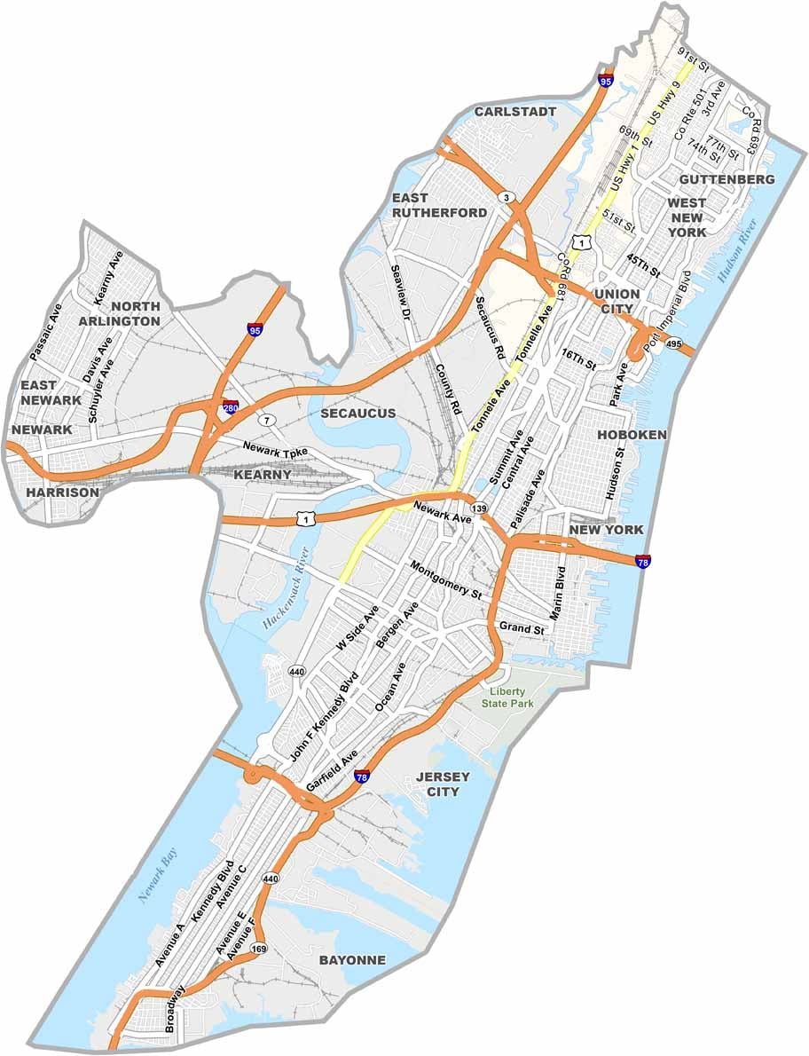
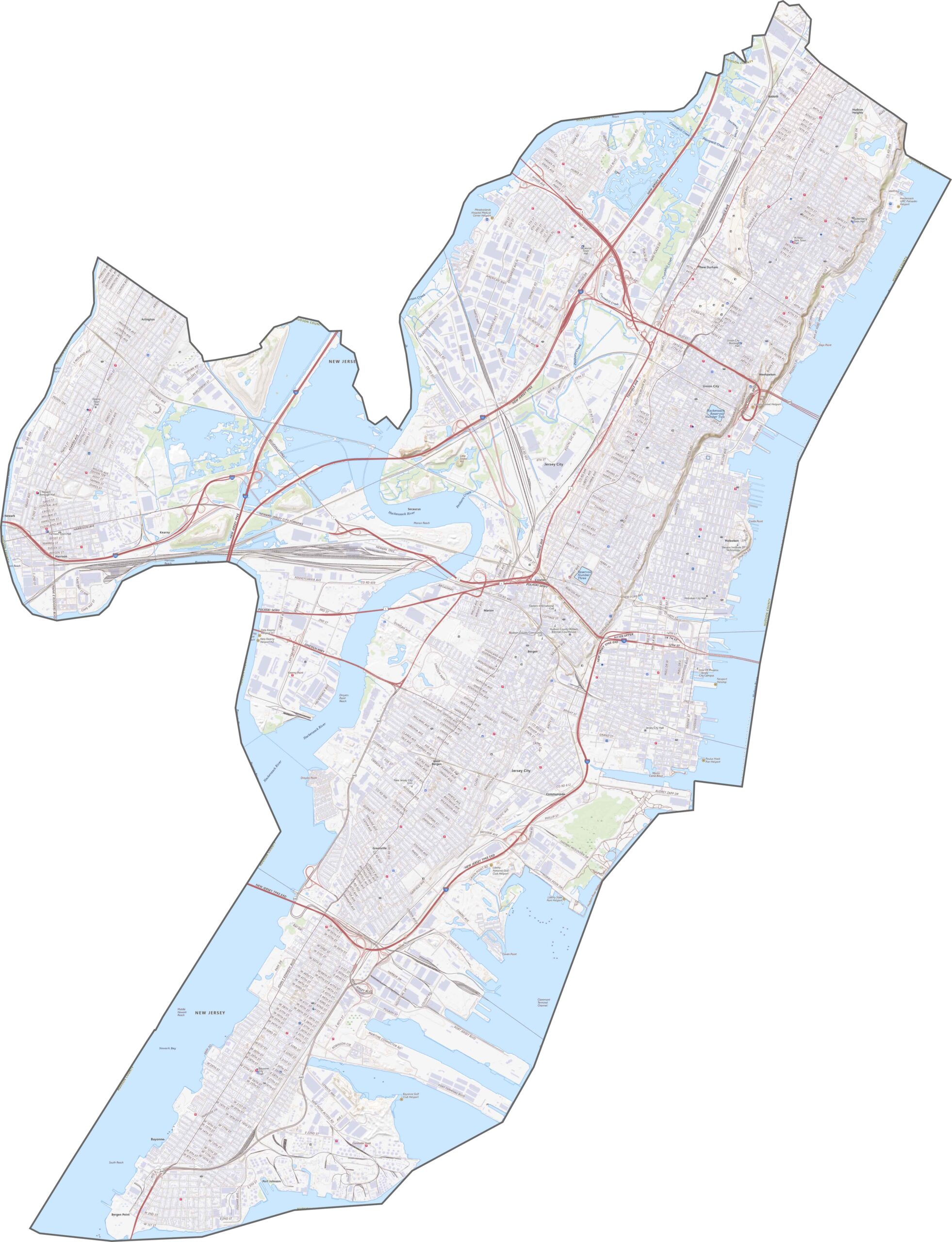
Tight space, high volume. I-78 and the New Jersey Turnpike Extension slice into Jersey City and Bayonne, and the roads here work overtime despite their short length. Tunnels and bridges dominate, from the Holland Tunnel and Lincoln Tunnel to the Bayonne Bridge. It's more connections than countryside. Find out more with our road map and zoom tool below.
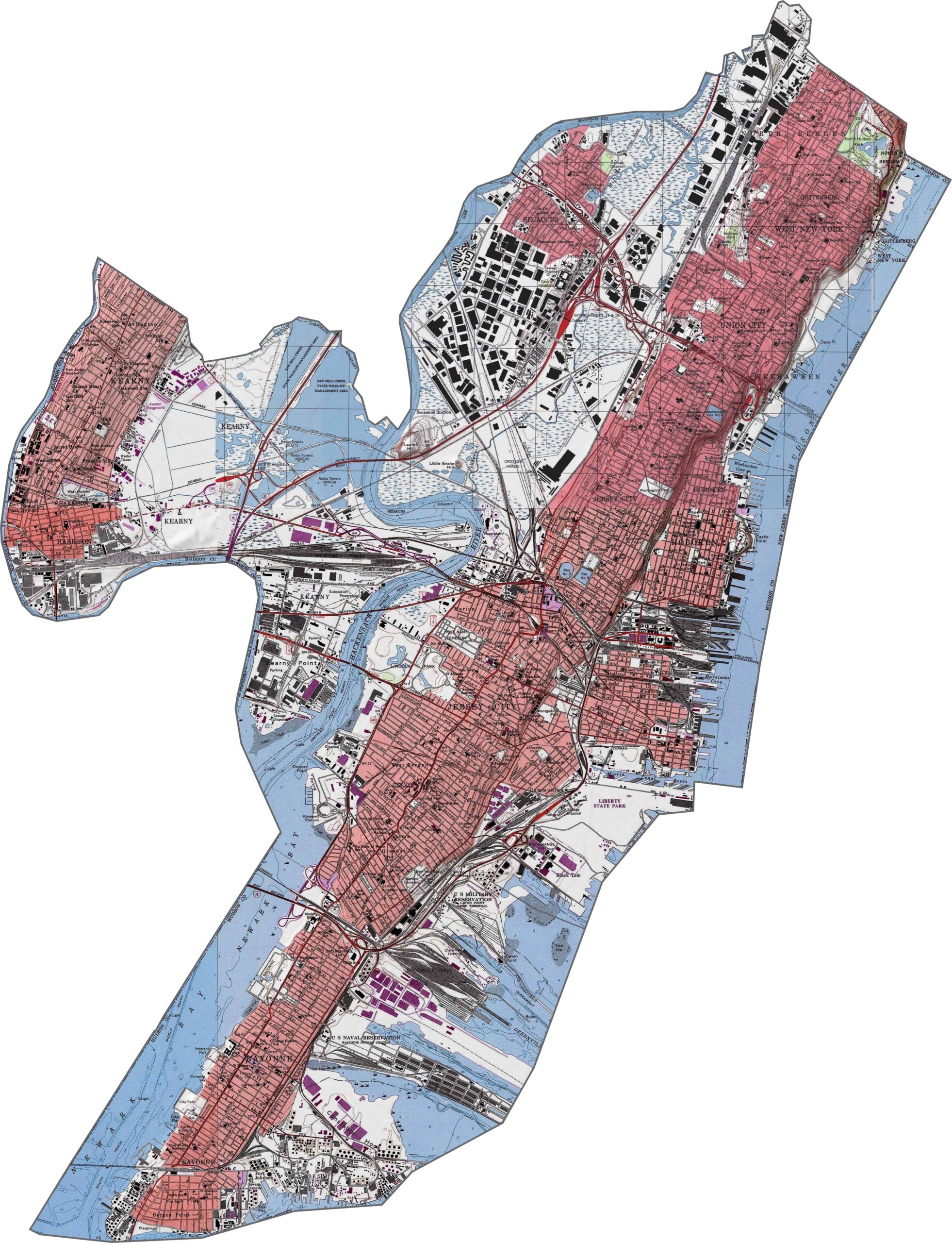
This county definitely shows off its rooftops and concrete. Jersey City, Hoboken, and Union City blur together in dense blocks, and the parks are only tiny patches of green in a mostly gray landscape. Ferries, docks, and railyards give the coast a busy look.
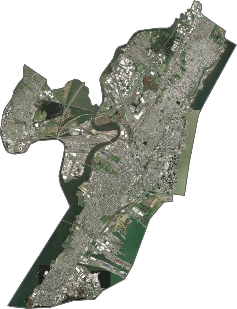
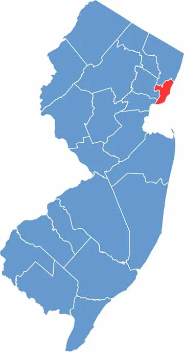
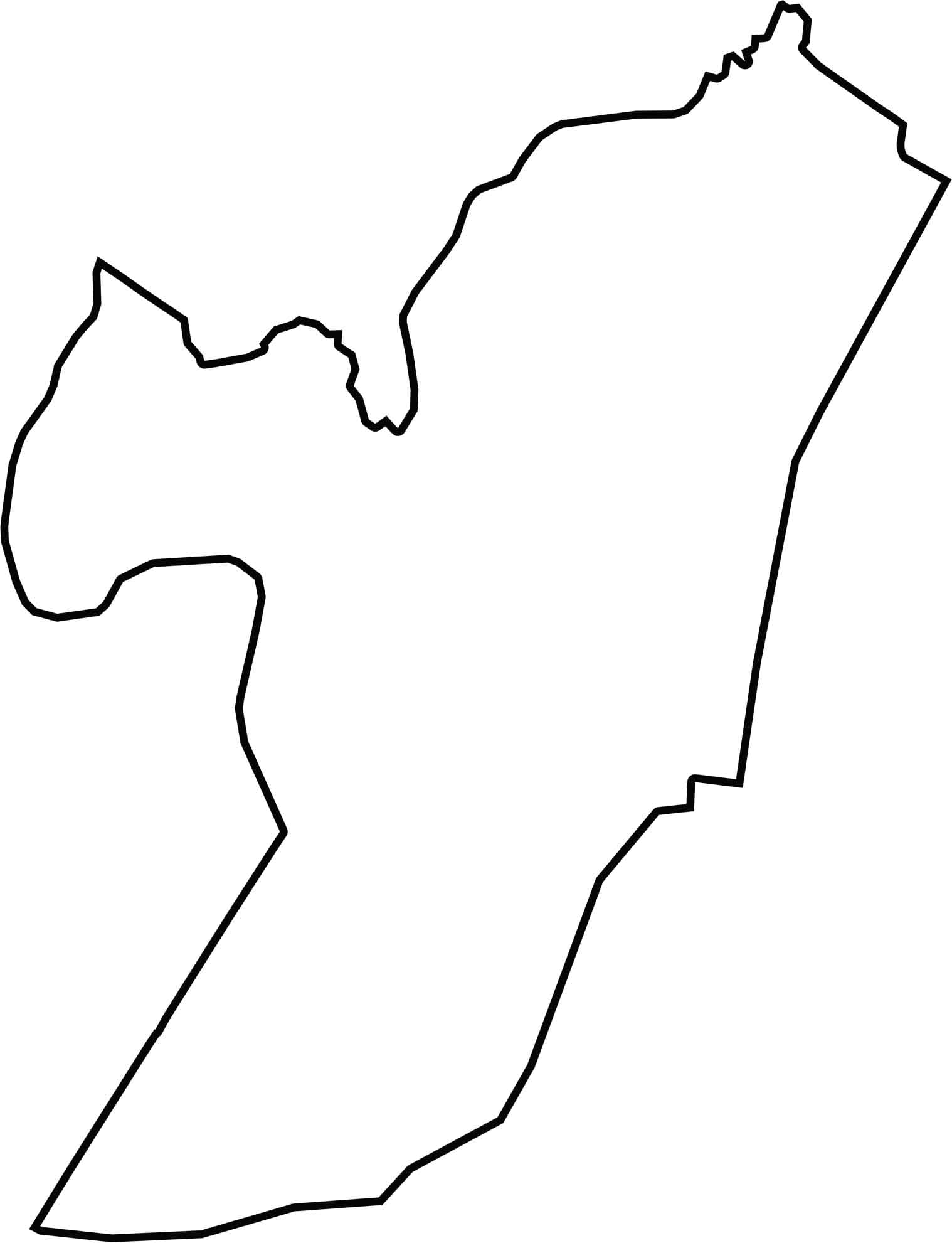
Hudson County is long, thin, and pinched, squeezed between Newark Bay and the Hudson River. The eastern border runs along the Hudson River, straight across from Manhattan, so yes, New York is just across the water. The county is small, but it packs a punch.






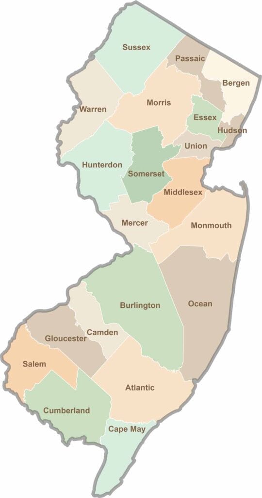
New Jersey packs a lot into its 21 counties, from beach towns and Pine Barrens forests to rolling farmland. Trace colonial history in Hunterdon County or stroll the boardwalk in Ocean County. There's far more here than meets the Turnpike.