
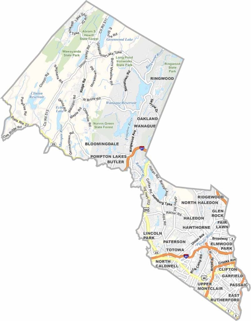
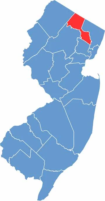
Passaic County sits in North Jersey, not far from New York City. Paterson, the county seat, was once an industrial powerhouse and is now reinventing itself, with the Great Falls as its centerpiece. These 77-foot falls powered the city's mills back in the day and are now a national historic park.
Head north and the landscape changes dramatically as you enter the Highlands, a land of forests and lakes. Ringwood State Park is a hiker's paradise, and Garret Mountain Reservation is a recreational area with grass fields and miles of hiking trails.
Passaic County is incredibly diverse, and you'll hear languages from all over the world on its streets. From urban grit to rural charm, this county runs the gamut. In a single day, you can enjoy an authentic Peruvian meal in Paterson and then go kayaking in West Milford.
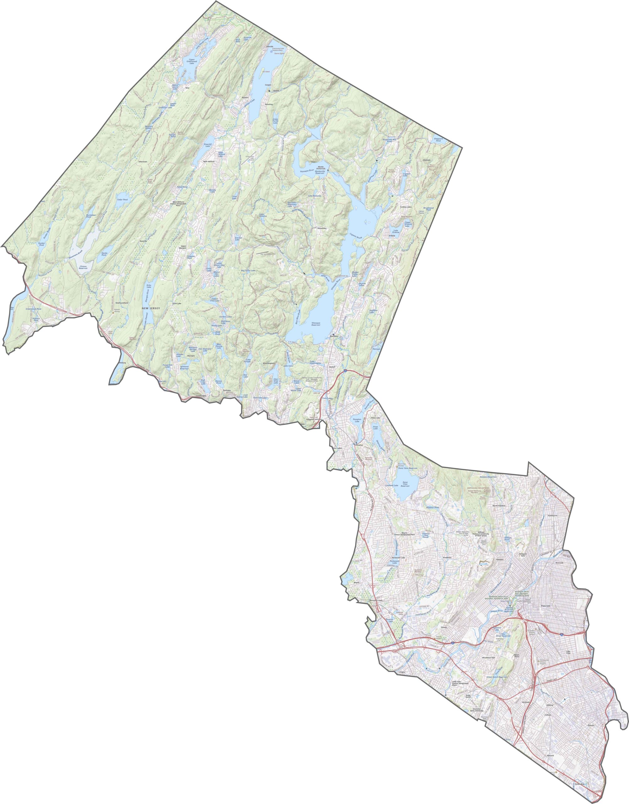
Use our zoom tool on the Passaic County road map below. Route 80 slices across the southern edge, busy and fast, while Route 46 runs close by to handle the overflow. Head north, though, and the highways thin out quickly.
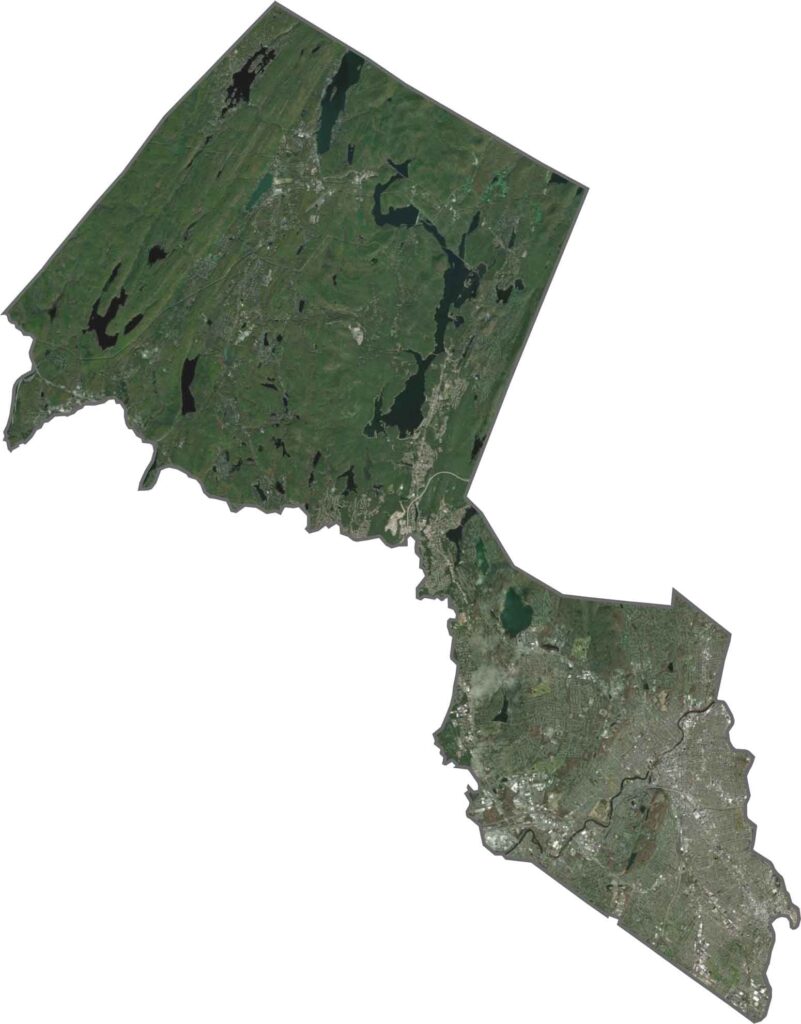
Our satellite map reveals an obvious split. Dense, gray city blocks fill the southern half, with Paterson standing out near the center. Then, almost as if someone flipped a switch, green takes over the north. You'll spot reservoirs like Wanaque and Clinton, with thick forest wrapping around them.
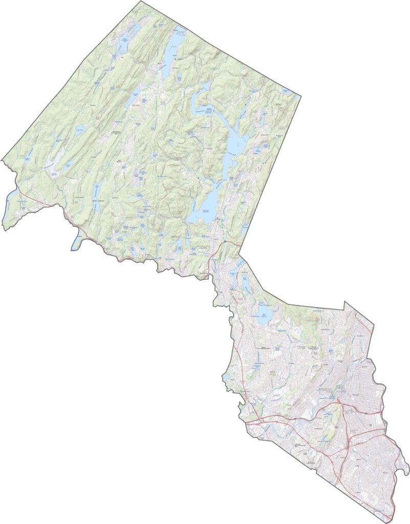
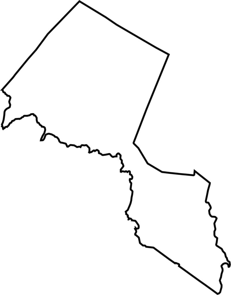
Passaic County looks as if it's been squeezed in the middle, with the top and bottom thickening out. The northern tip presses against New York State, while the southern edge merges into the sprawl of Essex and Bergen.







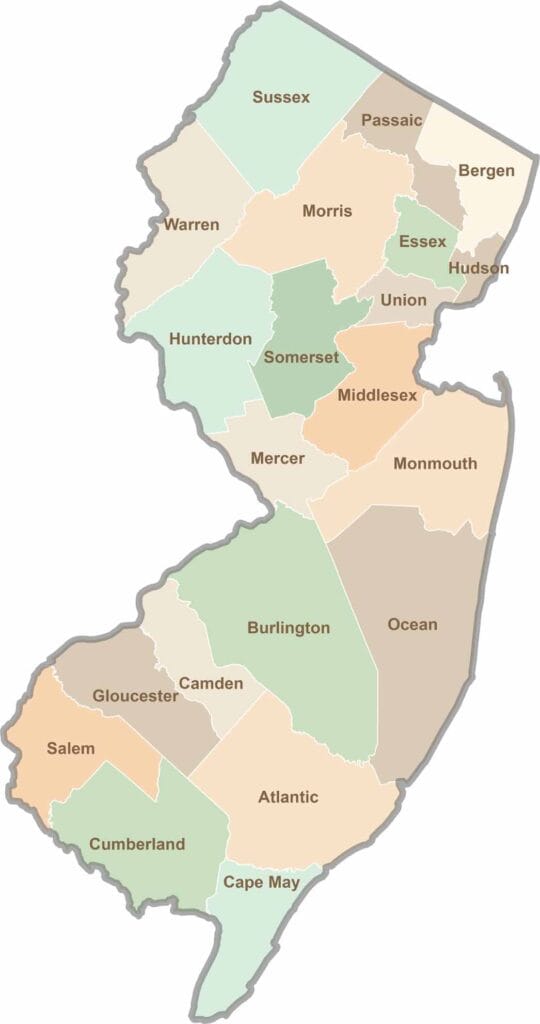
New Jersey packs a lot into its 21 counties, from beach towns and Pine Barrens forests to rolling farmland. Trace colonial history in Hunterdon County or stroll the boardwalk in Ocean County. There's far more here than meets the Turnpike.