
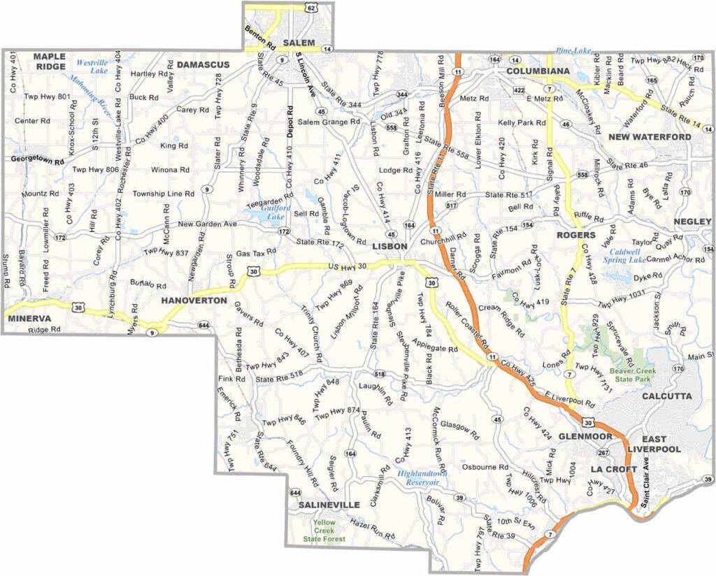
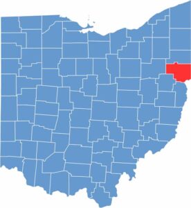
Columbiana County lies along the eastern edge of Ohio, bordering Pennsylvania and West Virginia. It’s where Appalachian culture blends with Midwestern charm. The county also has a rich industrial heritage, particularly in pottery and ceramics.
East Liverpool, once called the “Pottery Capital of the World,” still embraces that legacy. Lisbon serves as the county seat and sits near the center of the county. Throughout the area, you’ll find scenic rolling hills and farmland.
Beaver Creek State Park sits along the banks of Little Beaver Creek, offering hiking trails and scenic river views. Columbiana County is also known for its covered bridges, with these historic structures providing a glimpse into the past.
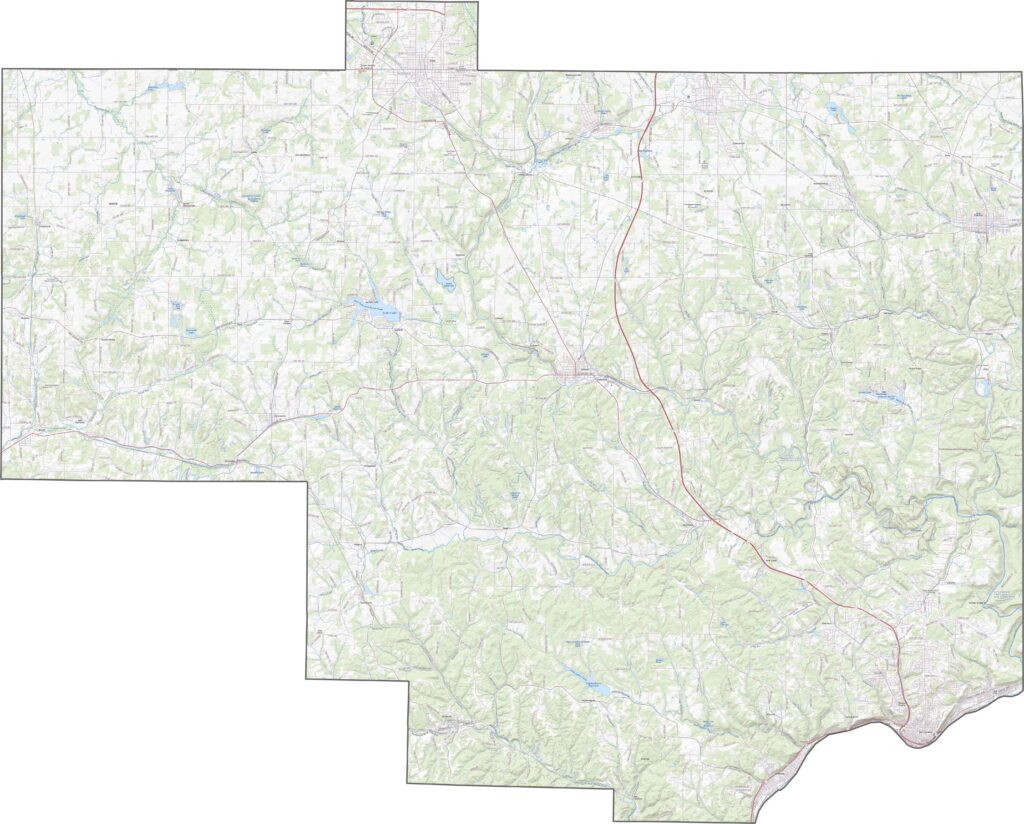
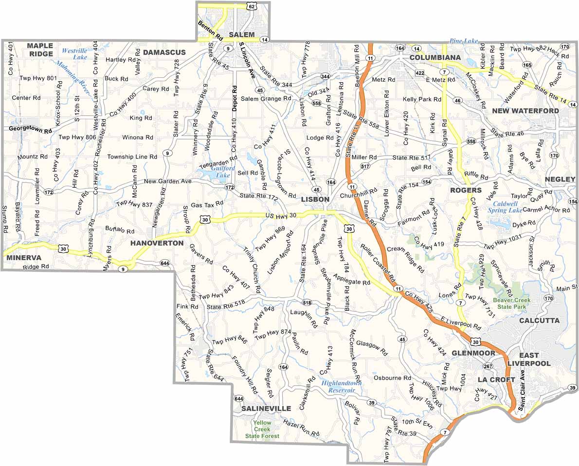
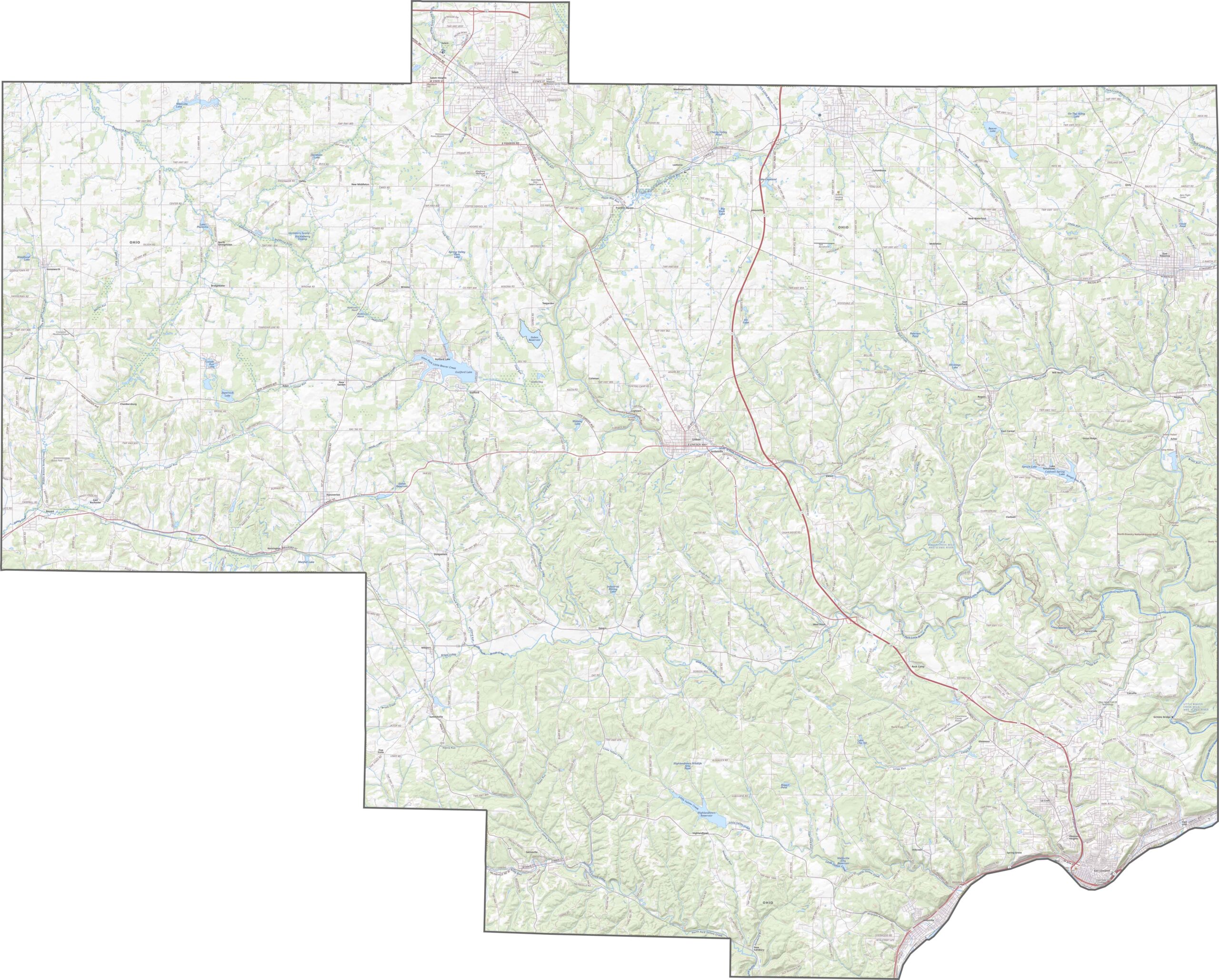
Columbiana County has several important highways, although no interstates run directly through the area. U.S. Route 30 provides east-west travel, while State Route 11 runs north to south and is limited-access in some sections. The roads cover the county well, but many wind through hills and valleys. Use our zoom tool below to explore the county’s winding road network.
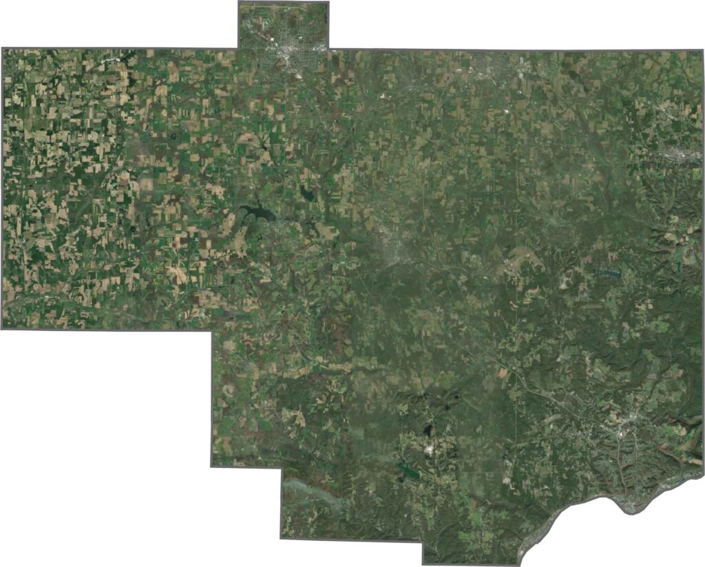
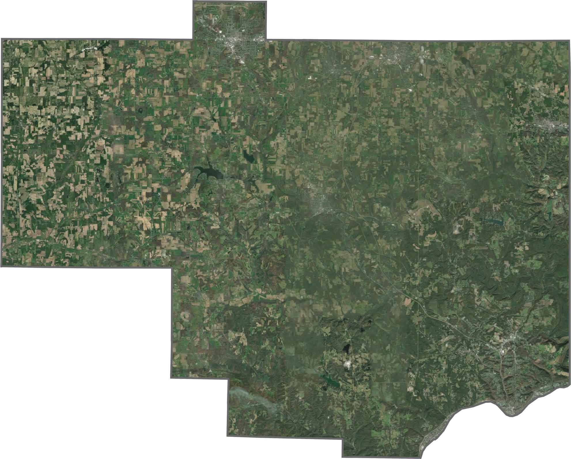
Forests cover large parts of Columbiana County, with farmland scattered among the tree-covered hills. East Liverpool and Salem stand out near the edges, while many other areas remain rural and undeveloped. Rivers and railroad corridors wind through the narrow valleys, adding more detail to the landscape.
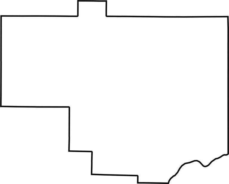
Columbiana County sits in eastern Ohio and borders Pennsylvania to the east. Its outline is irregular, with a shape that is neither square nor round. The Ohio River forms the southeastern boundary, while much of the remaining border follows angled survey lines.








Forget the coast. Ohio’s 88 counties are where everyday America comes alive. No pretense, no postcard perfection—just hardworking towns and quiet backroads that grow on you. This is the Midwest without the filter.