
Hamilton County is home to Cincinnati, the big show in southwestern Ohio. It sits along the Ohio River and borders both Indiana and Kentucky. With more than 800,000 residents, the county is always buzzing with activity.
The Reds and Bengals keep sports fans entertained year-round. You can’t miss Cincinnati’s impressive skyline when driving in on I-75. Visitors also come for the food, from chili to goetta, with plenty of local favorites to try.
But Hamilton County is more than just the city. There are great parks for a break from the bustle, along with Underground Railroad sites that draw visitors interested in history. Art lovers can also visit the Cincinnati Art Museum, a must-see attraction.
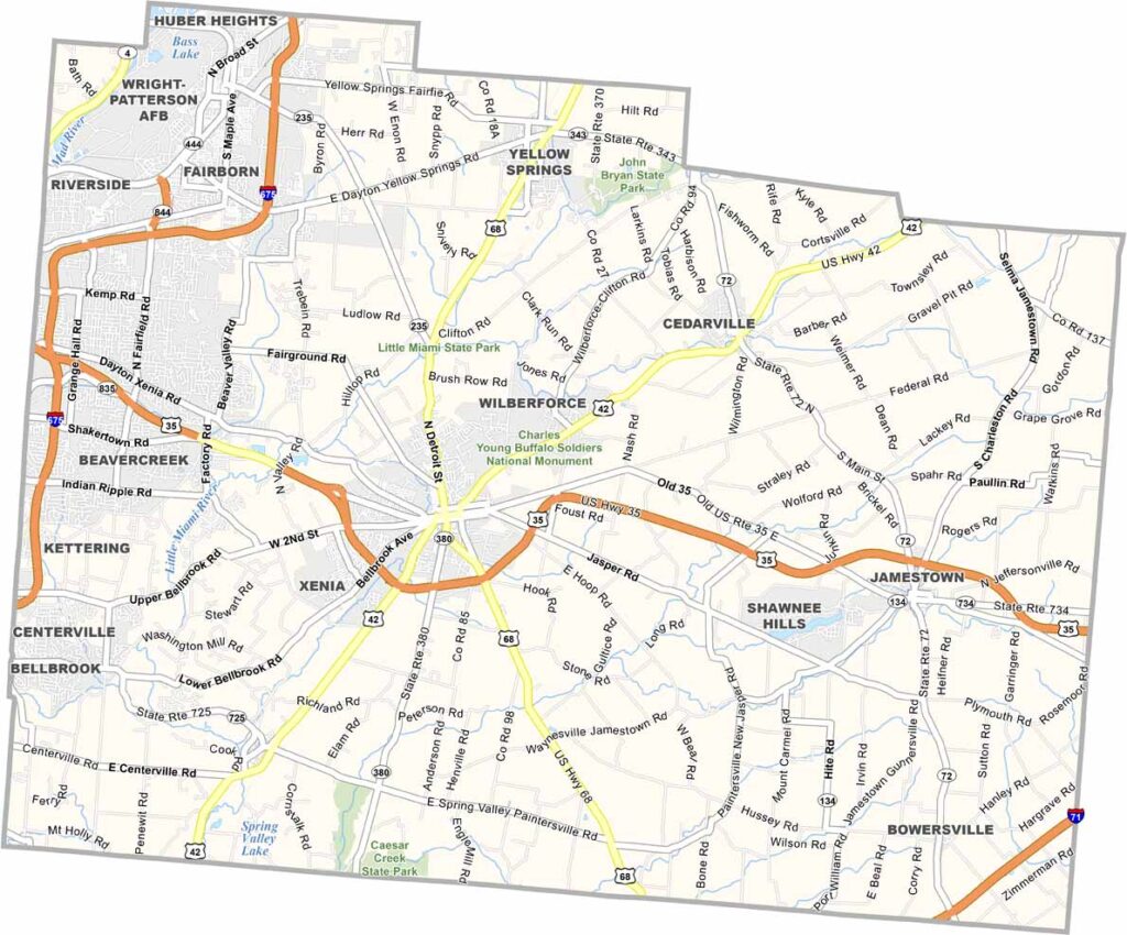
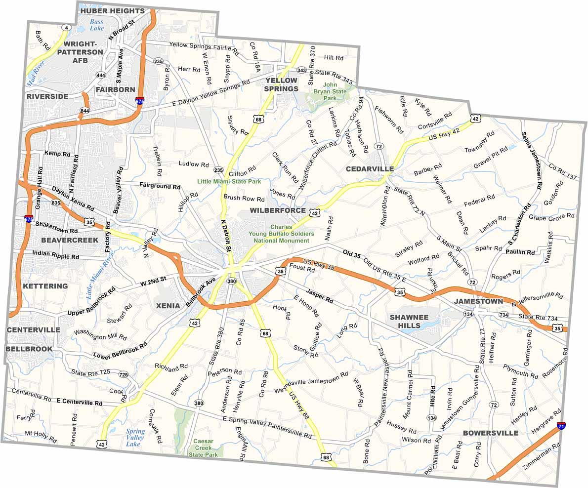
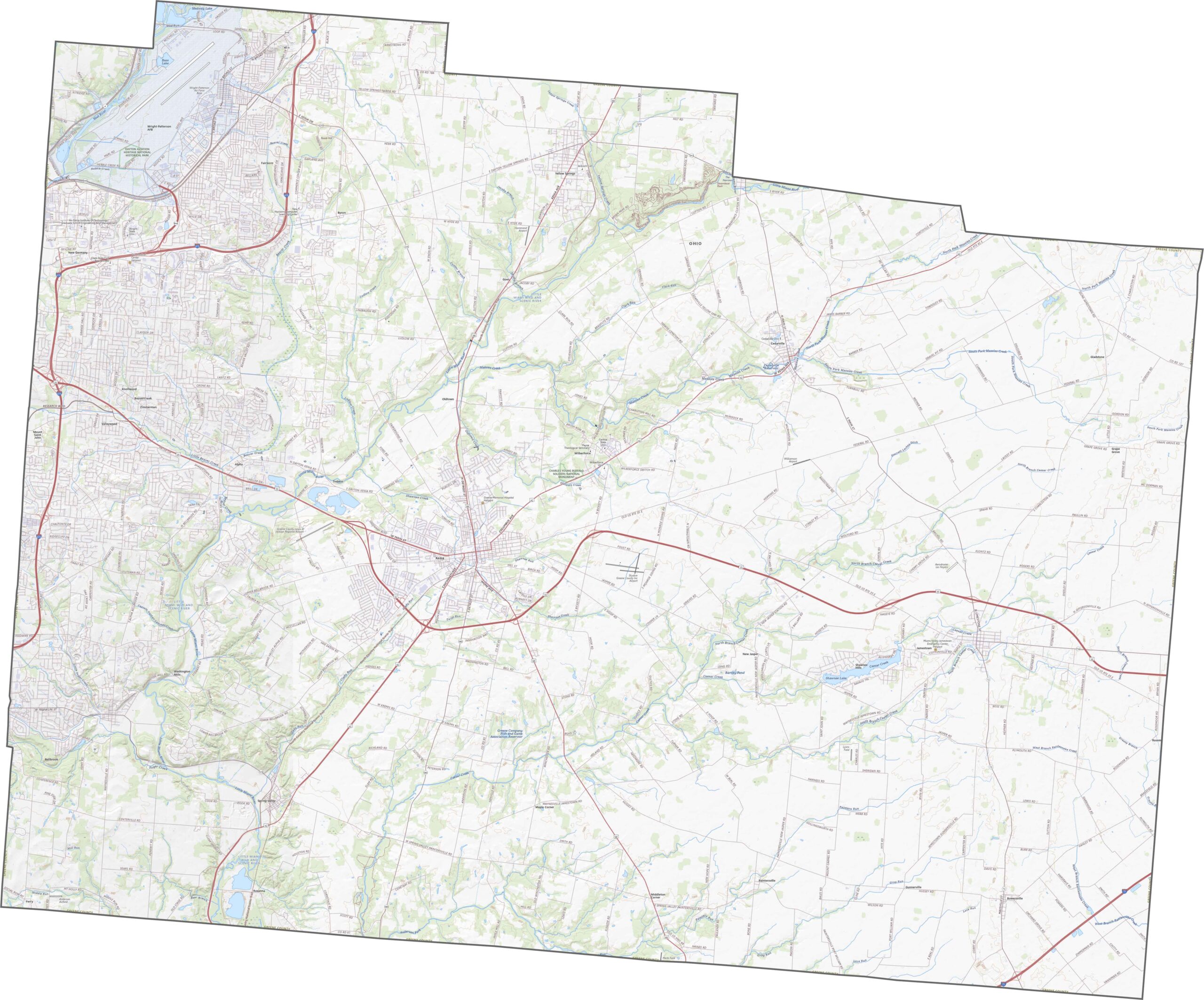
Interstate 675 passes through the northwest corner of Greene County. U.S. Route 35 runs through Xenia, while State Routes 68 and 42 connect the smaller communities. Although there is no major loop road, the network handles traffic efficiently.
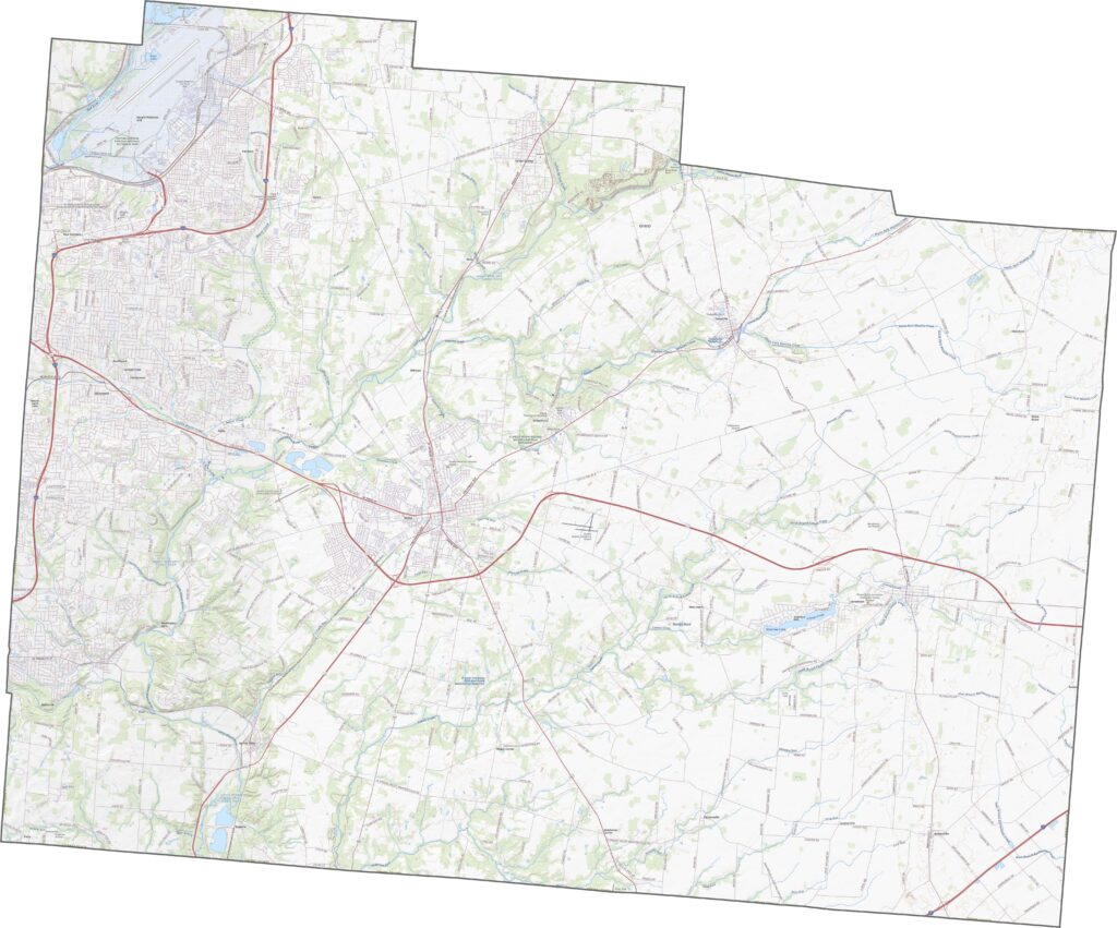
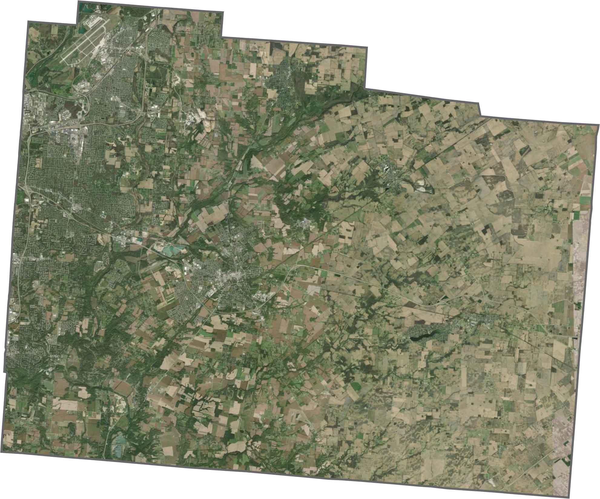
Beavercreek stands out as a large suburban area on the western side of the county. Beyond it, the landscape is mostly open, with fields, pastures, and wooded areas. The Little Miami River winds through the county, with trees lining much of its banks.
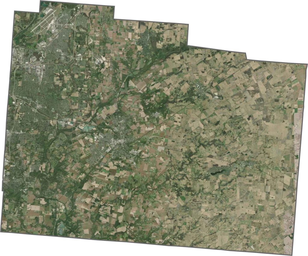
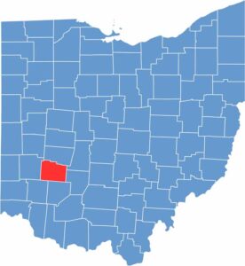
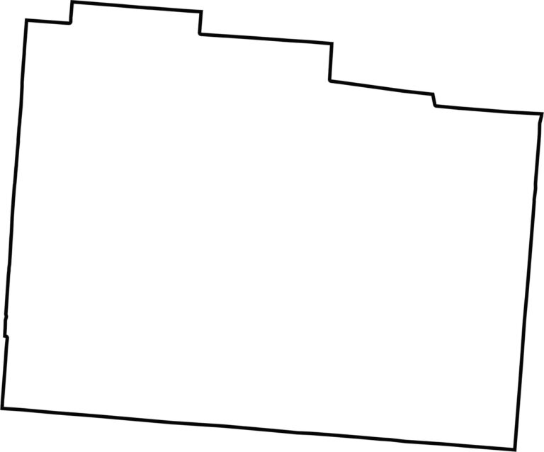
Greene County has a mostly boxy outline, with a southern boundary that runs nearly straight. Located in southwestern Ohio, the county has a clean shape without major natural curves along its borders.








Forget the coast. Ohio’s 88 counties are where everyday America comes alive. No pretense, no postcard perfection—just hardworking towns and quiet backroads that grow on you. This is the Midwest without the filter.