
The heart of the Pee Dee region beats in Florence County, where sweet tea flows like water and southern hospitality is a way of life. The county is anchored by its namesake city of Florence.
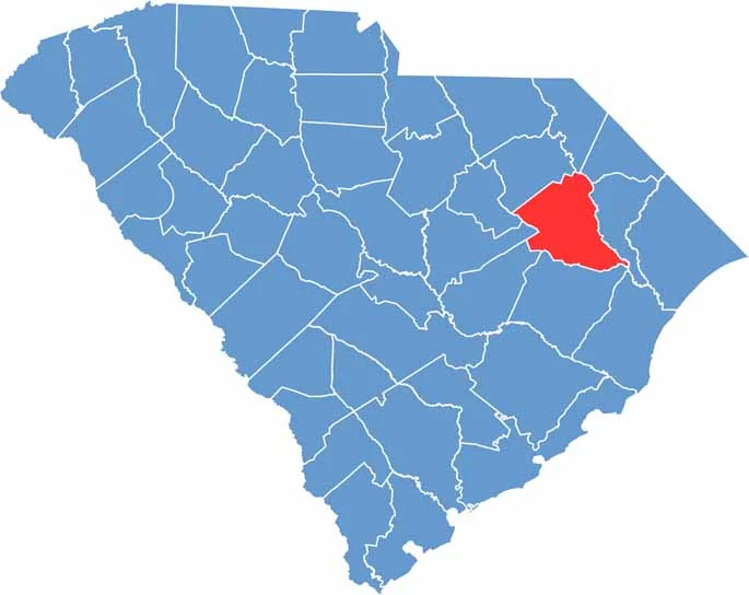
Located in the northeastern part of South Carolina, the county has a rich agricultural heritage. Tobacco was once king here, but now healthcare and manufacturing drive the economy.
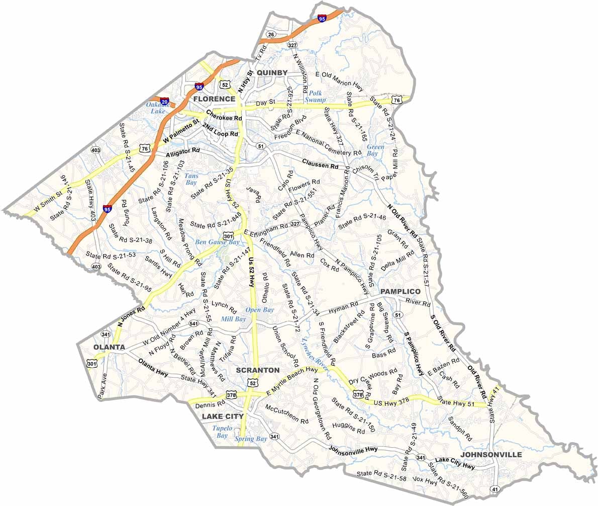
The county seat, Florence, is a hub for the region, with a little bit of everything, including shopping, dining, and culture. Lake City, another town in the county, hosts the famous ArtFields festival each spring. People also love the scenic beauty of Lynches River County Park.
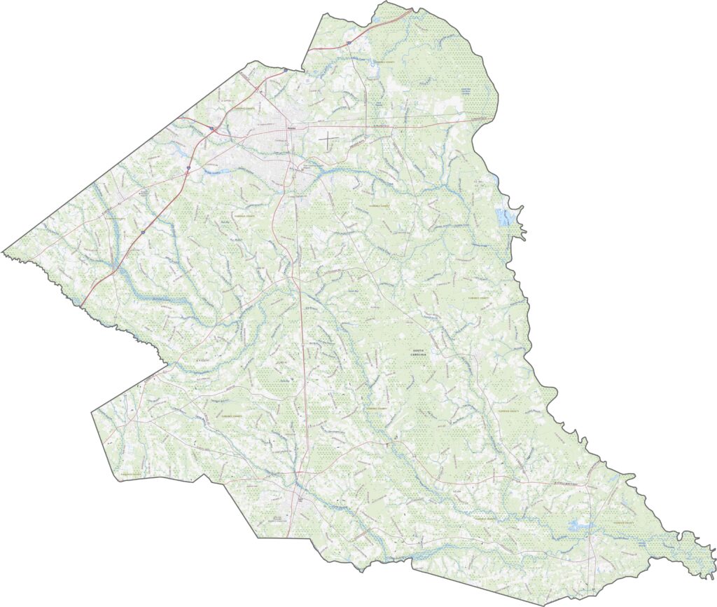
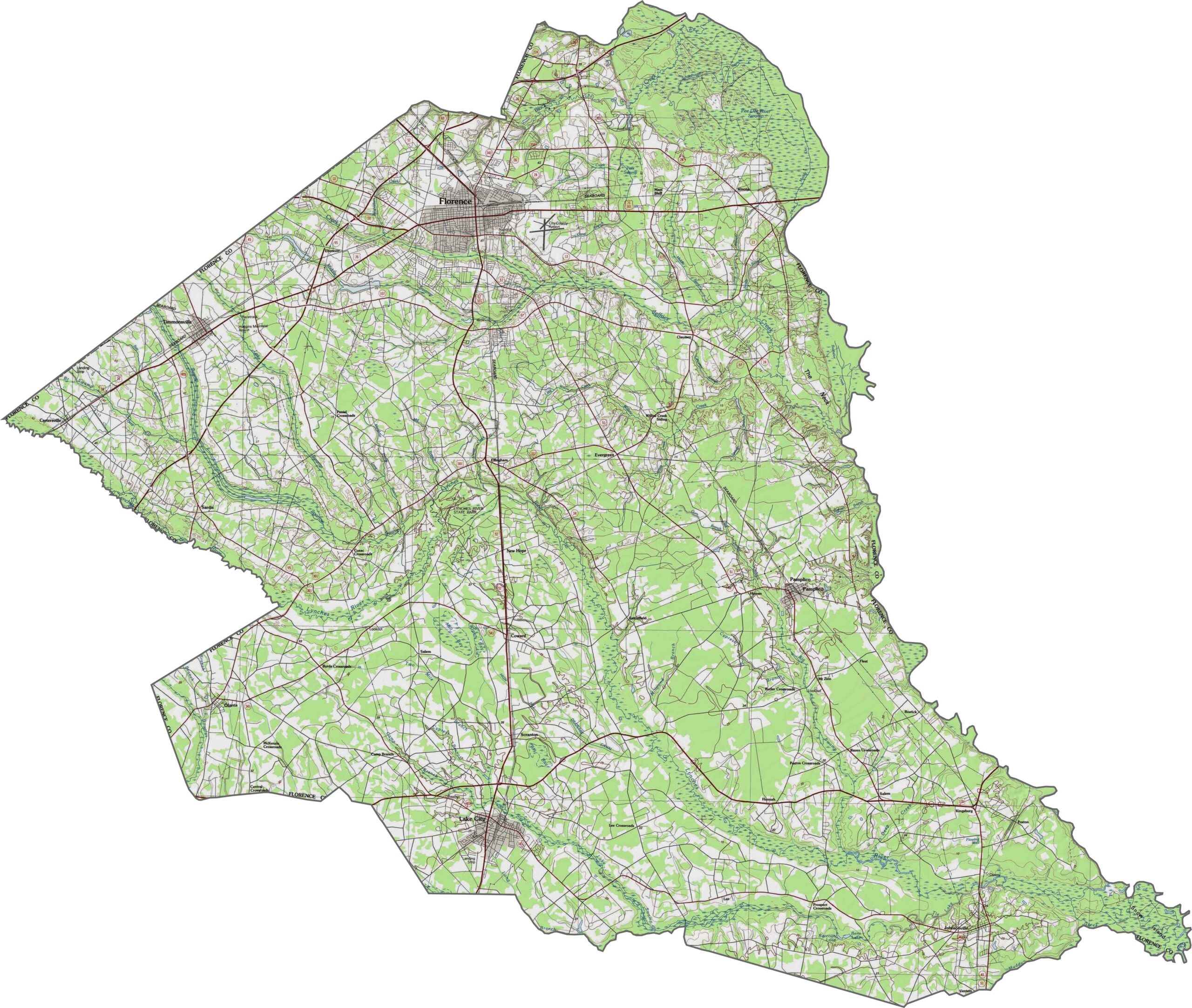
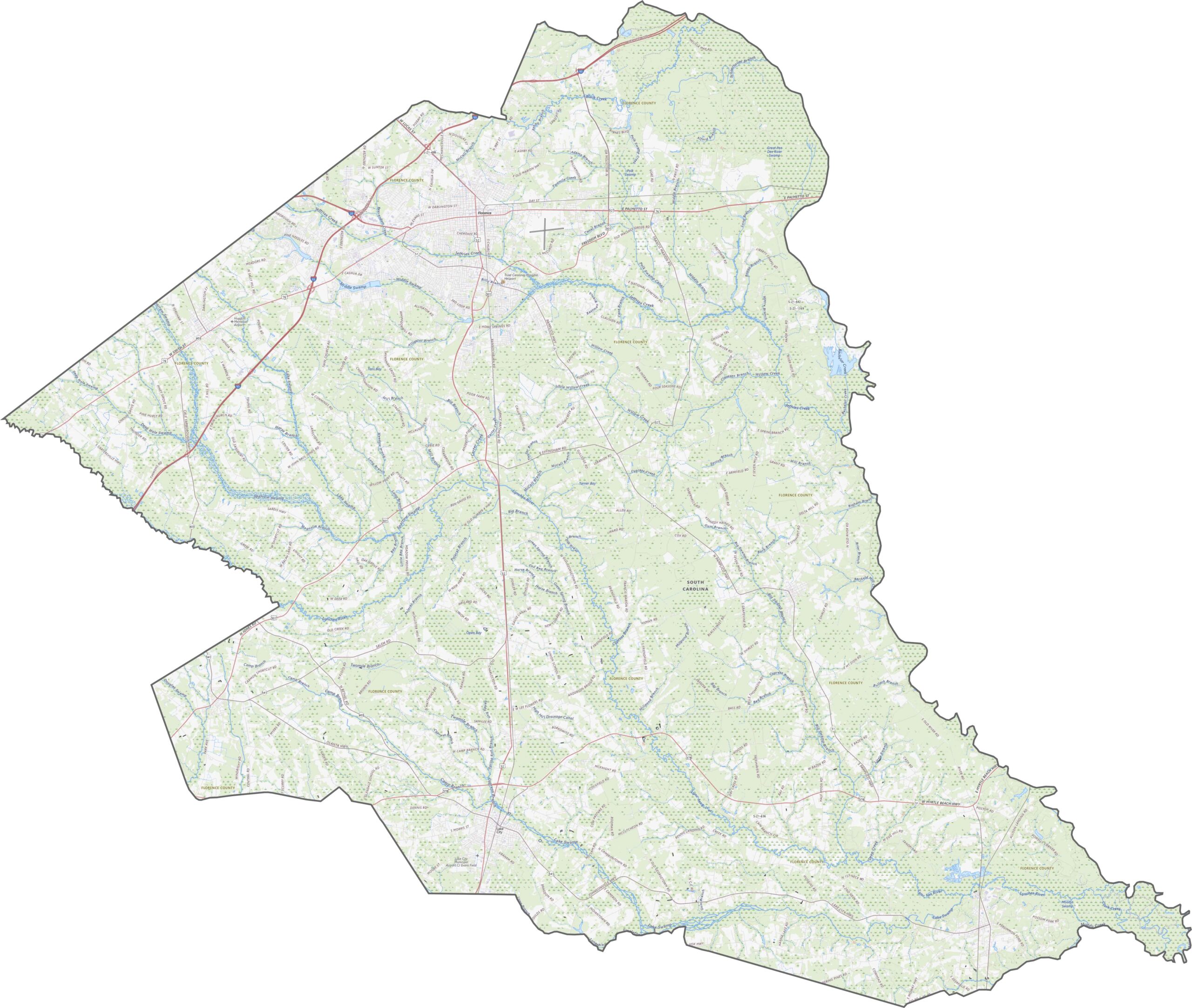
Florence County is part of the Coastal Plain of South Carolina. It is flat, low, and easy-going. You will spot some gentle swells and broad drainage areas, but elevation changes are subtle. The terrain varies more by soil than by slope. Use our zoom tool to view all of the county's elevation changes.
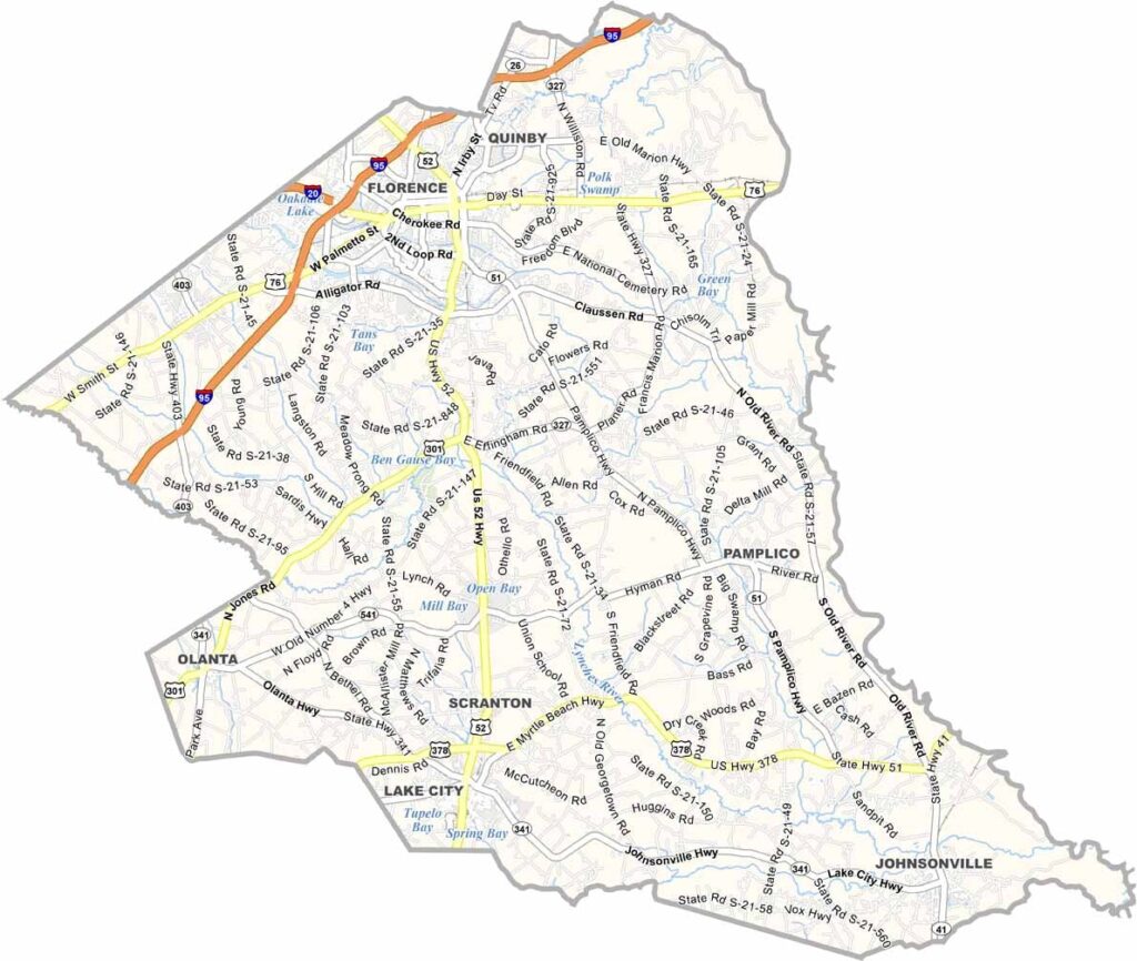
Florence County is a true crossroads. Several major routes slice through it, including I-95 and I-20. Roads fan out from Florence itself, though a few rural pockets still feel slightly off the beaten path.
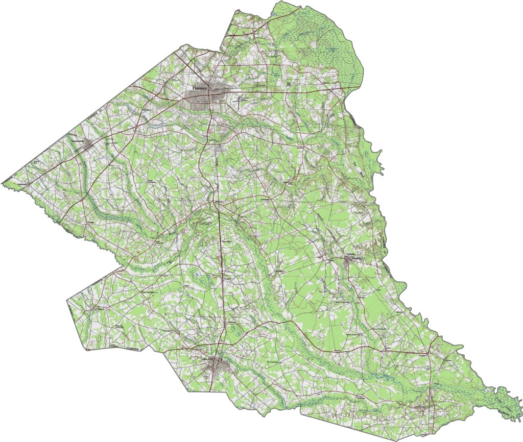
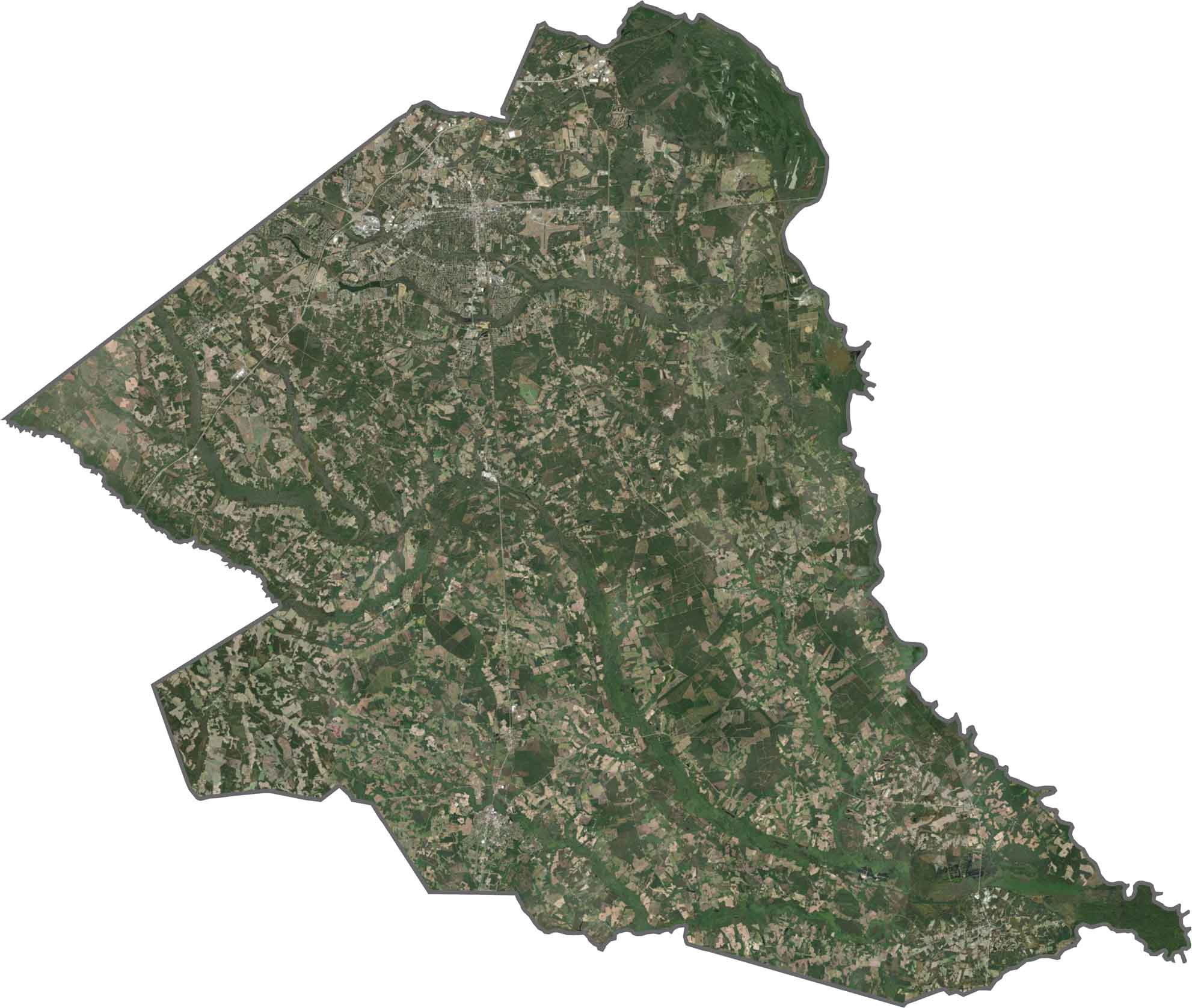
From above, farmland dominates the picture. Neatly divided fields stretch in all directions. The city of Florence shows up as a dense patch in the north, while wooded areas scatter around the outskirts.
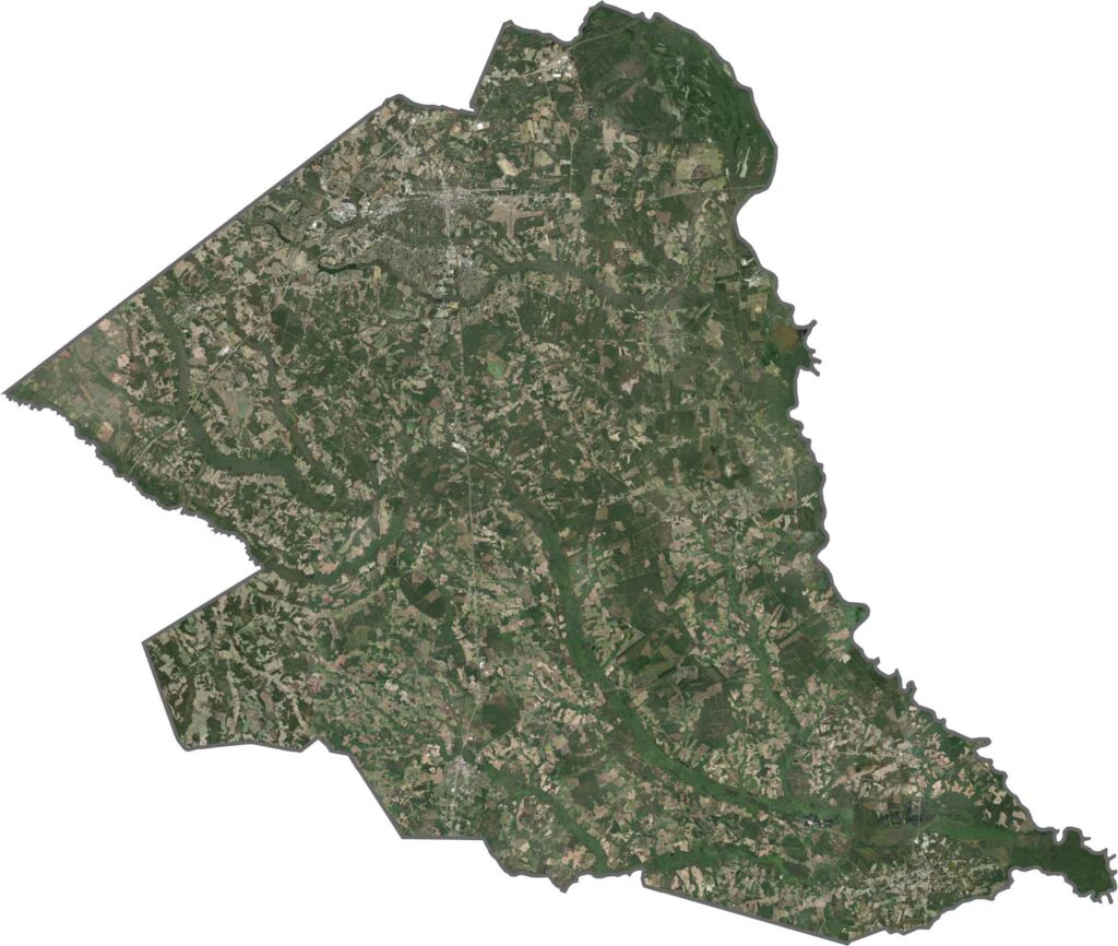
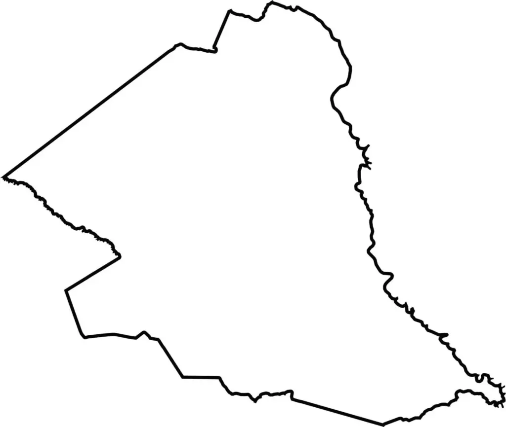
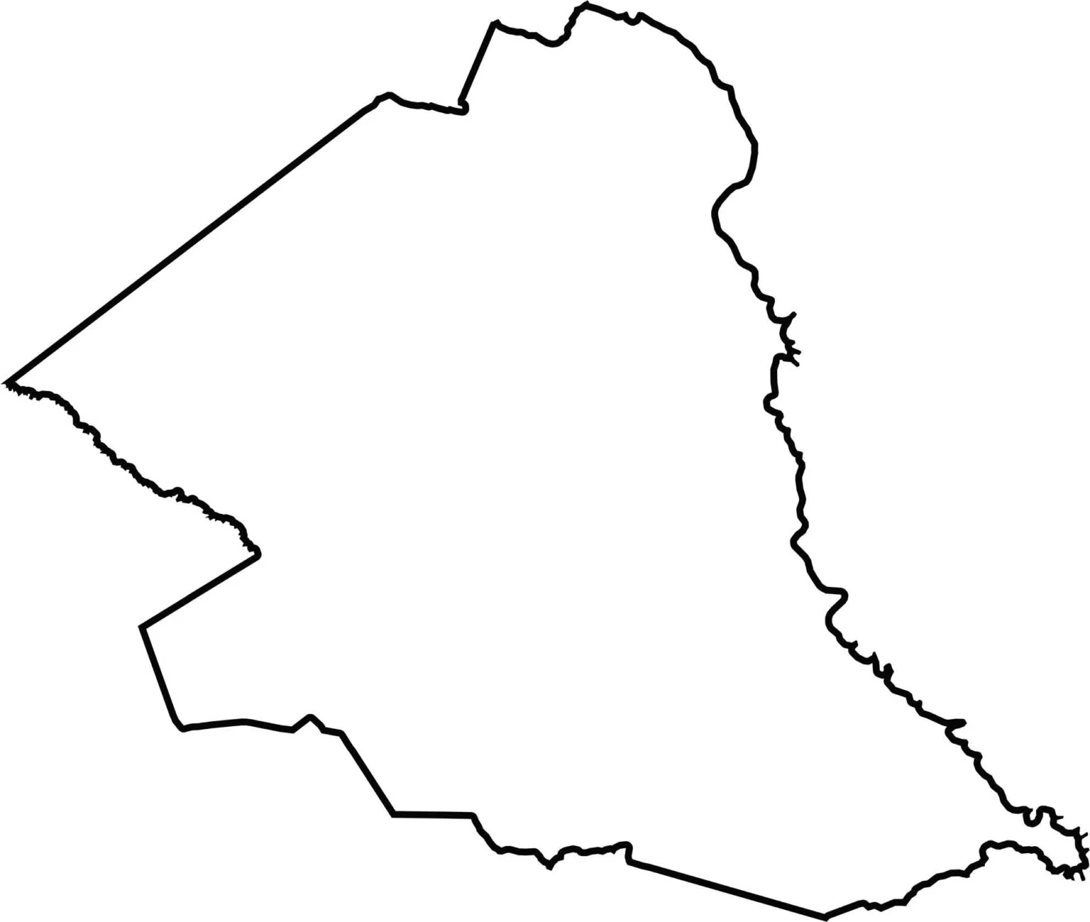
The county is tidy and somewhat triangular, though a few edges tilt off square. The Great Pee Dee River forms the eastern boundary, while part of the Lynches River forms part of the northwestern boundary.






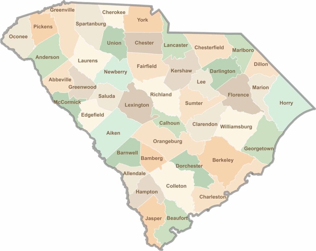
South Carolina’s 46 counties each have their own personality. Some are all about beach vibes, while others are steeped in history. You’ll find gators, grits, and gospel here—sometimes all in the very same afternoon.