
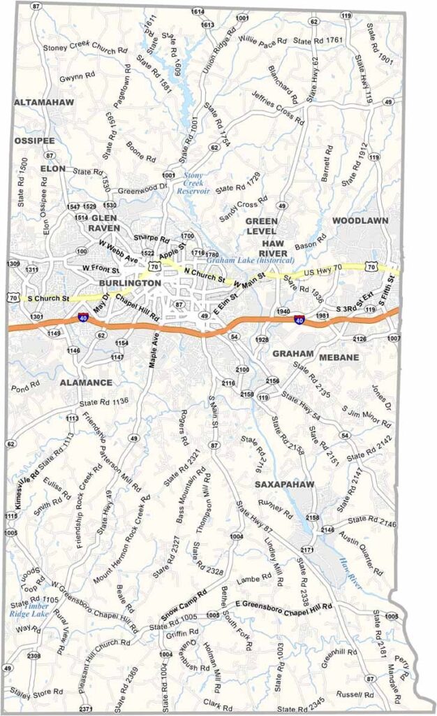
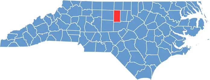
Alamance County sits in the heart of North Carolina’s Piedmont region, a place where history and progress meet. The Haw River cuts through the county, shaping its landscape and economy.
Burlington, the largest city, buzzes with activity, but Graham is the county seat. Textile mills once dominated here, and now the county embraces diverse industries.
Elon University adds a youthful energy to the area. Locals love exploring the trails and camping at Cedarock Park. The county’s name comes from the Native American word “allamanca,” meaning “blue clay.”
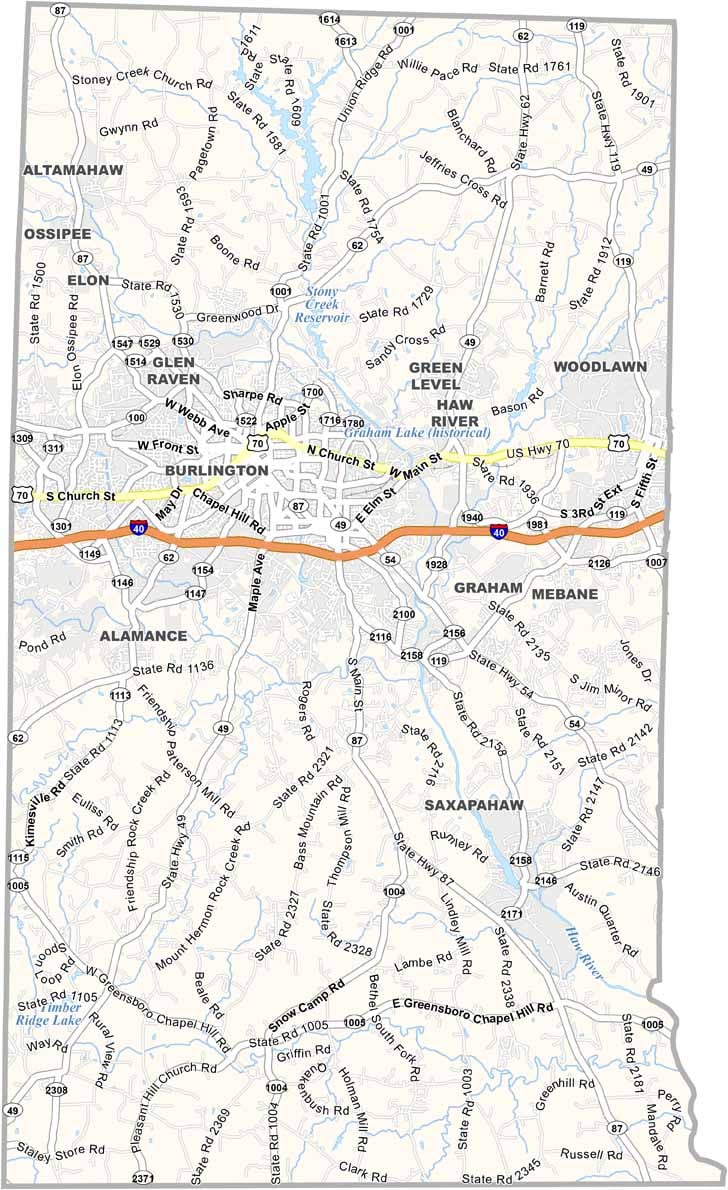
Alamance County has a strong highway network. Interstate 40 and U.S. Route 70 both run right through it. Though they go in the same east-west direction, each connects to different cities. You can zoom in on each road using our road map’s interactive tool.
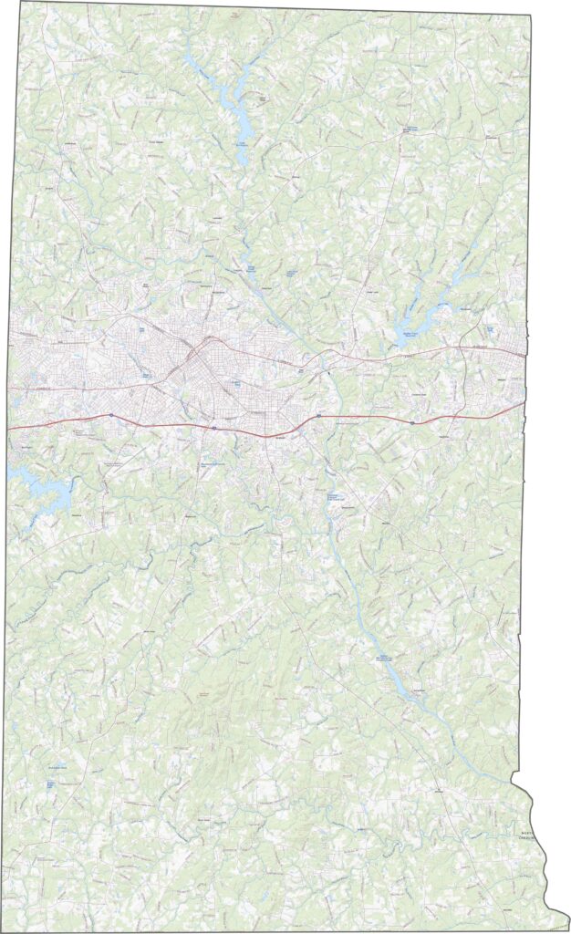
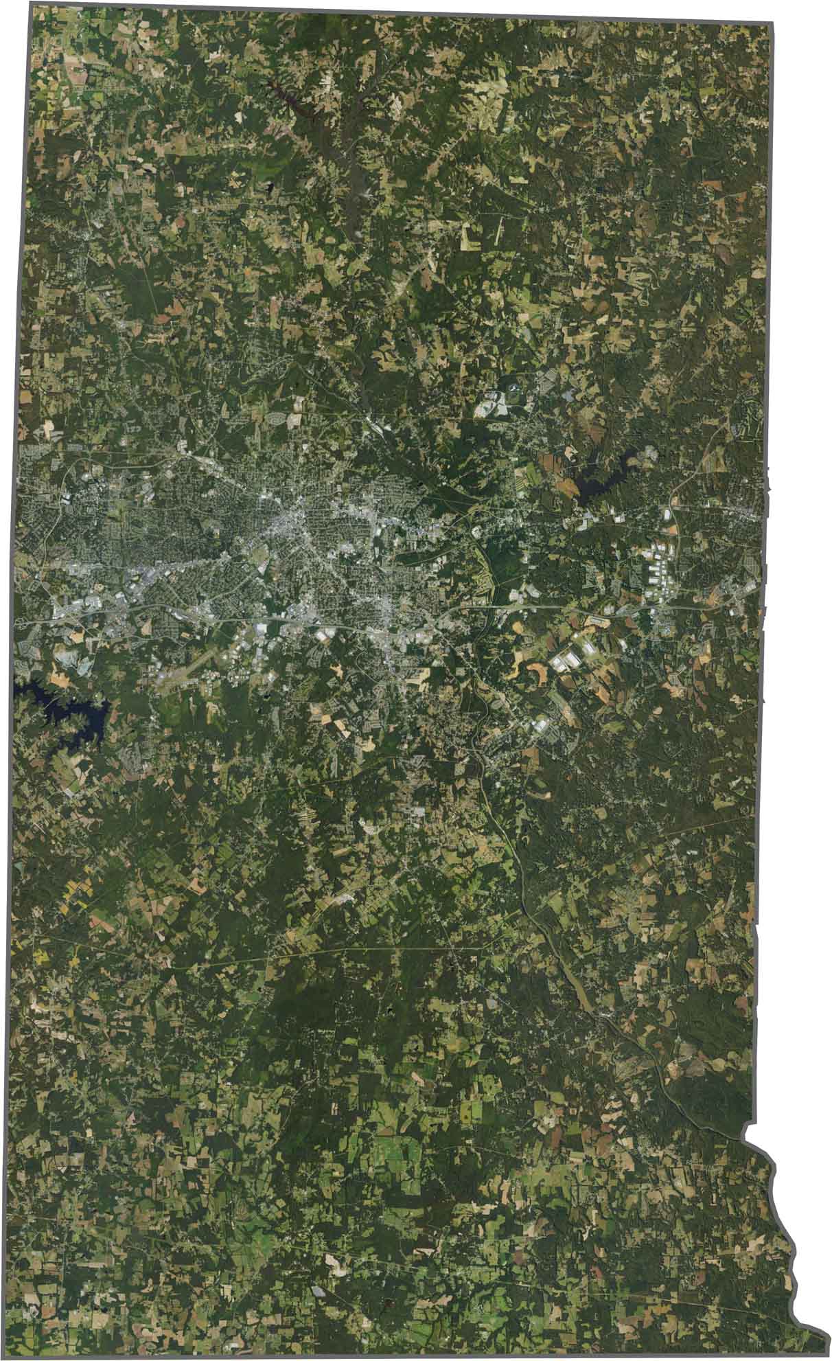
Fields and neighborhoods alternate across the map, but Burlington forms a bright urban center near the middle. Water bodies are small but scattered, though the Haw River does wind visibly from north to south.
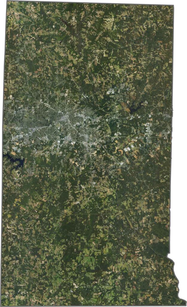
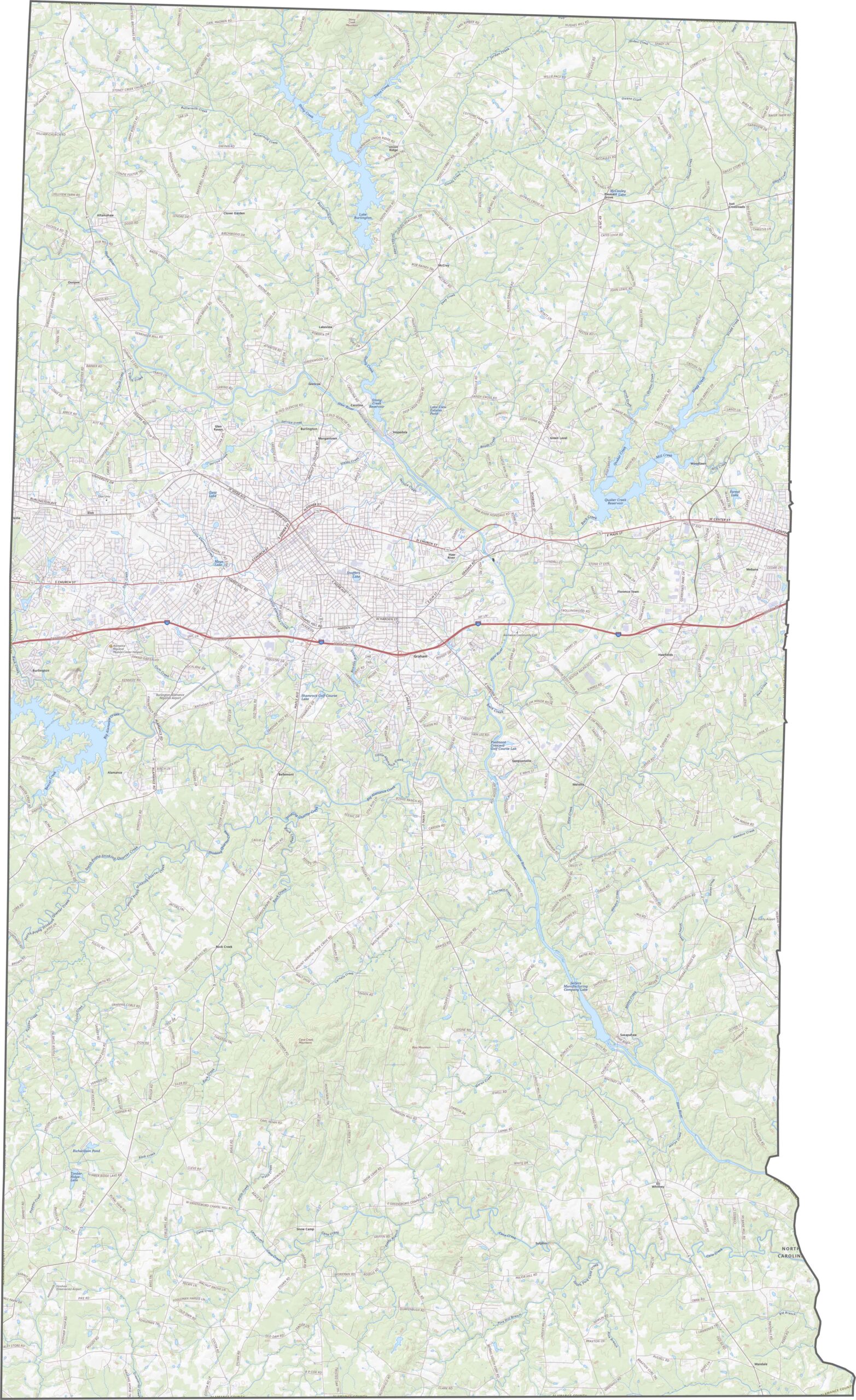
The county is shaped like a lopsided rectangle, with a few notches and angles. Though the Haw River defines part of its eastern edge, most borders are political lines. It touches six other counties but doesn’t meet another state.









North Carolina’s 100 counties each have their own personality. Some embrace beach life, while others are known for barbecue or bluegrass. Sometimes, you’ll find all three in one place. Across the state, there are waterfalls, farmland, and NASCAR.