
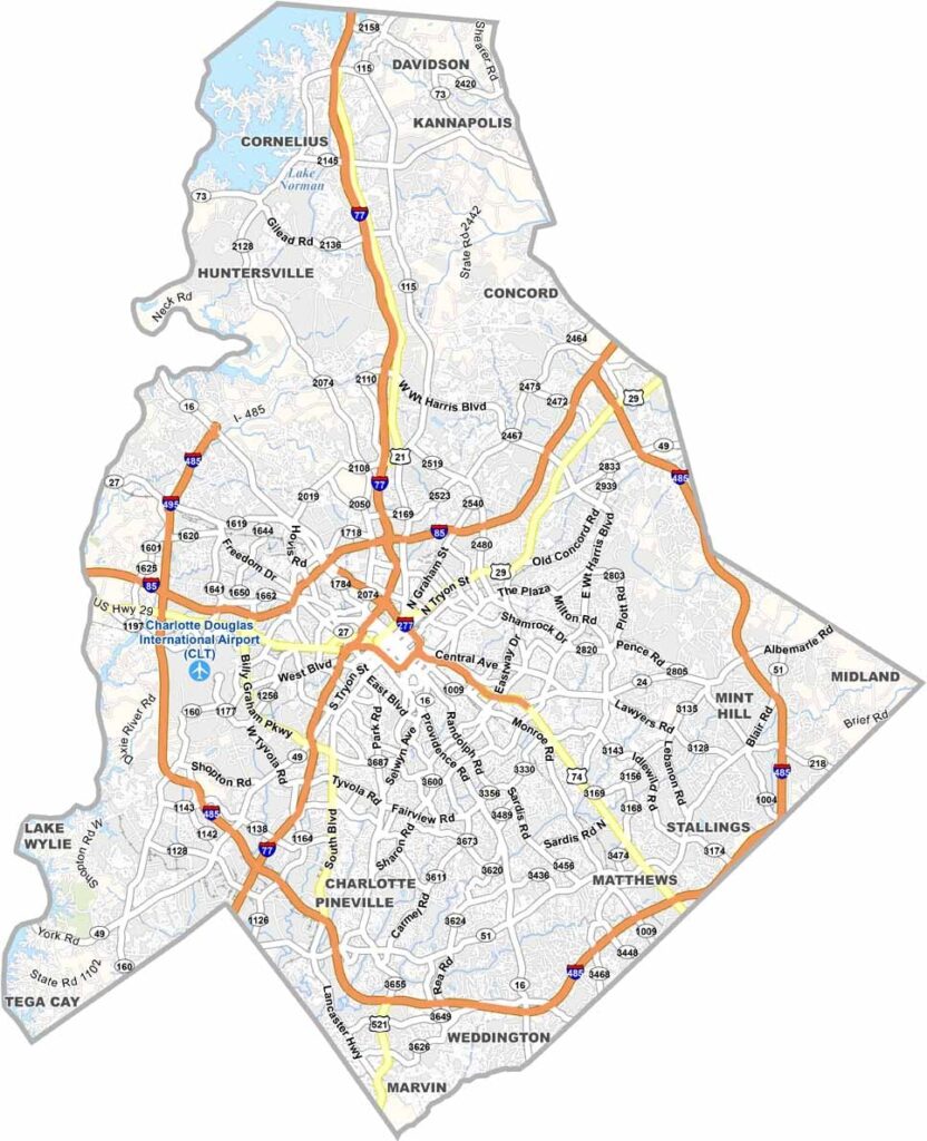
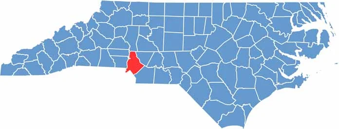
Mecklenburg County is right in the heart of the Charlotte metro area. It's the most populous county in North Carolina. Charlotte, the largest city, is a major banking center. But Mecklenburg County is more than just big business.
It's home to world-class museums and theaters. For example, you can learn about its past at sites like the Charlotte Museum of History. The U.S. National Whitewater Center offers outdoor adventure right in the city.
The county is known for its excellent restaurants and breweries. Mecklenburg County has a rich history, too. NASCAR has deep roots here, including the NASCAR Hall of Fame in Charlotte. Lake Norman is partly in Mecklenburg County. This county feels like it's always growing.
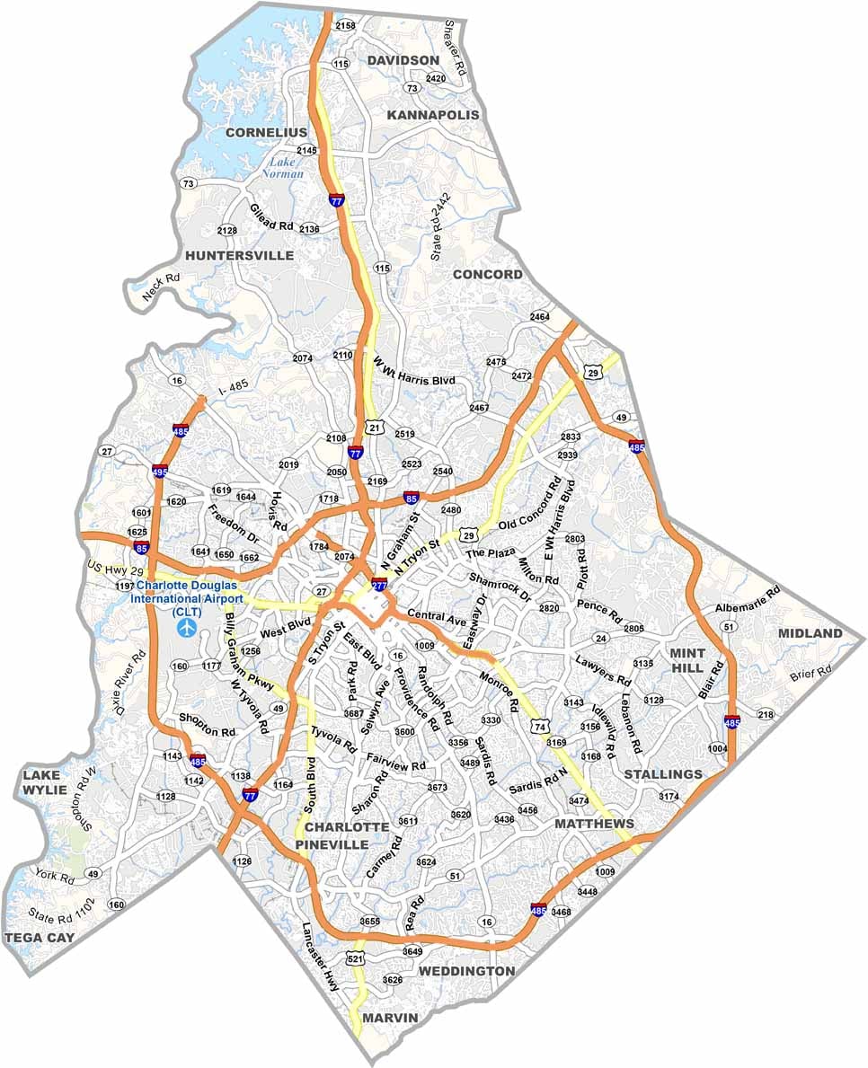
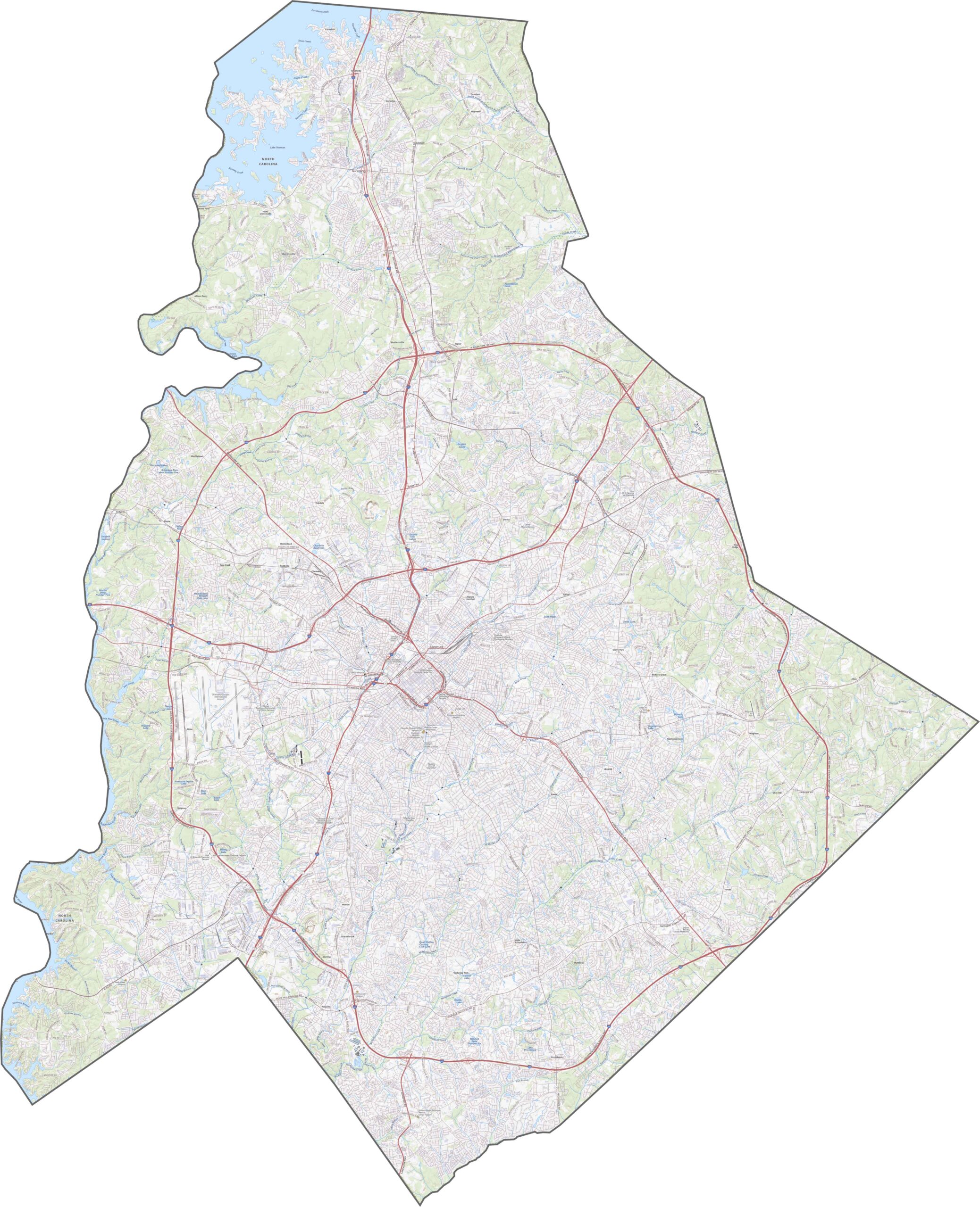
The highway system here is one of the busiest in the state. Interstate 77 runs north-south, slicing right through Charlotte. Interstate 85 cuts across the top half, and Interstate 485 loops around like a belt. It's sometimes a very crowded belt. Though traffic is constant, the grid is well connected.
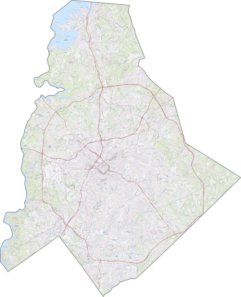
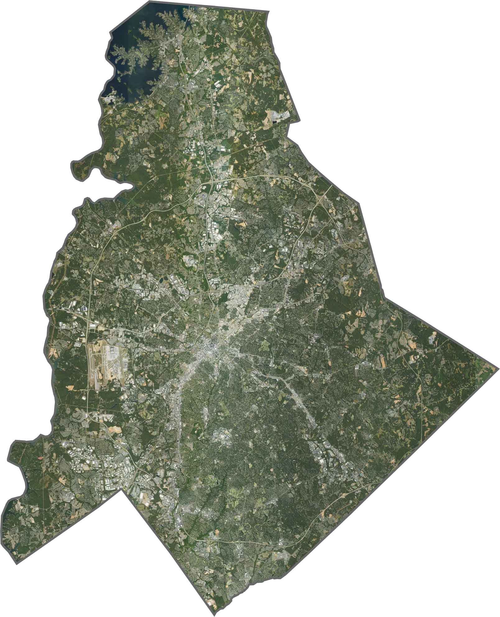
Charlotte lights up the map with dense, bright, urban areas. Roads connect each neighborhood. But when you look closer, tree cover is surprisingly strong in the suburbs, and even major neighborhoods are covered with green.
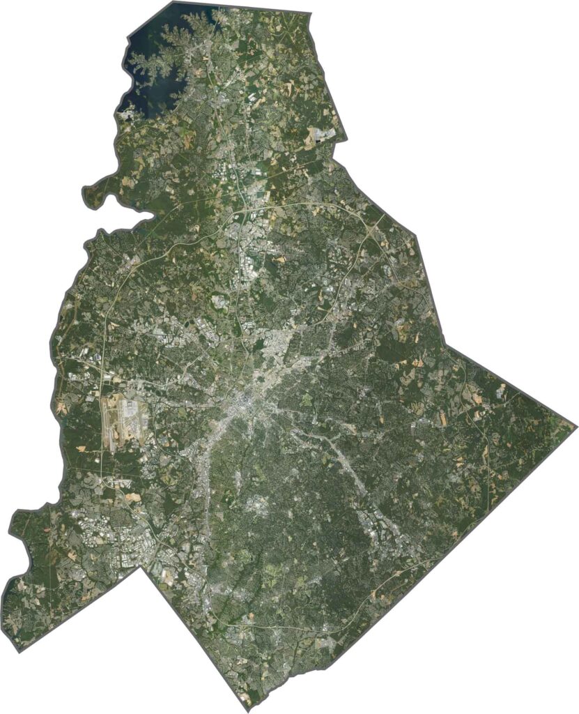
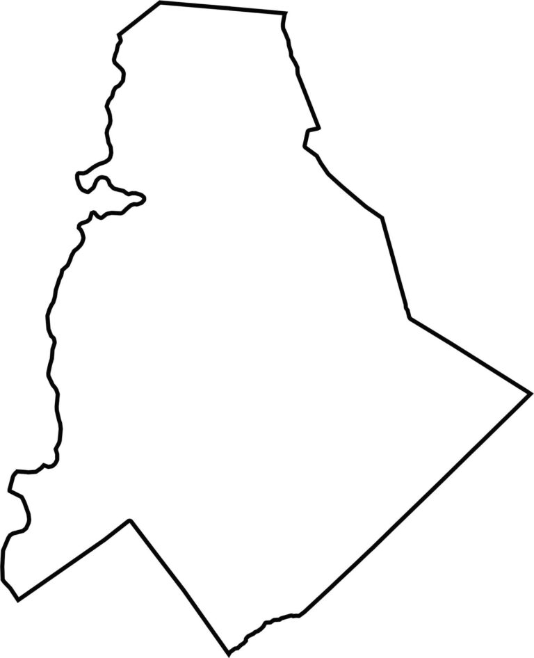
Mecklenburg County is thick at the bottom and thinner on top. The Catawba River forms the western boundary. It borders seven counties and feels like a hub. The county's footprint may be compact, but it carries weight.








North Carolina’s 100 counties each have their own personality. Some embrace beach life, while others are known for barbecue or bluegrass. Sometimes, you’ll find all three in one place. Across the state, there are waterfalls, farmland, and NASCAR.