
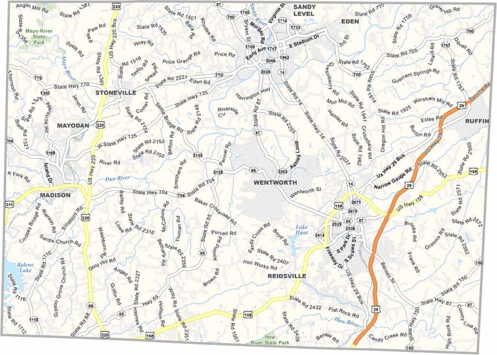
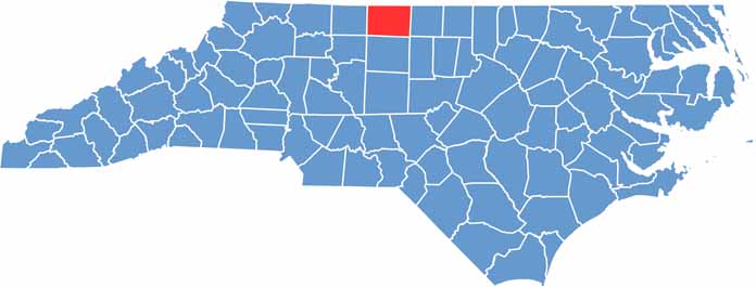
Rivers, lakes, and rolling hills define the landscape of Rockingham County. It's located in north-central North Carolina, along the Virginia border.
Wentworth serves as the county seat, but Eden is the largest city. The area has a rich history in textiles and tobacco, and today it's transitioning to new industries. Outdoor recreation is a big draw, and the Dan River and Mayo River offer excellent paddling and fishing.
Rockingham County is known for its friendly people. Small towns like Reidsville charm visitors with their historic downtowns. Despite changes, local farms still play a vital role in the area's economy.
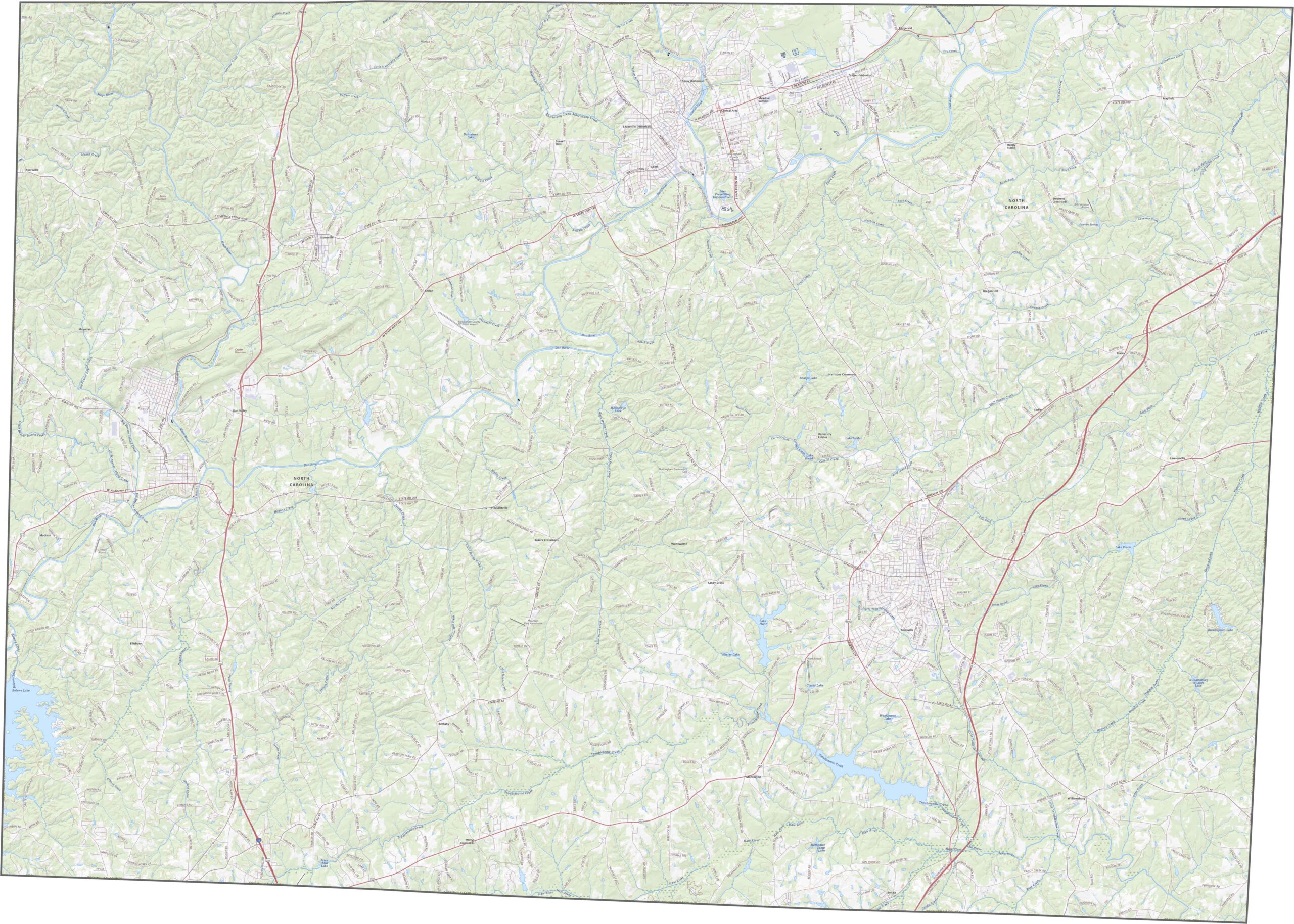
Rockingham County sits in the north-central part of the state, and its roads reflect that crossroads feel. Though there are no interstates here, the highways flow well. For more detail, zoom in and explore our road map below.
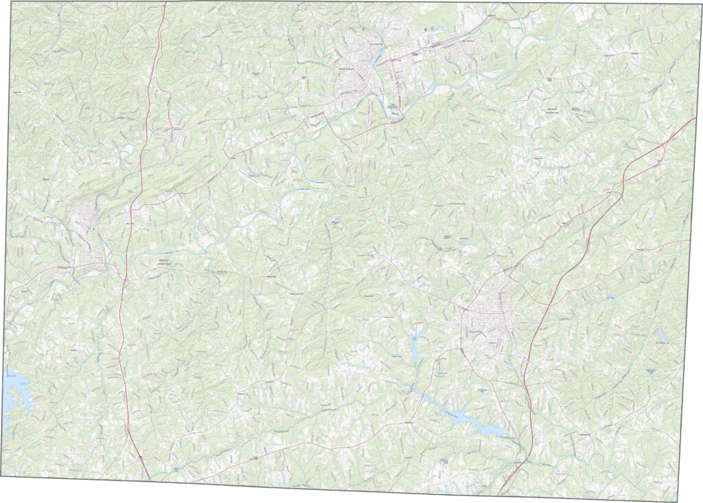
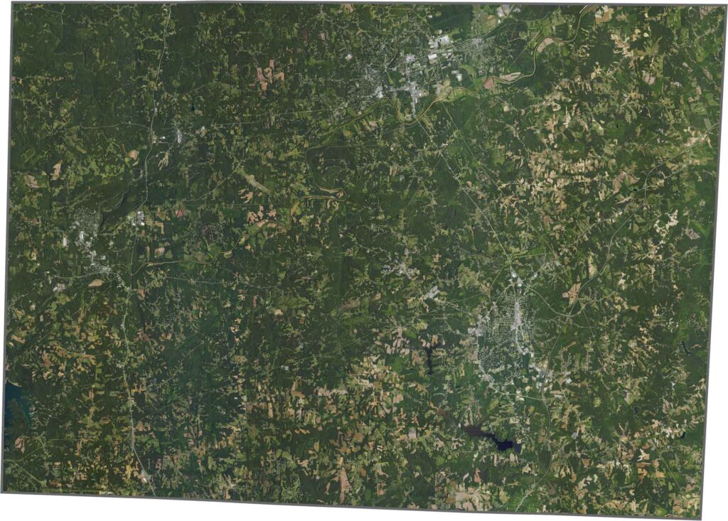
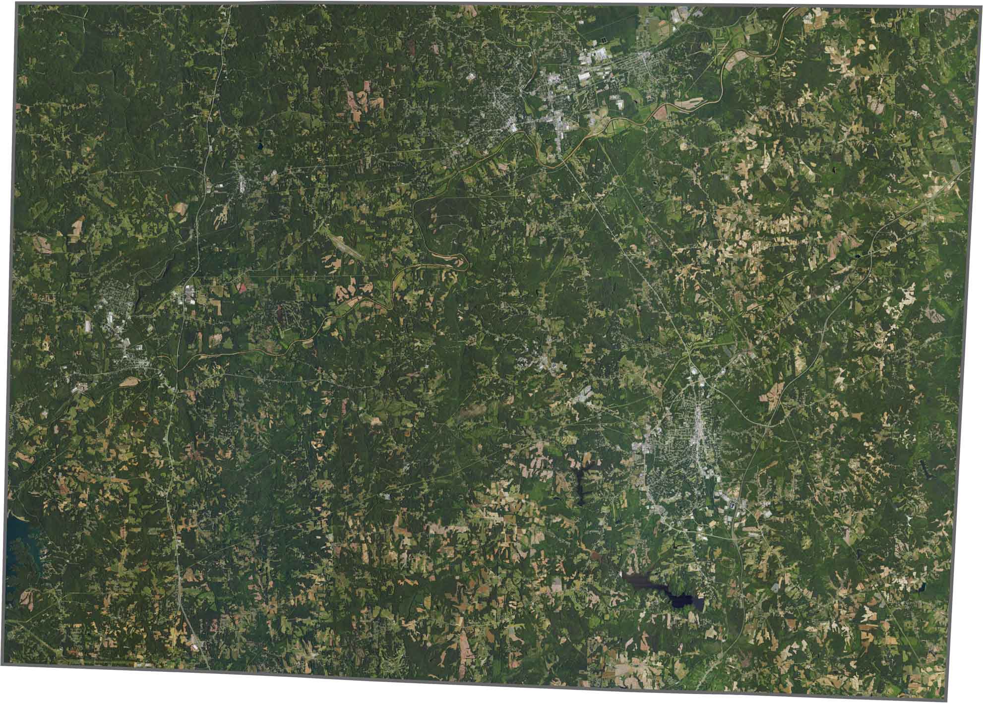
Farmland and forest compete for space here. Reidsville appears as a light patch among darker greens. The Dan River is a standout, curved, wide, and muddy in places. Open fields fill in the flatter eastern parts.
The county has an uneven shape, wider at the top and more jagged at the edges. It borders Virginia along its top edge, one of several North Carolina counties that do.









North Carolina’s 100 counties each have their own personality. Some embrace beach life, while others are known for barbecue or bluegrass. Sometimes, you’ll find all three in one place. Across the state, there are waterfalls, farmland, and NASCAR.