
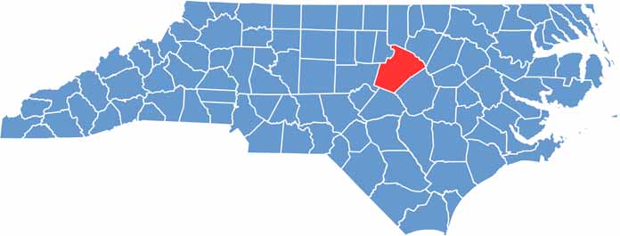
The heart of the Research Triangle beats in Wake County, located in the middle of North Carolina. Raleigh, the state capital, anchors this region.
Tech companies and universities drive the economy. But it's not all work here. William B. Umstead State Park offers a green escape, and the food scene is on fire. From food trucks to fine dining, you'll find it all.
Sports fans cheer on the NHL's Carolina Hurricanes here, and museums and theaters keep culture alive. Wake County never stops growing. It's a magnet for newcomers seeking opportunity.
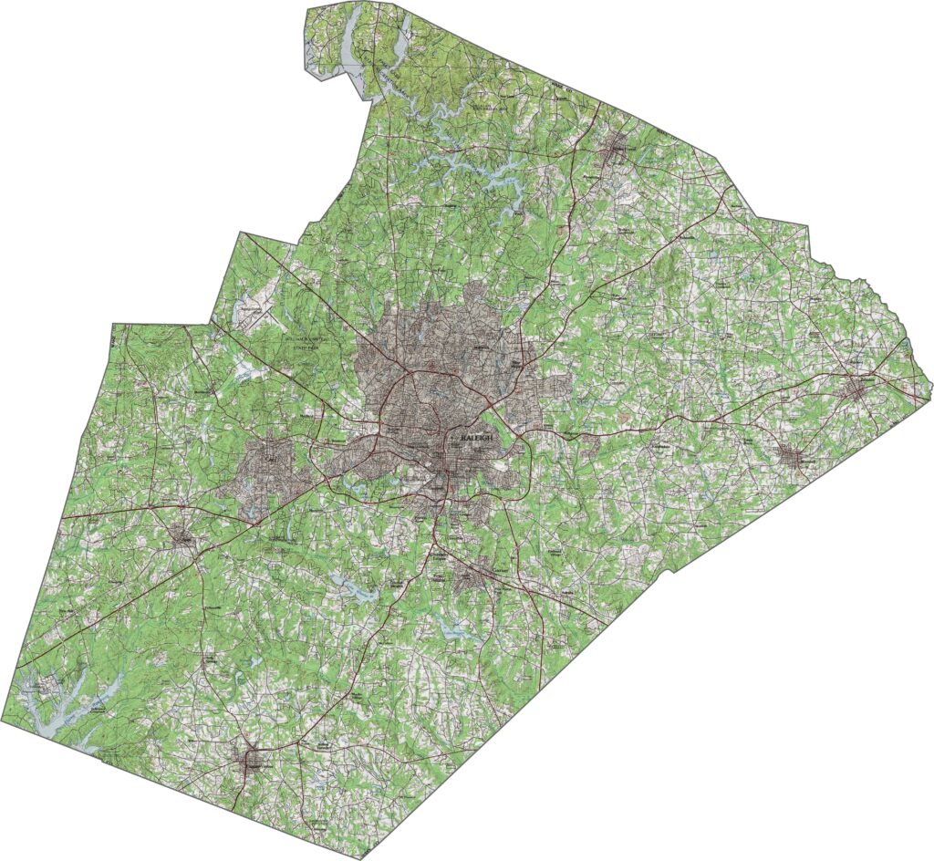
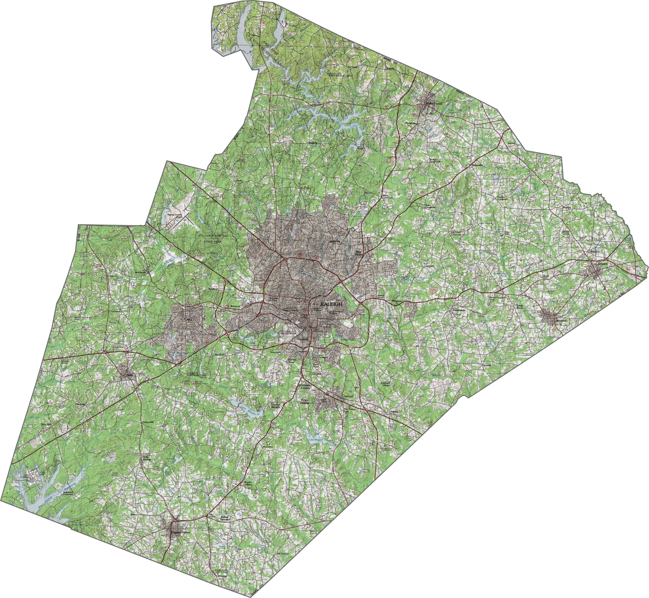
Wake County lies in the heart of the Piedmont, where the land gently ripples. It's not flat, but the hills don't shout either. Creeks cut quiet paths through neighborhoods and greenways. It's a mix of slopes, streams, and steady elevation.
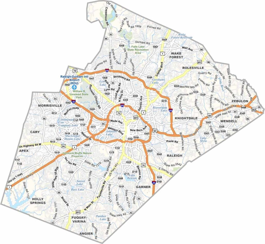
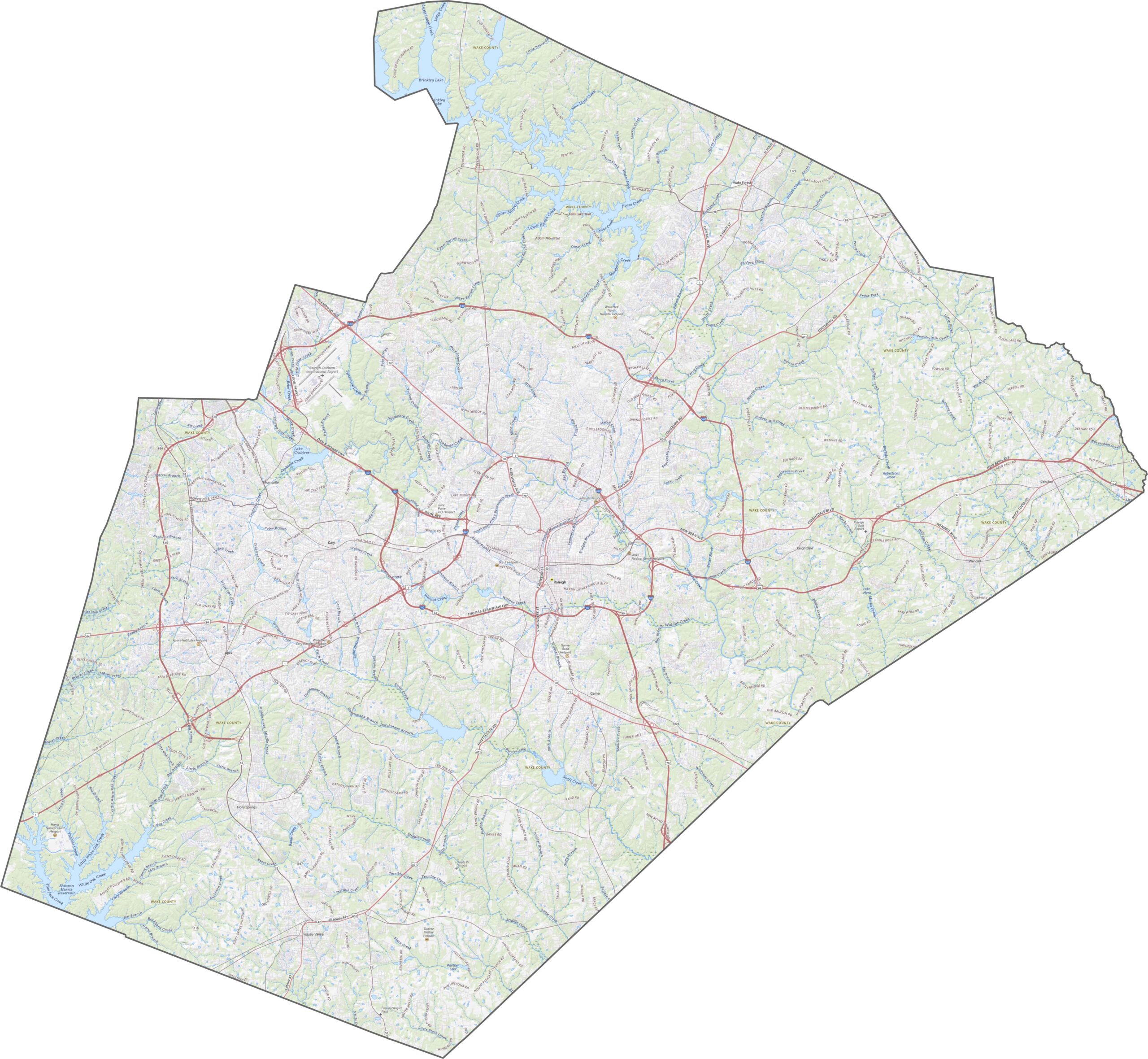
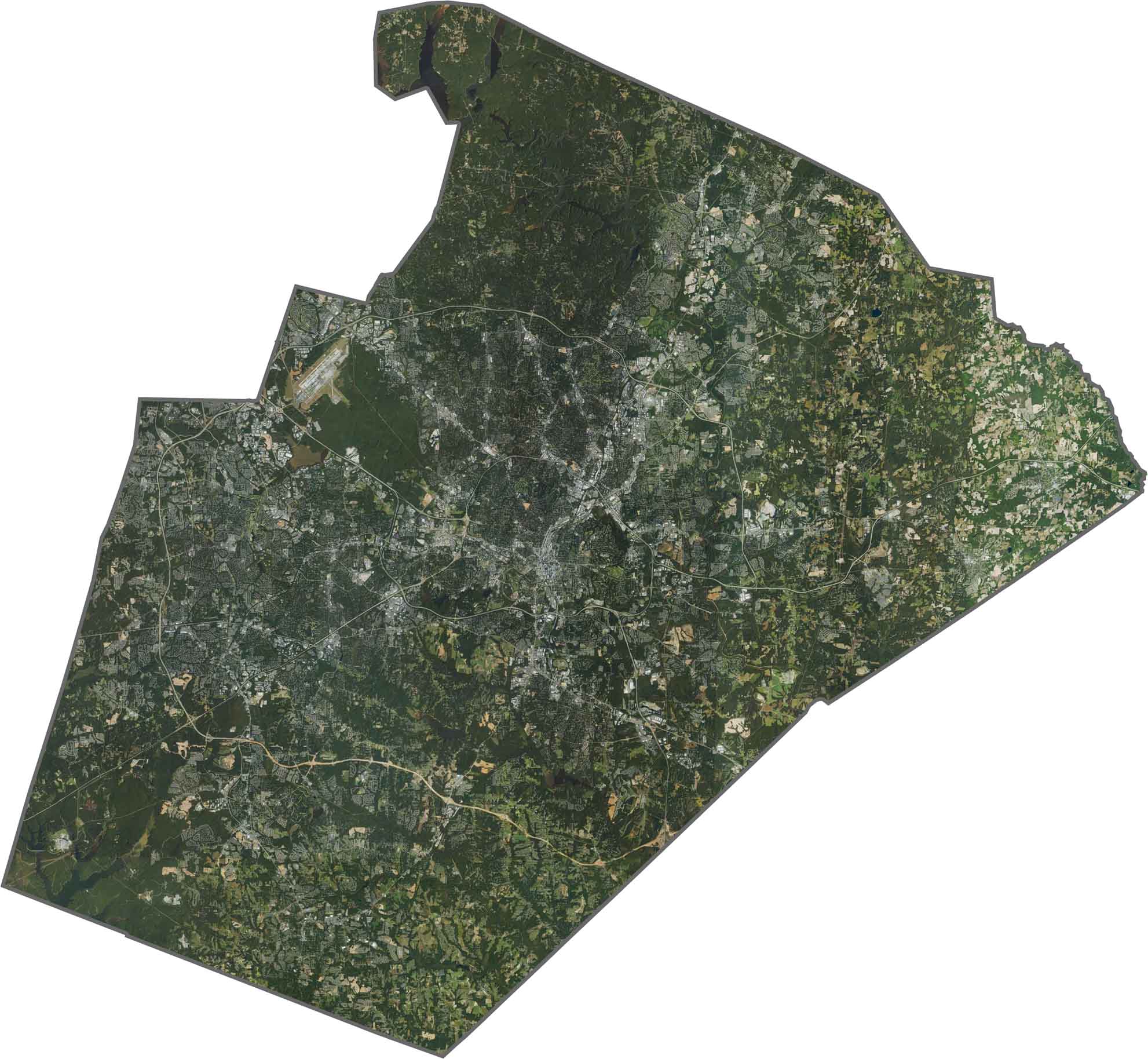
As the home of Raleigh, Wake County is a highway hub. Interstate 40 and Interstate 440 loop and scoot around the capital, while U.S. Route 1 and U.S. Route 64 stretch out, pulling traffic in and out. Though it's busy, the network is wide and efficient. Zoom in to explore the ramps, loops, and bypasses that keep the city moving.
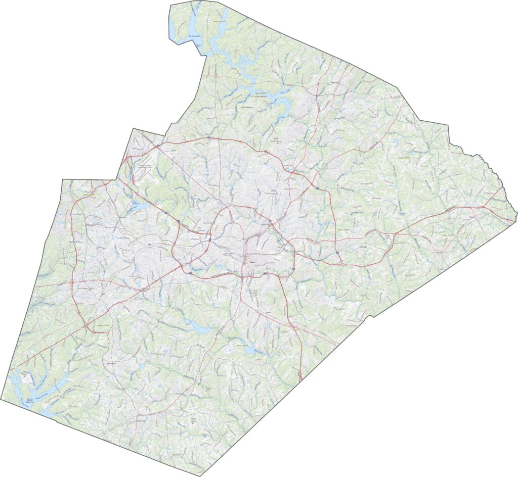
Raleigh dominates the middle. It's dense, bright, and sprawling. Pockets of green still hold on, especially in parks and protected watersheds. Lake Benson is hard to miss in the south.
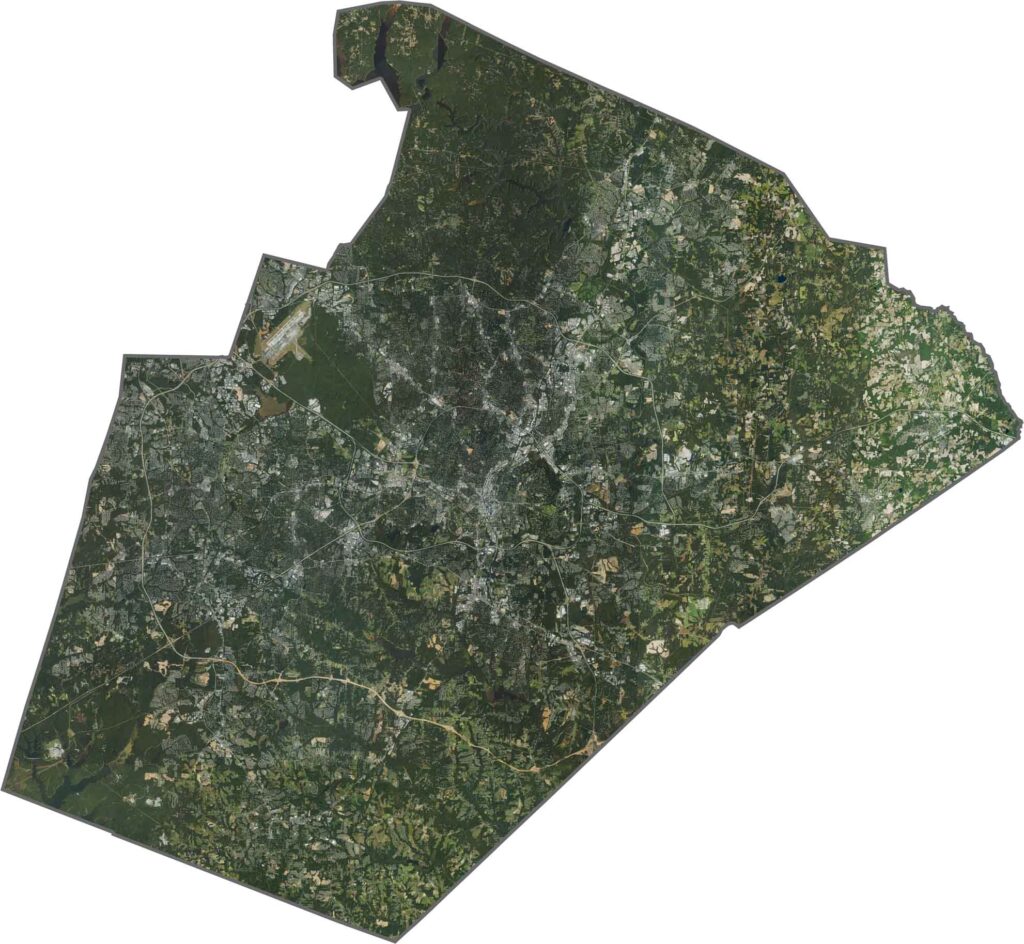
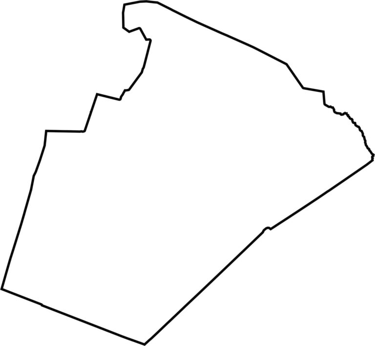
Wake County looks like a blocky rectangle with a notch or two. There are no state borders, and most lines are clean and straight.









North Carolina’s 100 counties each have their own personality. Some embrace beach life, while others are known for barbecue or bluegrass. Sometimes, you’ll find all three in one place. Across the state, there are waterfalls, farmland, and NASCAR.