
Knox County is a big deal in East Tennessee. It's home to Knoxville, the largest city in the eastern part of the state, and people here love their sports, their music, and their mountains.
But it's not all city life. Head out of town and you'll find yourself in the foothills of the Great Smoky Mountains. The Tennessee River cuts right through the county, and the University of Tennessee is here too. Go Vols!
History runs deep here. Market Square in downtown Knoxville has been a gathering place since the 1860s, and the 1982 World's Fair left its mark as well, so look for the Sunsphere. It's a place with a lot of personality.
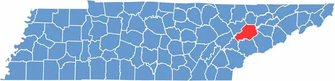
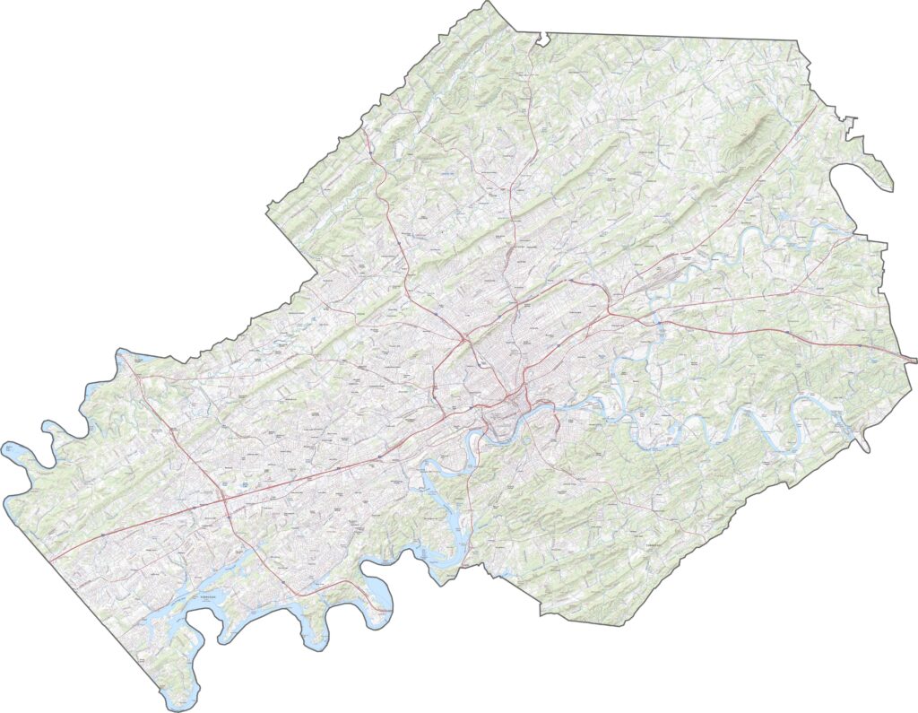
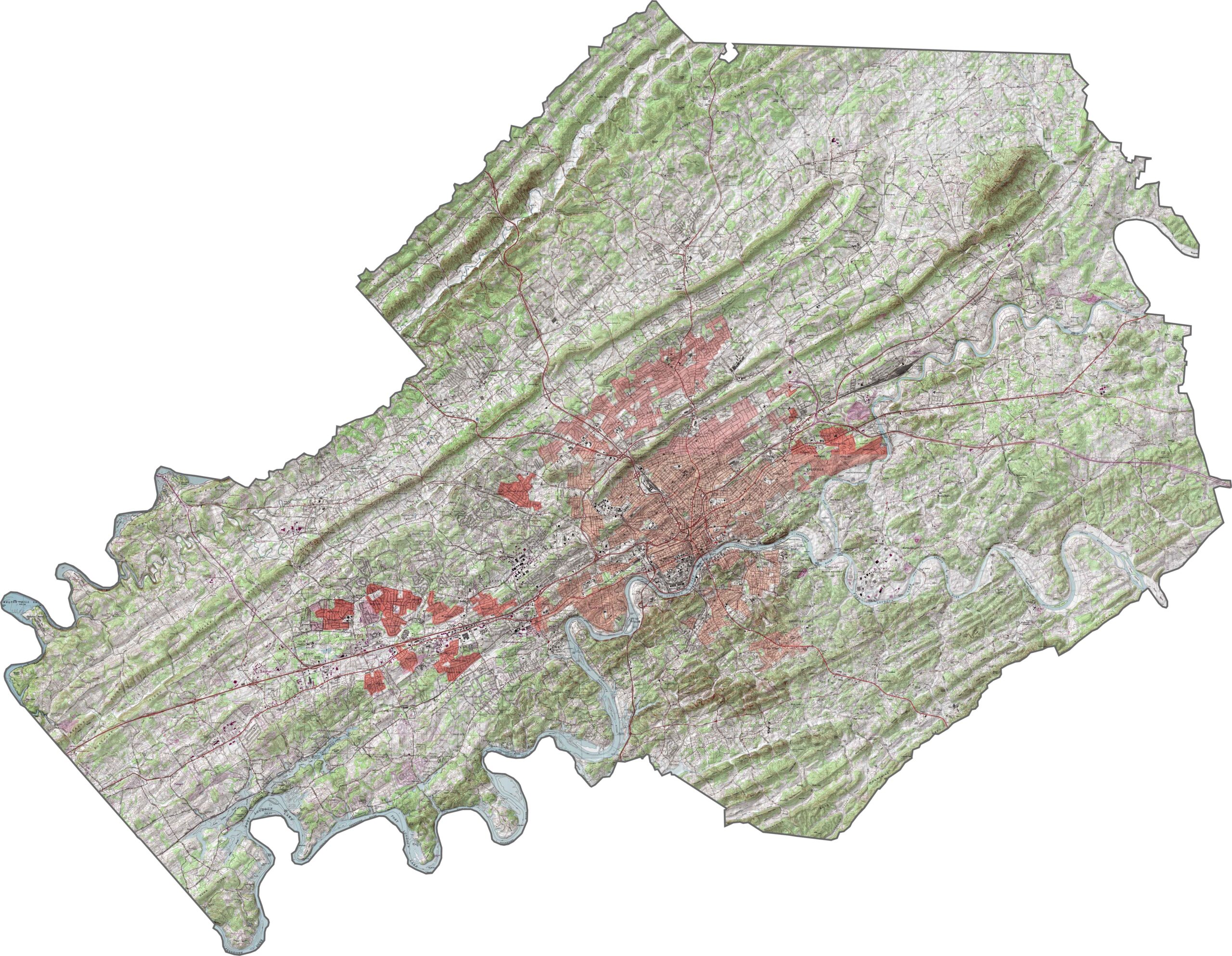
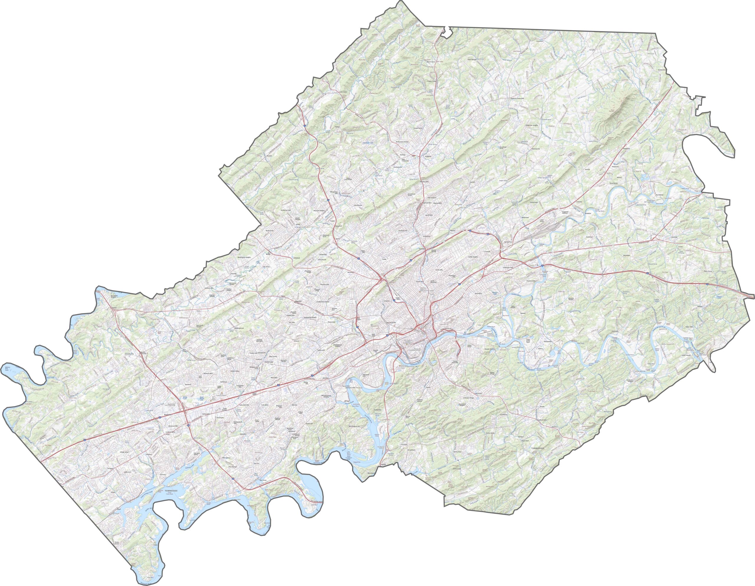
Knox County has a bit of everything, with gentle ridges, wide valleys, and a winding river defining its layout. The Tennessee River is the centerpiece, curling through the middle of the county.
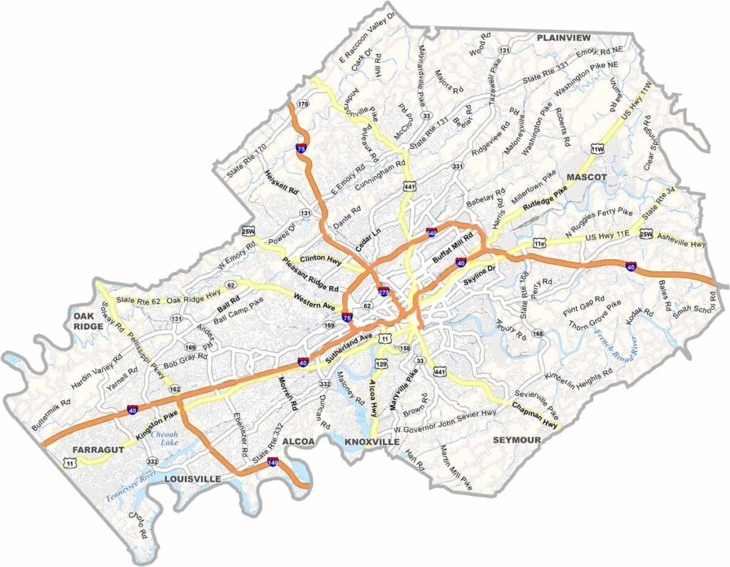
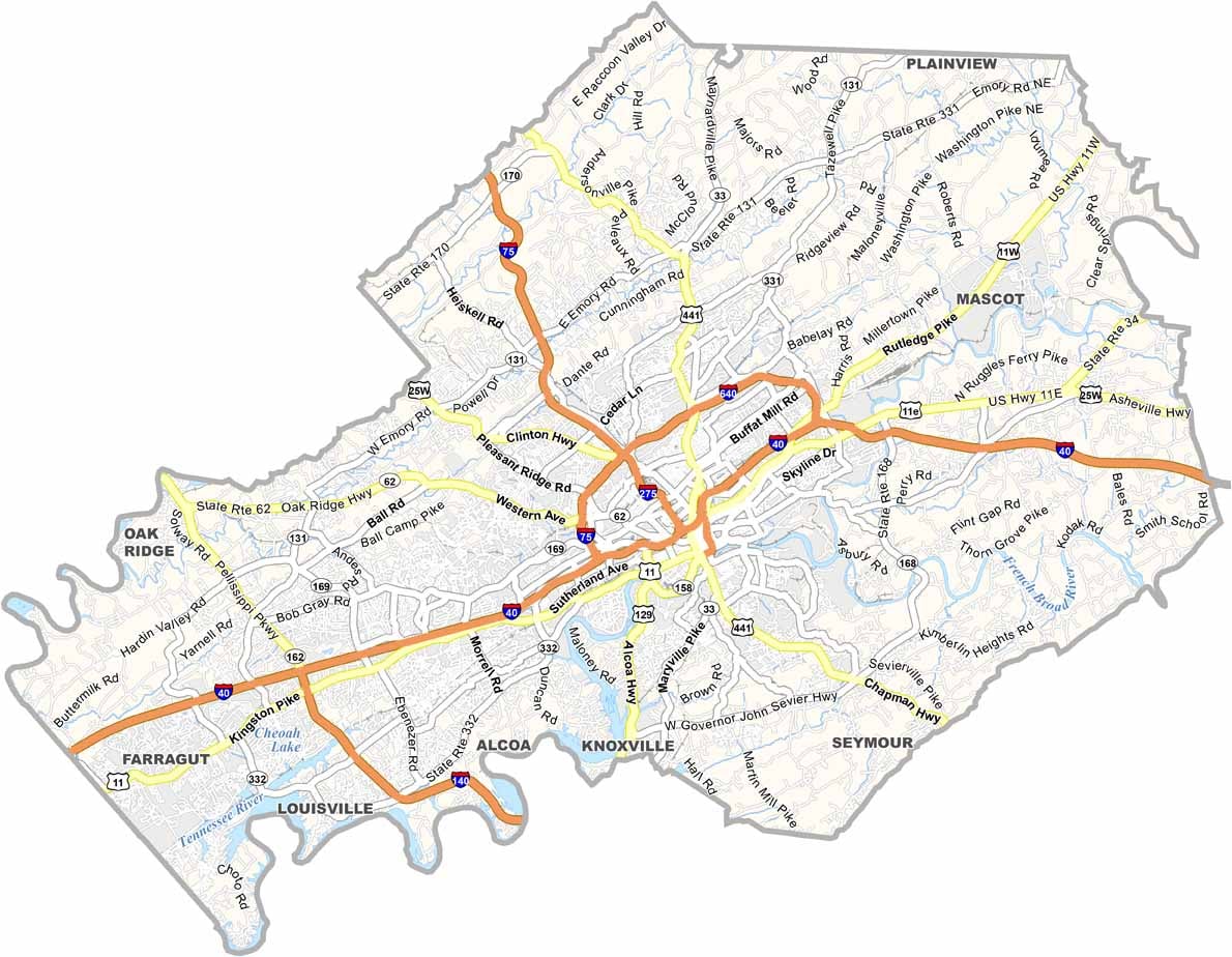
I-40, I-75, and I-640 are the key highways in Knox County. Suburban routes offer some relief, though not always quickly, but the transportation system works well enough overall. Want to see how all these routes fit together? Our zoom tool on the road map makes it simple.
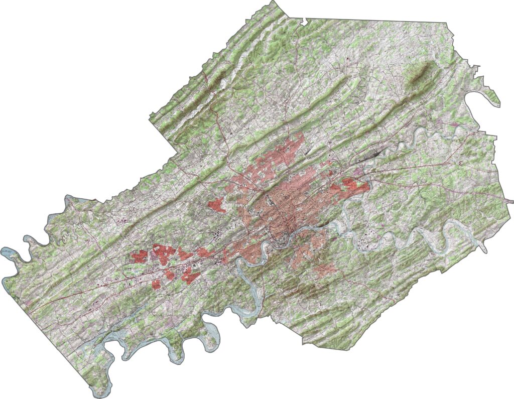
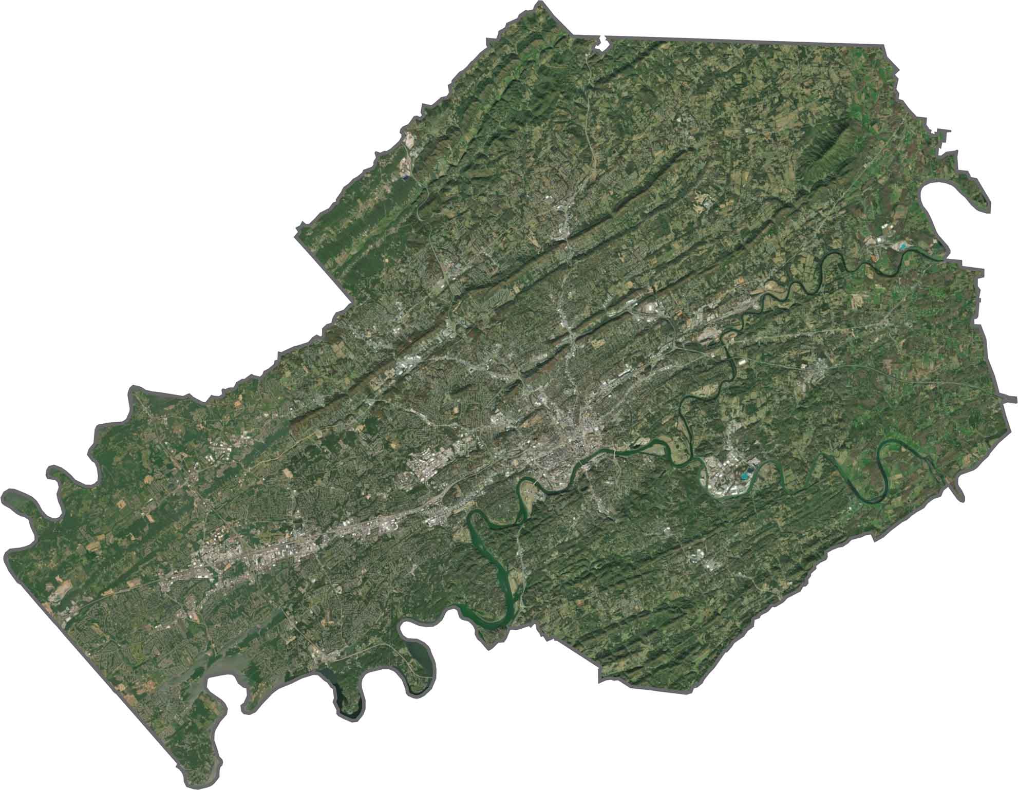
In our satellite map of Knox County, you'll spot Knoxville in the middle, spreading out in gray. Fields show up in long strips, especially to the north and west, but trees still hold their ground across the landscape.
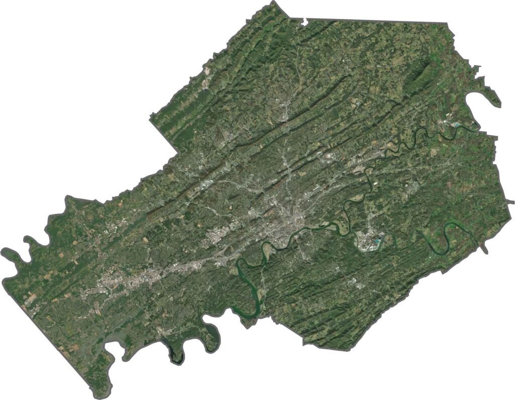
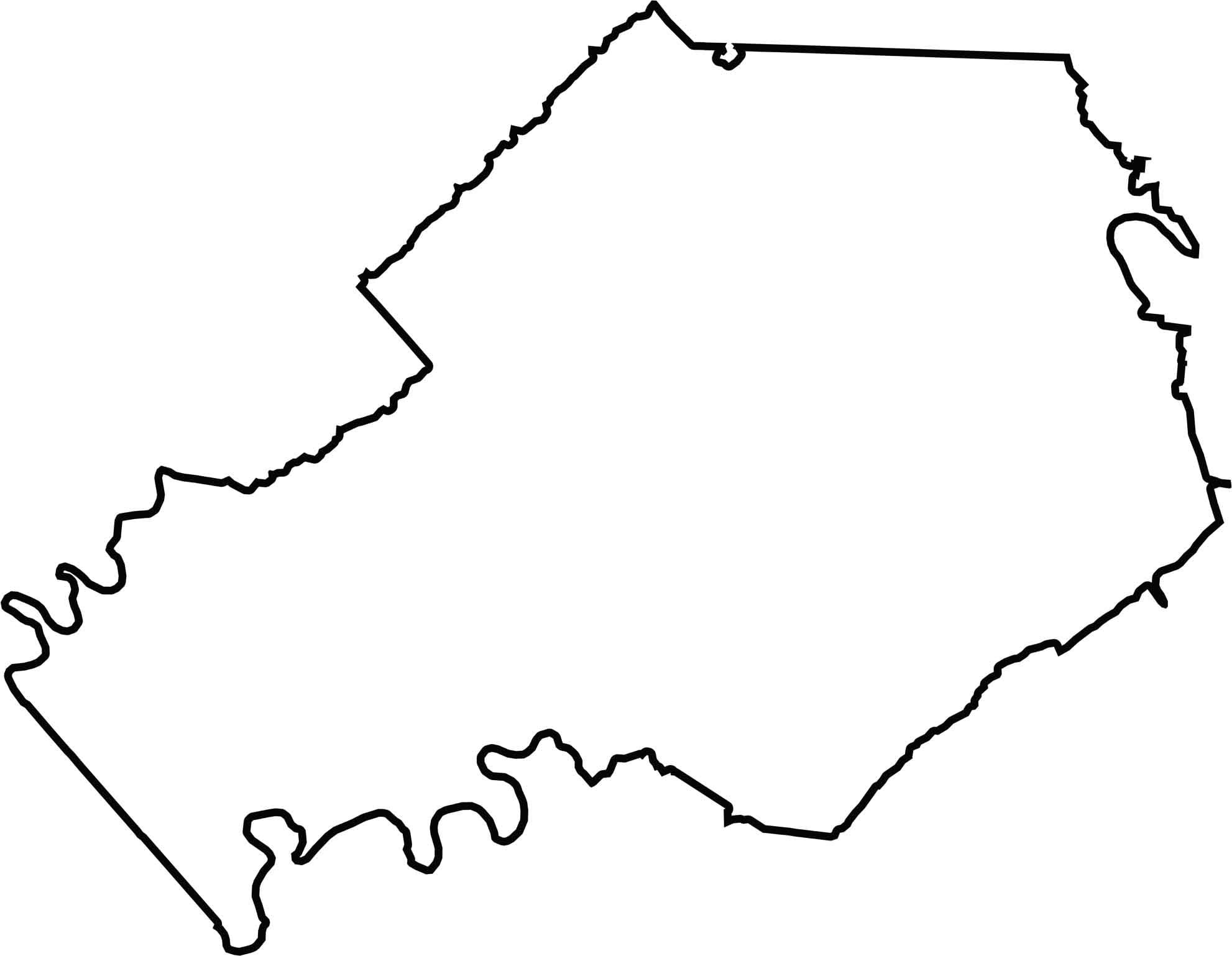
Knox County has an irregular shape, slanted a bit diagonally. The Tennessee River marks part of the southern edge. The county doesn't border another state, but it gets fairly close to Virginia and North Carolina.
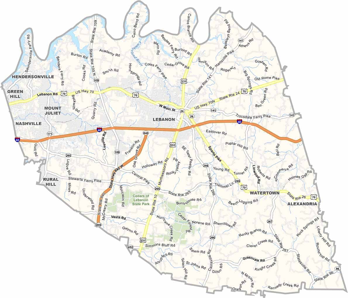
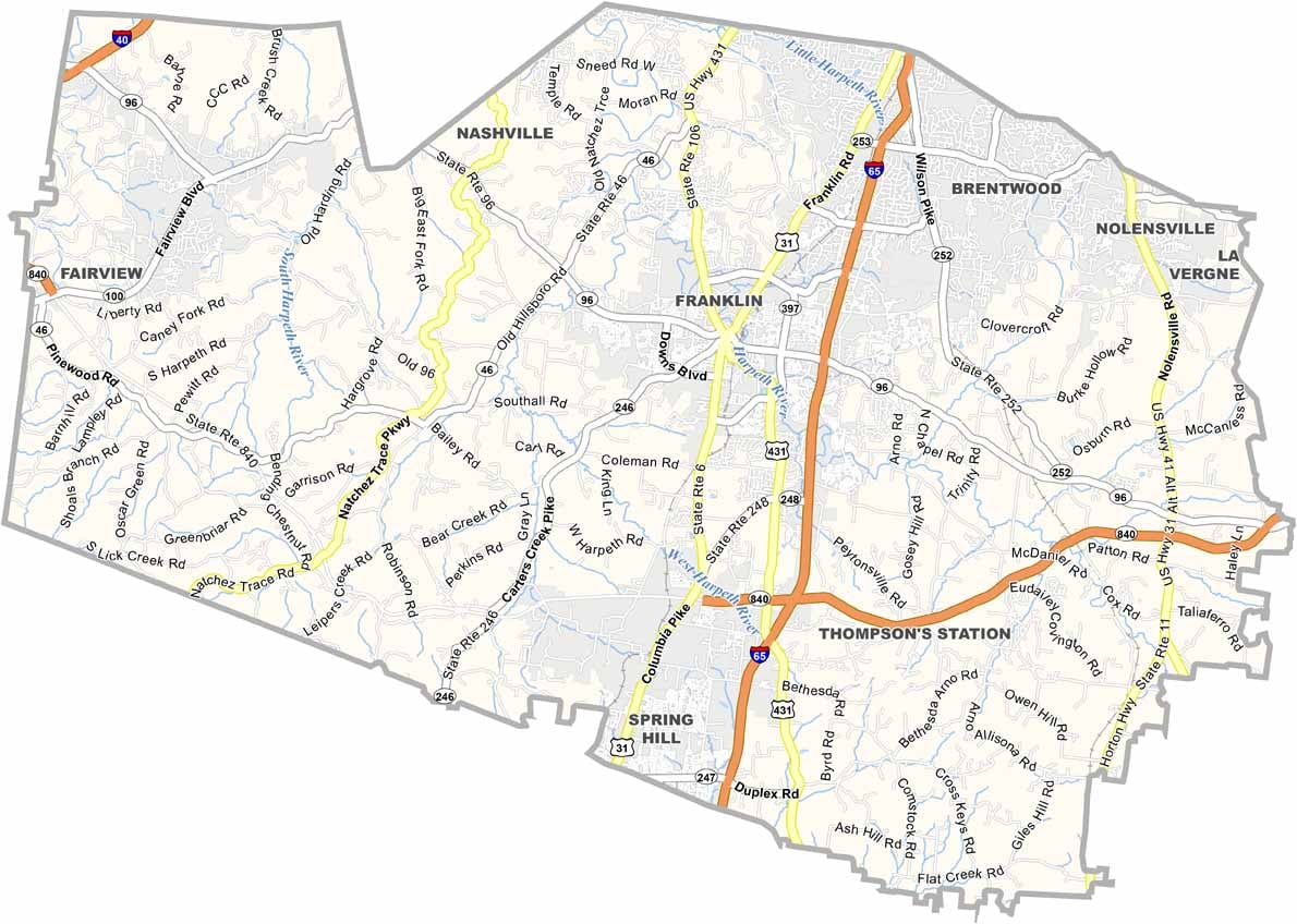
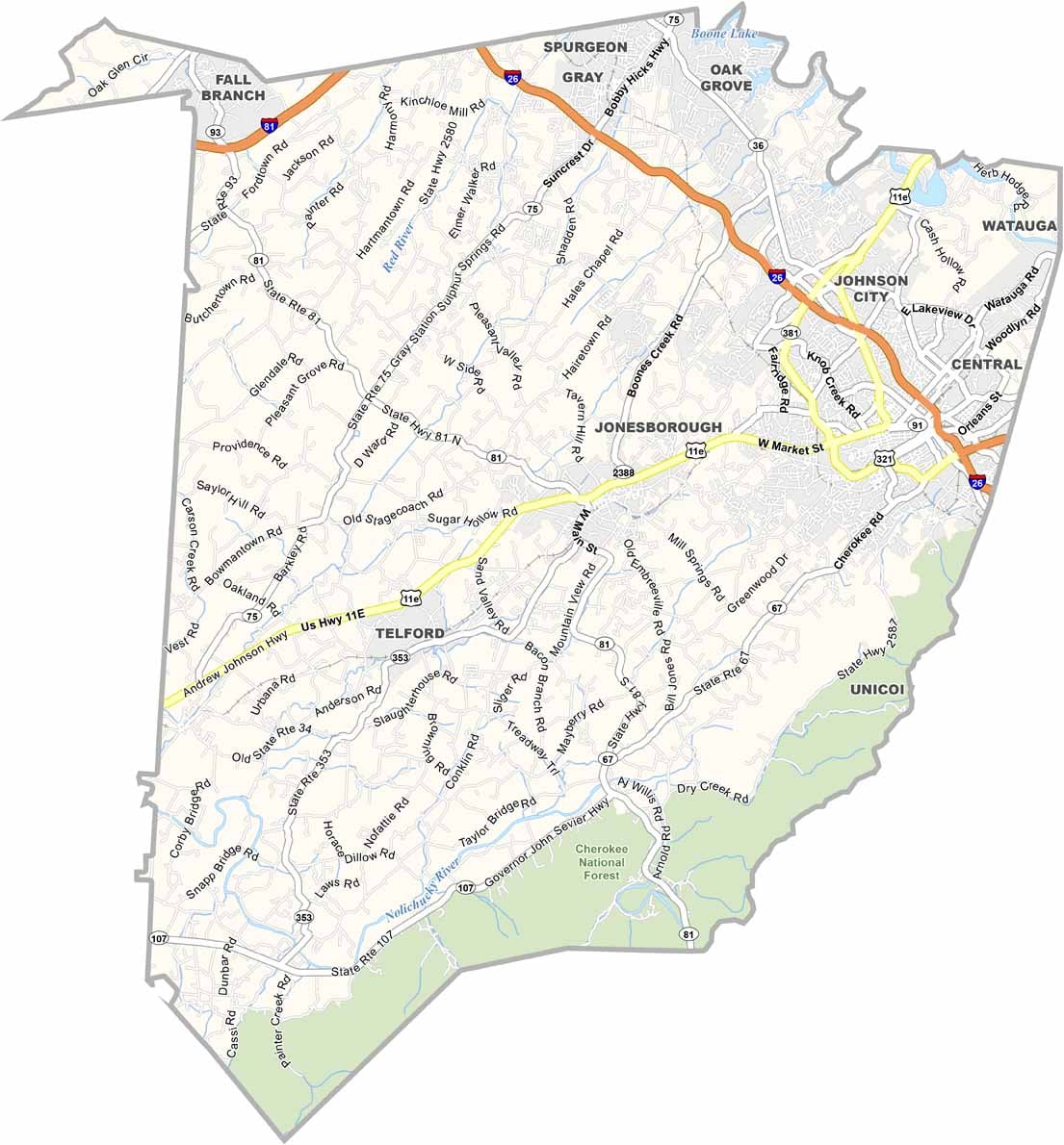
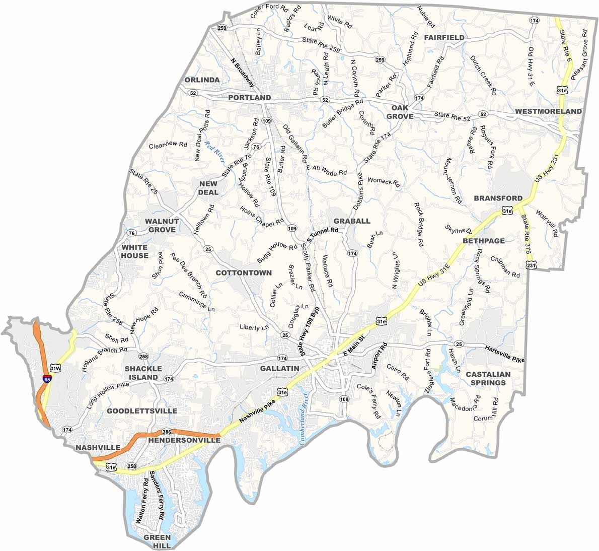
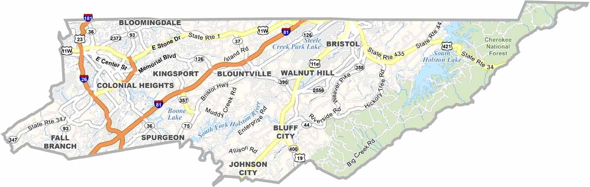
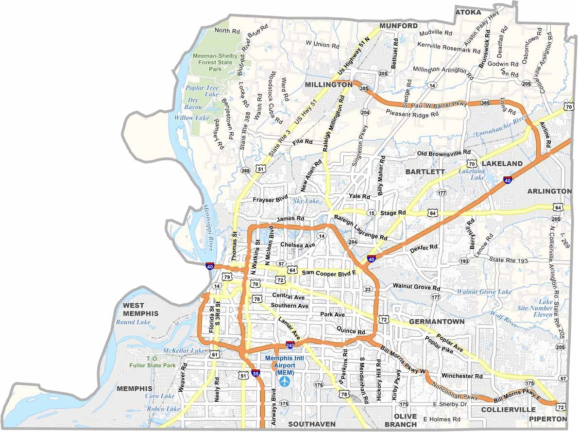
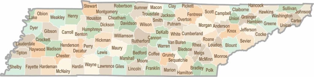
No county in Tennessee is a boring one. Some stretch through the Smokies, while others roll out into the Delta flatlands. Every county is shaped by its land, and it shows.