
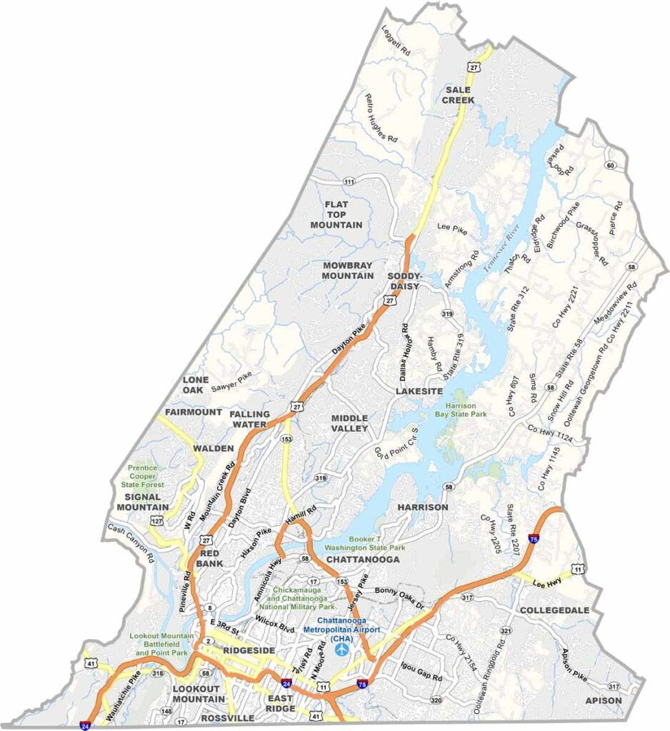
Chattanooga is the star of Hamilton County, which sits in the southeast corner of Tennessee, bordering Georgia. The Tennessee River cuts through the county, shaping the landscape.
This place has come a long way from its industrial past, and today it's all about innovation and outdoor living. Rock City and Ruby Falls draw tourists by the busload, but locals have their own favorite spots.
The county isn't just about Chattanooga, though, as smaller towns surround the city. Visitors enjoy the Civil War sites, and nature lovers can't get enough of the mountains and rivers. Hamilton County has something for everyone.
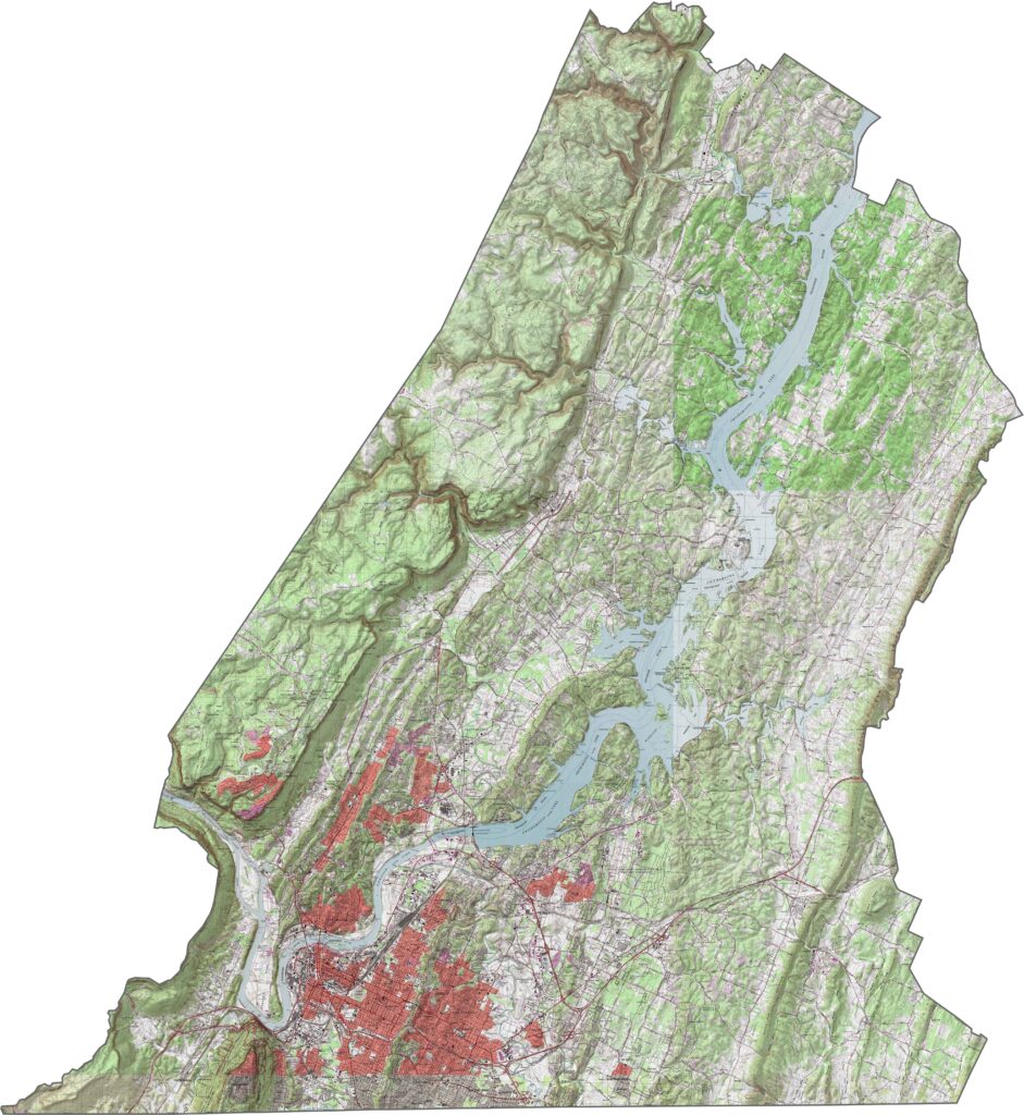
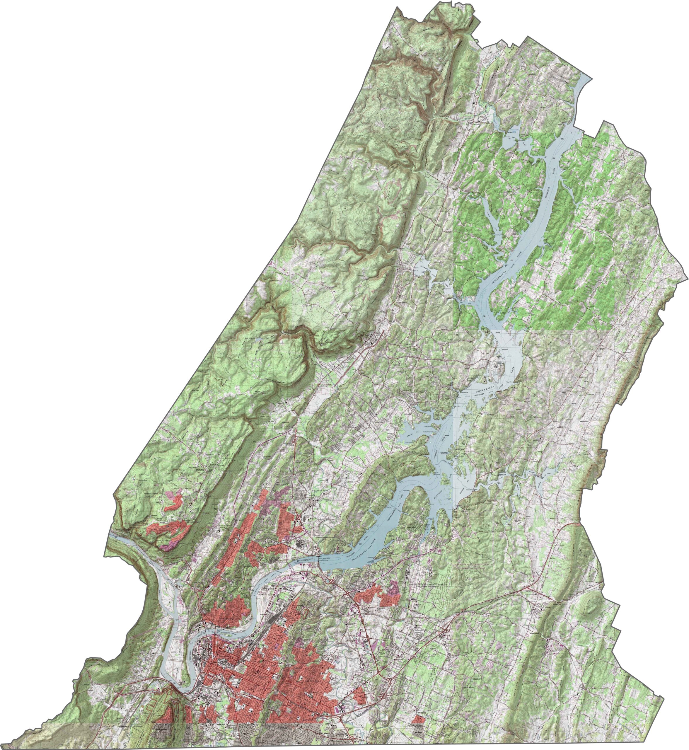
Hamilton County is anything but flat, and its most defining trait is its ridges. Missionary Ridge and Lookout Mountain stand out like giants watching over the valley. Elevation shifts quickly, so one minute you're in a dip and the next you're up high with a view.
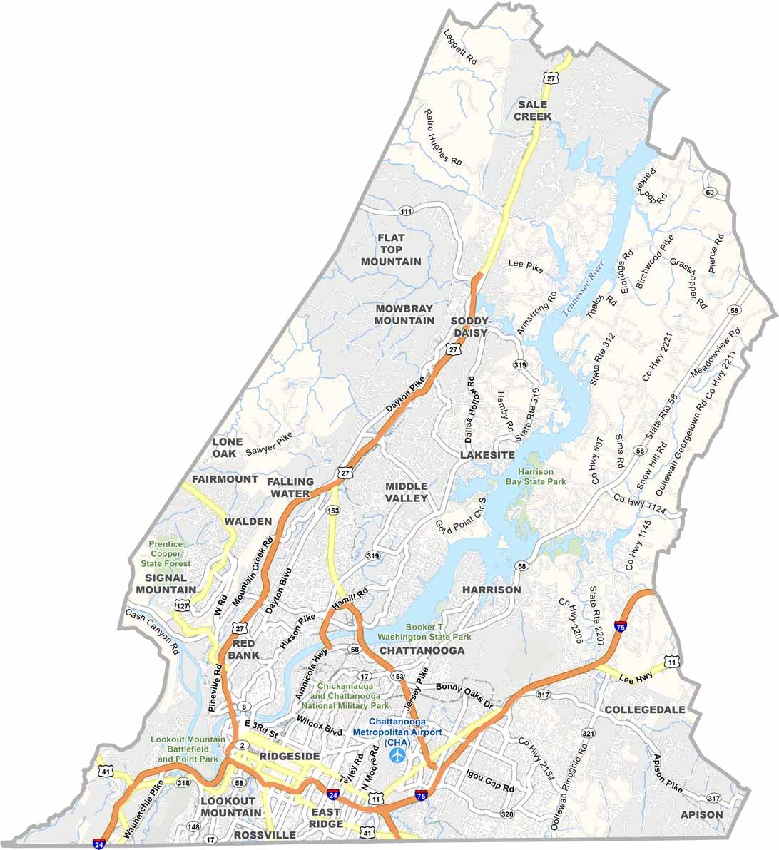
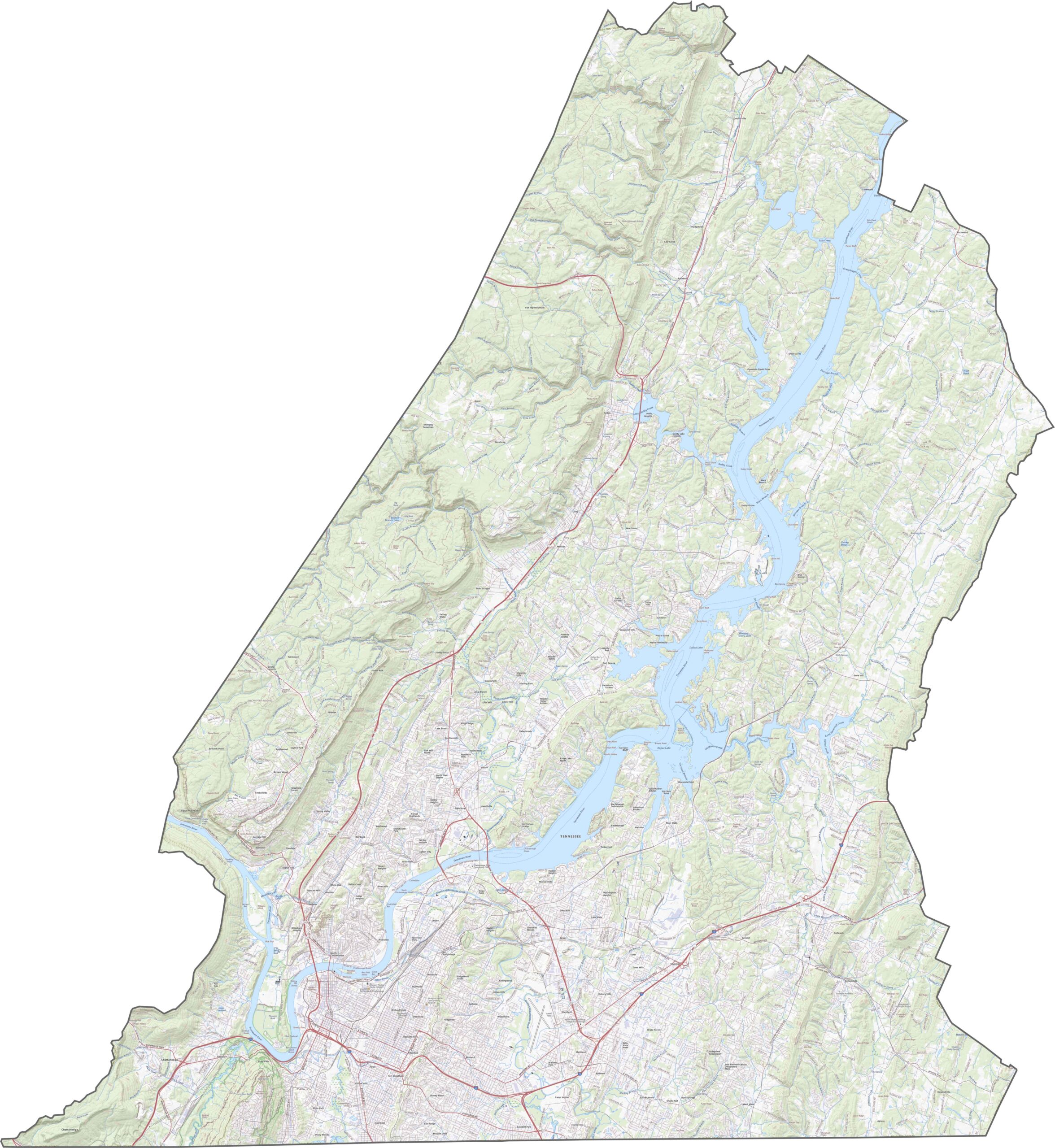
Traffic can get busy in Hamilton County. Some highways shoot straight into Chattanooga, while other roads follow the river. Despite the twists, navigation is fairly intuitive, and it all ties together better than you'd expect. If you're curious how it looks from above, our zoom tool below shows every detail.
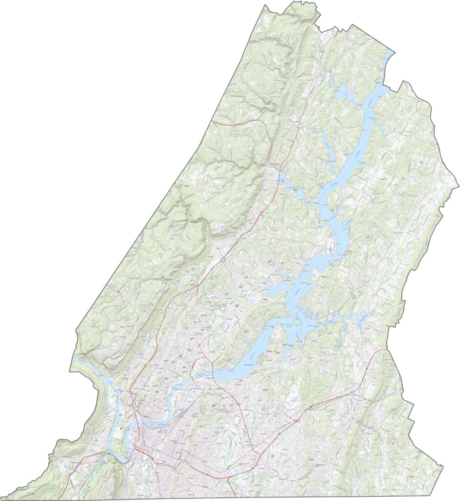
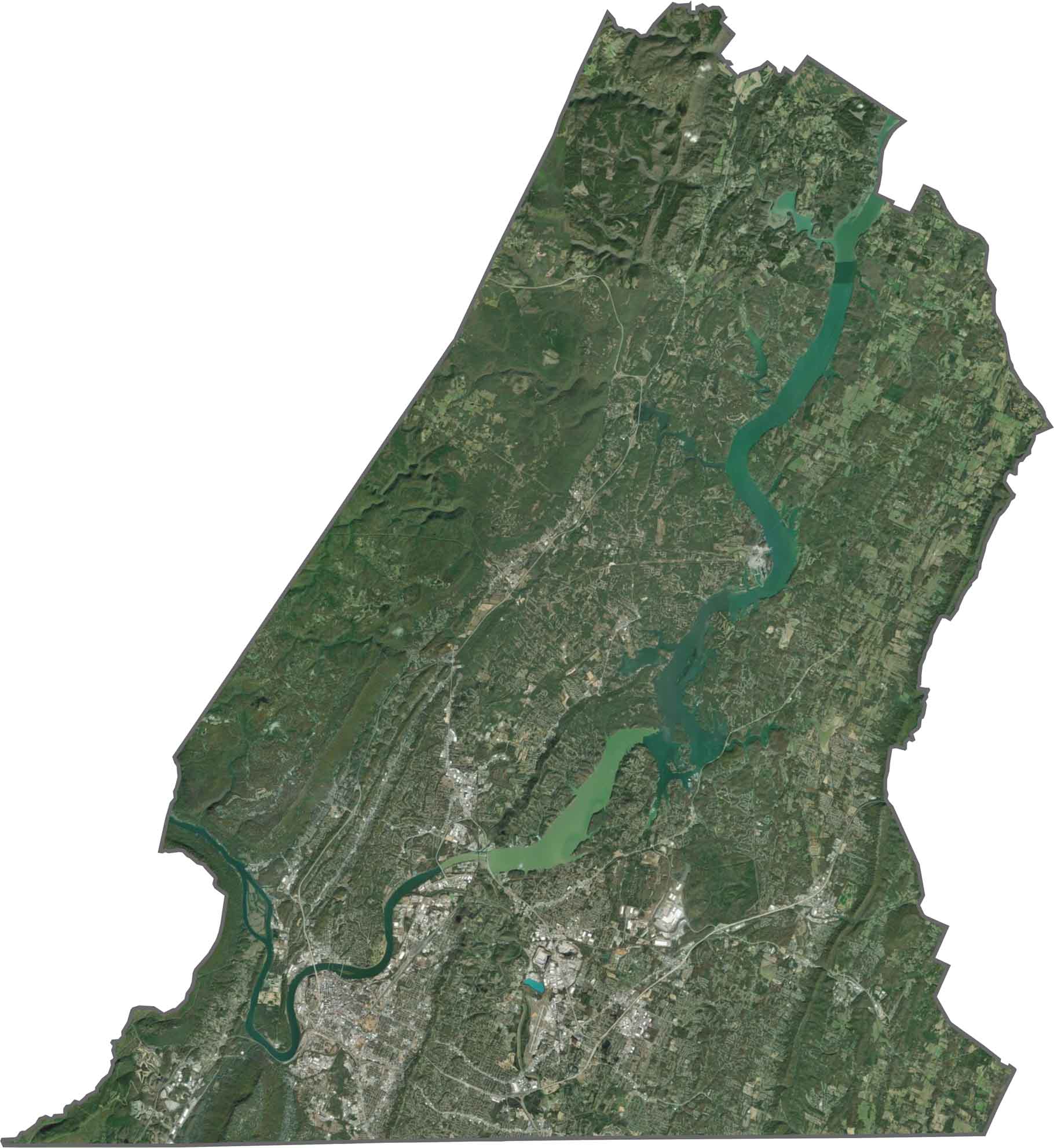
Urban development spreads out from the core of Chattanooga, yet dense forest still grips the hills. The Tennessee River flows through the middle, and although farmland still exists, trees cover the outer edges.
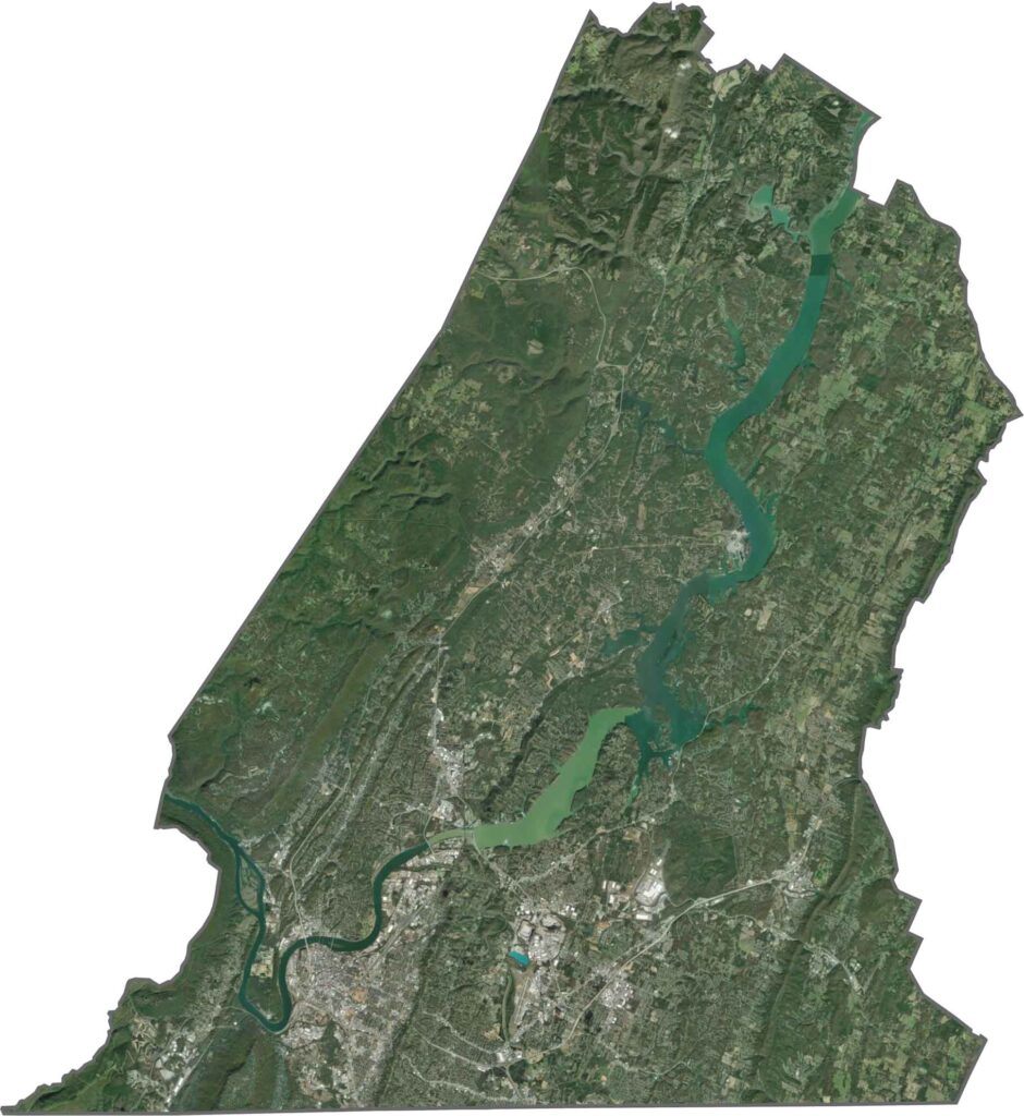
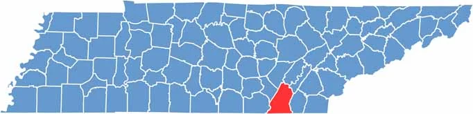
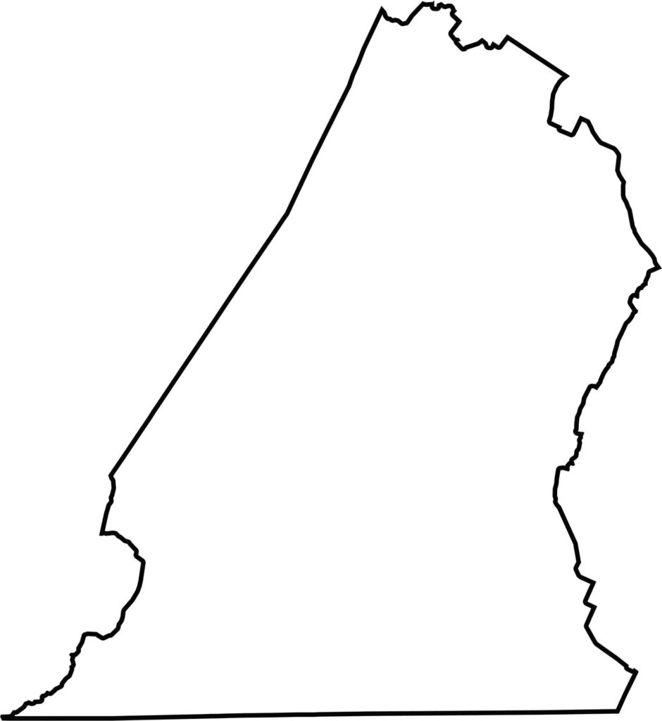
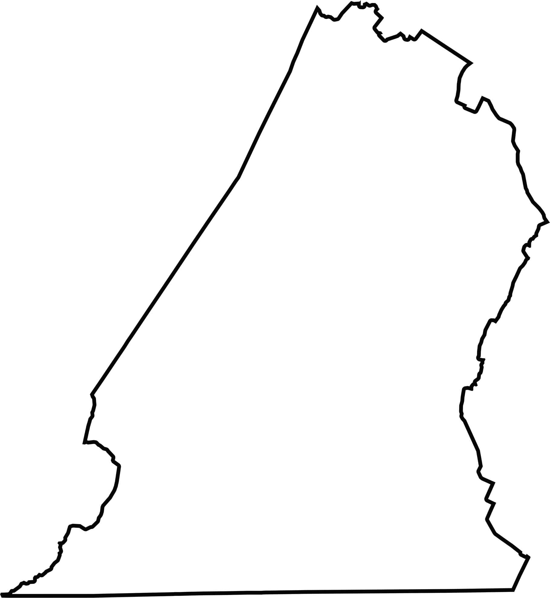
Hamilton County is elongated and warped in shape. It touches Georgia to the south, forming a state border, and Tennessee neighbors surround the rest.
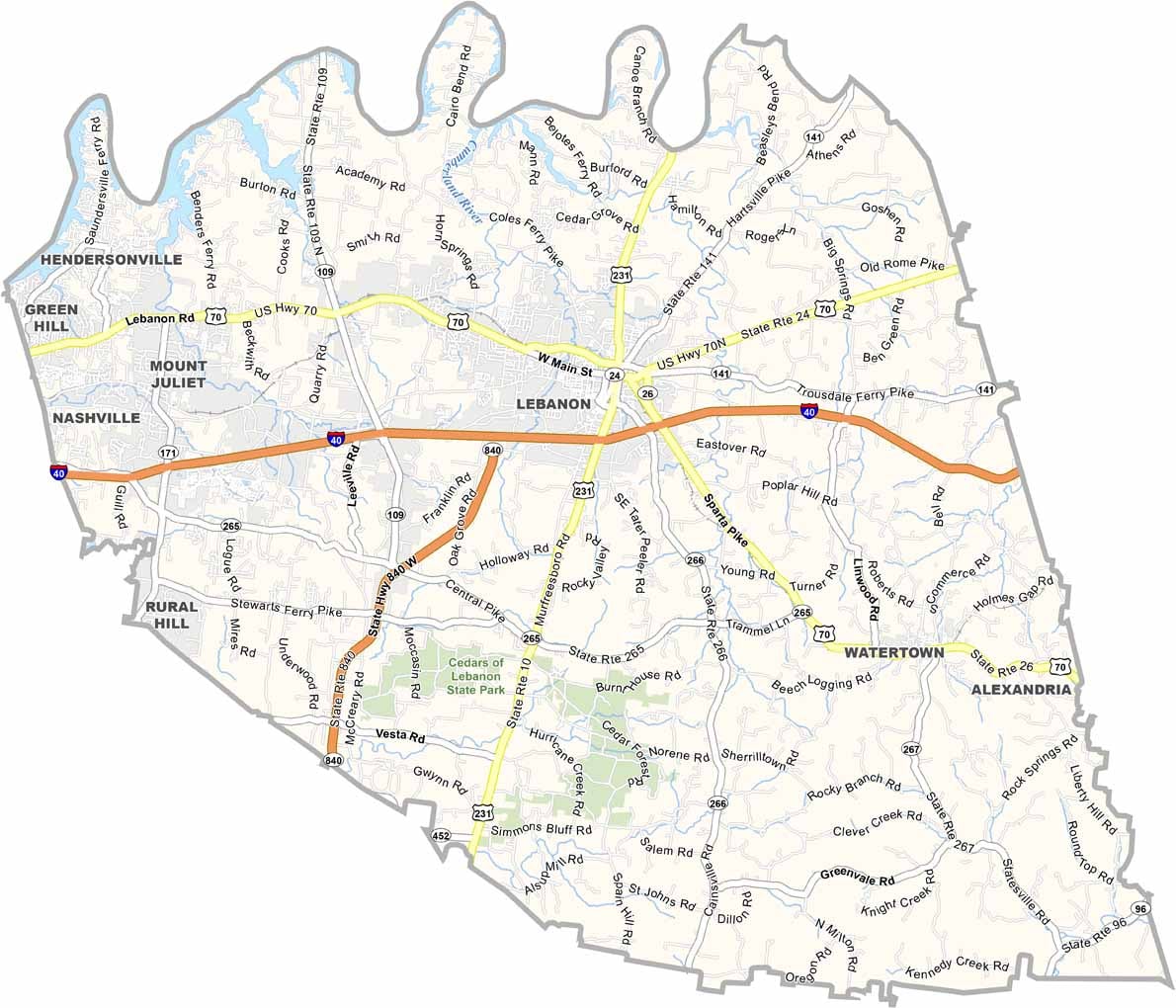
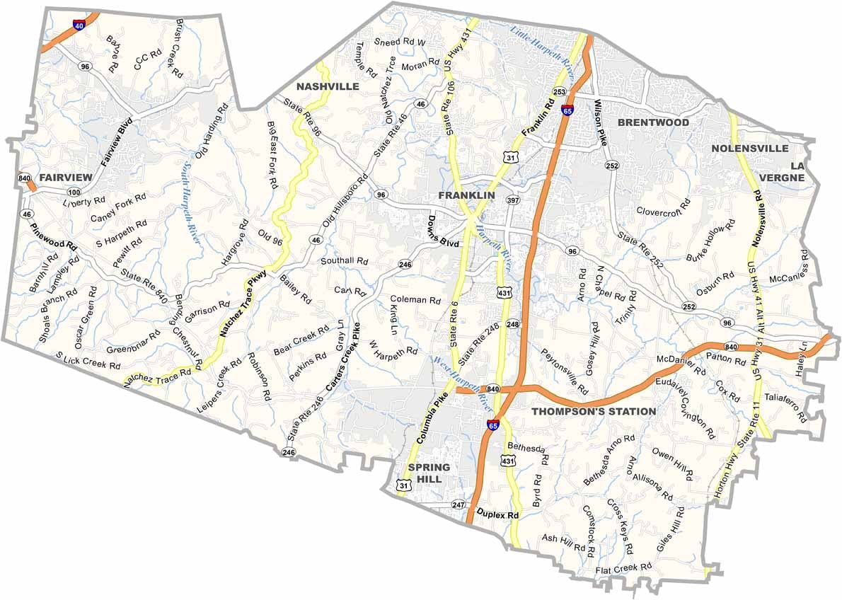
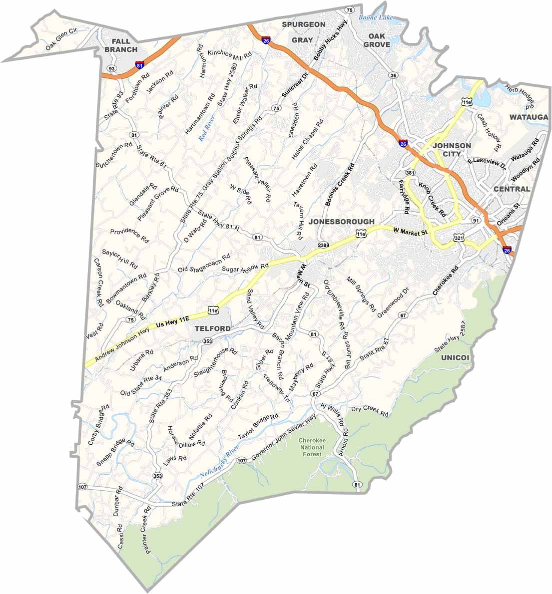
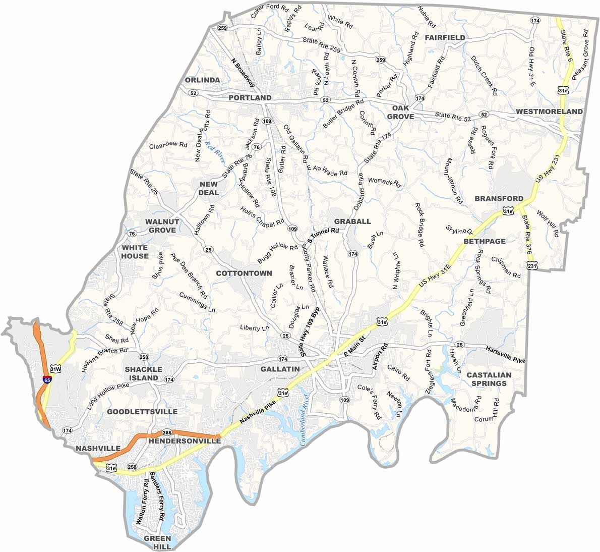
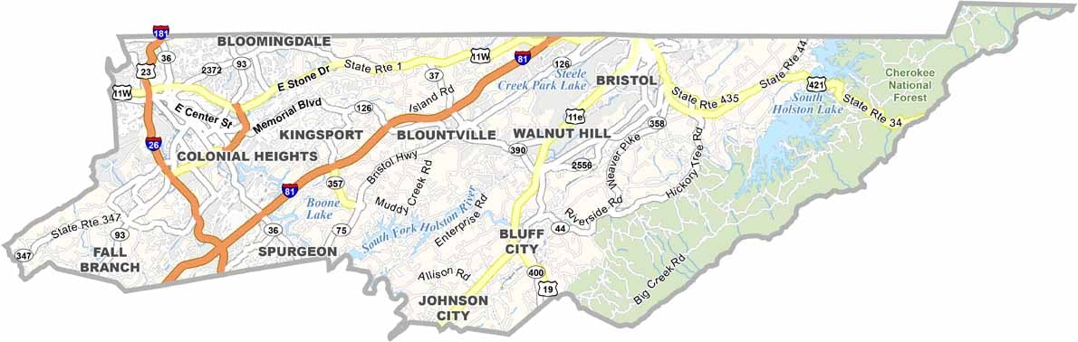
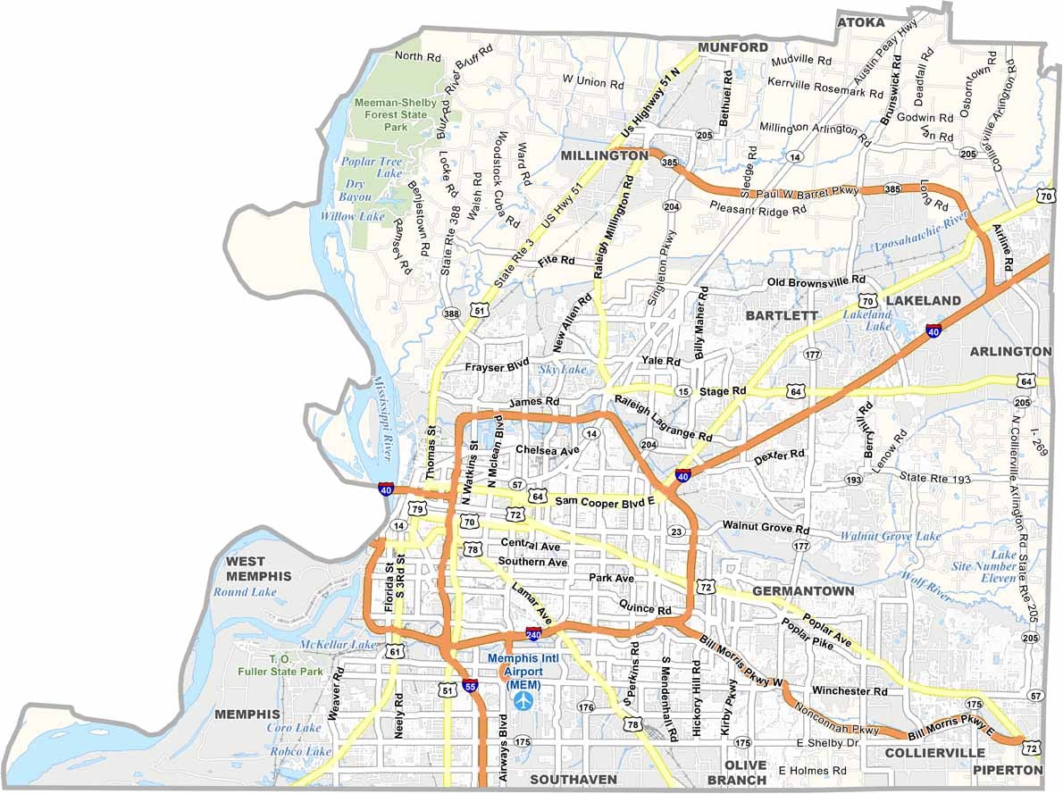
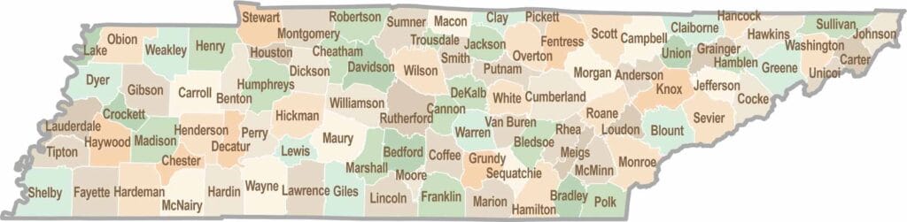
No county in Tennessee is a boring one. Some stretch through the Smokies, while others roll out into the Delta flatlands. Every county is shaped by its land, and it shows.