
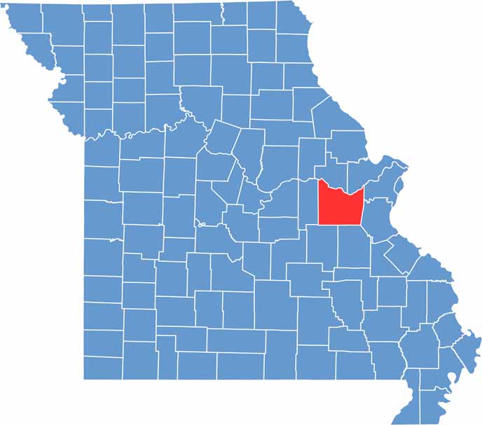
Franklin County sits in east-central Missouri, where the Ozark foothills begin to flatten out on the way toward St. Louis. The Missouri River cuts right through it.
This place has stories to tell. German immigrants left their mark here, and you can still see it in the architecture and taste it in the wine.
Speaking of wine, the eastern part of the county sits in the heart of Missouri wine country. Hermann, just across the river, gets all the attention, but Franklin County has some hidden gems of its own.
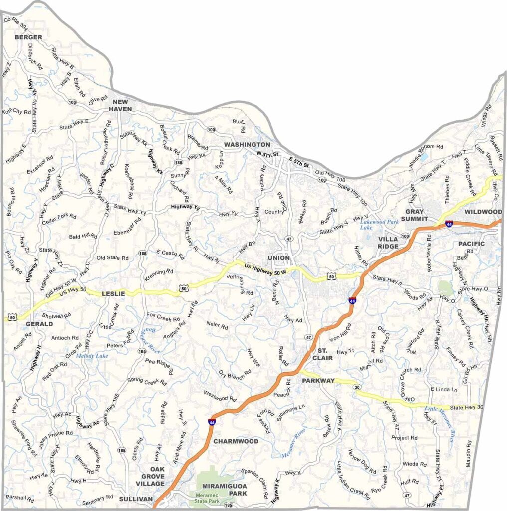
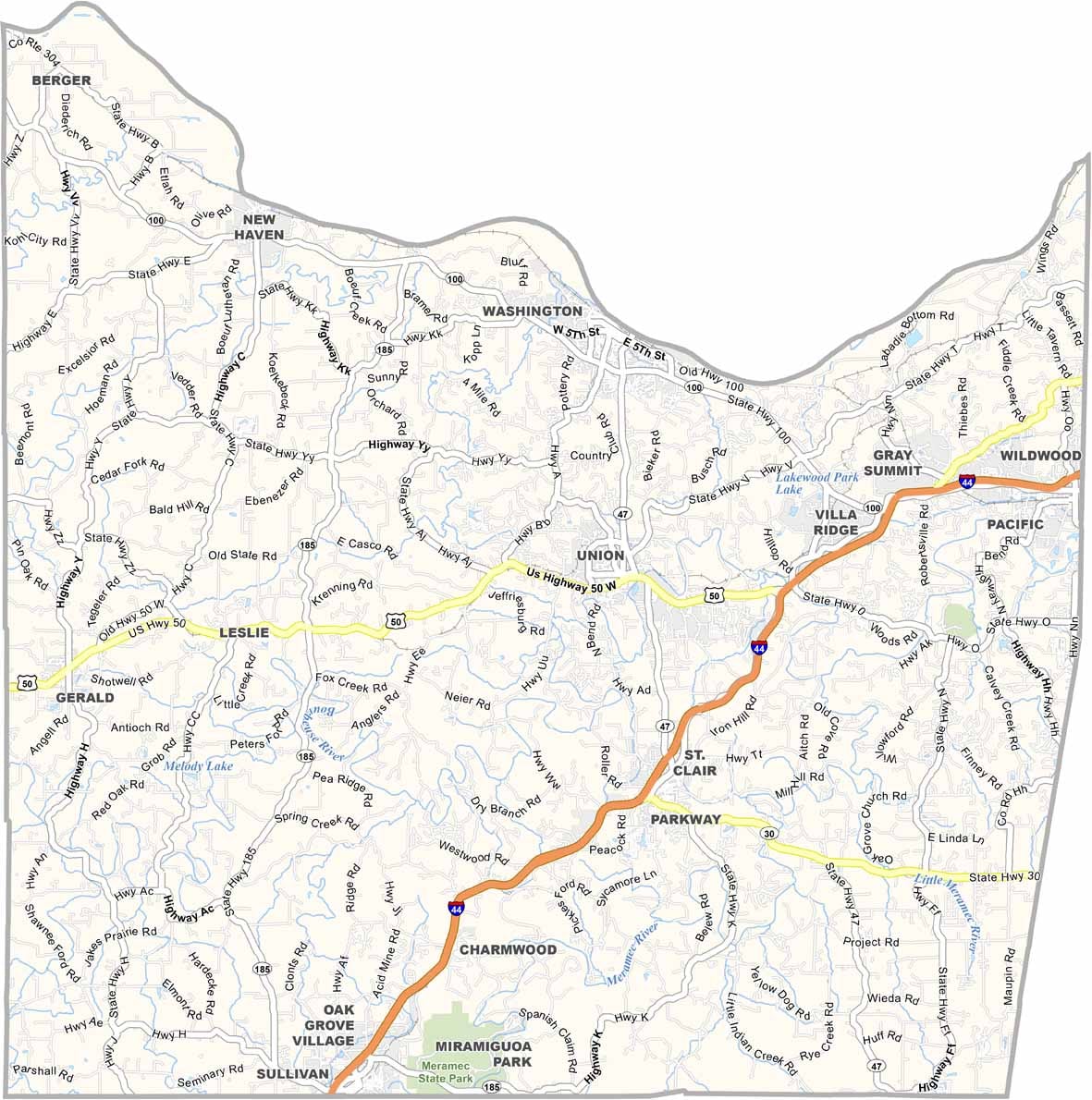
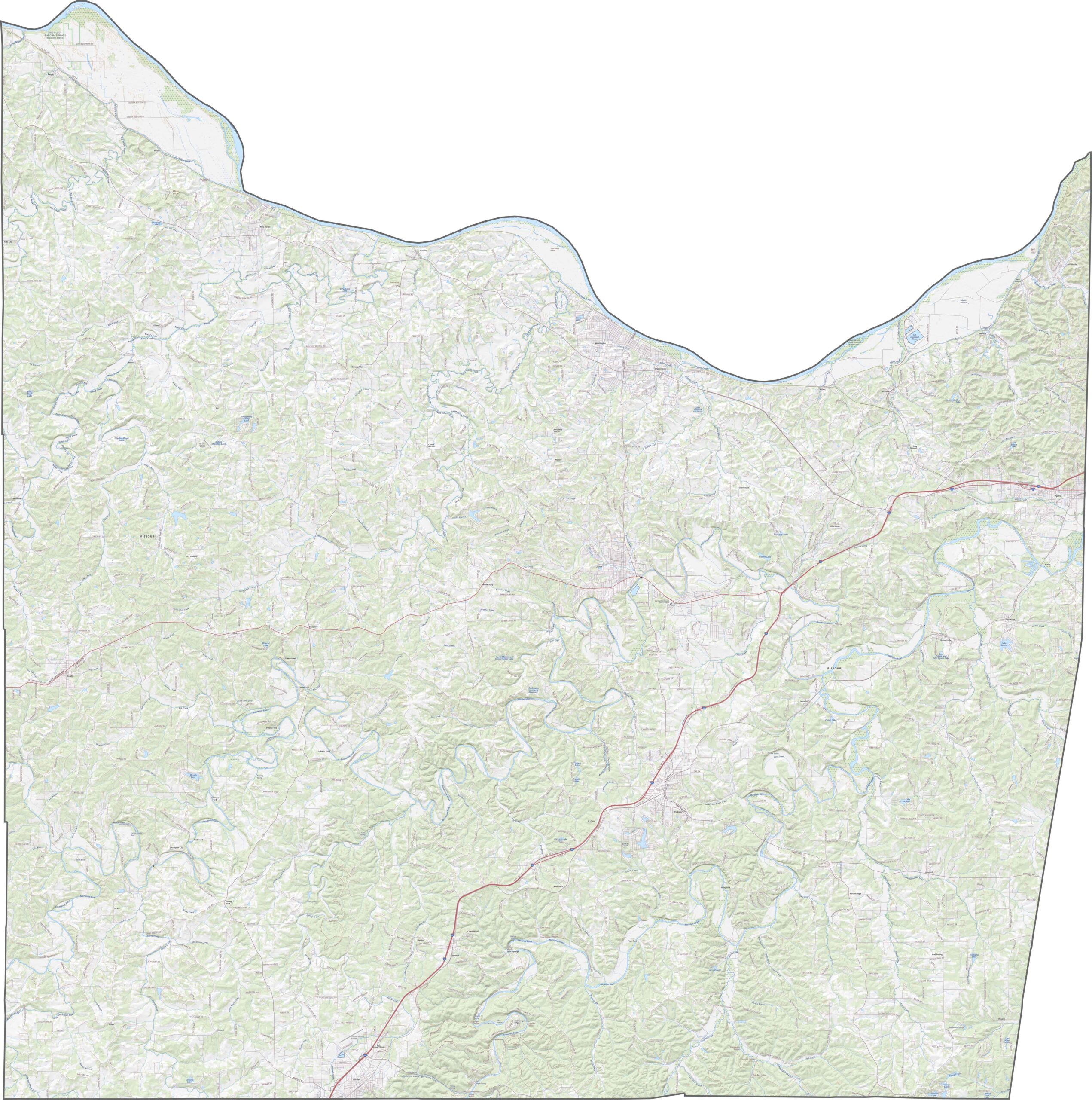
Check out our road map of Franklin County to get familiar with its network of roads. Use our zoom tool to take a closer look at every highway and backroad.
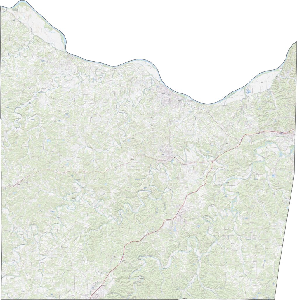
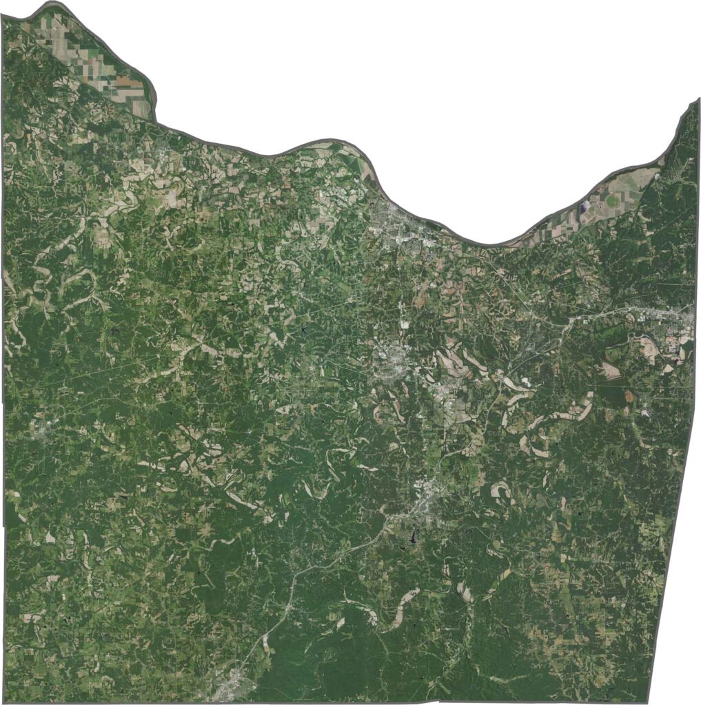
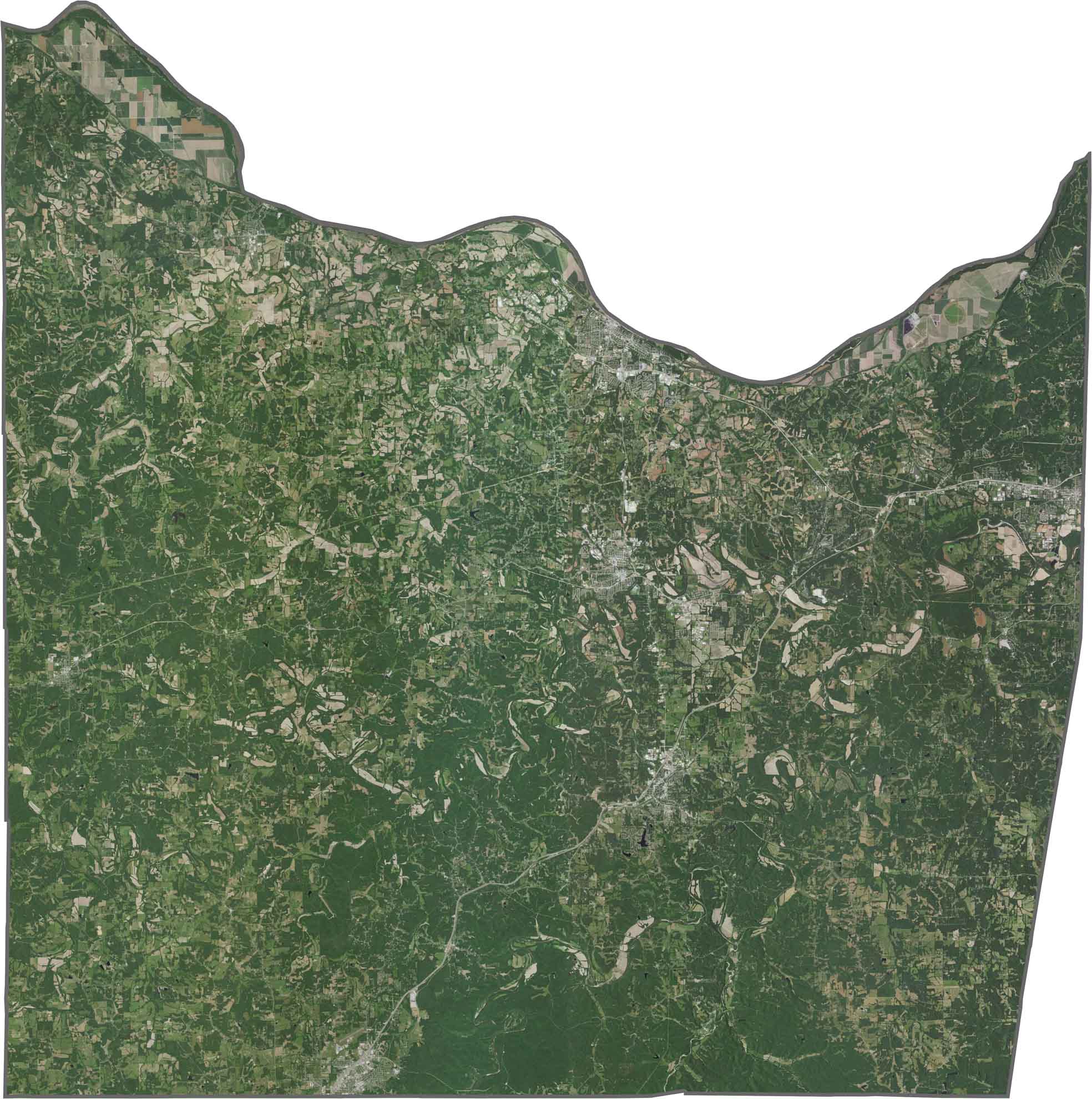
Our satellite map of Franklin County showcases its forests, farms, and towns. Thick forests cover much of the southern half, while the northern areas have more open farmland, though woods still break up the fields. Towns like Union and Washington stand out brightly against all the green.
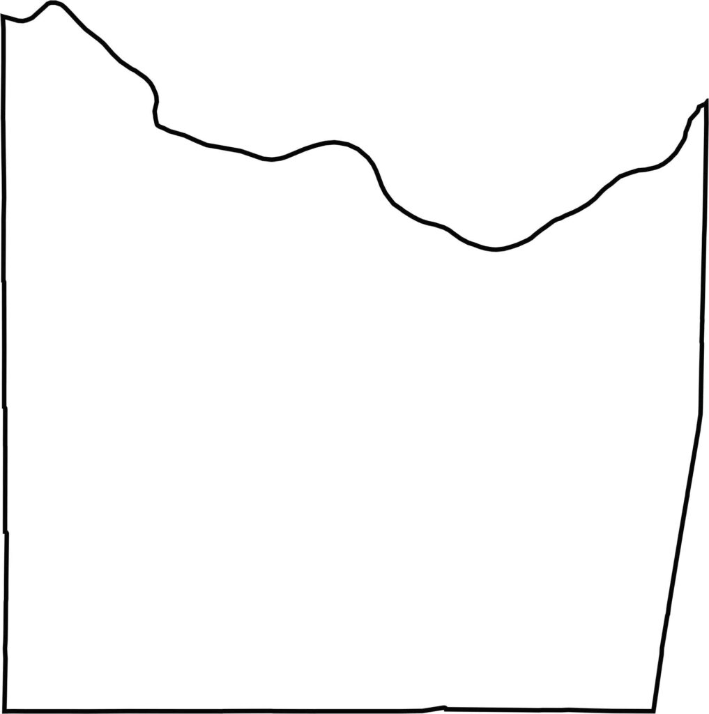
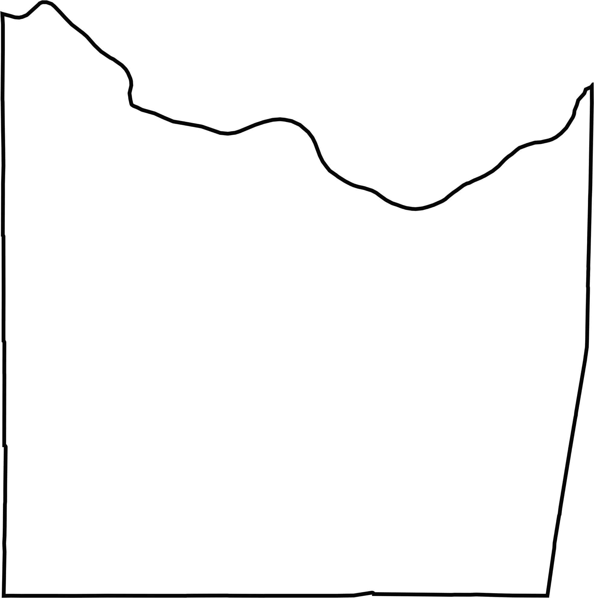
Franklin County has a curvy, irregular northern border thanks to the Missouri River. Although it lies close to the Mississippi River, the county doesn't actually border another state.
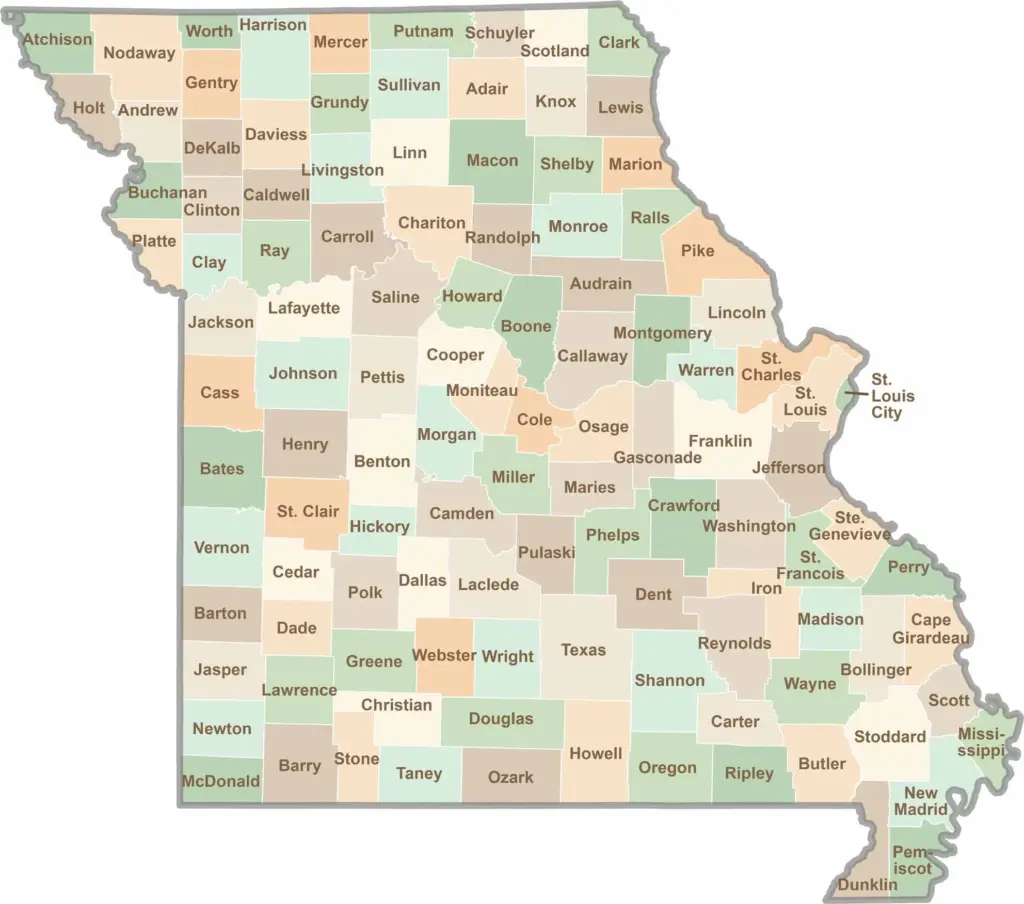
Discover the Show-Me State with our collection of all 114 county maps, your guide to smoky BBQ, Ozark trails, and sunsets over the mighty Mississippi River. From St. Louis to Branson, Missouri has something waiting around every bend in the road.