
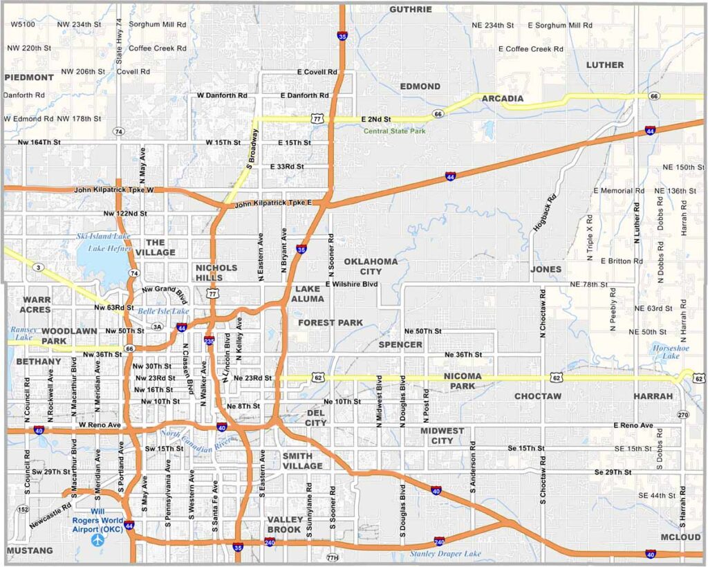
Oklahoma County sits at the center of Oklahoma and contains Oklahoma City, the state capital and its largest city. Something is always happening here.
The county's past runs from the Land Runs to the oil booms. Today it combines big-city energy with quiet suburban living. The Oklahoma City National Memorial is hard to overlook, standing as a moving tribute to the victims of the 1995 bombing.
The local economy is varied, with energy, healthcare, and aerospace among its strongest sectors. Sports fans rally behind the NBA's Oklahoma City Thunder, and those who prefer the outdoors can head to Lake Hefner. Oklahoma County is the heart of the state in both geography and culture.
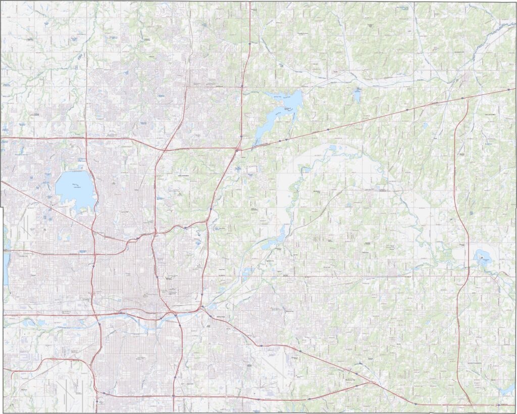
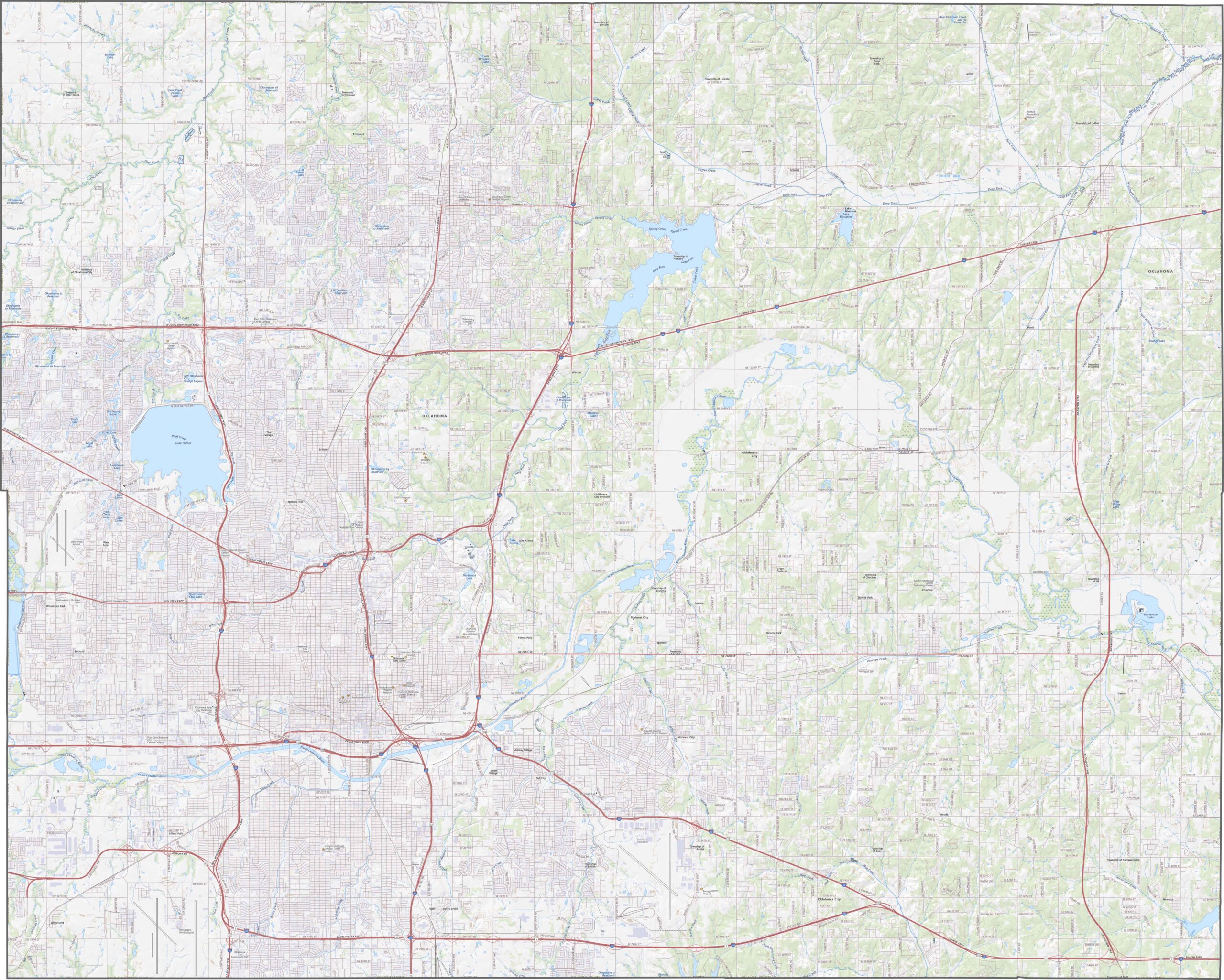
Oklahoma County is crowded with major roadways. Interstate 35, Interstate 40, and Interstate 44 all come together here, creating a massive transportation hub. It may sound chaotic, but the system works surprisingly well. The zoom tool on our map below makes it easy to trace every highway and road.
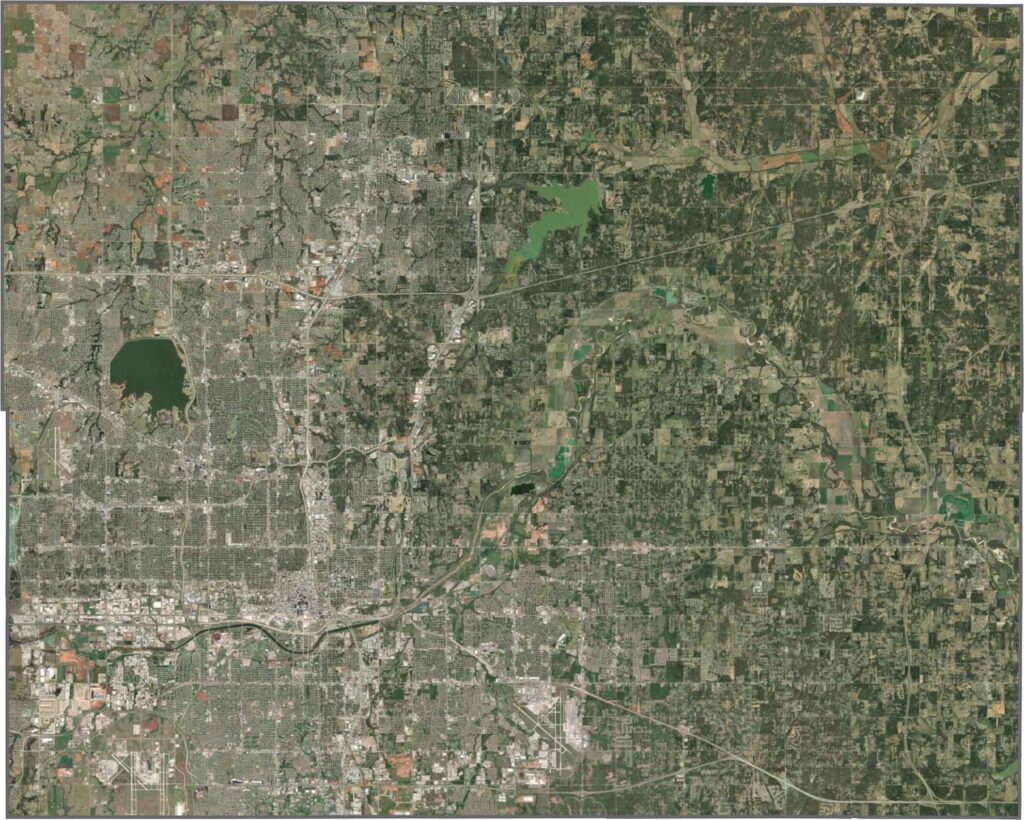
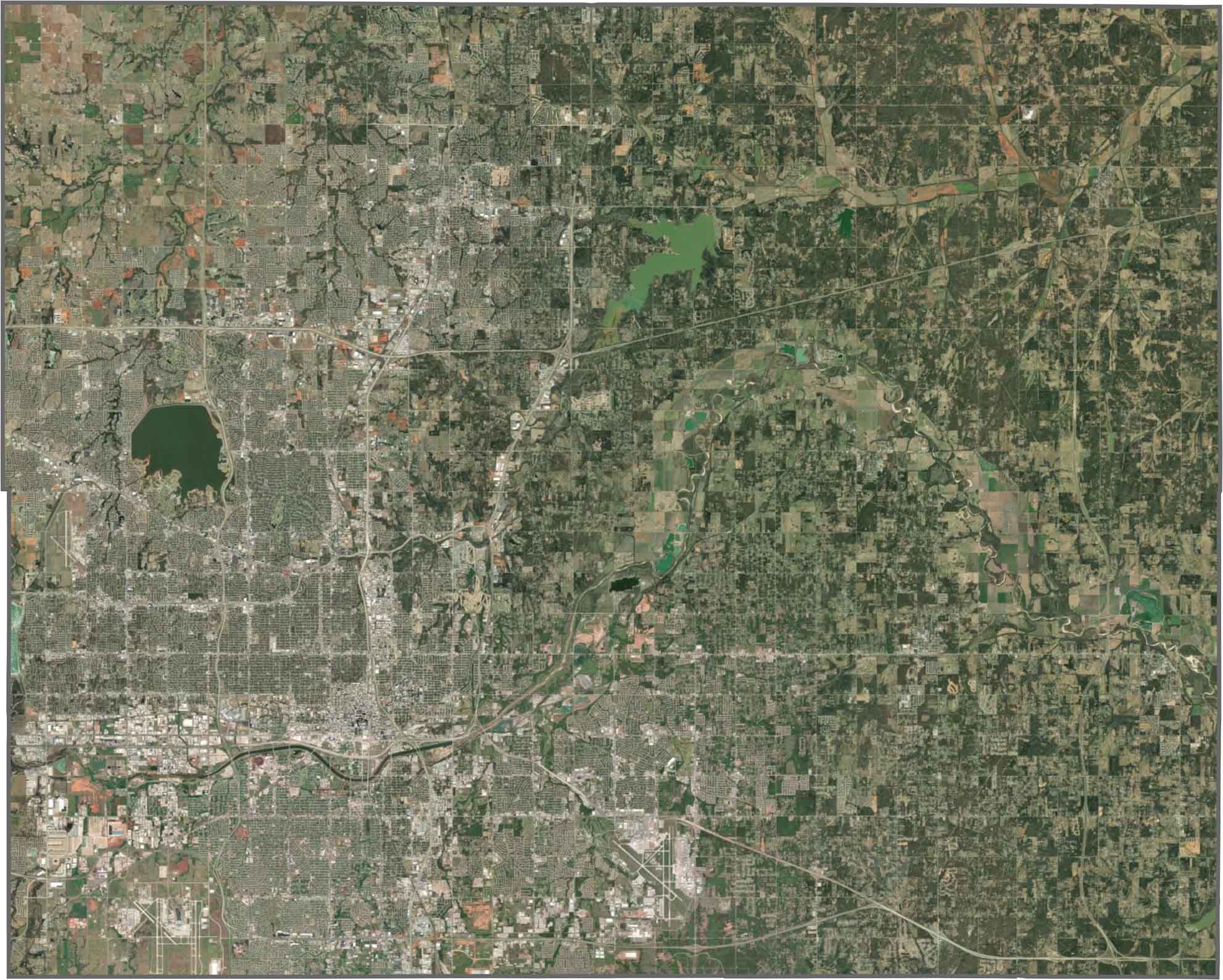
Oklahoma City commands our satellite view, with its roads and neighborhoods spreading out in every direction. Even within the urban sprawl, patches of green stand out. Lake Hefner and Arcadia Lake are easy to spot.
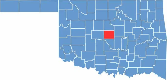
Oklahoma County is simply rectangular. Its borders follow survey lines, with no rivers or natural features marking the edges. The county is landlocked and surrounded by other Oklahoma counties.









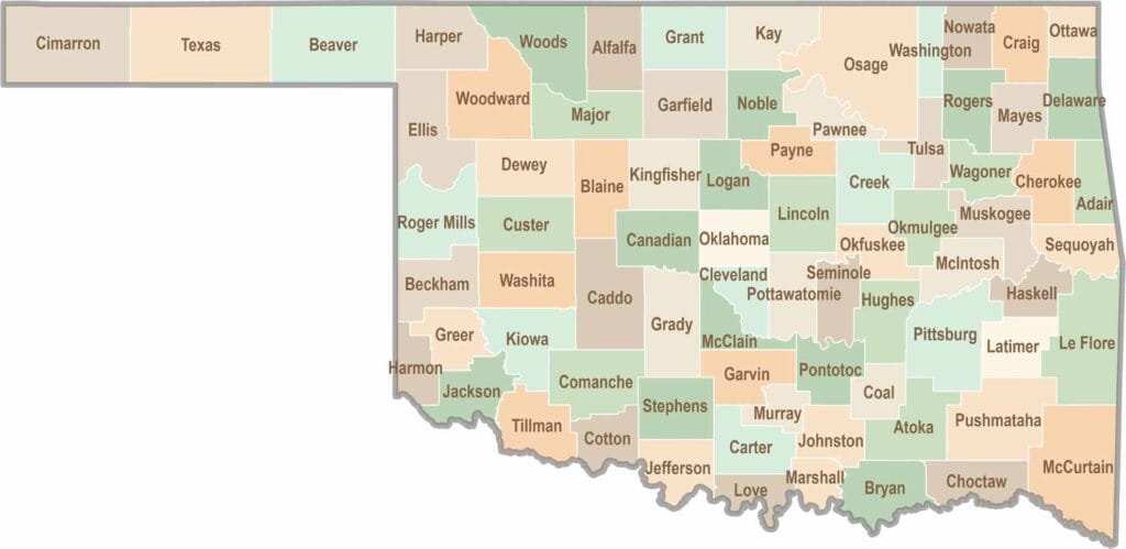
Oklahoma’s 77 counties are all a little different. One might welcome you with a grain elevator, while another greets you with murals, fry bread, and a packed Friday night football crowd.