
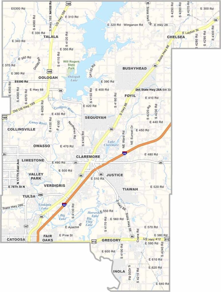
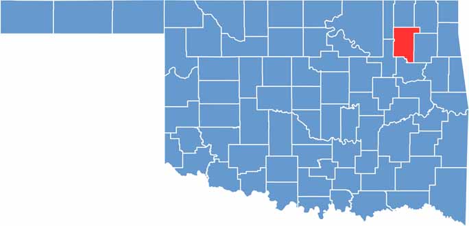
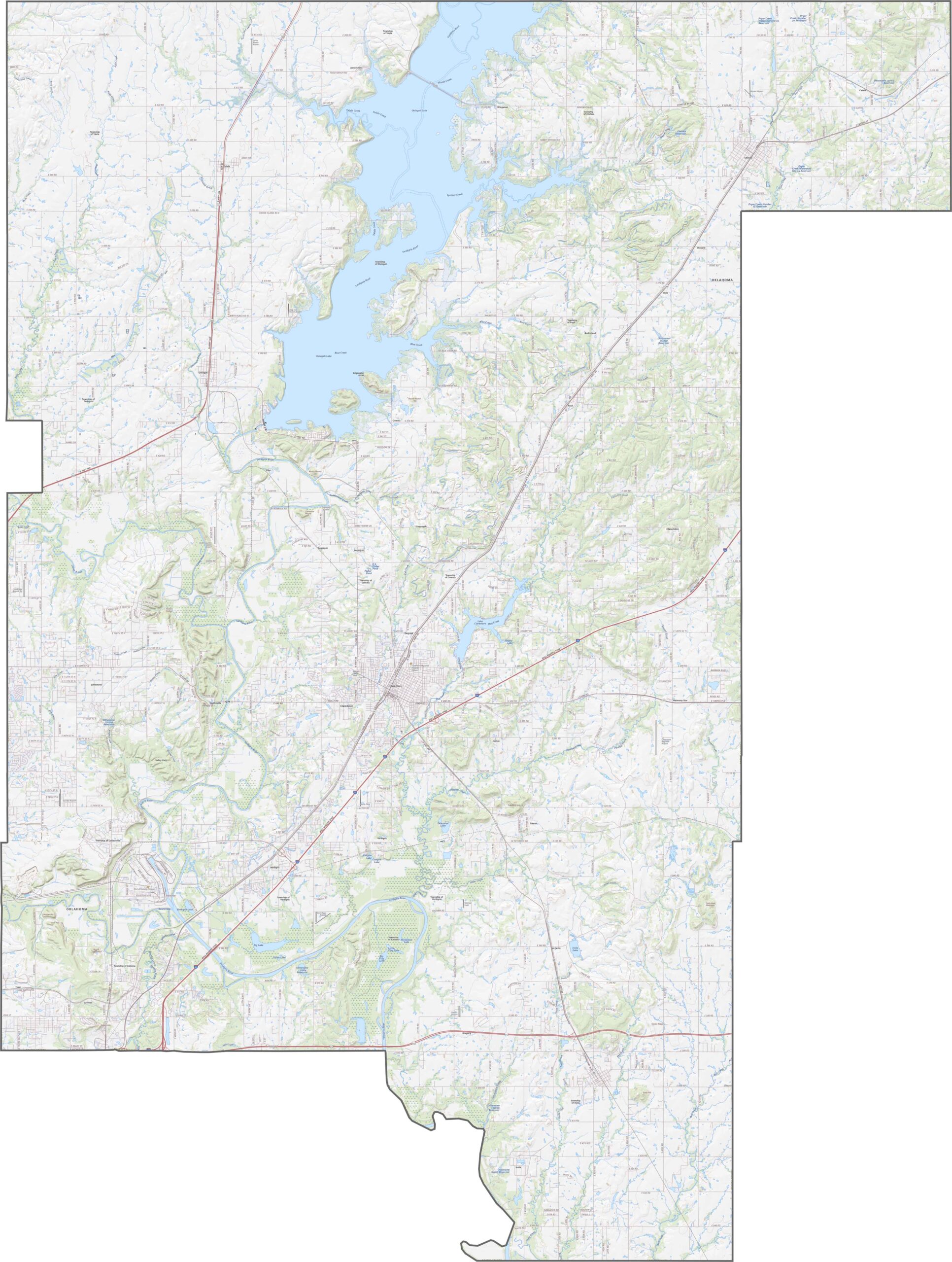
Rogers County sits in northeastern Oklahoma, just a short distance from Tulsa. It’s growing quickly, with Claremore serving as the county seat. Oologah is famous as the hometown of Will Rogers. Yep, that Will Rogers.
The landscape blends rolling hills and flatlands, with the Verdigris River winding through the area. It’s especially beautiful in spring when everything turns green.
The county has a little bit of everything, from farms and suburbs to lakes. Bass fishing is a big deal here—like, really big. Ed Galloway’s Totem Pole Park, near Foyil, is also an important historic attraction.
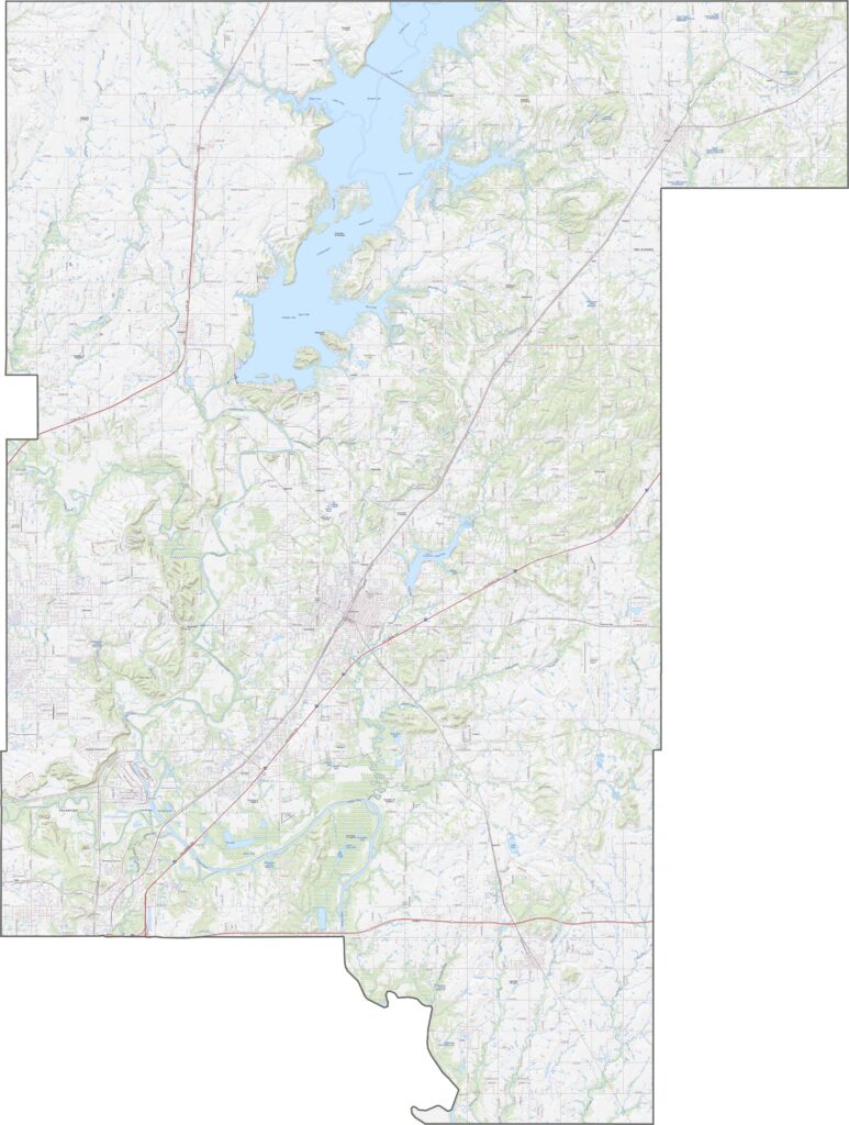
Rogers County has a strong east-west transportation network, with major routes including I-44, State Highway 66, and U.S. 169. While these highways carry most of the traffic, scenic roads still wind through the countryside. Our zoom tool makes it easy to explore the best routes.
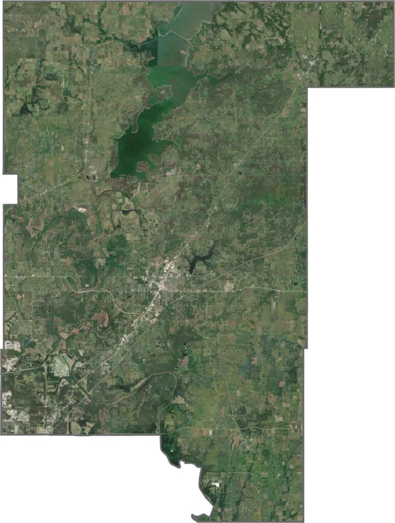
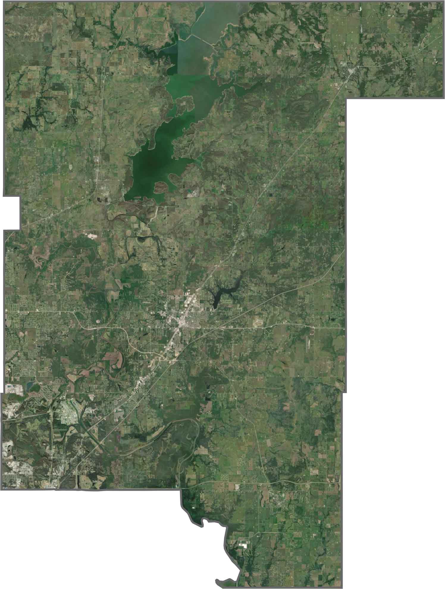
Much of Rogers County appears green from above, with wooded areas, farms, and open pastures covering the landscape. Claremore stands out near the center, with neighborhoods spreading outward. Despite continued development, the county still looks mostly rural from the air.
Rogers County has a loose, angular shape with several notched edges. The Verdigris River follows part of the southeastern boundary. The county does not border another state and sits just northeast of Tulsa County.









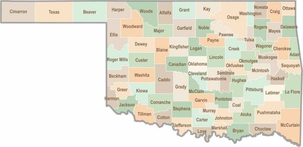
Oklahoma’s 77 counties are all a little different. One might welcome you with a grain elevator, while another greets you with murals, fry bread, and a packed Friday night football crowd.