
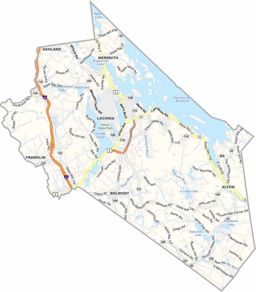
Belknap County is located in the heart of New Hampshire’s Lakes Region. It’s home to Lake Winnipesaukee, the largest lake in the state. Laconia serves as the county seat and hosts the annual Motorcycle Week, one of the country’s oldest motorcycle rallies.
The county features a mix of small towns and rural areas. Gunstock Mountain Resort offers skiing during the winter and hiking in the summer. The county is named after Jeremy Belknap, a clergyman and historian.
Fishing is a favorite local pastime. Wolfeboro, considered America’s oldest summer resort town, lies partly within the county. Belknap County brings together scenic lakeside views and mountain trails for a classic New Hampshire experience.
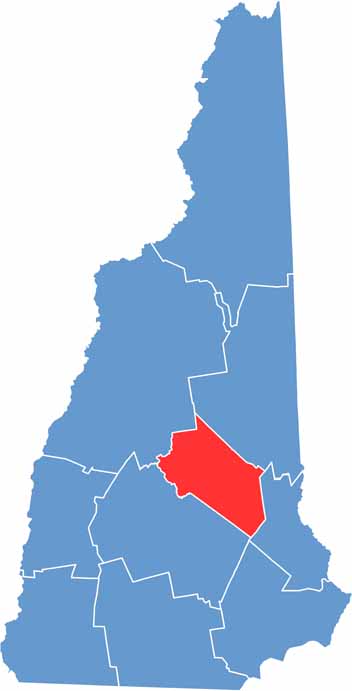
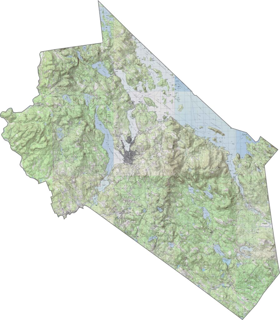
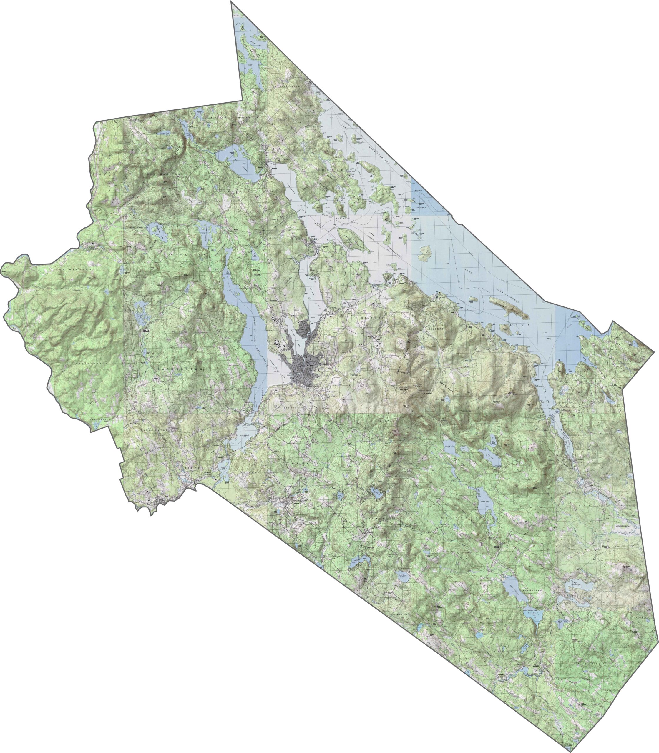
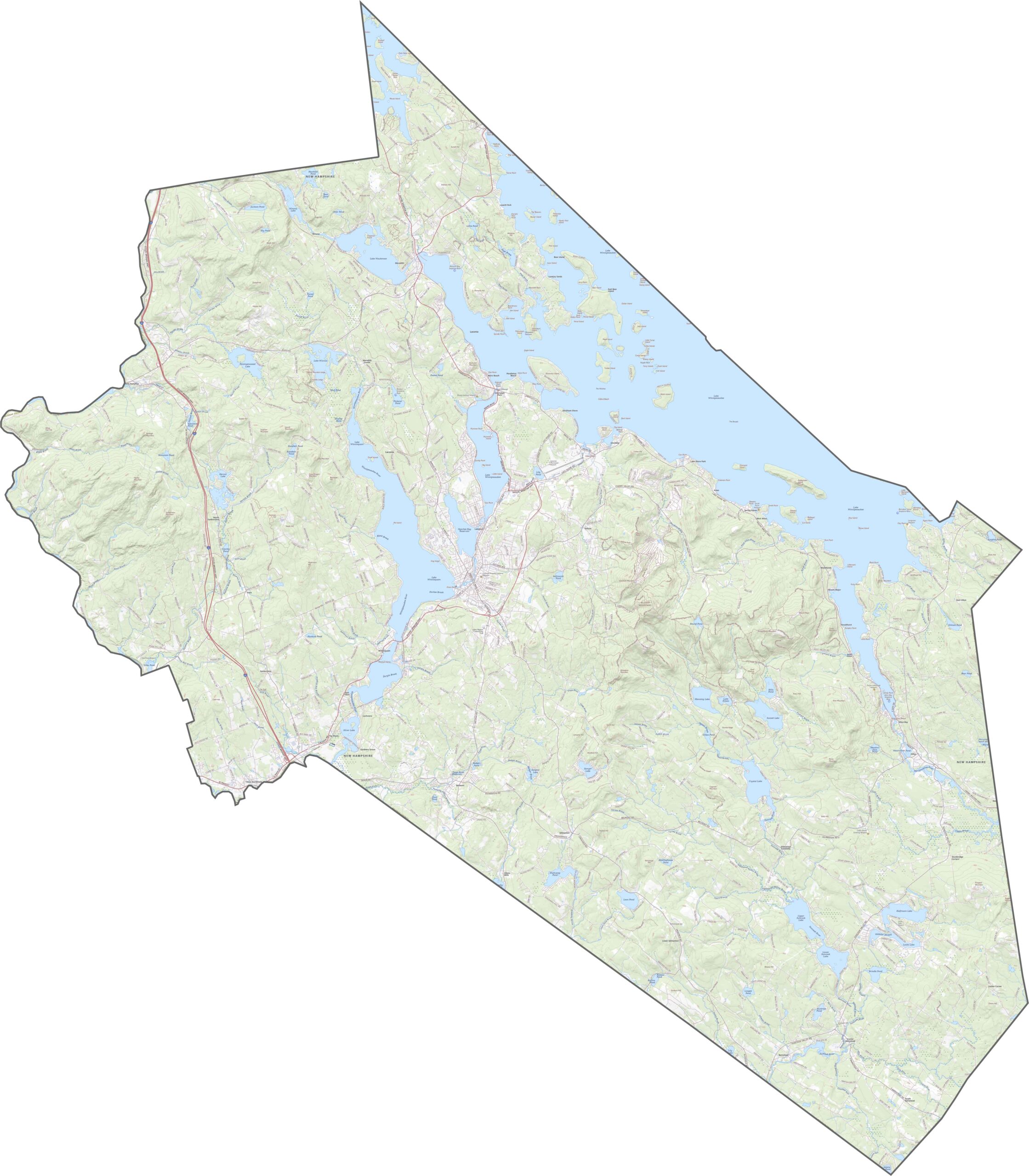
Belknap County has a hilly landscape, especially around the lake, with elevation changing quickly across the area. The Belknap Mountains rise near the center, while lower elevations follow the shoreline. Slopes transition into pockets of flatter land, and towns are often found in the valleys. The terrain is rugged but still easily accessible.
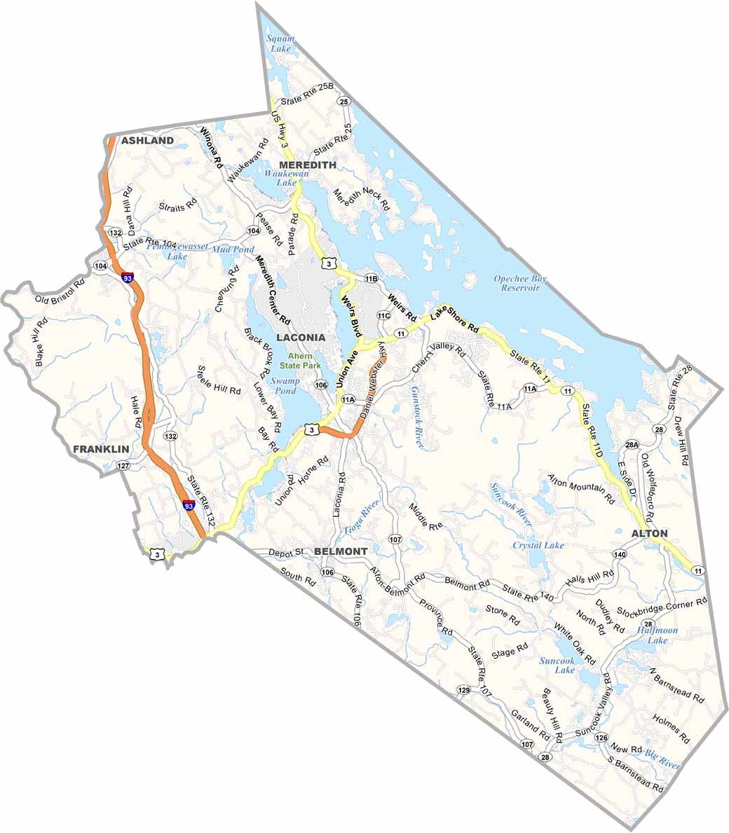
The main routes through Belknap County include I-93, Route 3, and NH Route 11, which runs along Lake Winnipesaukee. While the road network isn’t especially large, state highways provide access to most towns. Our road map includes a zoom tool for taking a closer look at the highways throughout the county.
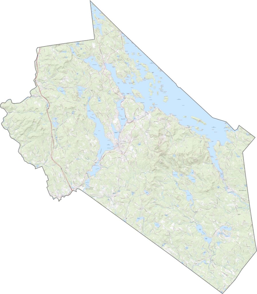
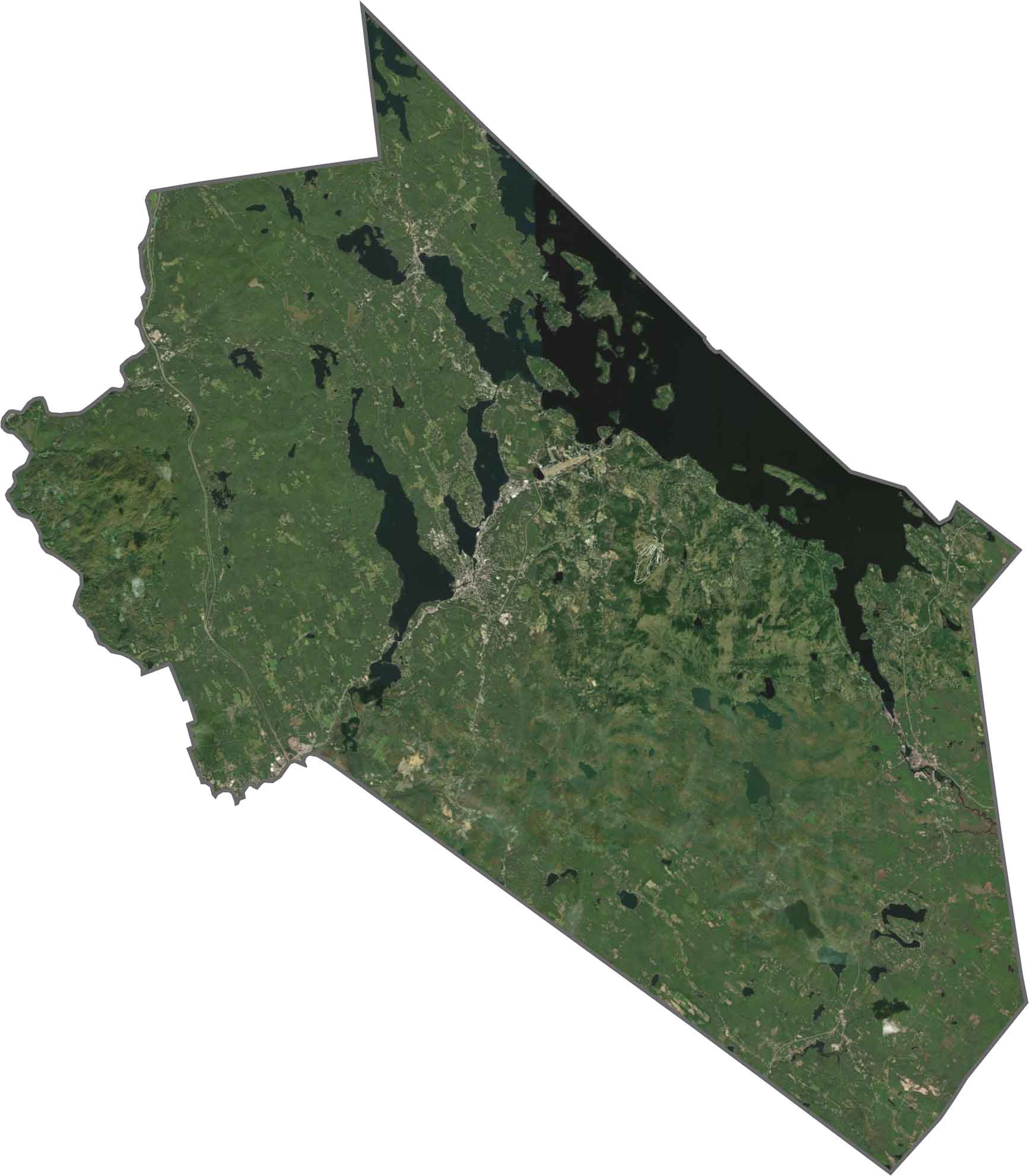
Lake Winnipesaukee dominates the eastern part of the satellite map, with its many inlets and islands clearly visible. Forests cover much of the surrounding land, while communities such as Laconia create breaks in the greenery. Although development is present, the natural landscape remains prominent.
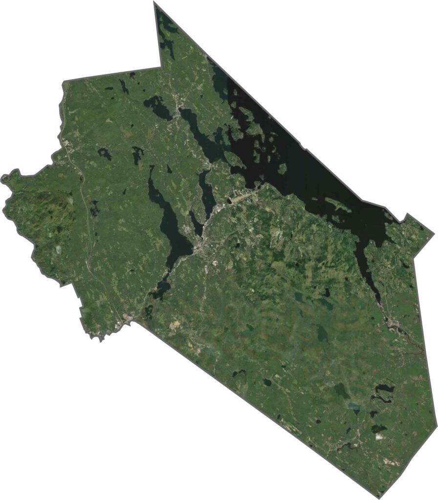
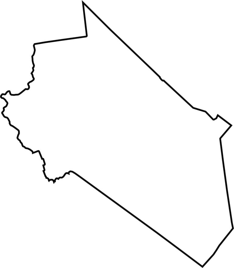
Belknap County has an irregular shape, with boundaries that follow a combination of land and water features. It does not border another state and sits near the center of New Hampshire.
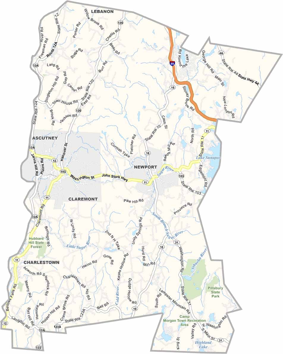
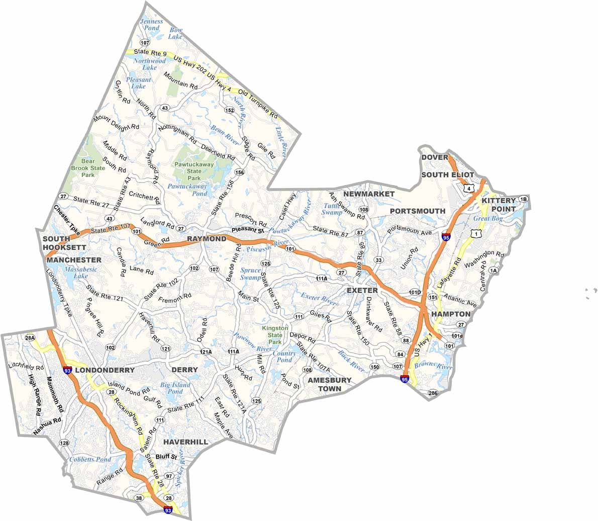

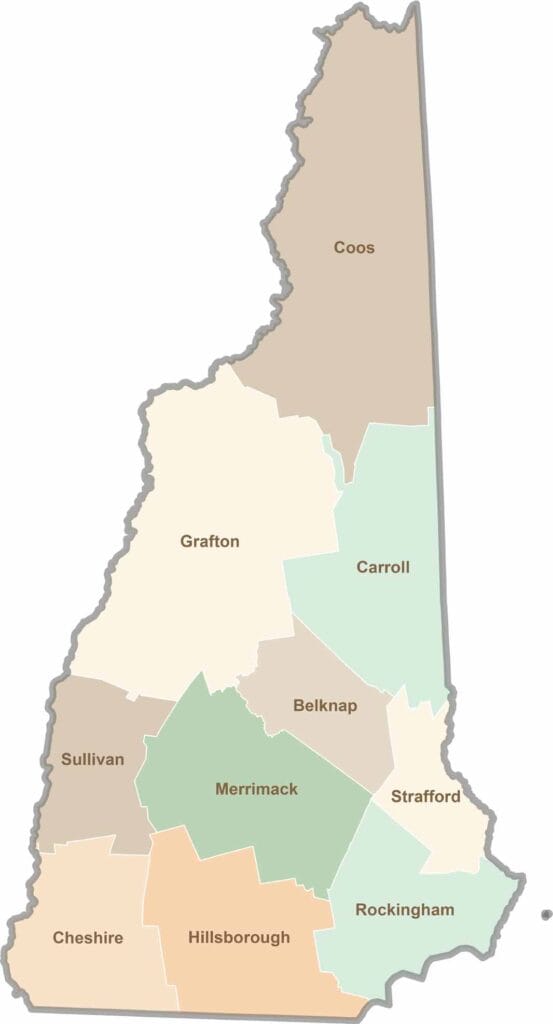
Discover the Granite State, home to 10 counties packed with mountain switchbacks, colonial villages, and Atlantic winds. Enjoy maple syrup mornings, moose crossings, and so much more.