
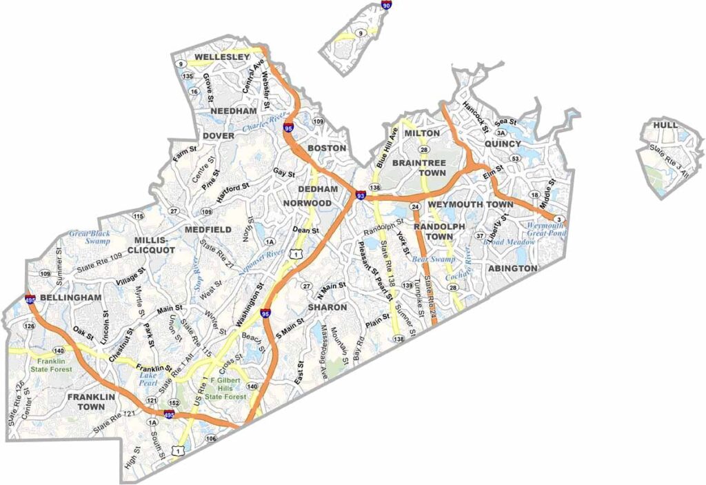
Just south of Boston, Norfolk County offers a part of Massachusetts filled with history. The county stretches from busy suburbs to quieter, more rural communities.
It’s a place where you can follow in the footsteps of presidents. John Adams and John Quincy Adams both called this county home. Quincy, known as the “City of Presidents,” is the county’s largest city and a lively center of activity.
The Blue Hills Reservation provides an easy escape into nature, with hiking trails and scenic views. It’s a great way to forget how close you are to the big city. Norfolk County’s towns each have their own character. Brookline and Dedham bring a touch of small-town New England, while places like Medfield and Dover offer a similar feel.
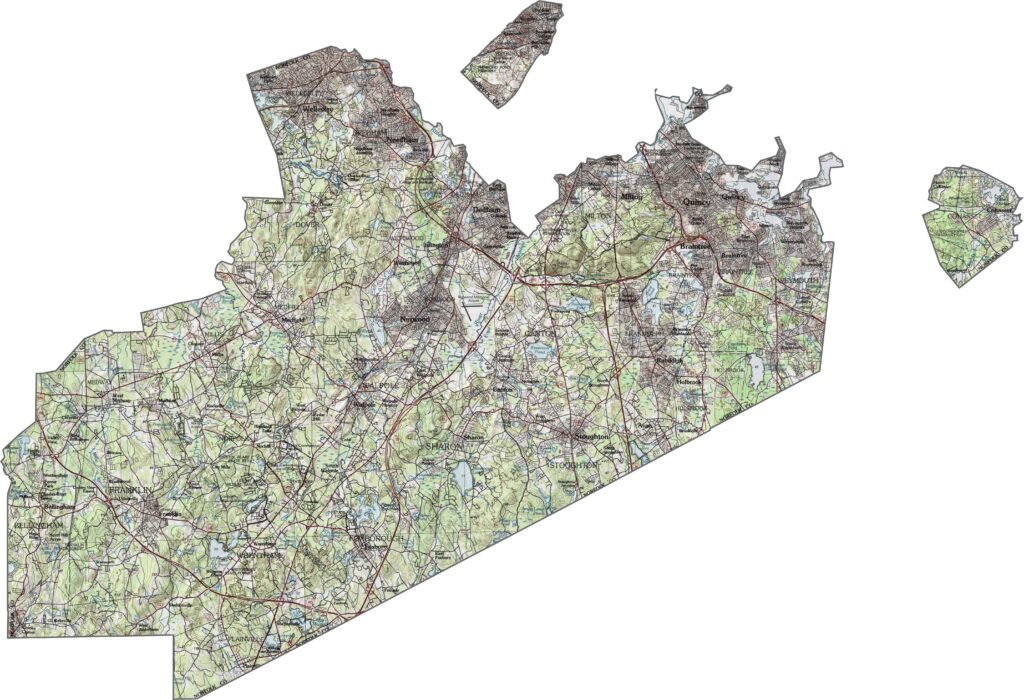
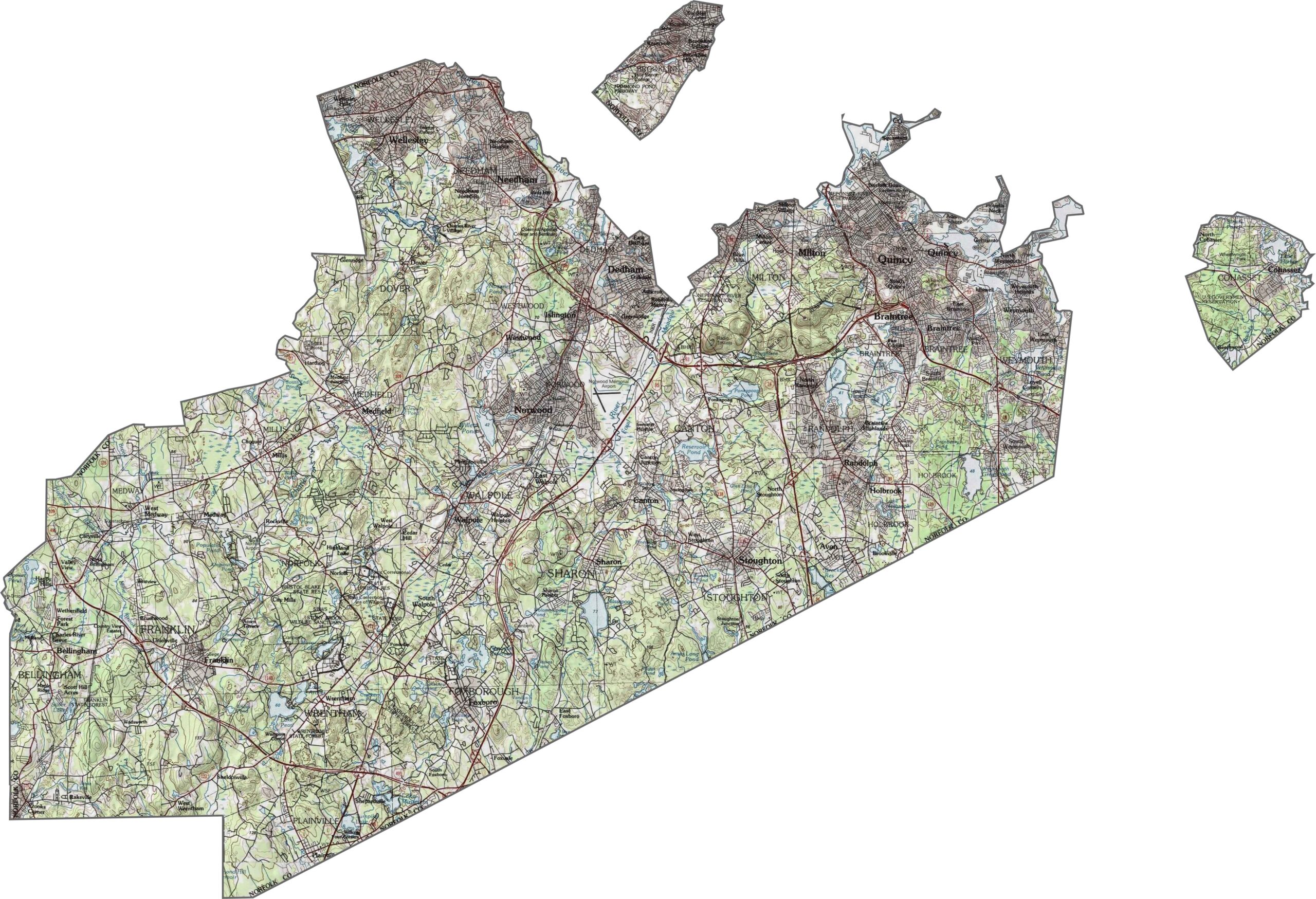
Use our topographic map to explore the terrain of Norfolk County. Rolling hills and river valleys shape the landscape, while the Blue Hills Reservation stands out with its steeper slopes. Elevation changes are fairly modest, but they add plenty of texture to the topo map.
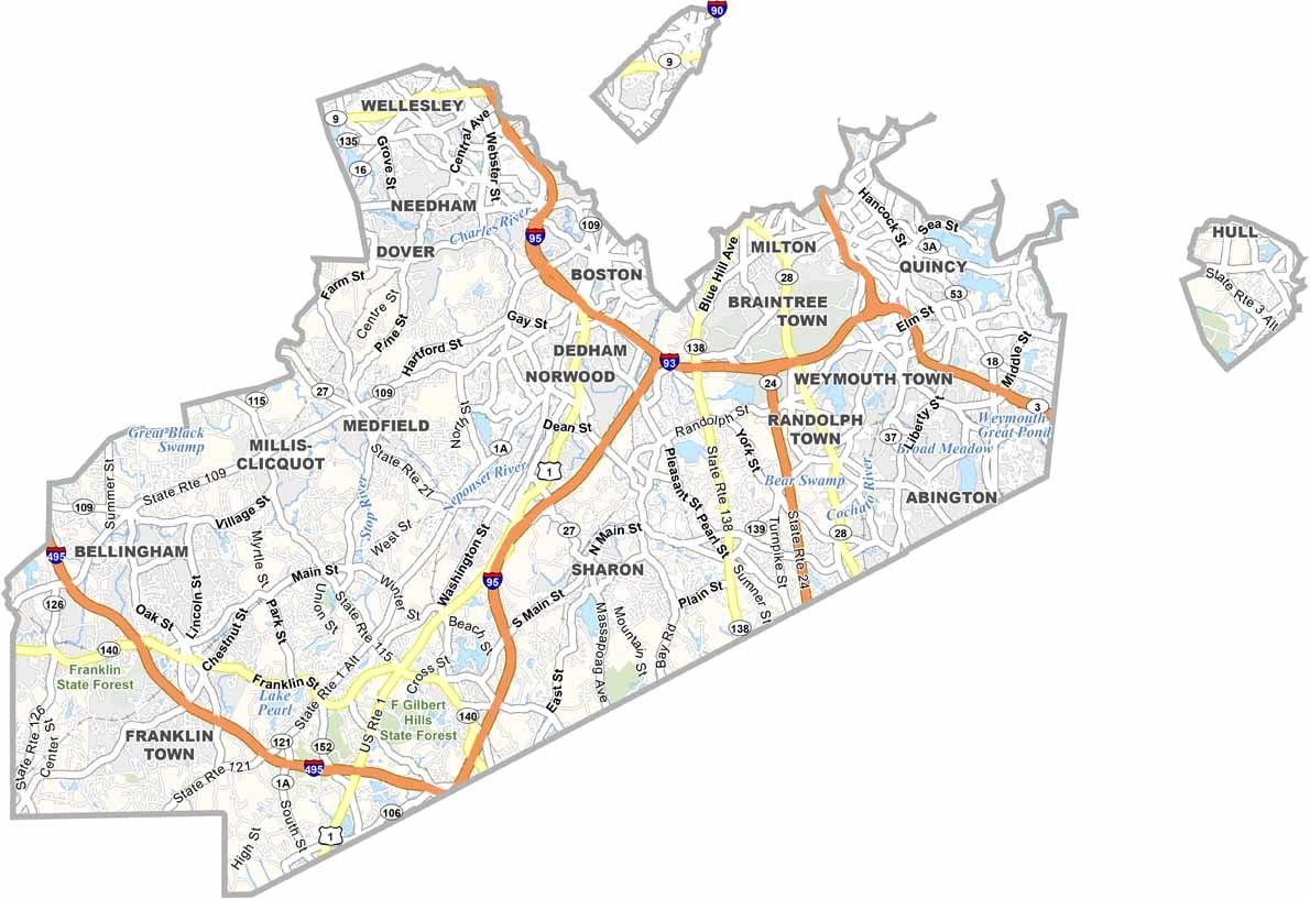
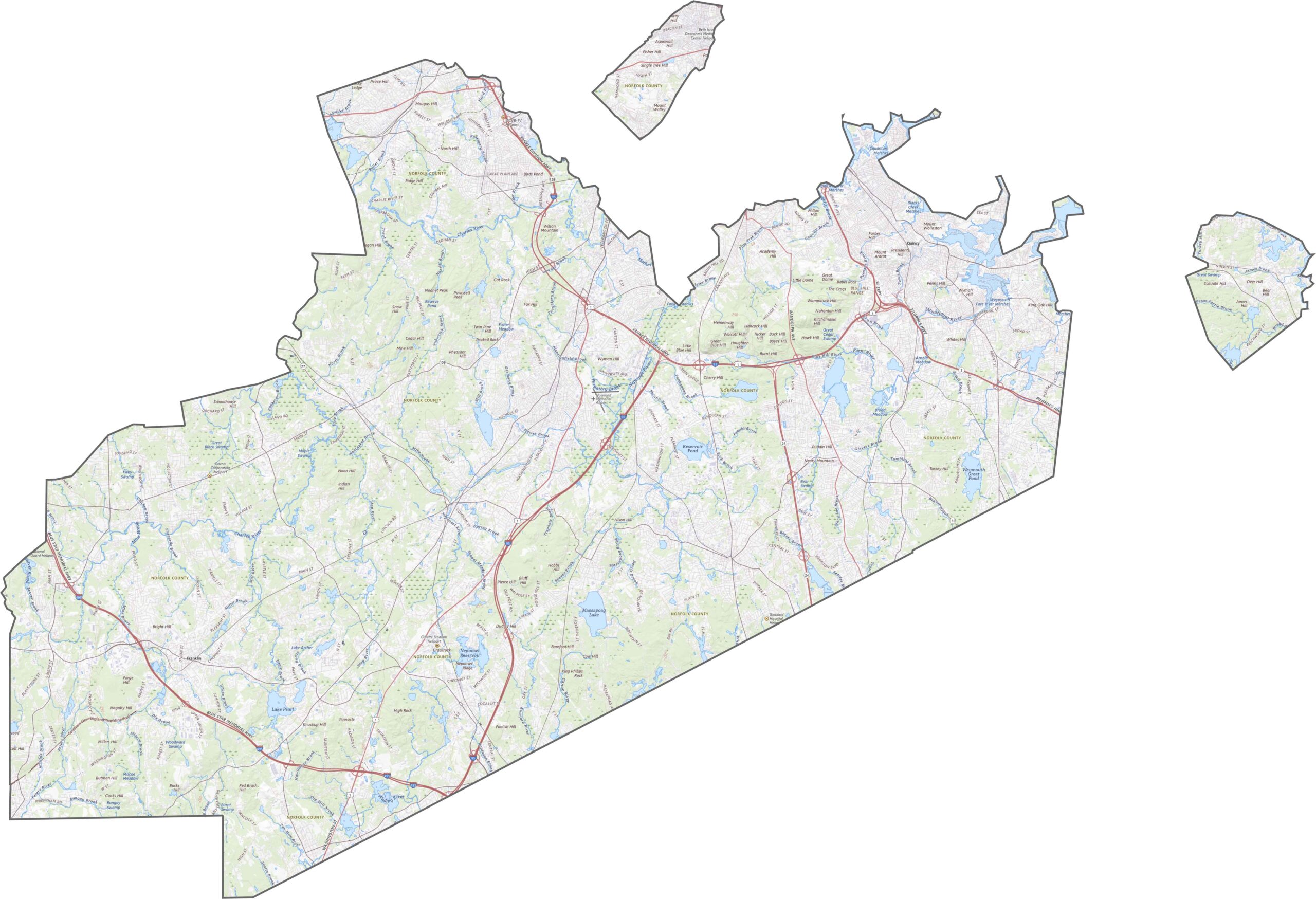
Norfolk County has an extensive network of roads. With Boston just to the north, major routes such as I-95, I-93, and Route 1 cross the area. Despite having plenty of highways, traffic can often build up along the main corridors. Still, the county has excellent access in every direction, with local roads and commuter rail completing the transportation network.
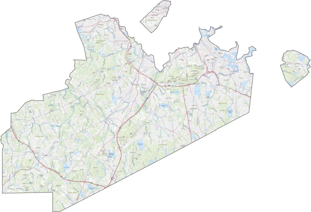
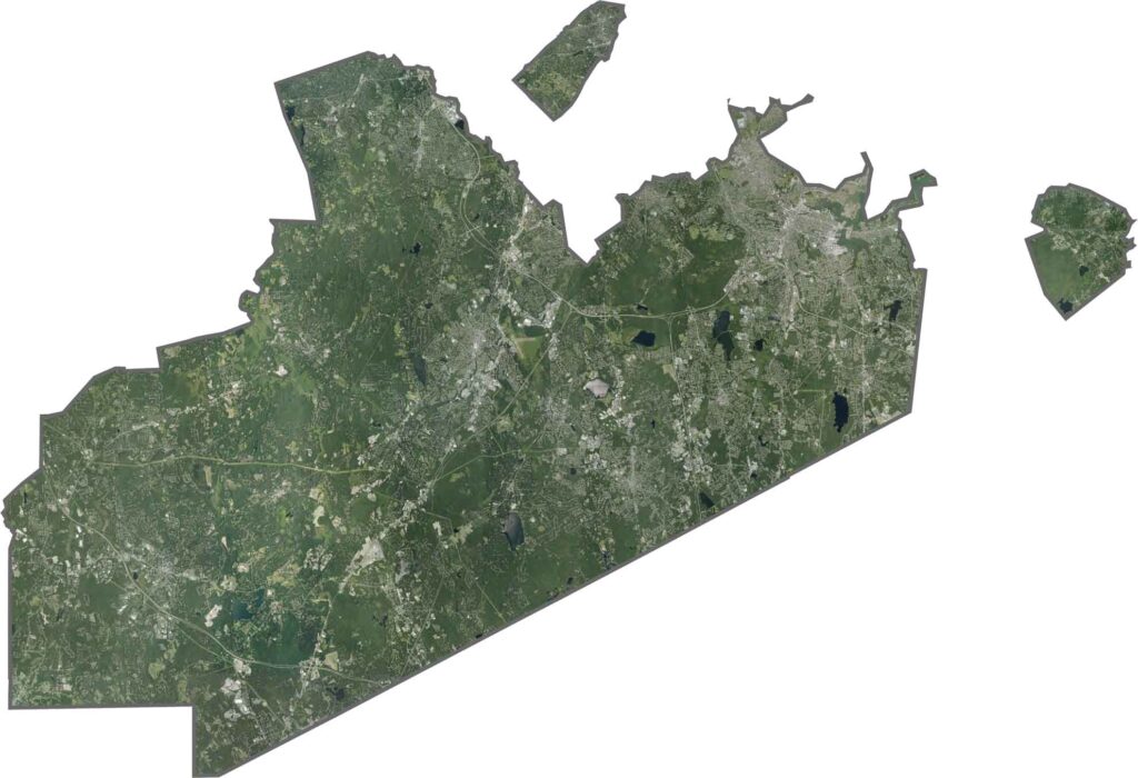
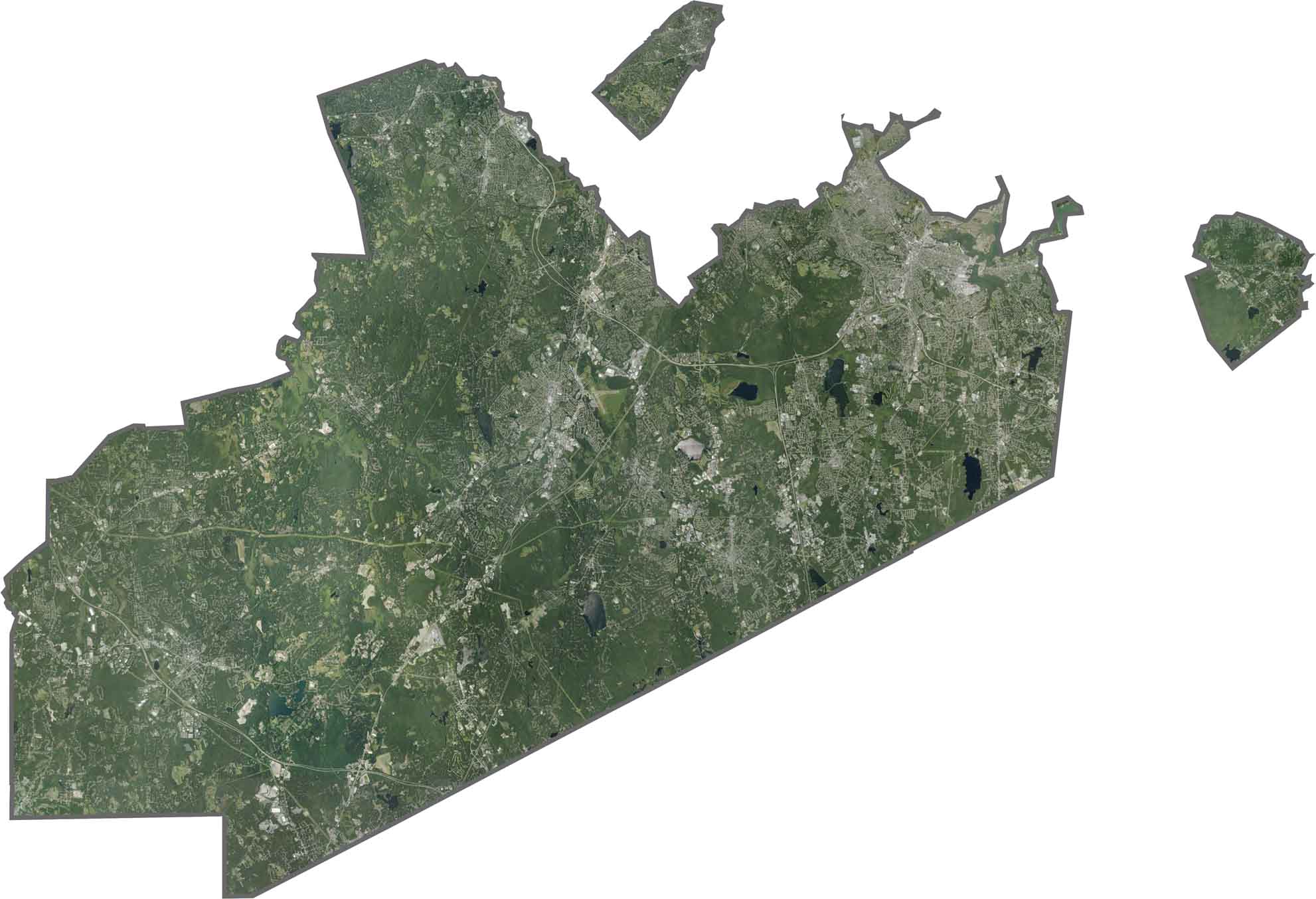
Suburbs and towns cover much of the image, while forests remain visible, especially in protected areas. Major highways cut across the landscape, and the Neponset River curves along the northern edge.
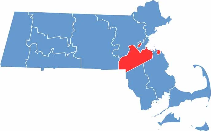
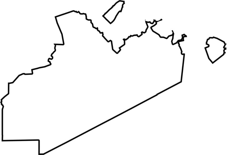
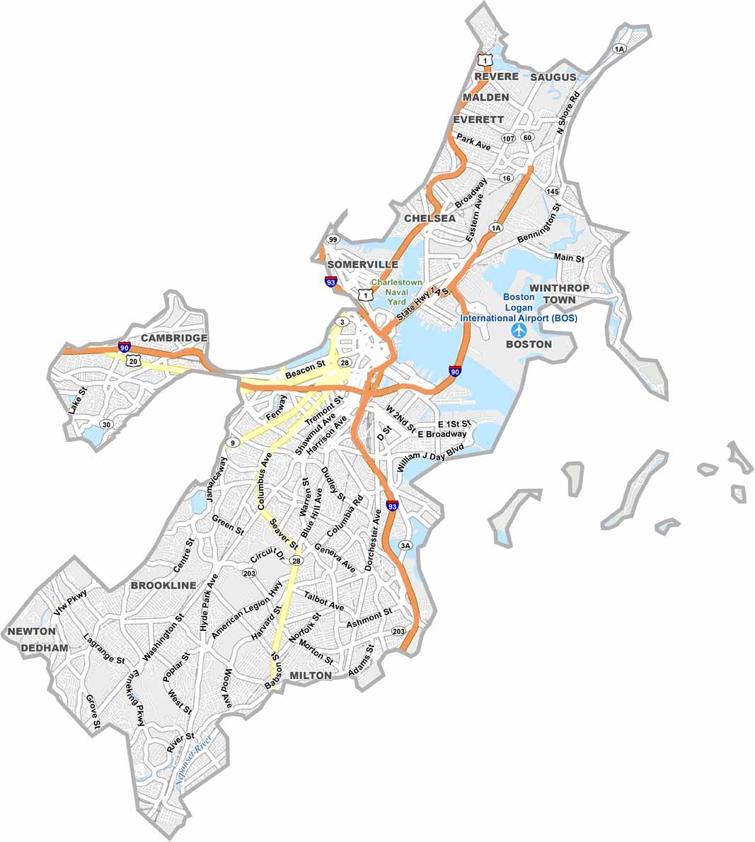
Norfolk County has an irregular shape and includes two exclaves, Cohasset and Brookline. It borders Suffolk County and the state of Rhode Island.
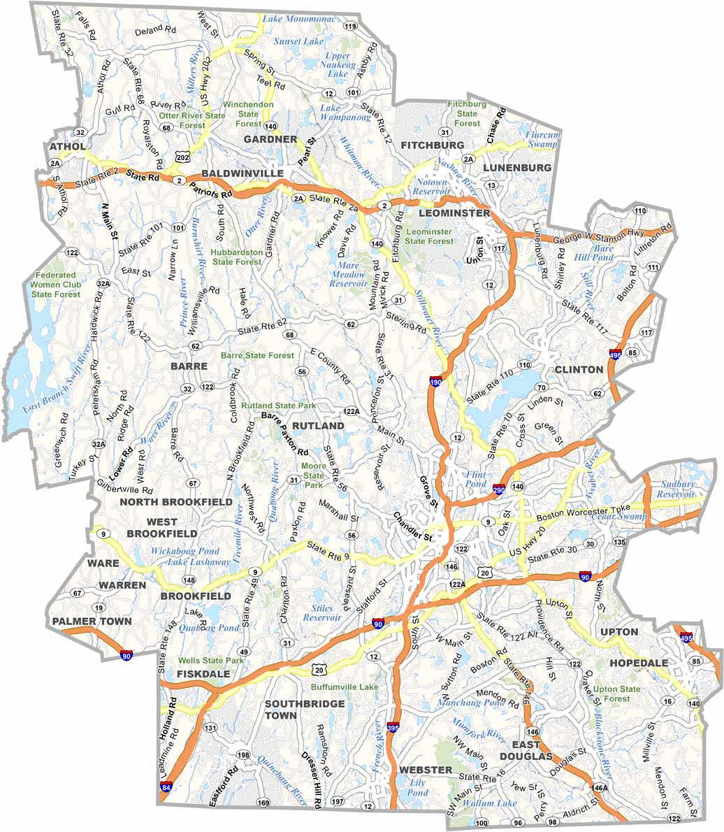
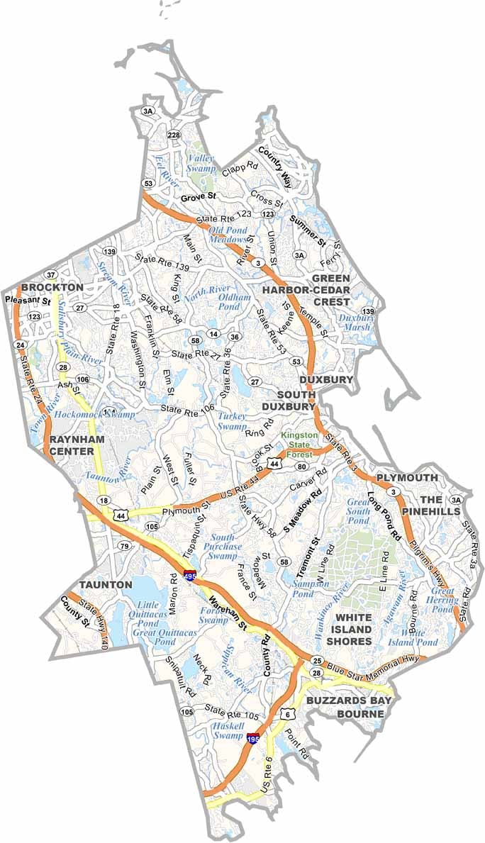


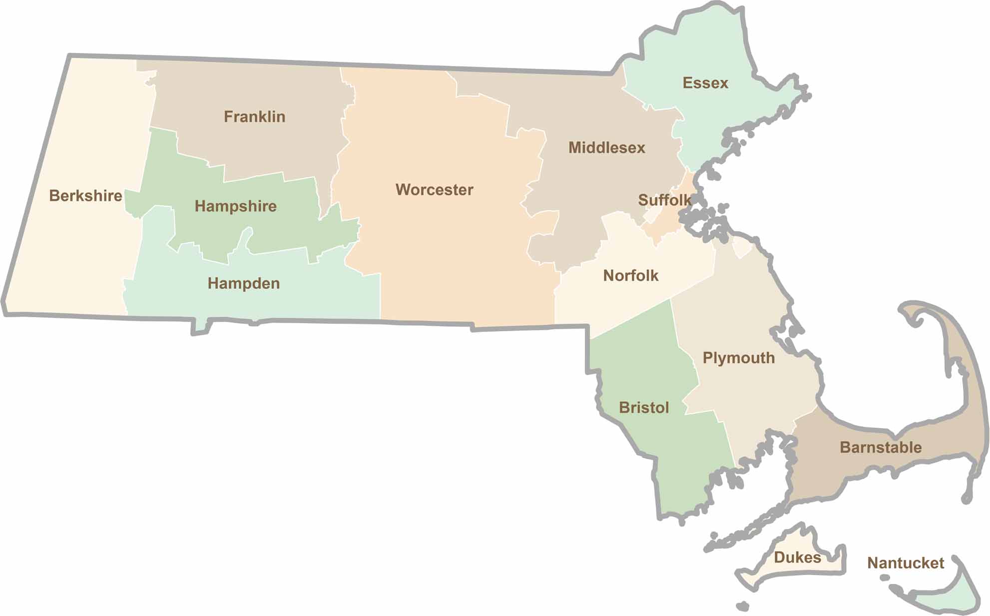
Small state, big personality. Boston’s skyline is packed with history, while the Cape delivers beach days and lobster rolls. Massachusetts brings together history, culture, and coastline across its 14 counties.