
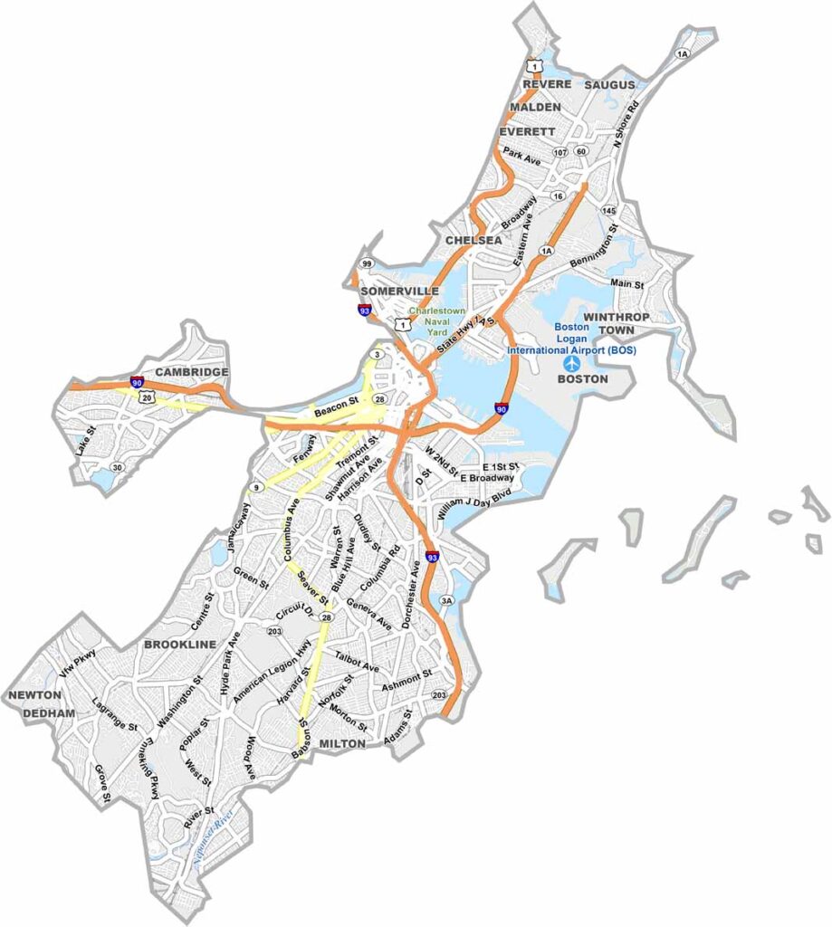
Suffolk County sits in eastern Massachusetts, with Boston at its heart. This historic area blends old-world charm with a modern vibe.
From the cobblestone streets of Beacon Hill to the Italian flavors of the North End, Suffolk County is a feast for the senses. It’s home to historic institutions such as Harvard Medical School and the USS Constitution.
The county’s beaches offer a perfect escape from city life. Fenway Park is the legendary home of the Red Sox, while Suffolk’s diversity shines through its many neighborhoods, each with its own unique character. The Museum of Fine Arts also houses world-class collections.
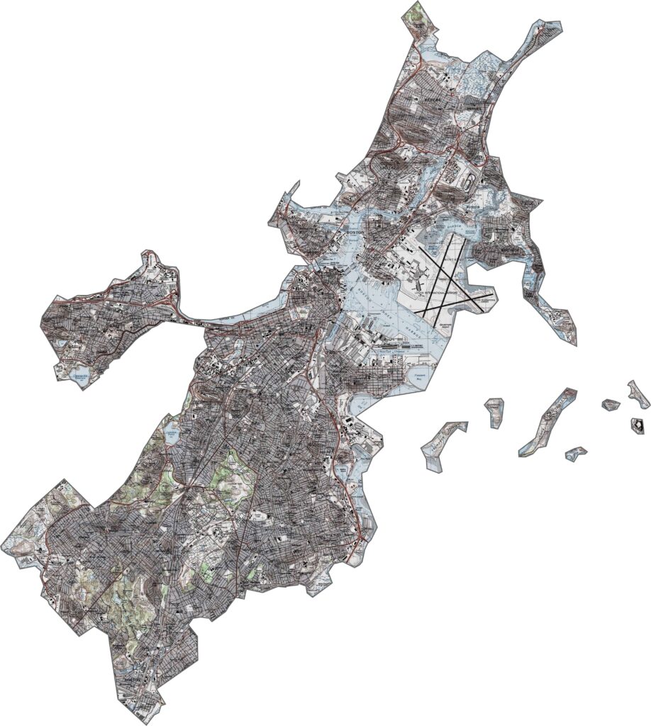
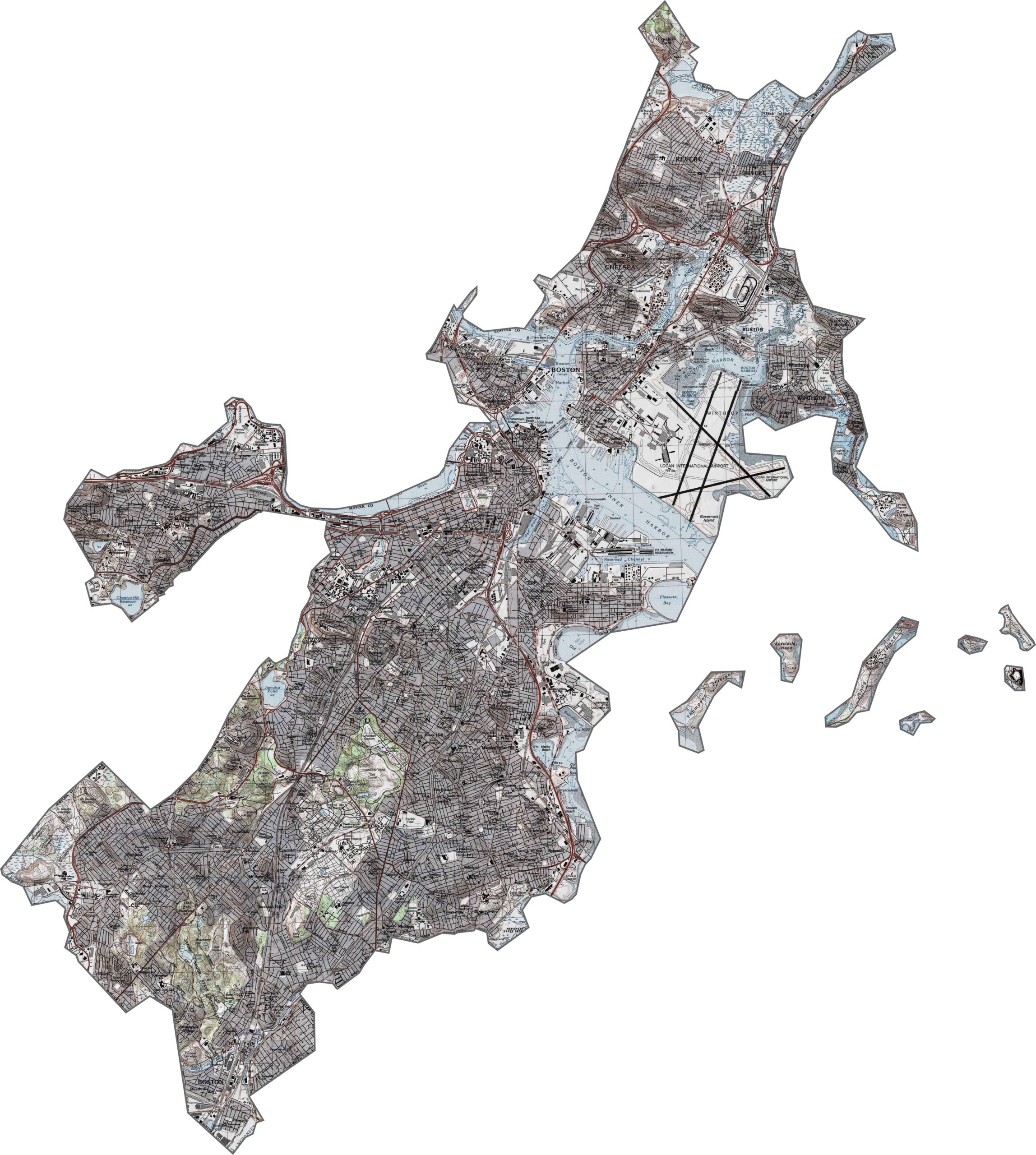
Suffolk County is mostly low-lying, with gentle rises farther inland. Beacon Hill and other elevated areas around the city create subtle changes in elevation. Our topo map highlights the mix of flat shoreline and urban hills. You can zoom in to explore every river and overpass with our map tool.
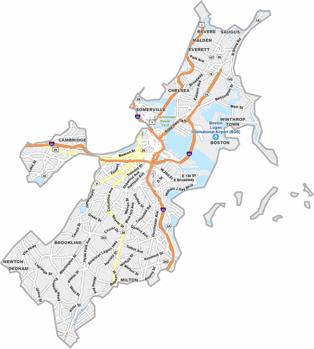
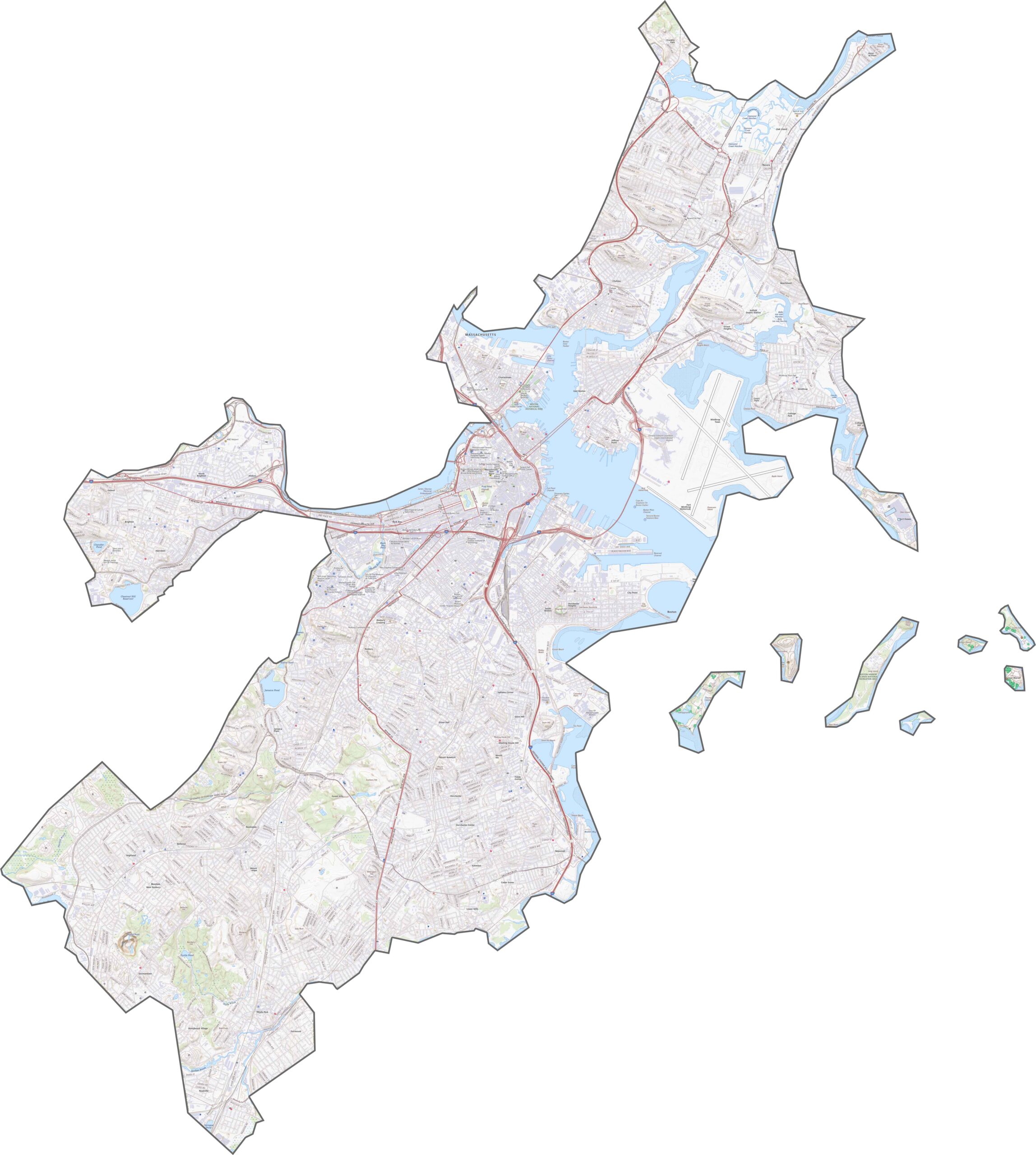
Suffolk County includes downtown Boston, so the area is filled with roads, ramps, and major routes. I-93 and I-90 meet in the heart of the city. Although the road system is dense, traffic bottlenecks are common. Local streets wind through historic neighborhoods, especially around the harbor. Despite the congestion, major routes help keep the region connected.
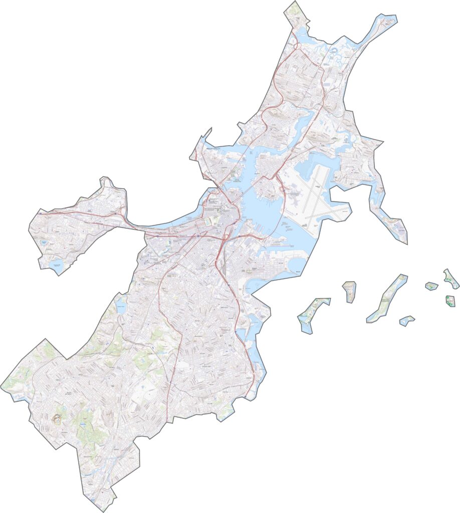
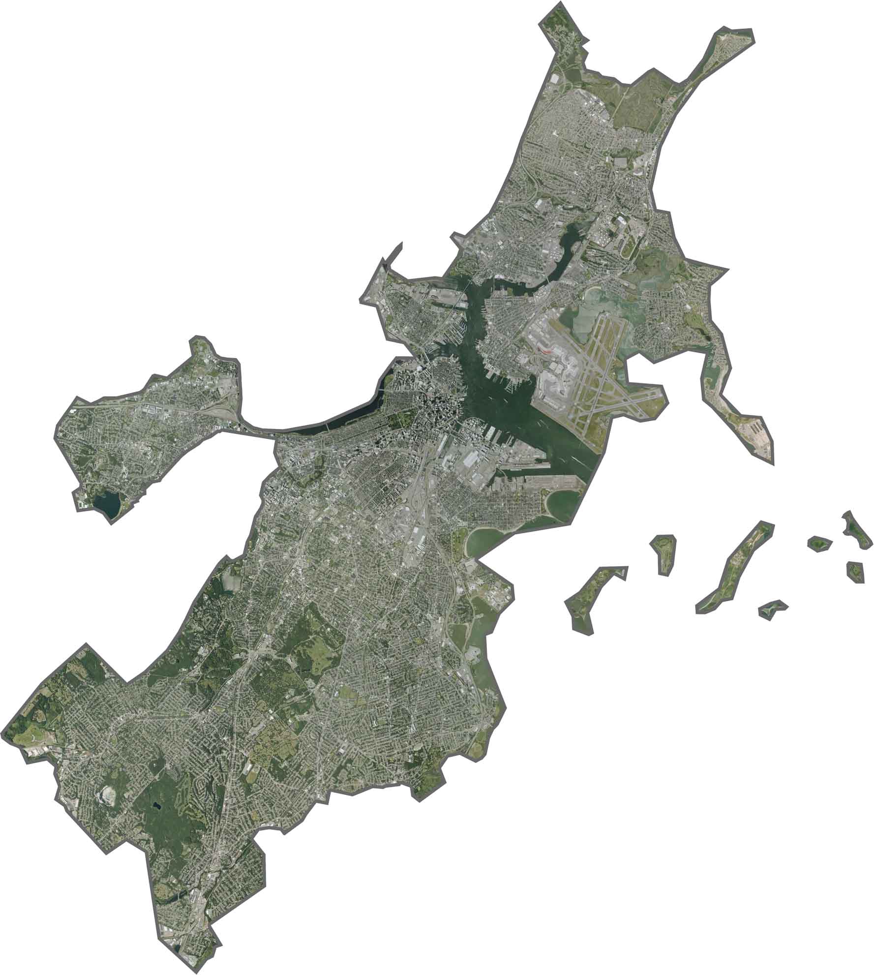
Dense urban development covers much of the view. The Charles River provides a prominent visual landmark. Patches of green, including Boston Common, stand out among the surrounding rooftops. Bridges and inlets are also easy to see.
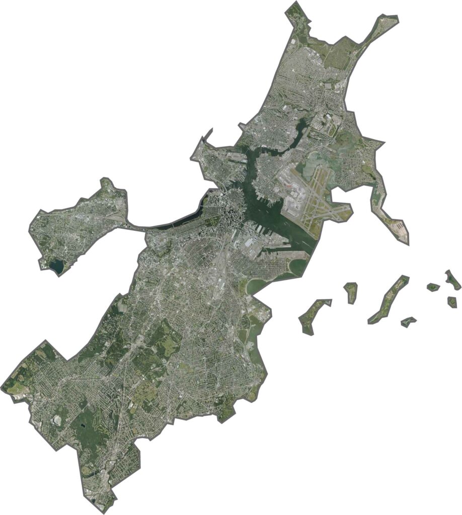
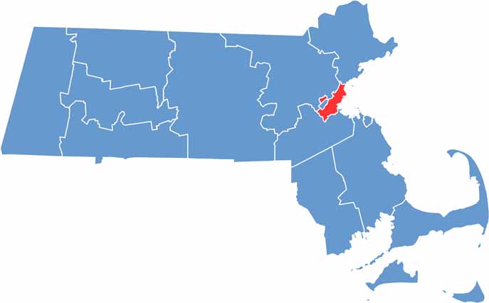
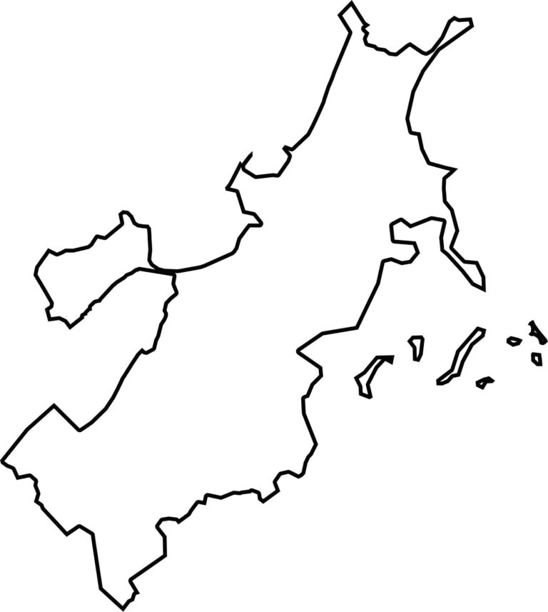
Suffolk County is small and coastal, bordering Massachusetts Bay. Its irregular shape is partly influenced by the inlets and reclaimed land. The county is surrounded by Norfolk, Middlesex, and water. The Charles River forms part of its boundary.
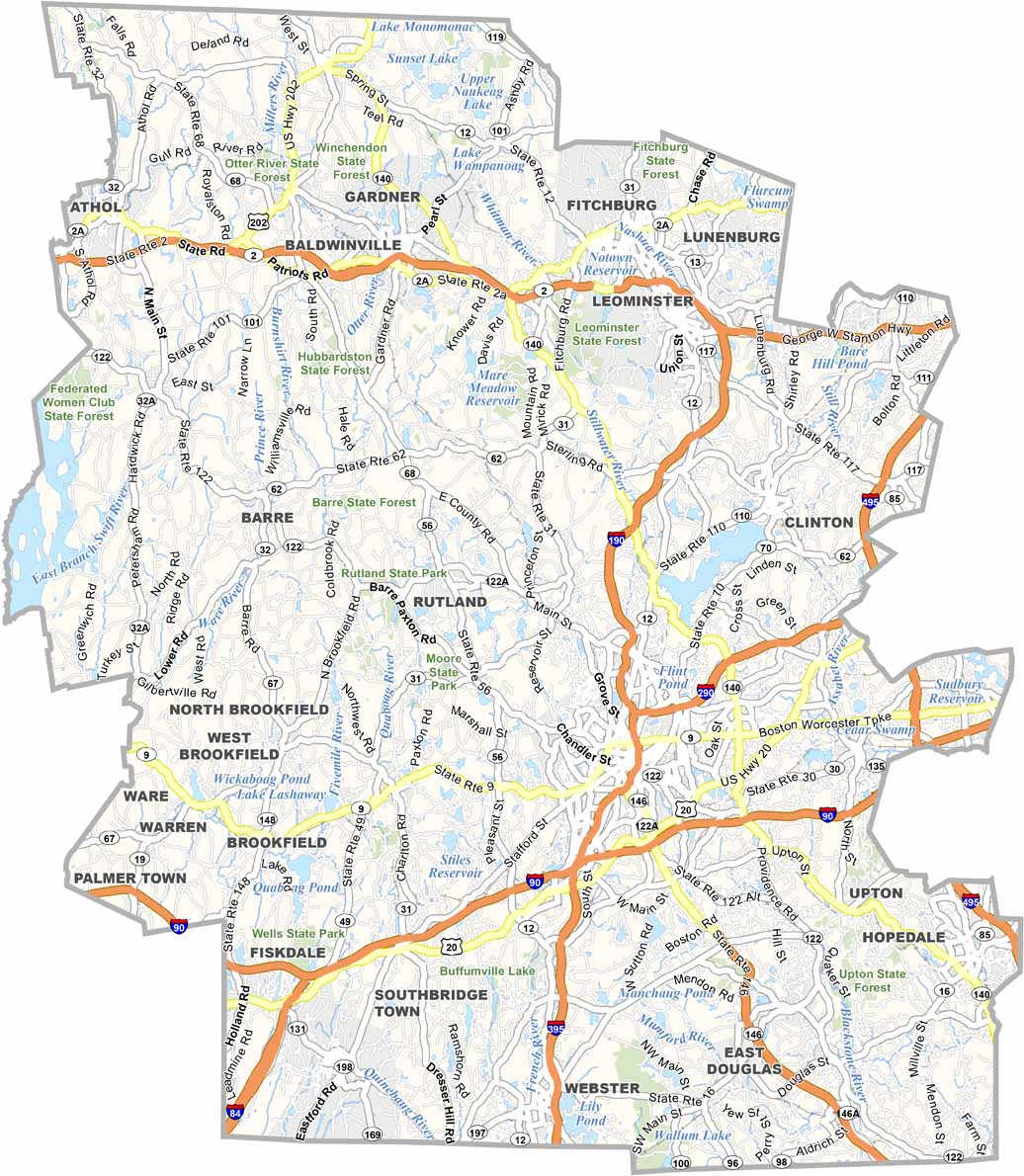
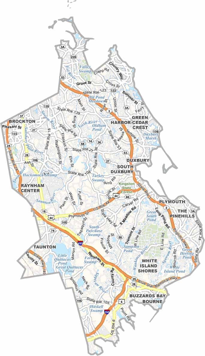


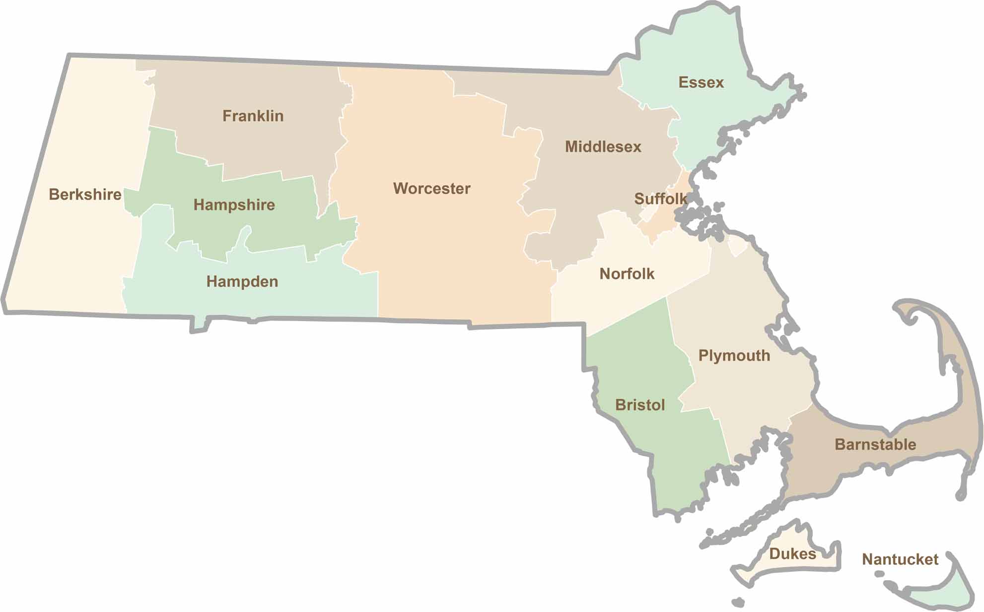
Small state, big personality. Boston’s skyline is packed with history, while the Cape delivers beach days and lobster rolls. Massachusetts brings together history, culture, and coastline across its 14 counties.