
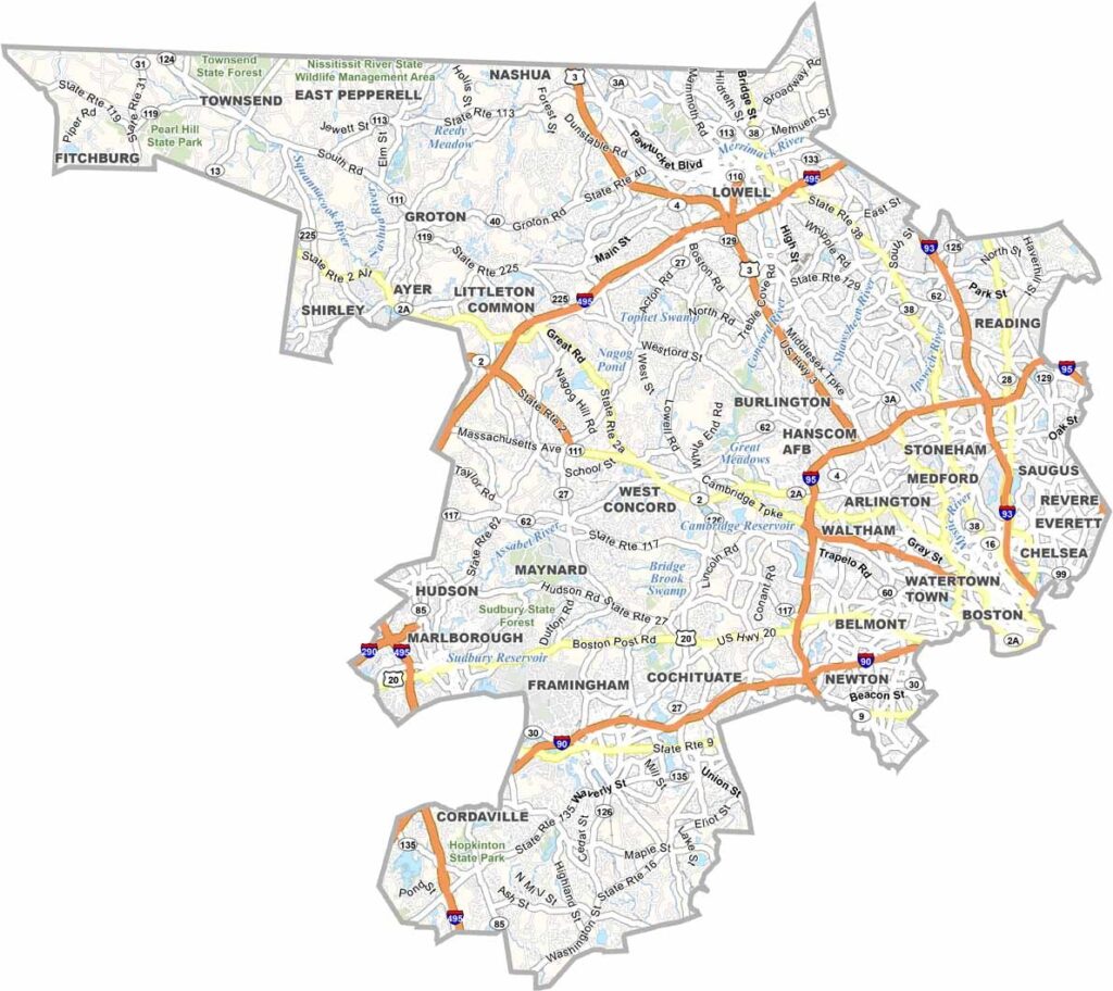
Middlesex County sits just north of Boston. It’s the most populous county in Massachusetts, stretching from the capital’s suburbs to peaceful towns along the New Hampshire border.
Lowell was once a major center of the Industrial Revolution. Today, it has transformed into a cultural hub. Cambridge, home to Harvard and MIT, is filled with intellectual energy.
Revolutionary War sites can be found throughout the county, reminding visitors of the area’s role in shaping the nation. The county’s diversity also comes through in its food scene. Despite its size and variety, Middlesex County retains a strong sense of community and continues to play an important role in local governance.
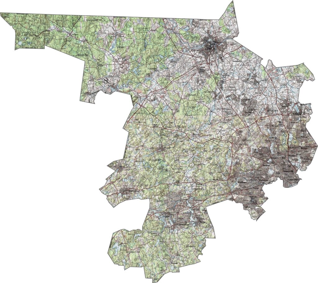
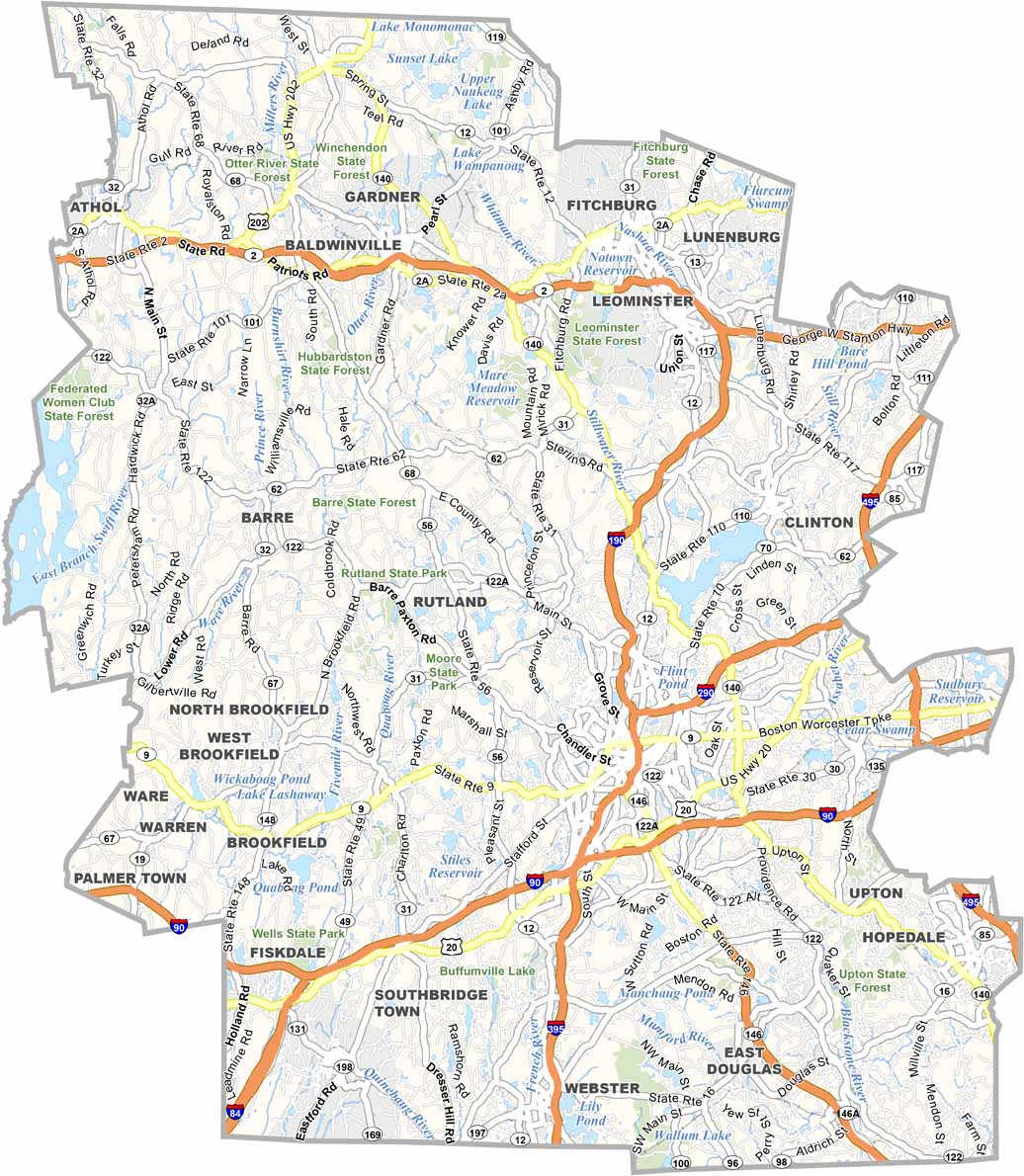
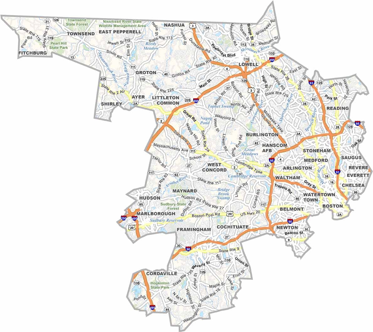
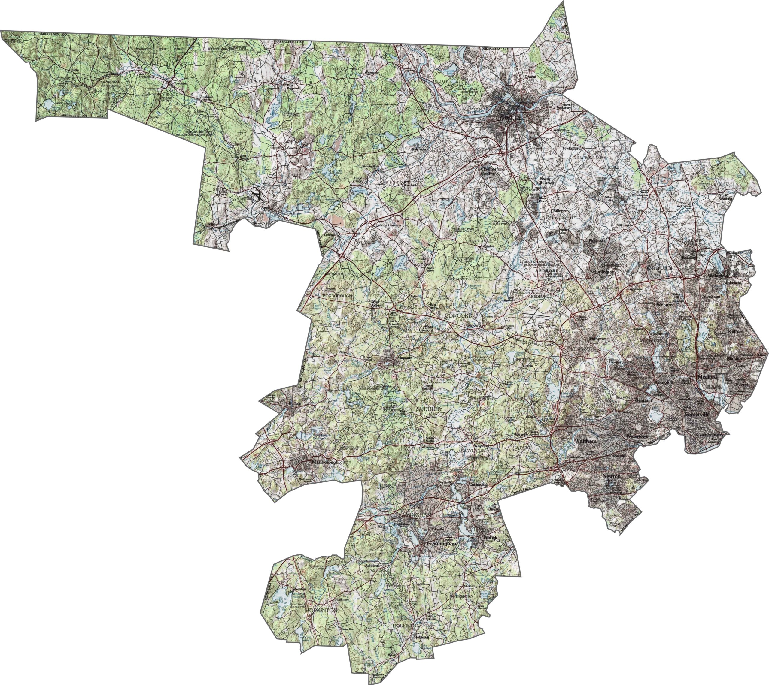
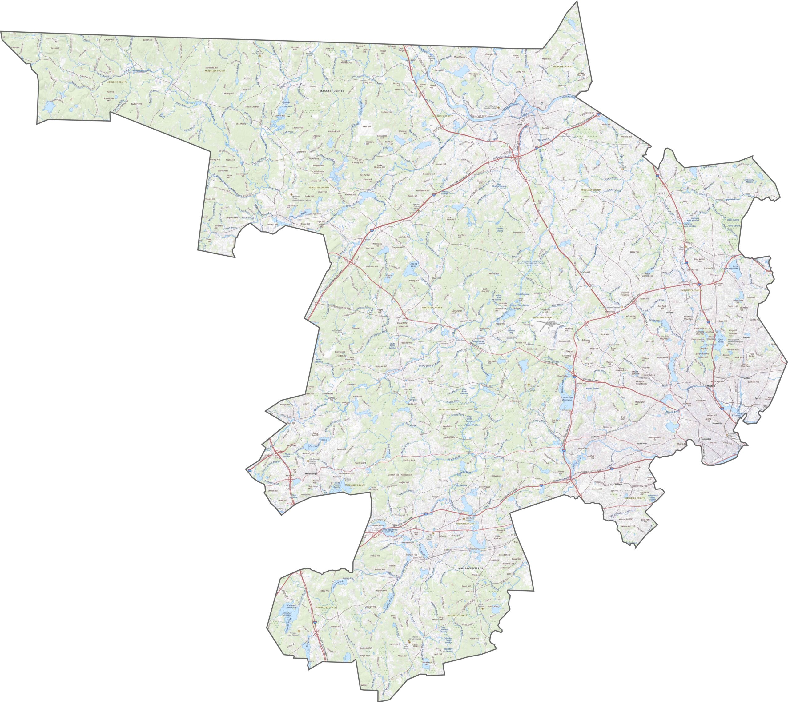
Middlesex County features varied terrain, with hills rising in the northwest while much of the landscape remains gently rolling. Rivers and small lakes break up the terrain, creating subtle changes in elevation that are easy to spot on the map. Our zoom tool lets you explore the entire network in detail.
Middlesex County has an extensive network of major roads. I-95 and I-495 curve around the outer areas, while Routes 2 and 3 cross through the county. Some stretches move quickly, but traffic can become heavy near Boston. Even so, road access is excellent, with local roads filling the gaps and commuter routes running throughout the area.
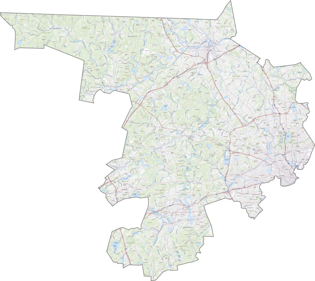
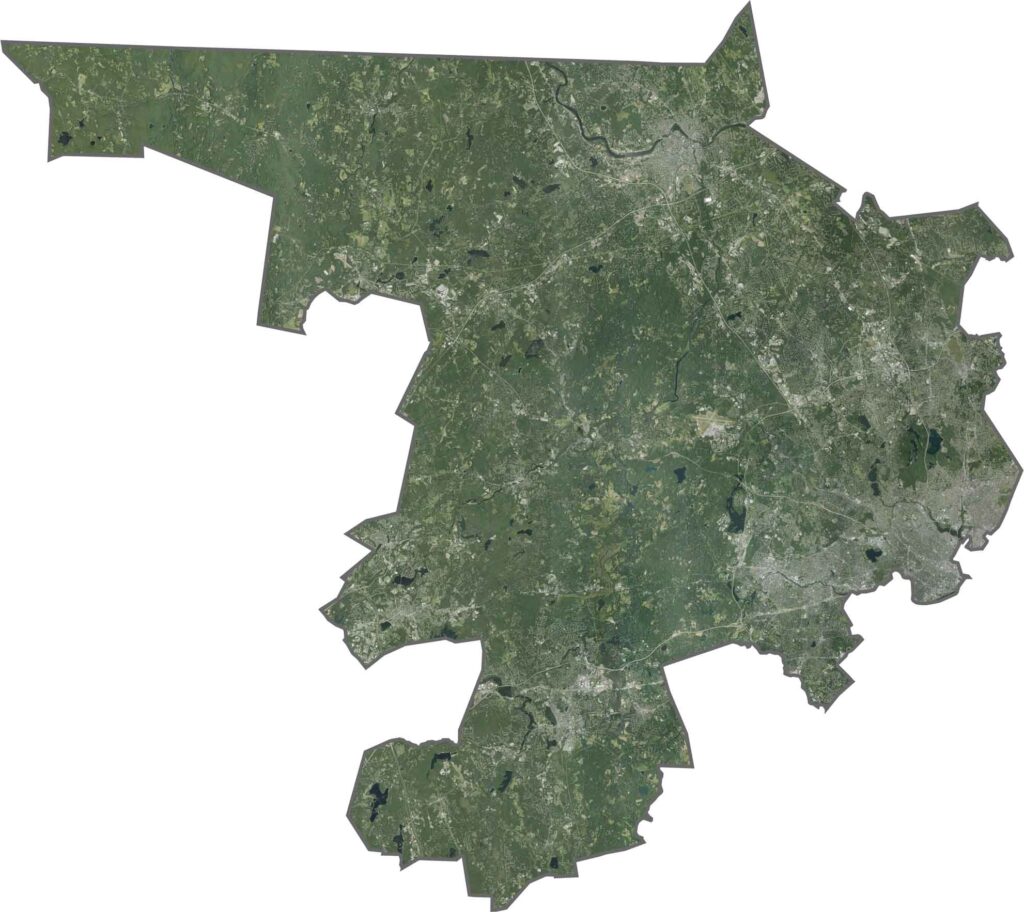
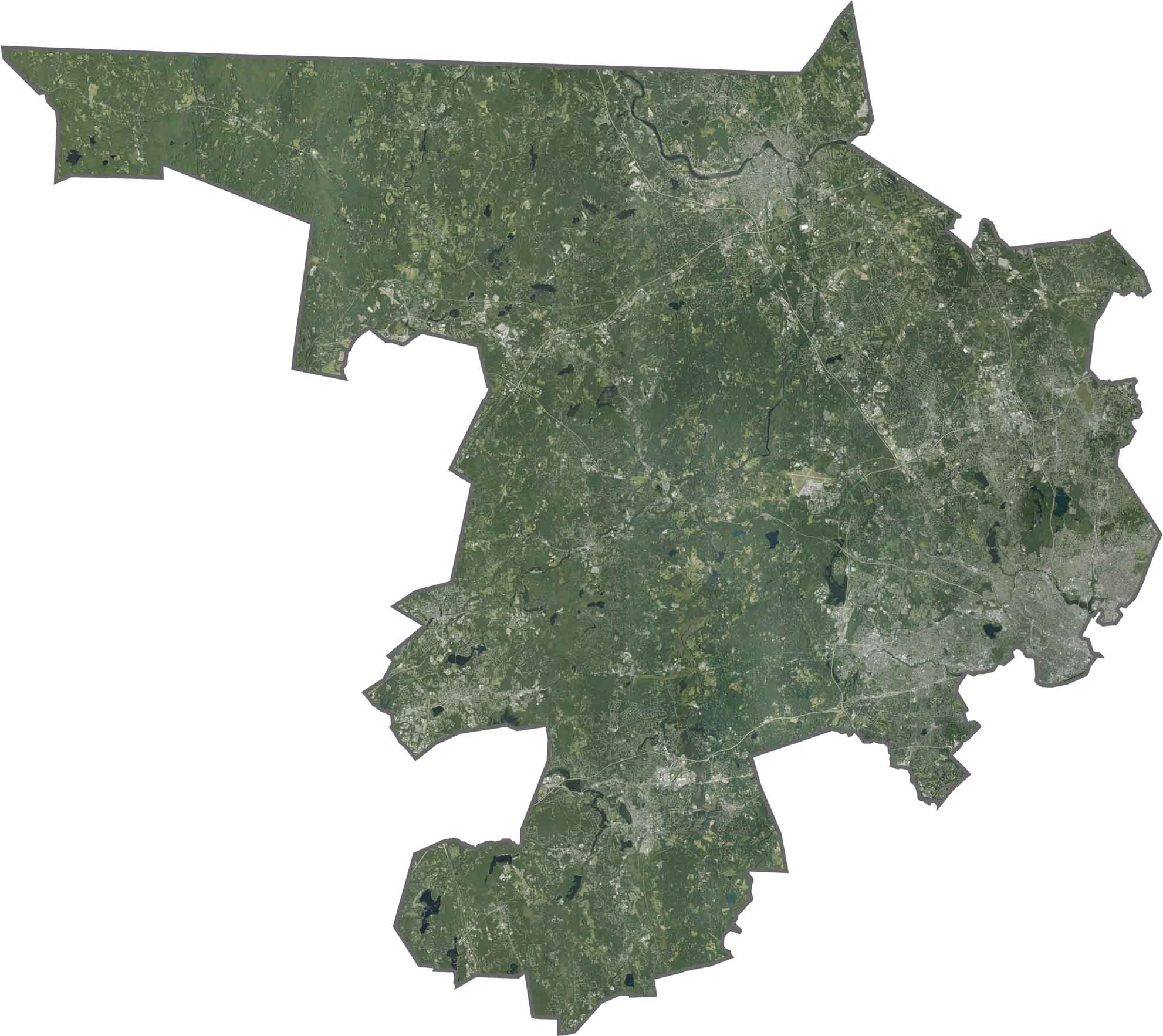
Our satellite map shows dense development around Cambridge and Lowell, while forests and wetlands remain visible farther out. The eastern side is more heavily developed, whereas the western areas stay greener. The Charles River and Merrimack River also stand out clearly across the landscape.
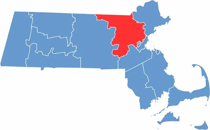
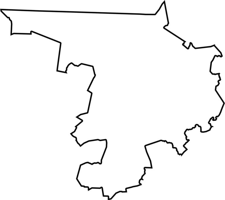
Middlesex County has an irregular shape, stretching from just west of Boston to the New Hampshire border. It borders New Hampshire to the north and several other Massachusetts counties along its southern and western edges.


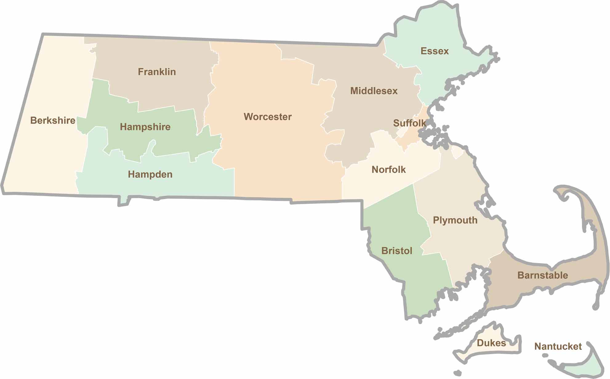
Small state, big personality. Boston’s skyline is packed with history, while the Cape delivers beach days and lobster rolls. Massachusetts brings together history, culture, and coastline across its 14 counties.