
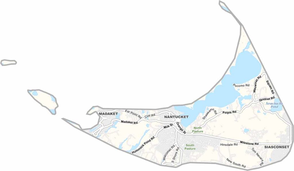
About thirty miles off the coast of Massachusetts, Nantucket County is more than just a popular summer destination. The county consists entirely of Nantucket Island along with a few small nearby islets.
Once known as the whaling capital of the world, this crescent-shaped island now attracts visitors with its pristine beaches. Its isolation has helped preserve its distinctive character, with quaint gray-shingled cottages lining the narrow lanes.
Nantucket Town, the county seat, comes alive during the peak season. Despite its small size, the island offers plenty of outdoor activities. From seal-watching tours to world-class restaurants, Nantucket County shows that great things can come in small packages.
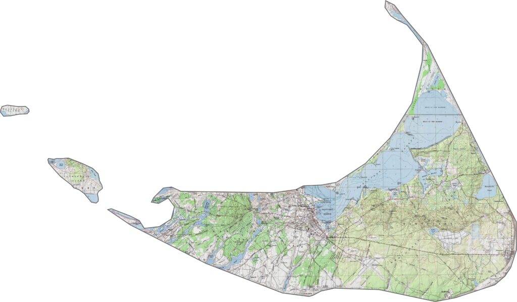
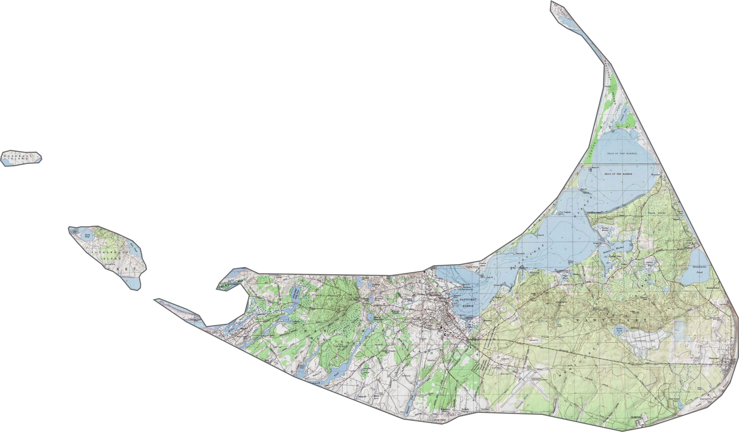
Nantucket is mostly flat, with dunes and gentle rises appearing near the coast. There isn’t much elevation, but our topo map highlights the island’s sandy hills and coastal edges. Use our zoom tool to explore every road, path, and sandy track.
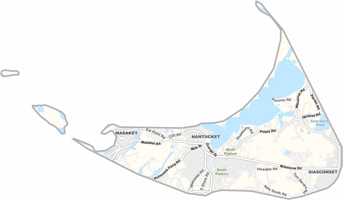
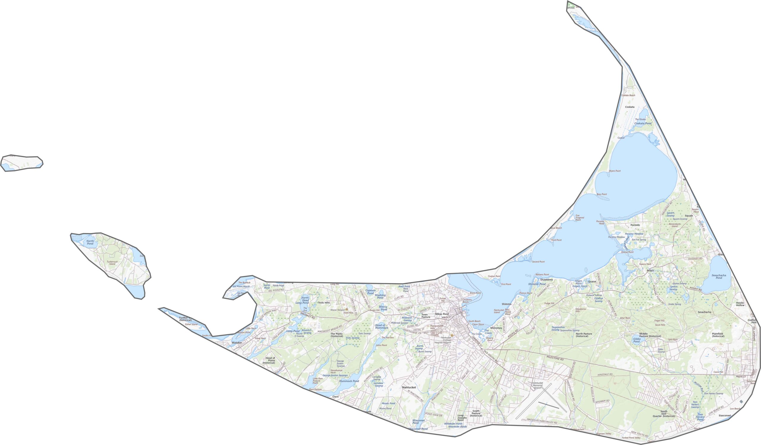
Nantucket has relatively few roads, but they serve the island well. There are no interstates, just local roads and bike paths. Although the island is small, its layout can be confusing without a map. Unpaved roads become more common farther from town. You’ll need a ferry to reach Nantucket, but once you’re there, getting around is fairly simple.
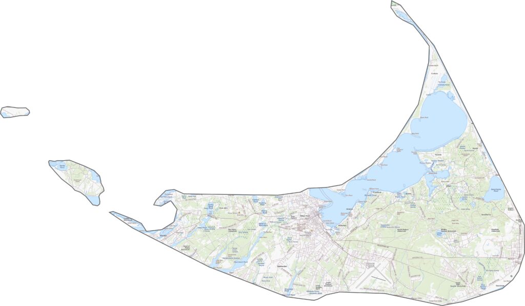
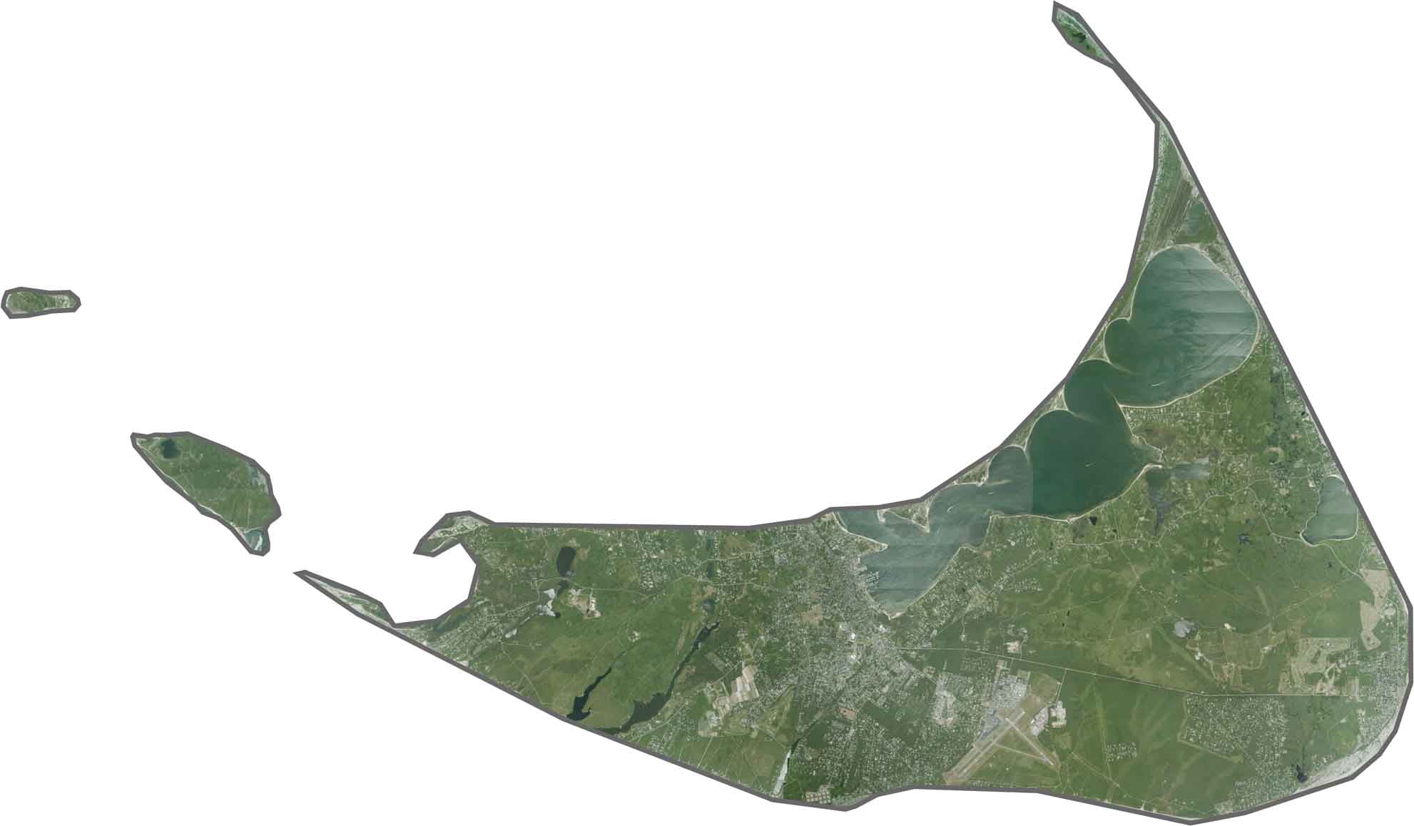
Beaches surround the island in pale beige, while the downtown area appears as a compact grid. Most of the island remains open land or brush, with ponds and harbors clearly visible from above.
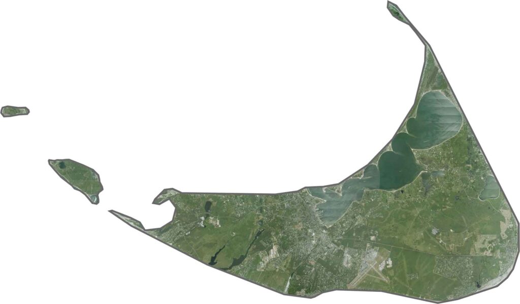
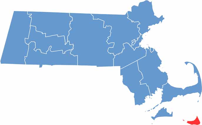
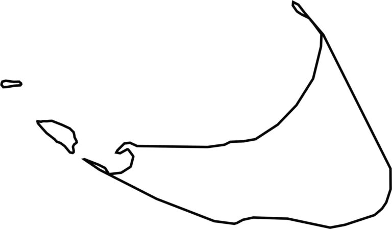
Nantucket is an island county southeast of Cape Cod. It doesn’t border any other state or county, only the Atlantic Ocean. The shape is compact, with a long southern shoreline. Its boundaries are entirely coastal, shaped by wind and water.


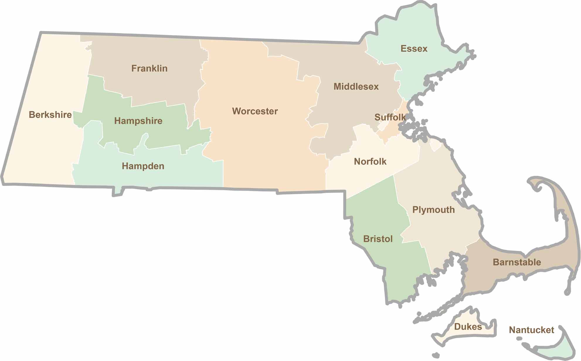
Small state, big personality. Boston’s skyline is packed with history, while the Cape delivers beach days and lobster rolls. Massachusetts brings together history, culture, and coastline across its 14 counties.