
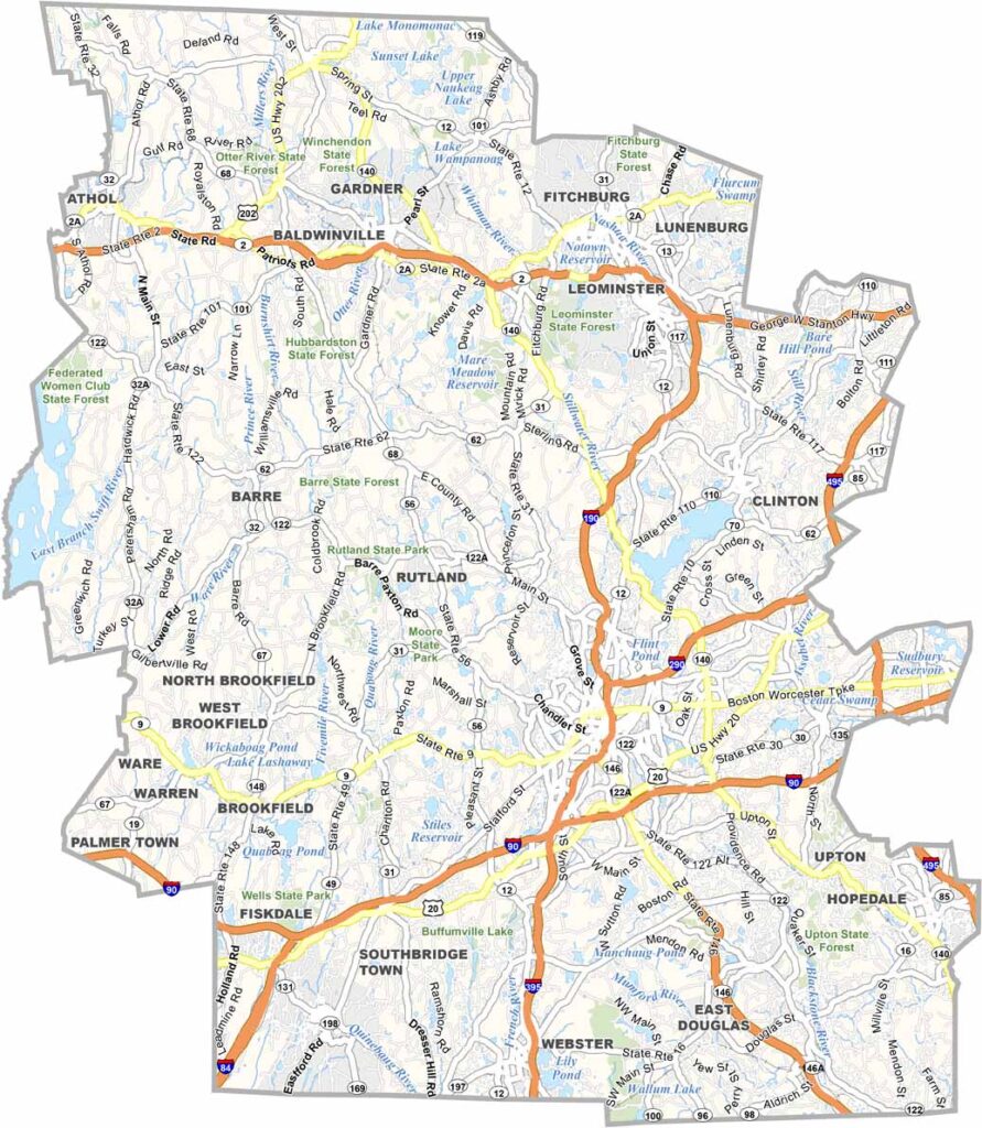
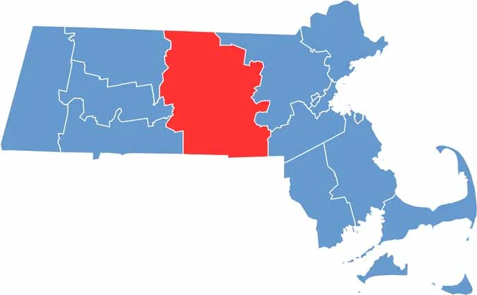
Central Massachusetts is home to Worcester County, a diverse region with a rich history and plenty to explore. It’s the second-most populous county in the state and stretches from the Connecticut border to New Hampshire.
Worcester, the county seat, is known as the “Heart of the Commonwealth.” Throughout the county, you’ll find quaint New England towns with white-steepled churches and charming town greens.
Visitors come to Wachusett Mountain for skiing and hiking. Whether you’re interested in history, nature, or city life, the county offers a bit of everything. It’s also the largest county in the entire state of Massachusetts.
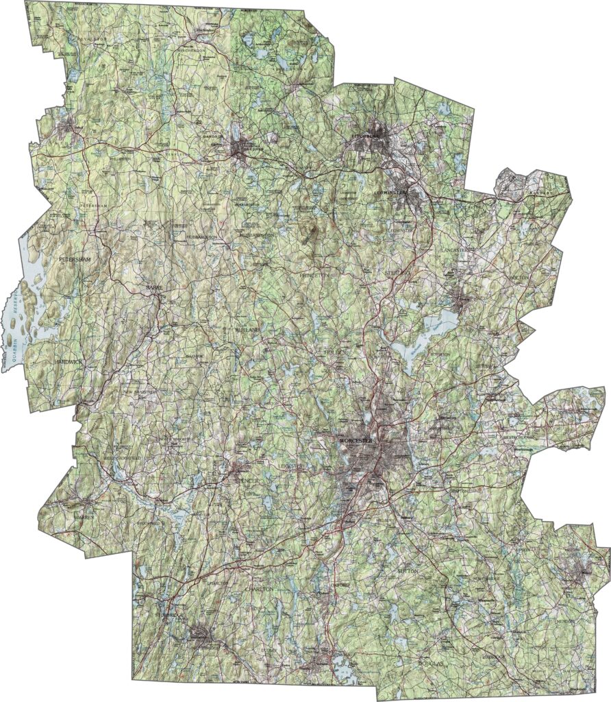
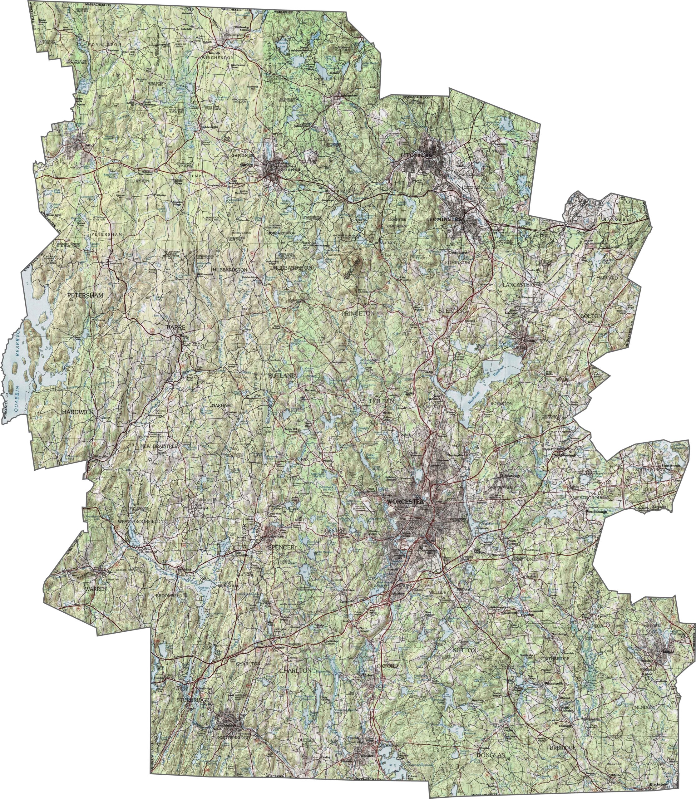
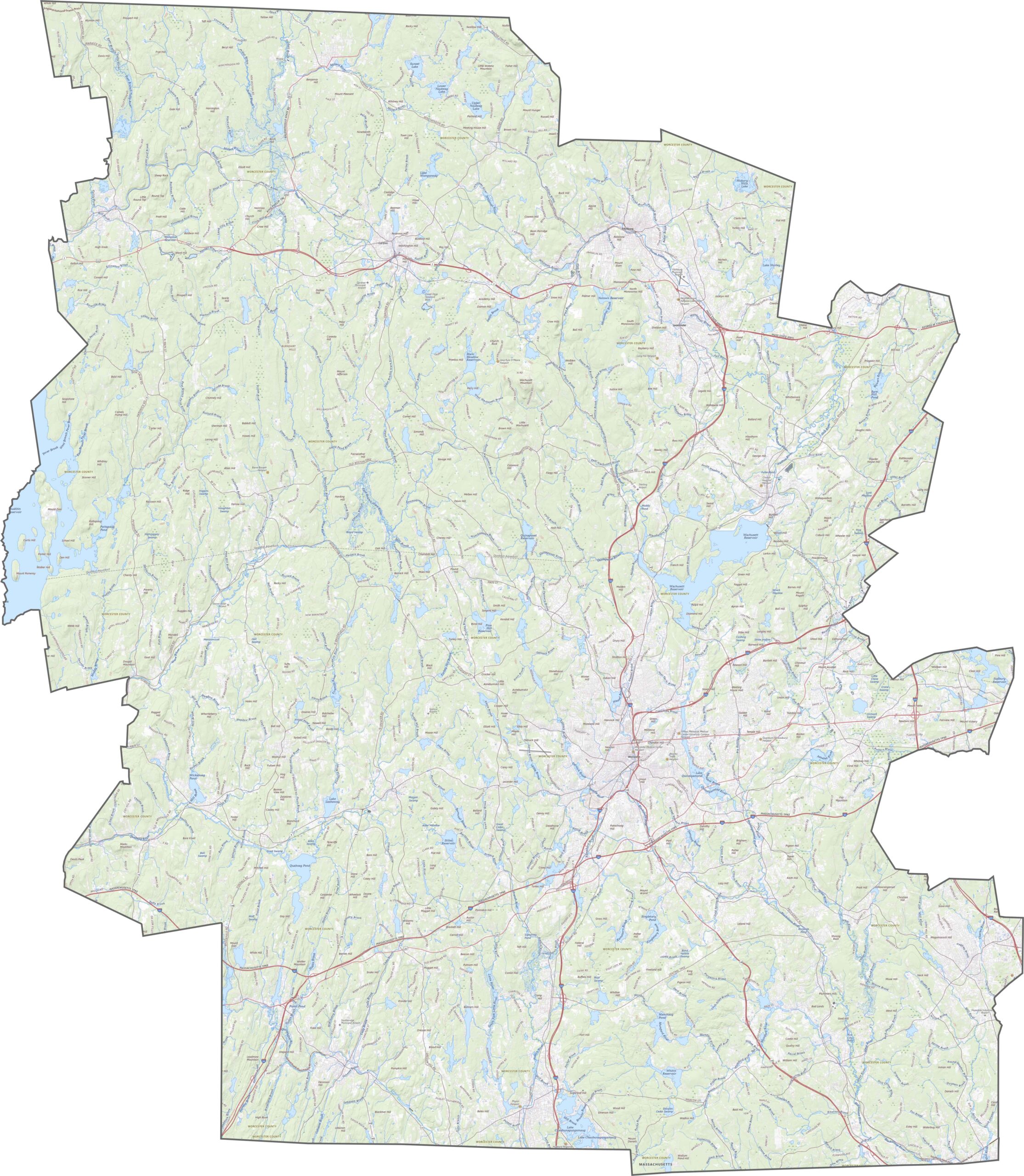
Worcester County has some serious terrain variety. Hills and ridges crisscross the landscape, especially in the north and west, while rivers cut deep through the land. The central area flattens out somewhat around Worcester itself. You can explore the highways and hilltops with our topographic map and zoom tool below.
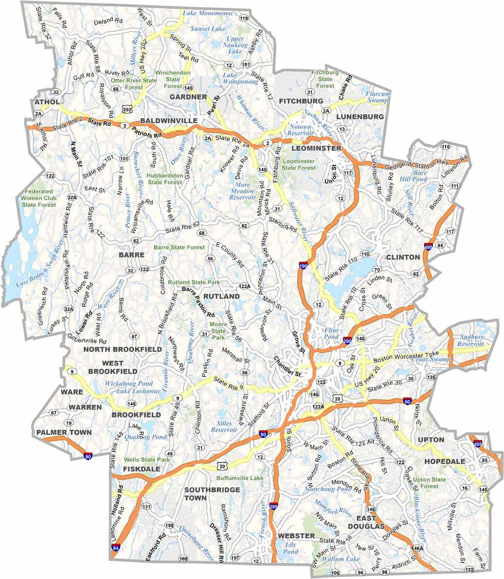
Worcester County is large, and its road network reflects that. I-190 and I-290 serve the central city, while I-90 runs east to west through the southern section. Although some towns are more remote, Routes 2, 9, and 20 help keep the area connected. Despite its size, most parts of the county have solid road access.
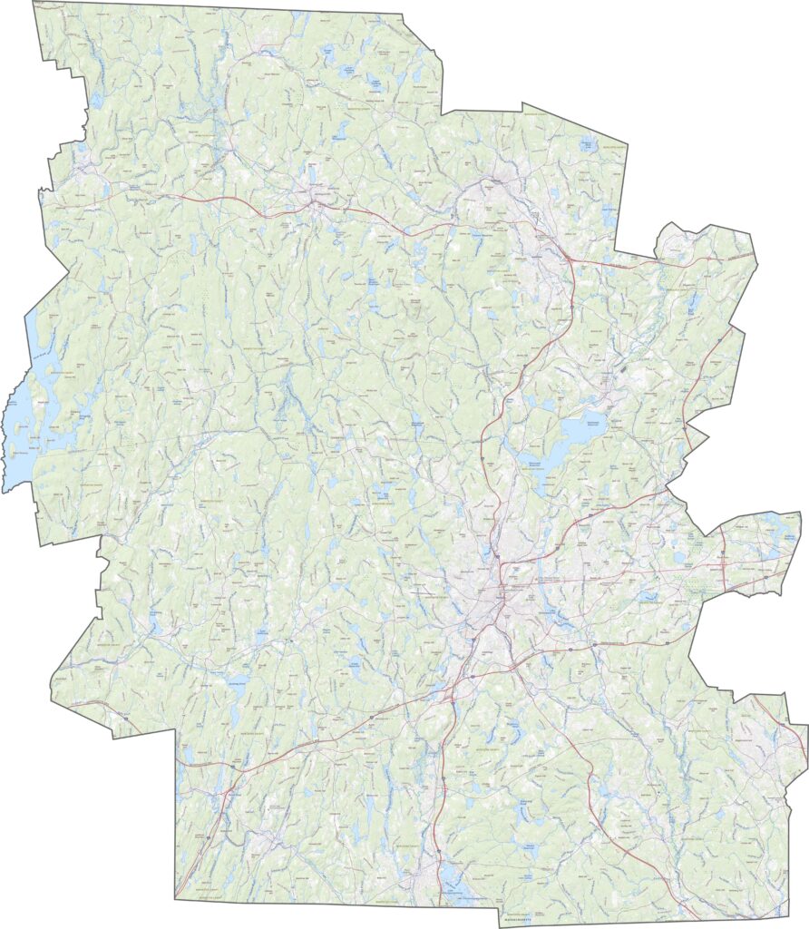
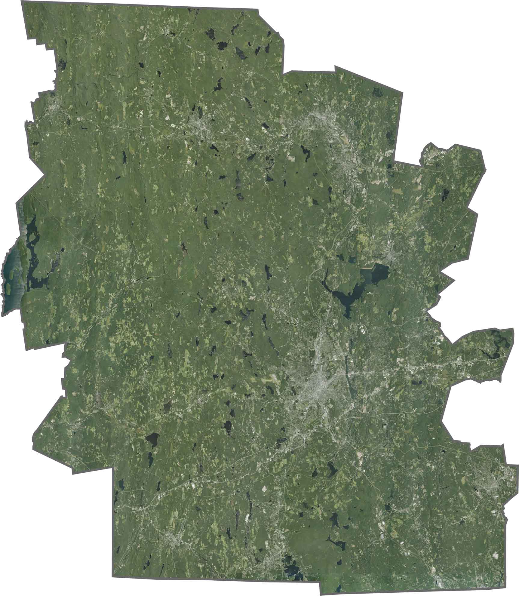
Wooded hills are common along the outer edges. Farmland and small towns fill the spaces in between, while large lakes, including Wachusett Reservoir, stand out across the landscape. Worcester city is clearly visible, but green space still covers much of the map.
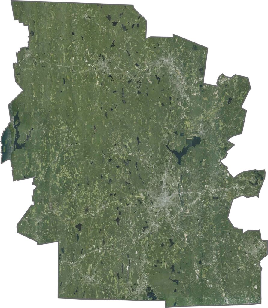
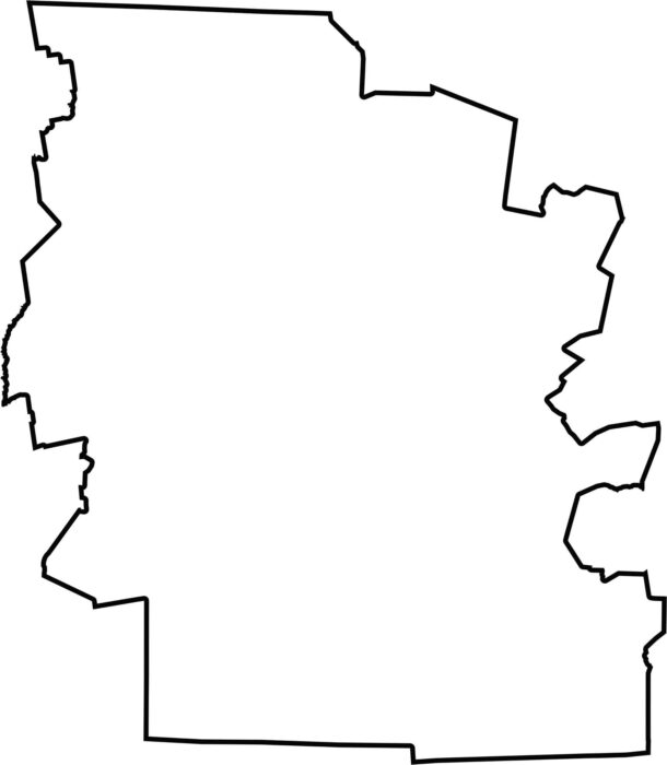
Worcester is the largest county in Massachusetts by land area. It borders New Hampshire to the north and Rhode Island to the south. Its shape is wide and uneven, shaped by the hills and rivers that run throughout the county.
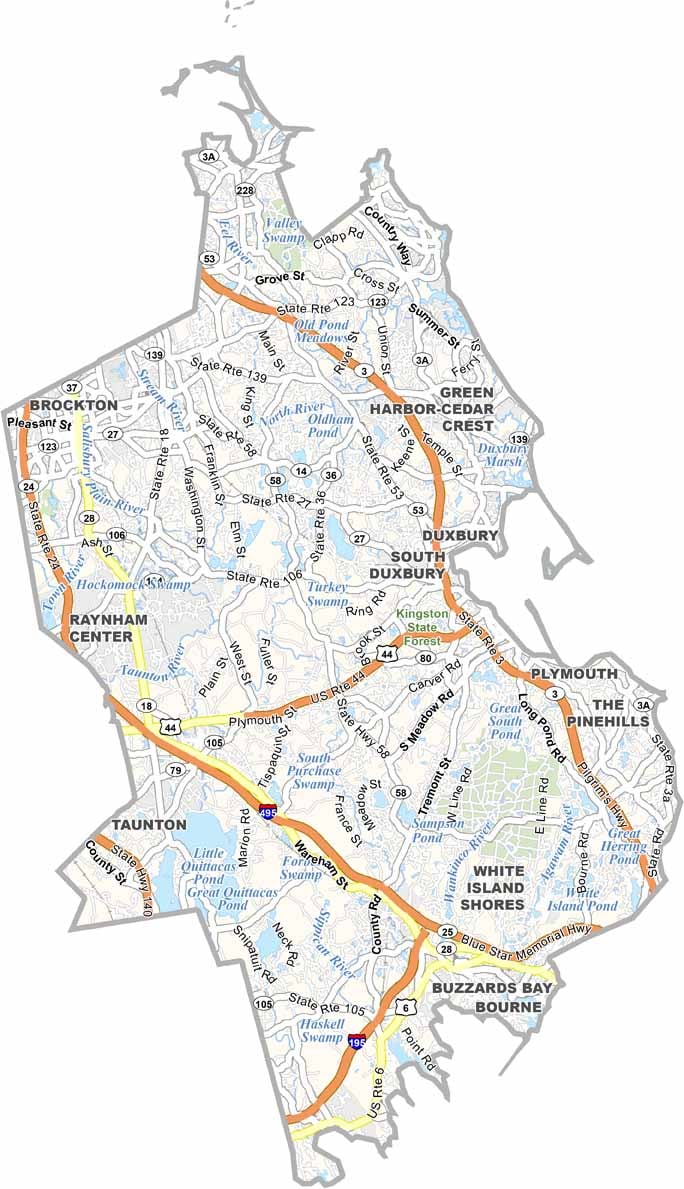
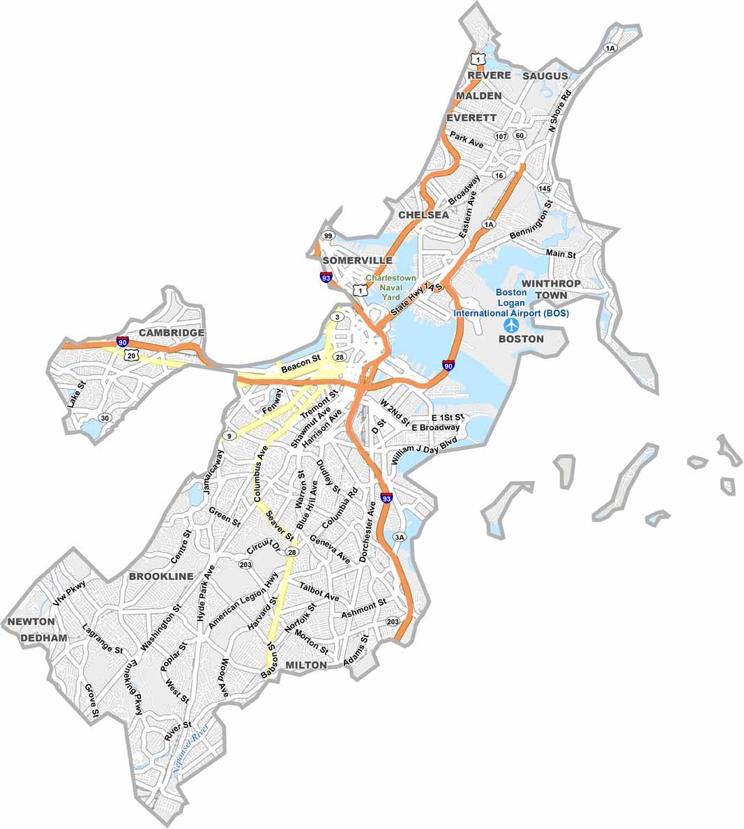
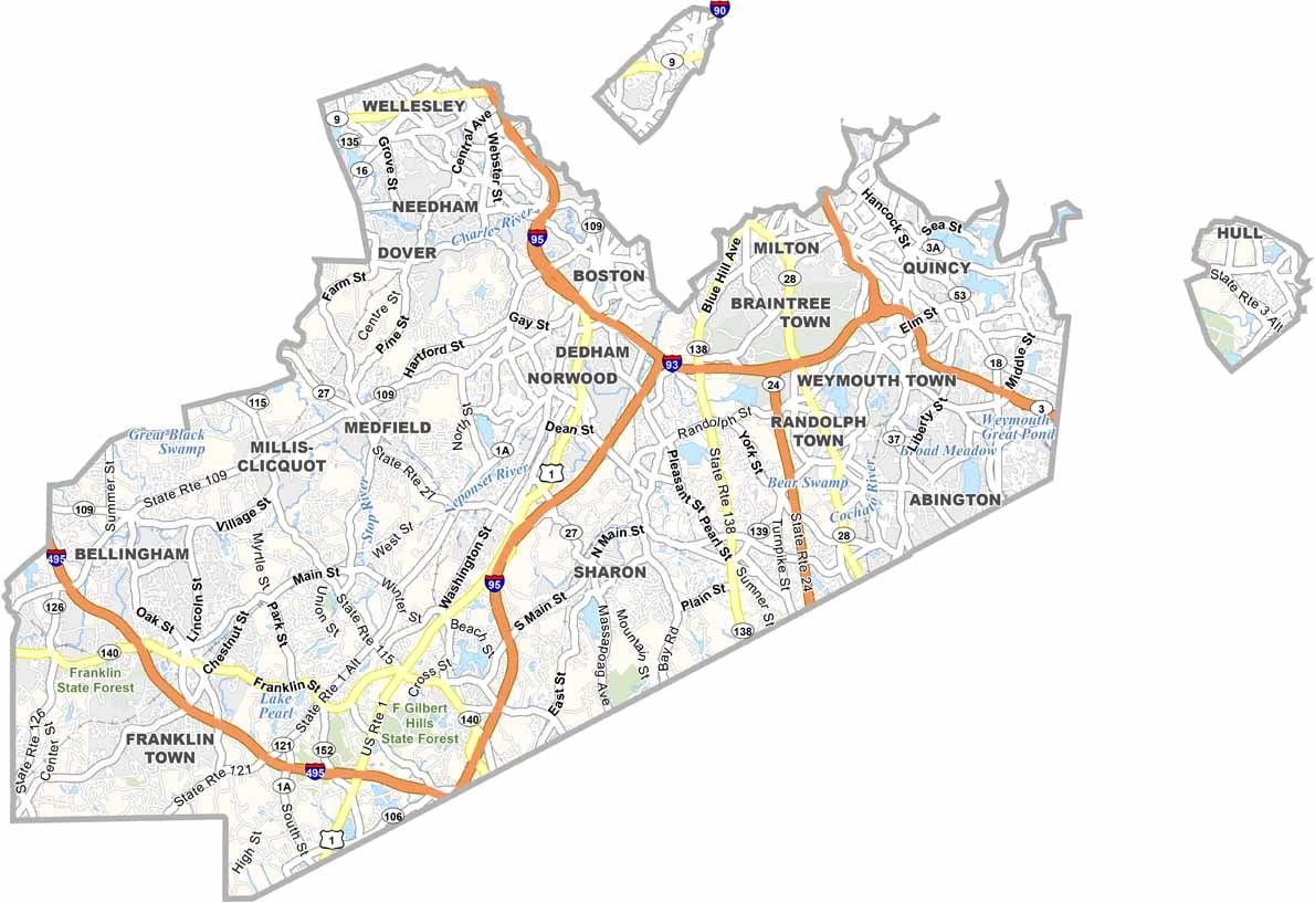
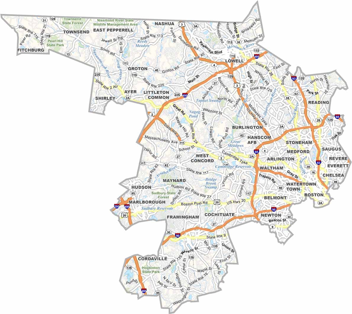
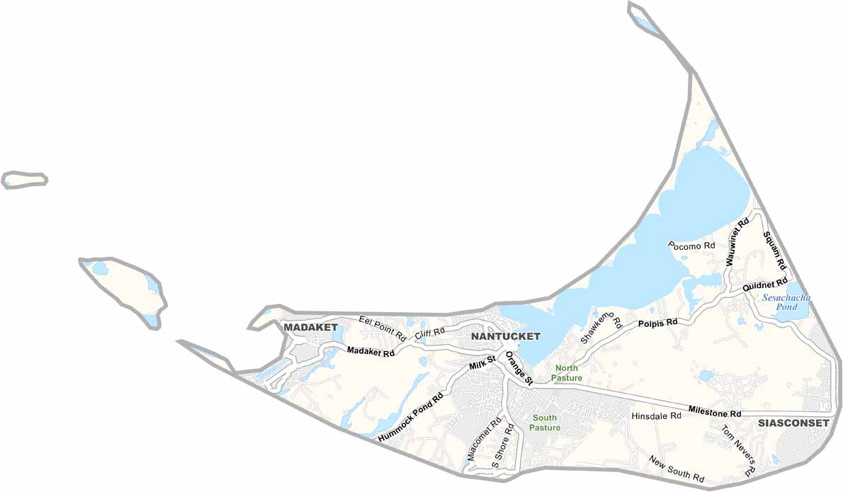


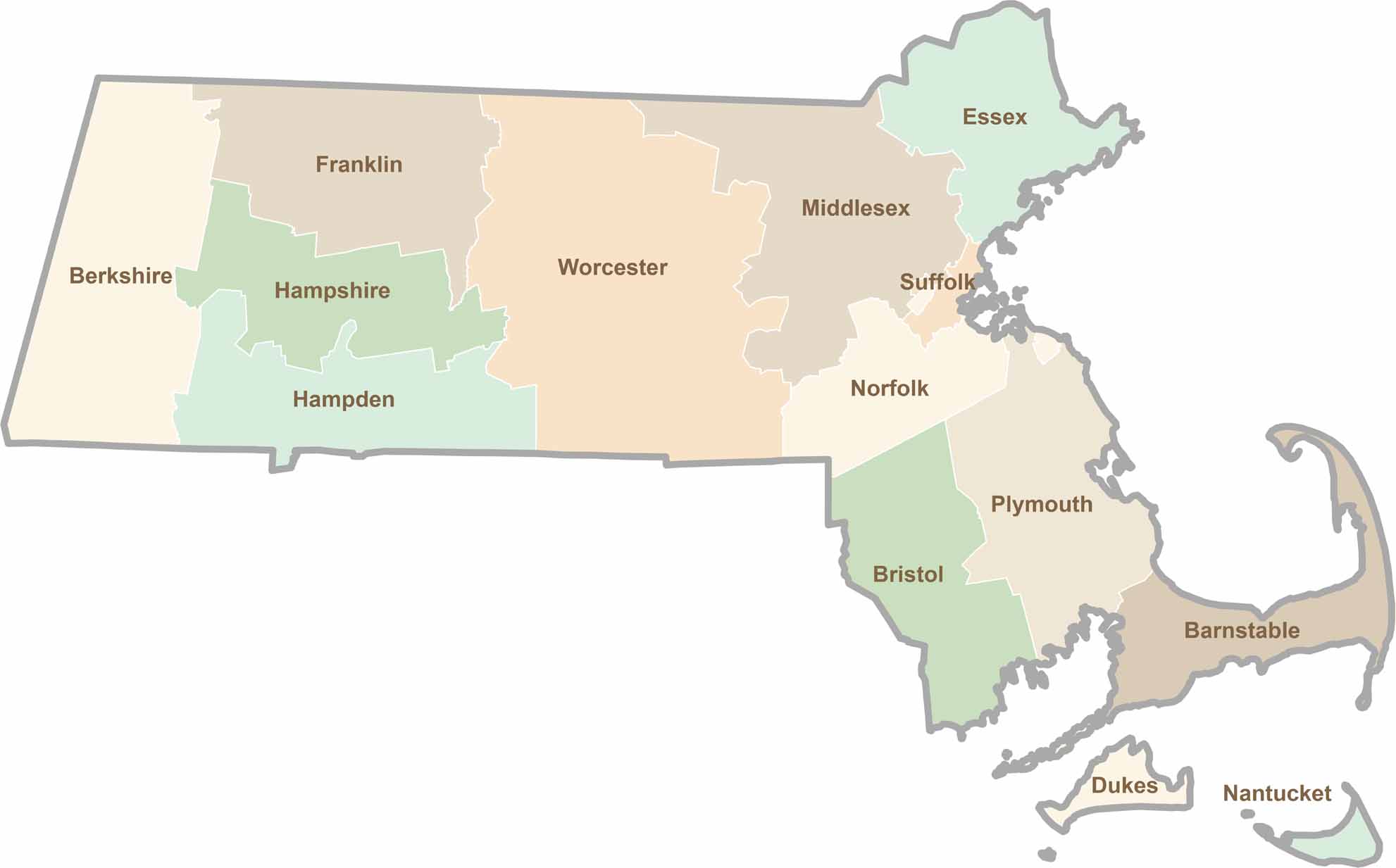
Small state, big personality. Boston’s skyline is packed with history, while the Cape delivers beach days and lobster rolls. Massachusetts brings together history, culture, and coastline across its 14 counties.