
You can’t talk about American history without mentioning Plymouth Rock. It’s right in Plymouth County, Massachusetts, along the state’s South Shore. This is where the Pilgrims are traditionally said to have first landed in the New World.
But Plymouth County is more than just its famous rock. It stretches from the Atlantic coast inland, covering a mix of suburban communities and rural areas. Cranberry bogs are scattered throughout the landscape.
The county also has plenty of beaches. Duxbury and Marshfield are local favorites for soaking up the sun. History lovers can explore the Plimoth Patuxet Museums, where they can step back into 17th-century life. For a taste of modern life, head to Brockton, the county’s largest city. It’s known as the “City of Champions,” thanks to boxing legends Rocky Marciano and Marvin Hagler.
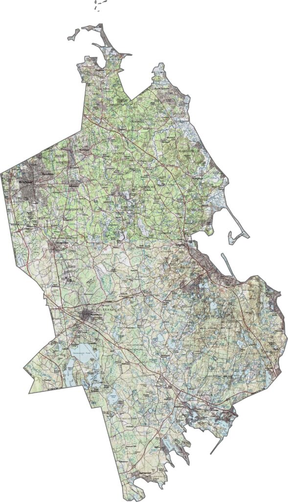
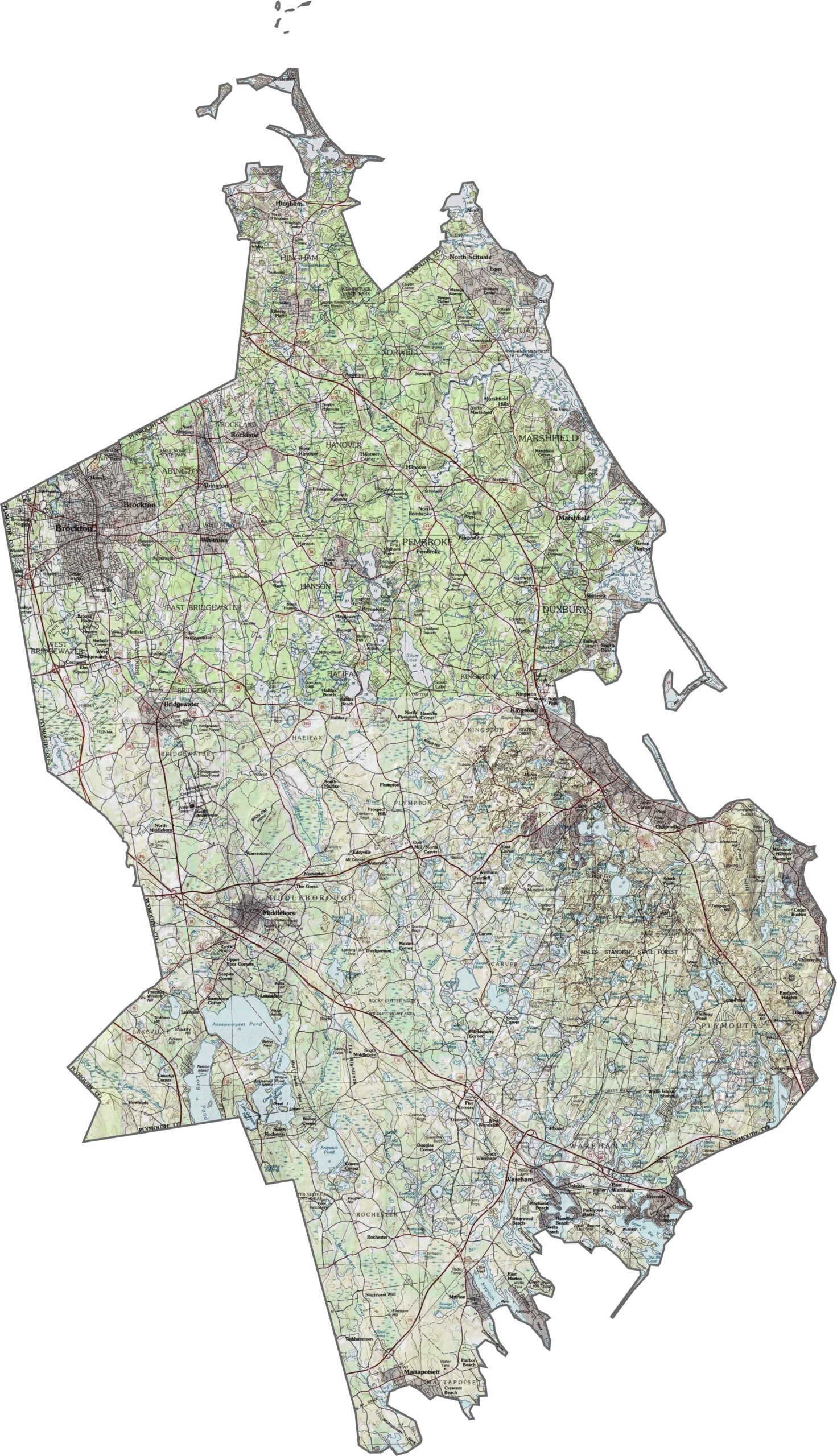
Much of Plymouth County is flat, though hills rise near the coast and around inland ponds. Our topo map shows broad plains dotted with drumlins and ridges. Wetlands and coastal bluffs add variety along the shoreline. You can explore each elevation contour in detail with our zoom tool below.
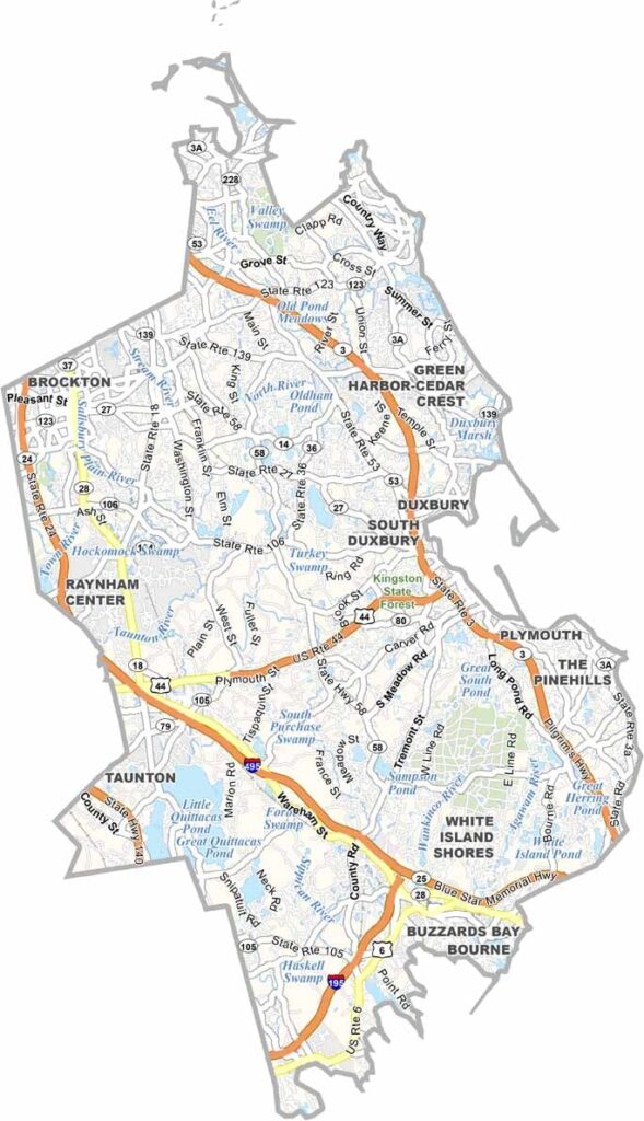
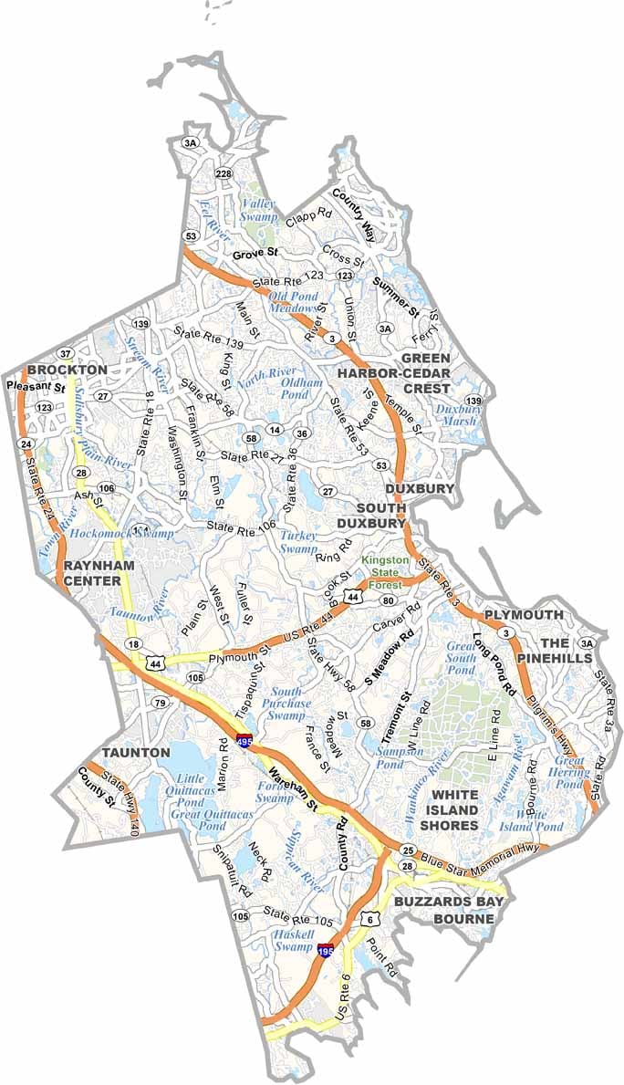
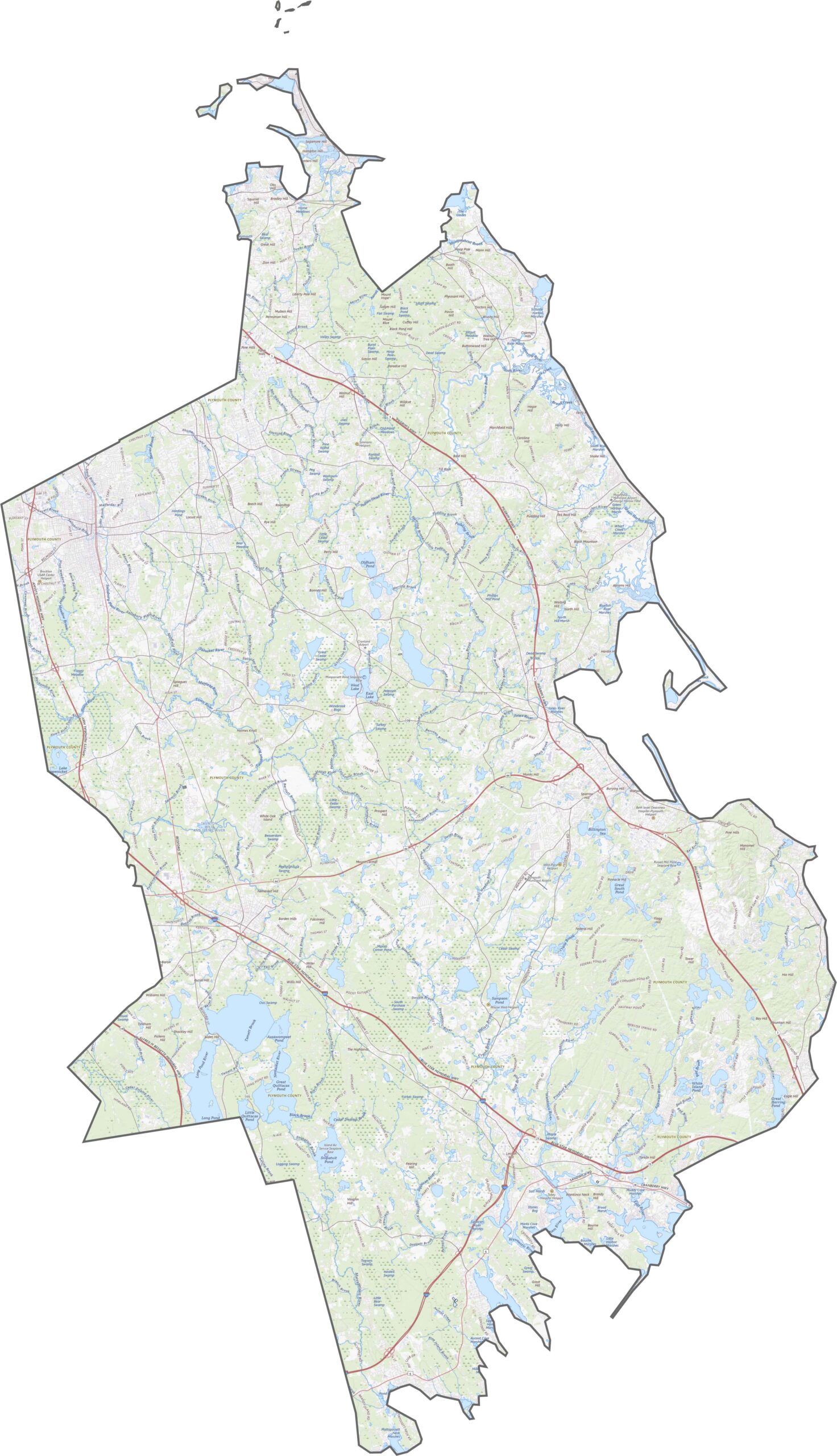
Plymouth County is served by several key highways. Route 3 runs from Boston to Cape Cod and cuts through the eastern half of the county. Roads such as Route 44 and Route 24 also provide quick east-west connections. Although some areas feel rural, road access remains strong.
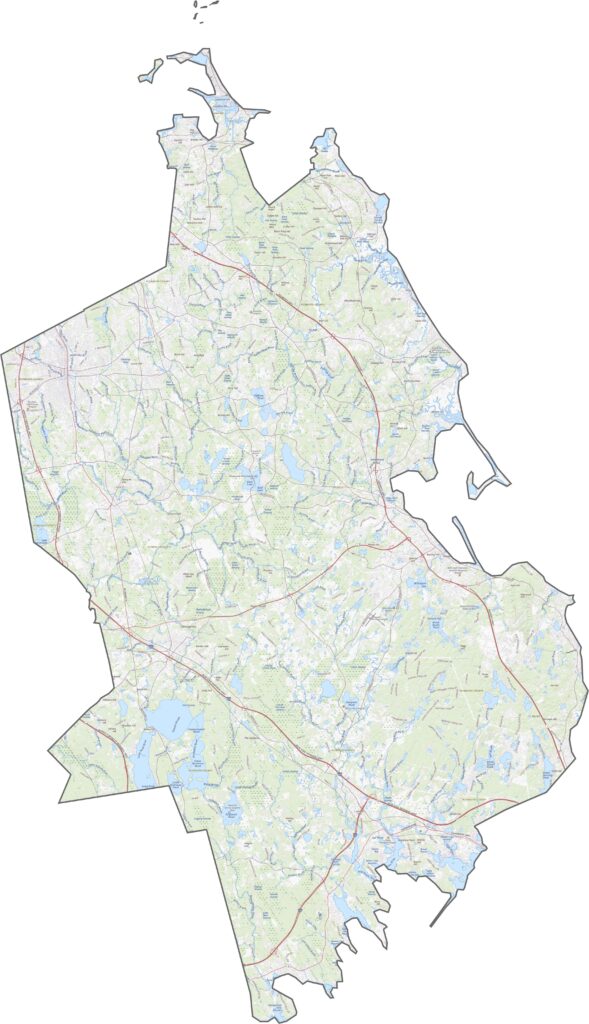
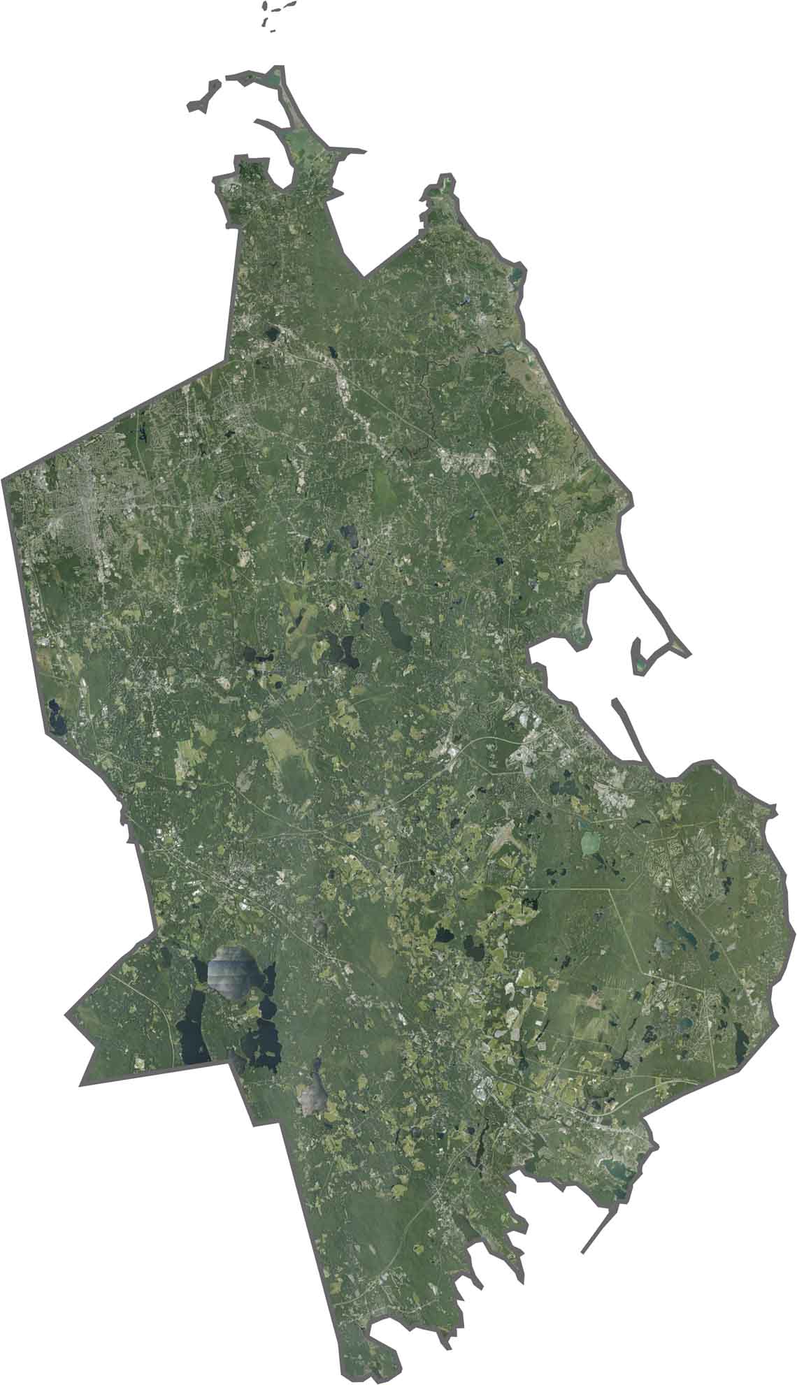
Forests and lakes dominate our satellite map of Plymouth County. Plymouth’s coastline features harbors and long stretches of beach. Suburban areas are visible in the north, while the south remains greener. Ponds, bogs, and bays are easy to spot throughout the county.
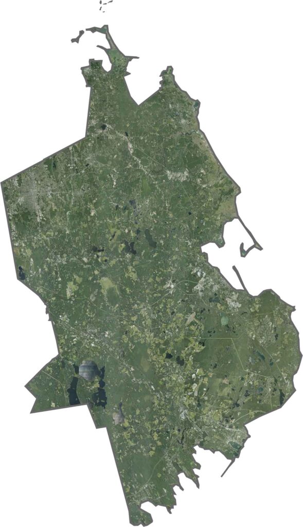
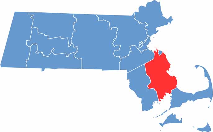
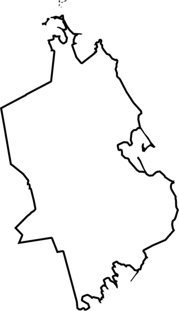
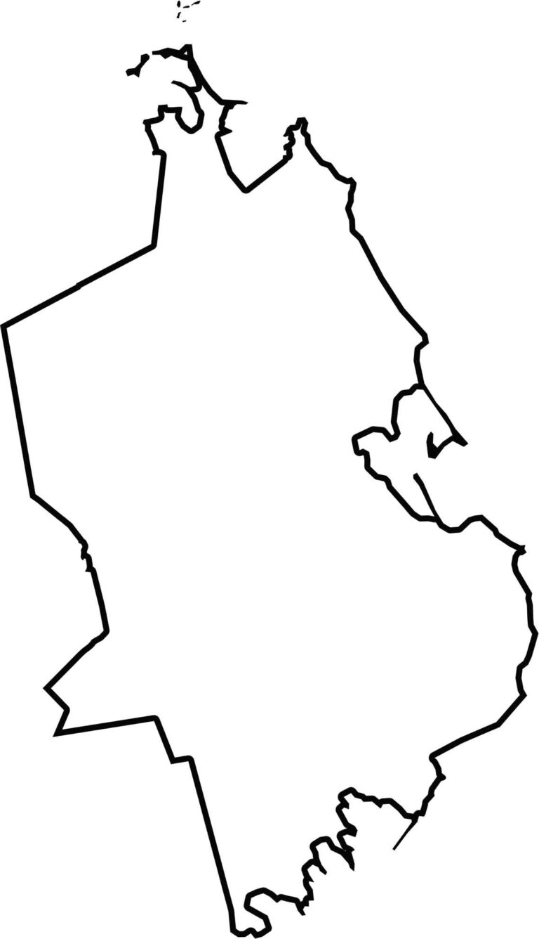
Plymouth County stretches from inland woods to the Atlantic coast. Its eastern edge meets Cape Cod Bay. It doesn’t border another state but touches Barnstable, Norfolk, and Bristol Counties. The outline is jagged, with a wide coastal front and many small bays.

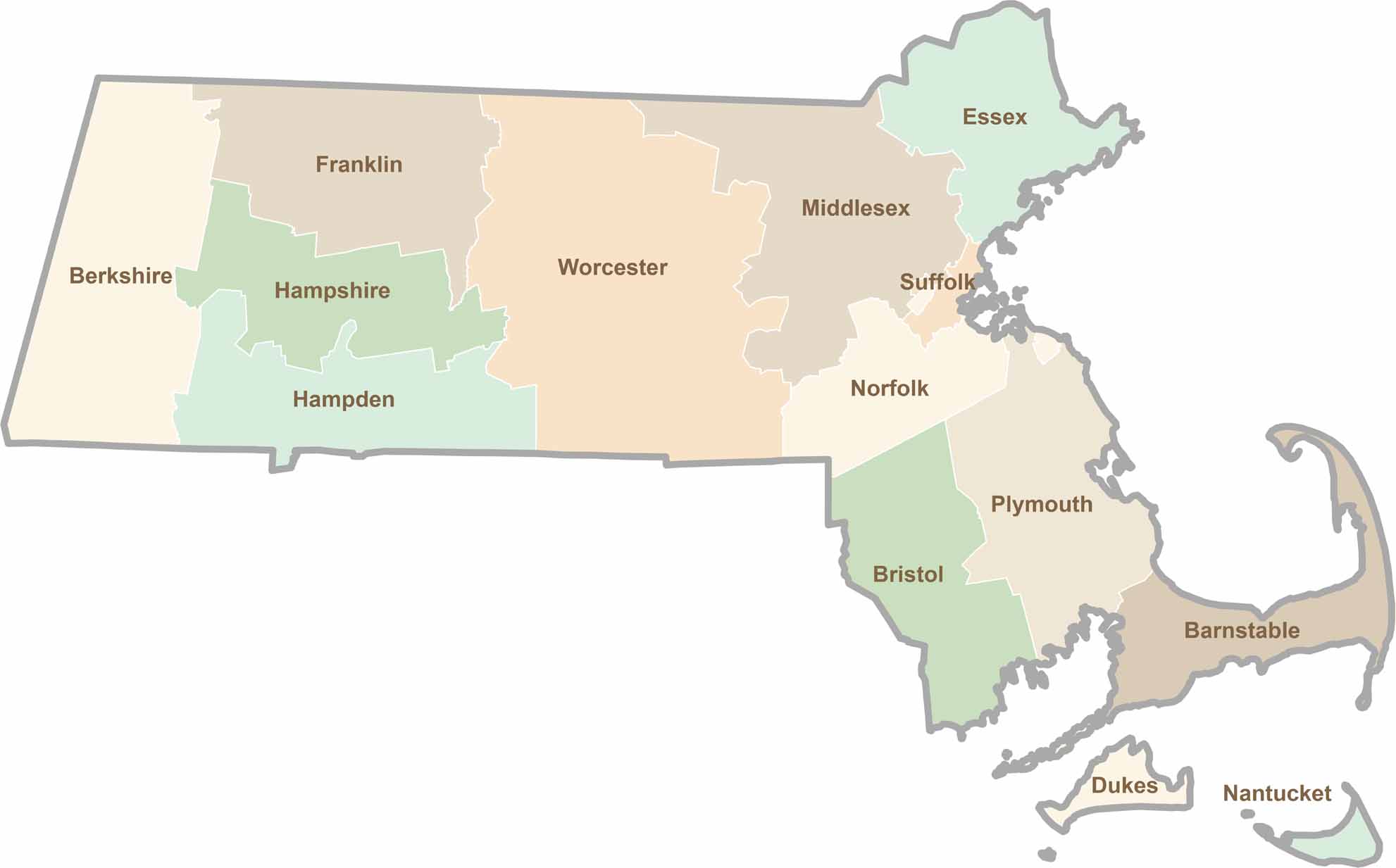
Small state, big personality. Boston’s skyline is packed with history, while the Cape delivers beach days and lobster rolls. Massachusetts brings together history, culture, and coastline across its 14 counties.