
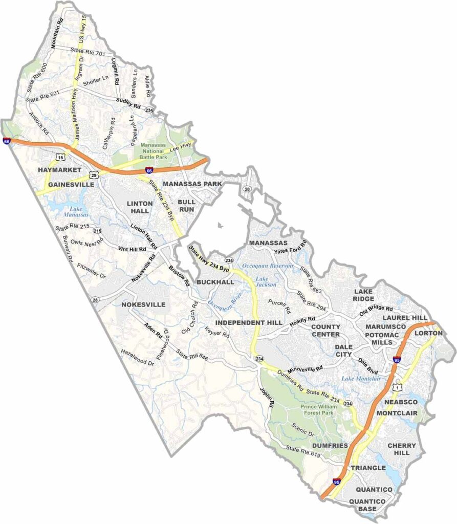
Prince William County is where suburban D.C. meets the Virginia countryside. It’s just a short distance from the nation’s capital, making it a popular place for commuters. The county has experienced rapid growth in recent years.
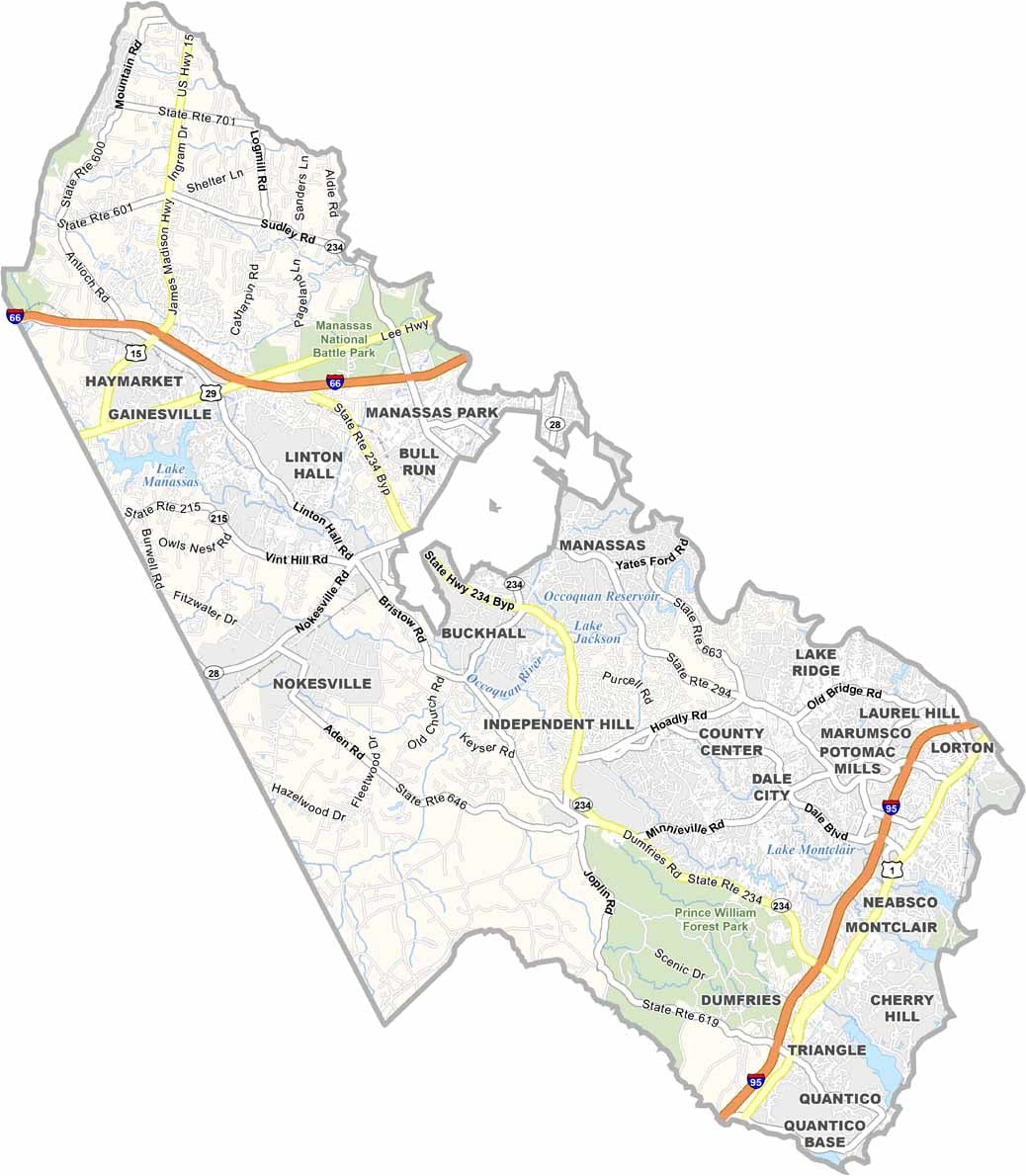
Manassas National Battlefield Park attracts history buffs from all over. You can almost imagine the echoes of Civil War cannons across the landscape. Visitors also flock to Prince William Forest Park for its hiking trails and campgrounds, offering a green escape in a busy region.
The Potomac River forms the county’s eastern border with Maryland. Jiffy Lube Live brings big-name concerts to the area, while pockets of rural charm remain despite the development. The mix of old and new, along with urban and rural areas, gives the county plenty of character.
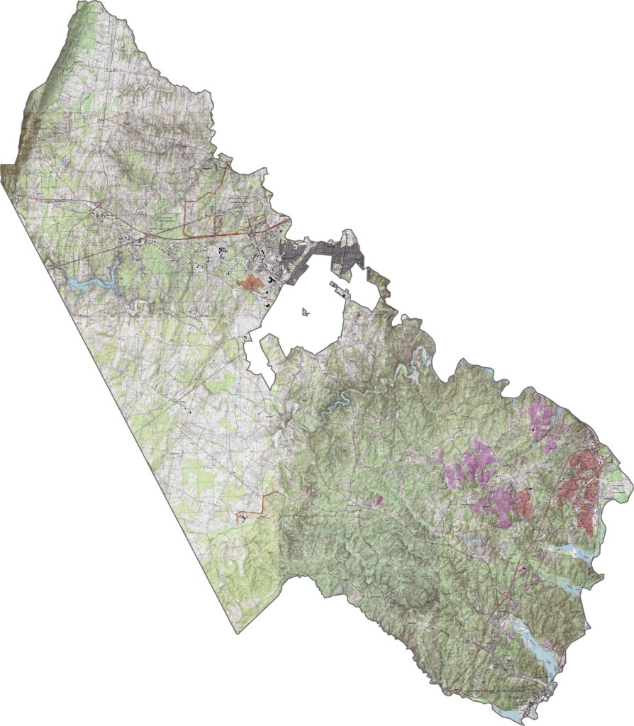
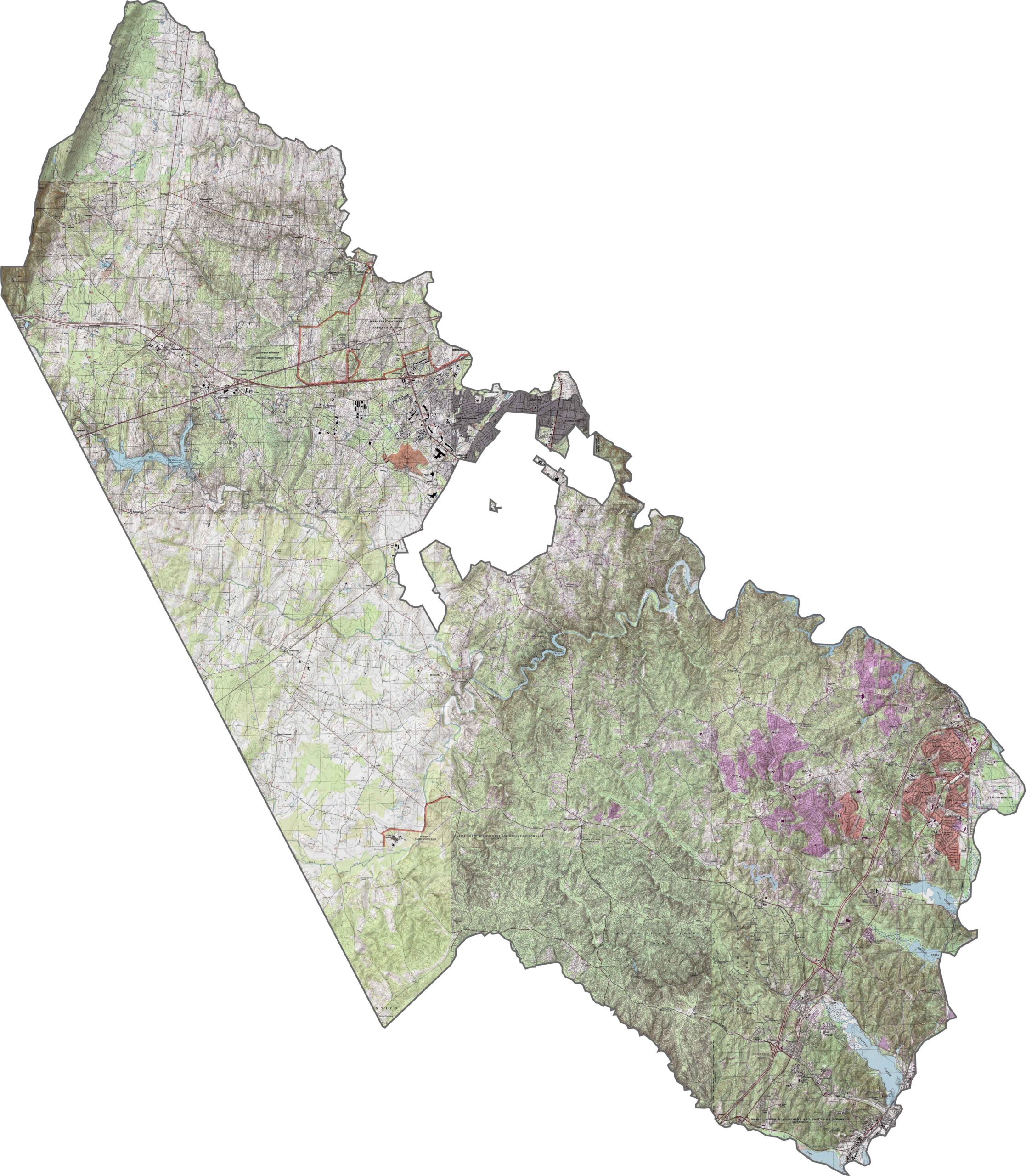
Prince William County sits where the Piedmont gradually levels out toward the coastal plain. The terrain isn’t mountainous, but there are noticeable elevation changes, especially around the Bull Run Mountains in the northwest.
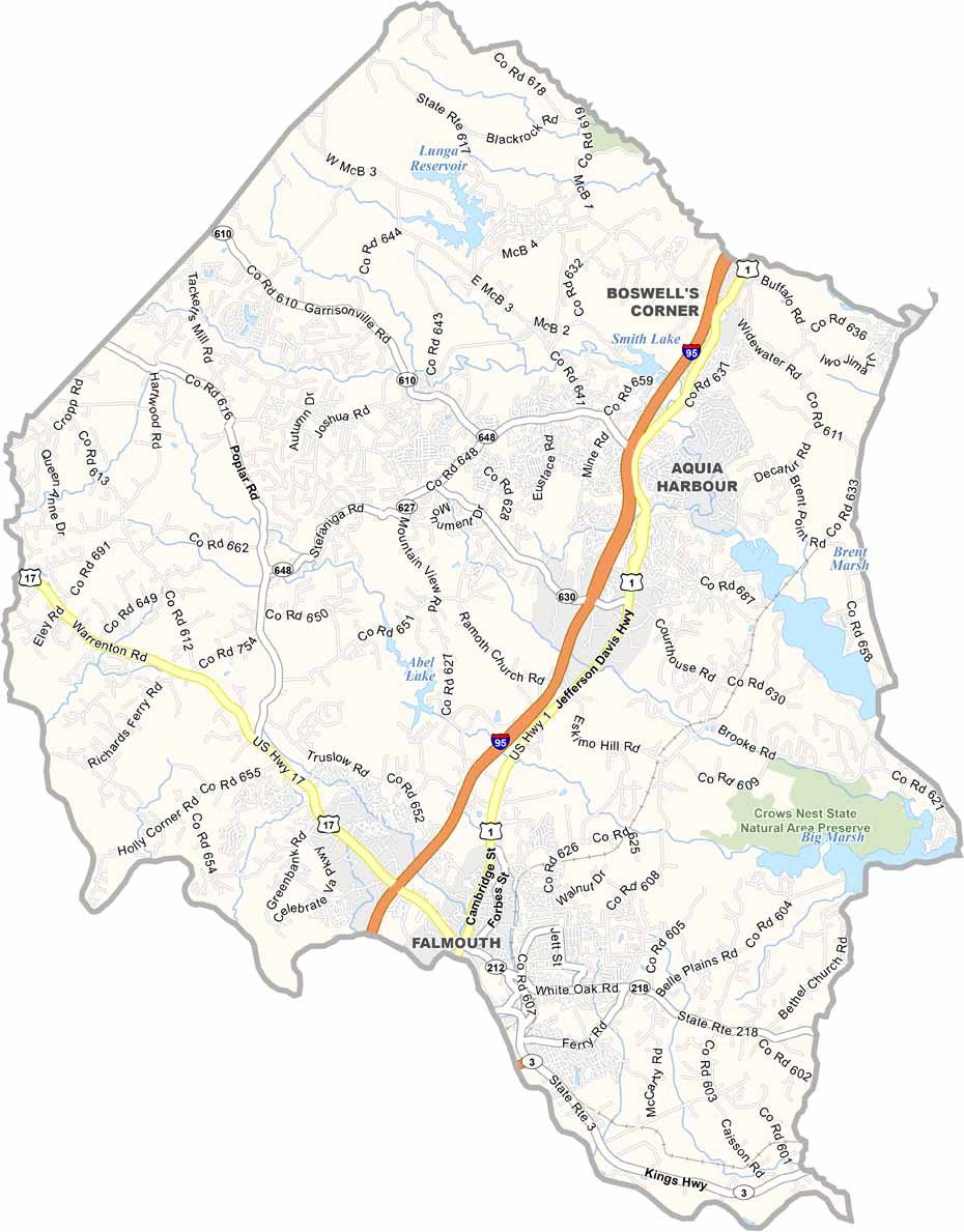
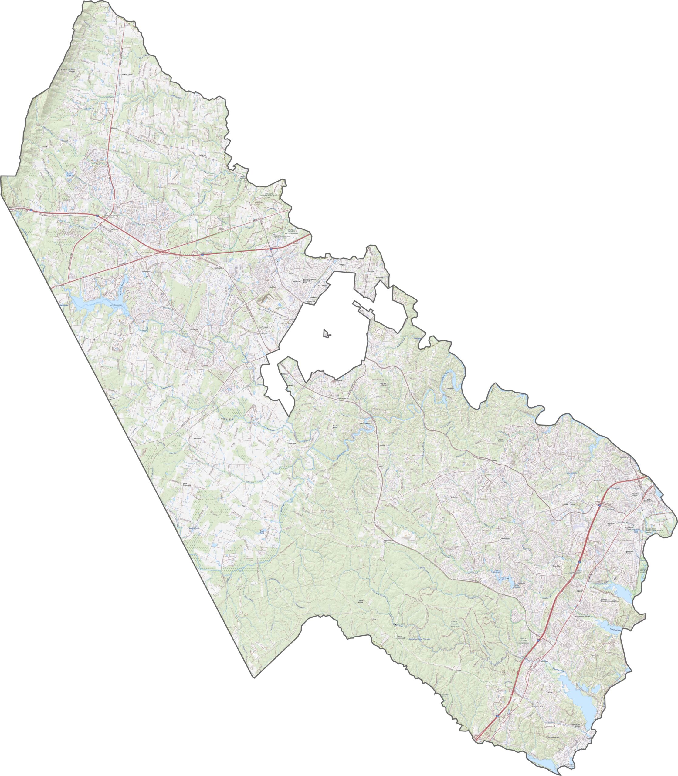
Prince William County is packed with major roads. Interstate 95 runs along the eastern edge, while I-66 crosses the northern section. Use our zoom tool to explore the many ramps, side roads, and connections throughout the county.
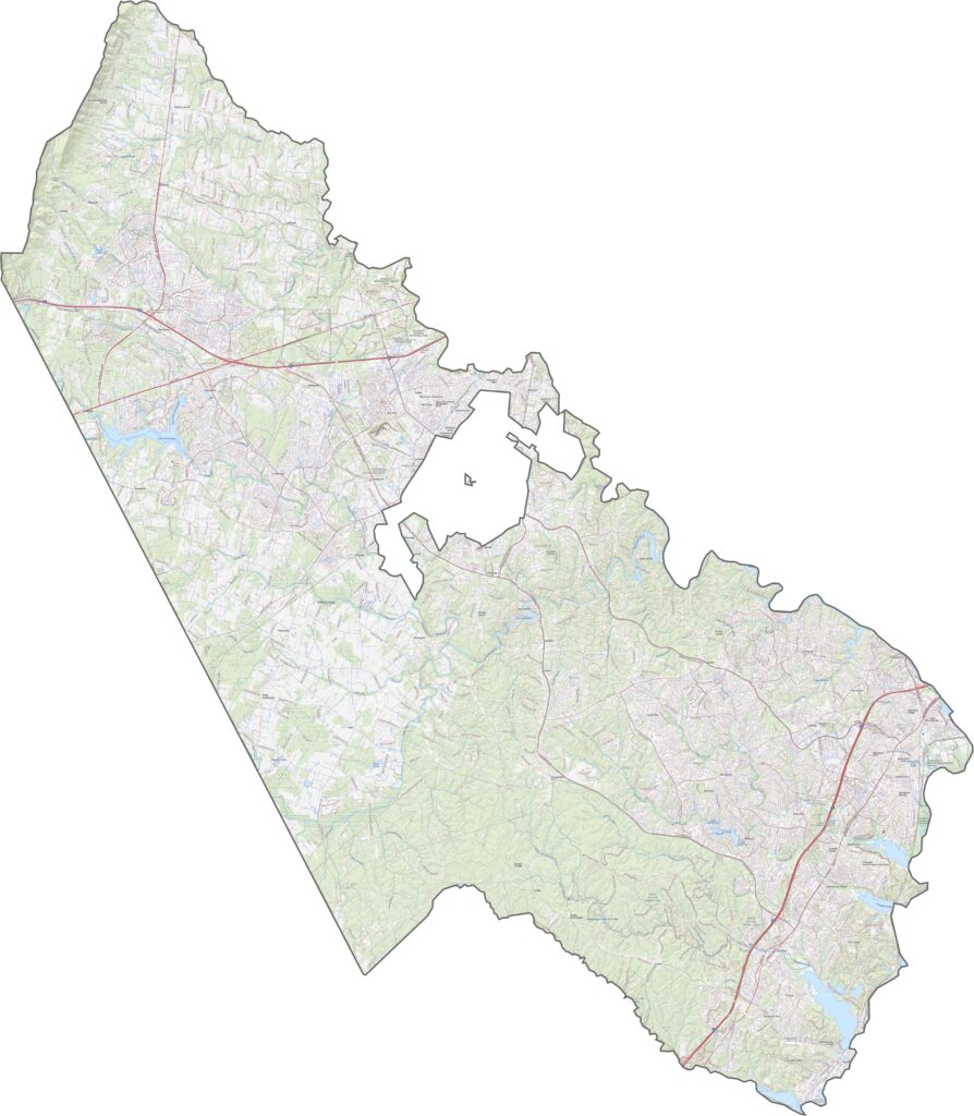
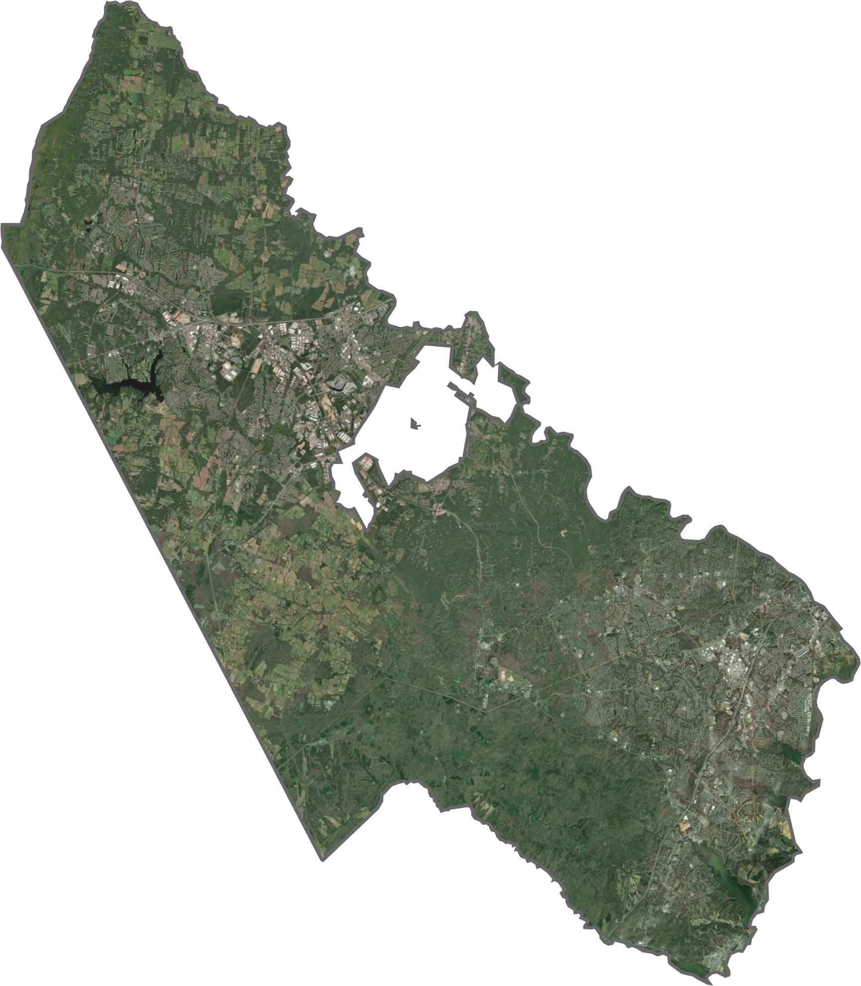
Prince William County combines dense suburbs, wooded areas, and preserved parkland. Neighborhoods are concentrated in the east, especially around Dale City and Woodbridge, while the western part features more forests, open spaces, and historic battlefields.
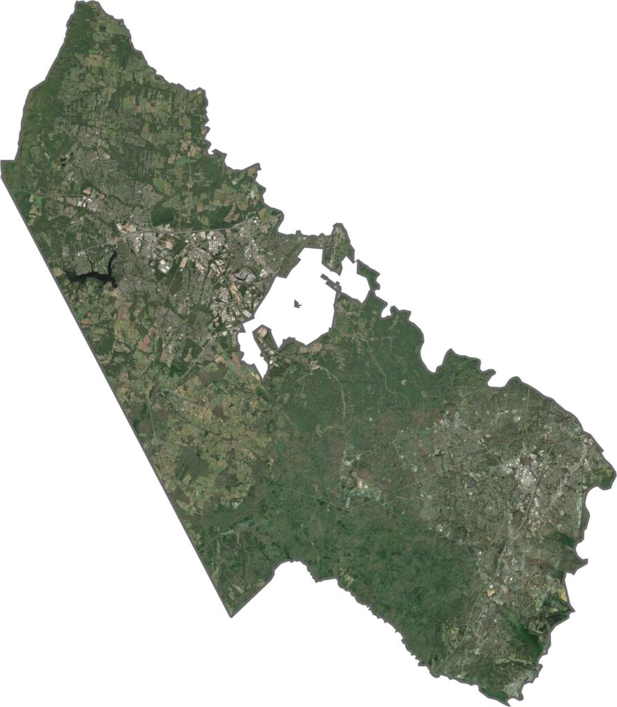
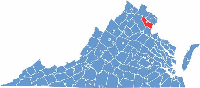
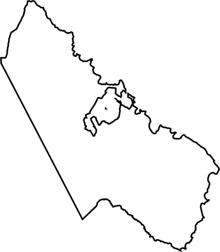
Prince William County has an irregular outline, with a notably straight western side. The Potomac River forms part of the southeastern boundary, creating a natural border with Maryland. Manassas Park is completely enclosed within Prince William County.
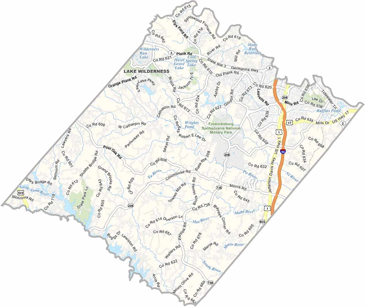


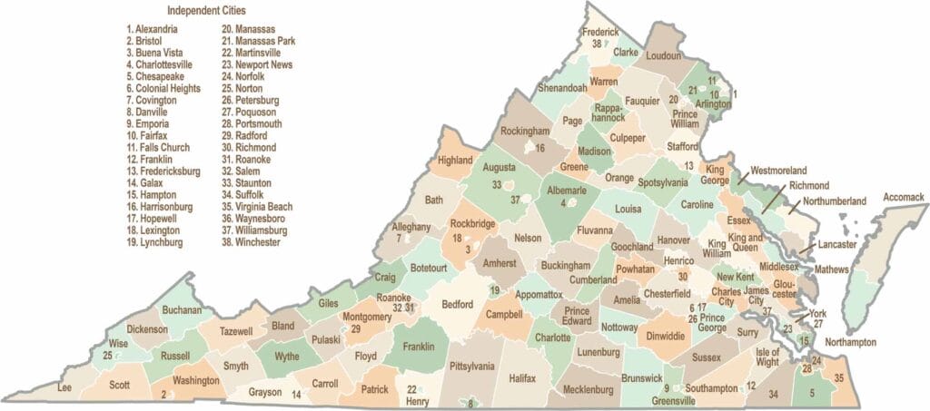
Virginia’s 95 counties bring together old-school roots, winding mountain roads, and Civil War history. One county is known for peanuts, another for presidents. Some feel distinctly rural, while others sit closer to the action around the nation’s capital.