
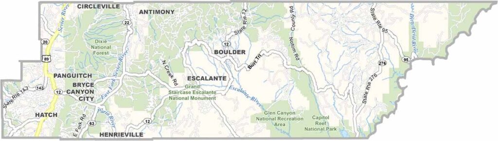
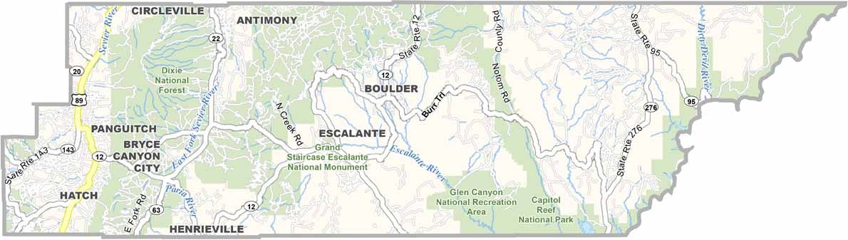
Red rocks and open skies define this corner of southern Utah. Garfield County is home to some of the state’s most iconic landscapes, including Bryce Canyon National Park and part of Capitol Reef.
The county’s small towns have a frontier feel. Panguitch, the largest, hosts a quirky annual quilt walk. Outdoor adventures are the big draw here, with hiking, camping, and stargazing all popular choices.
The Escalante River carves through the wilderness, while Highway 12, an All-American Road, winds its way across the county. It’s a place that feels untamed, rugged, and wild.
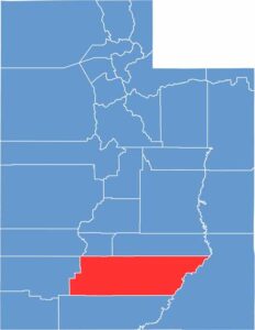
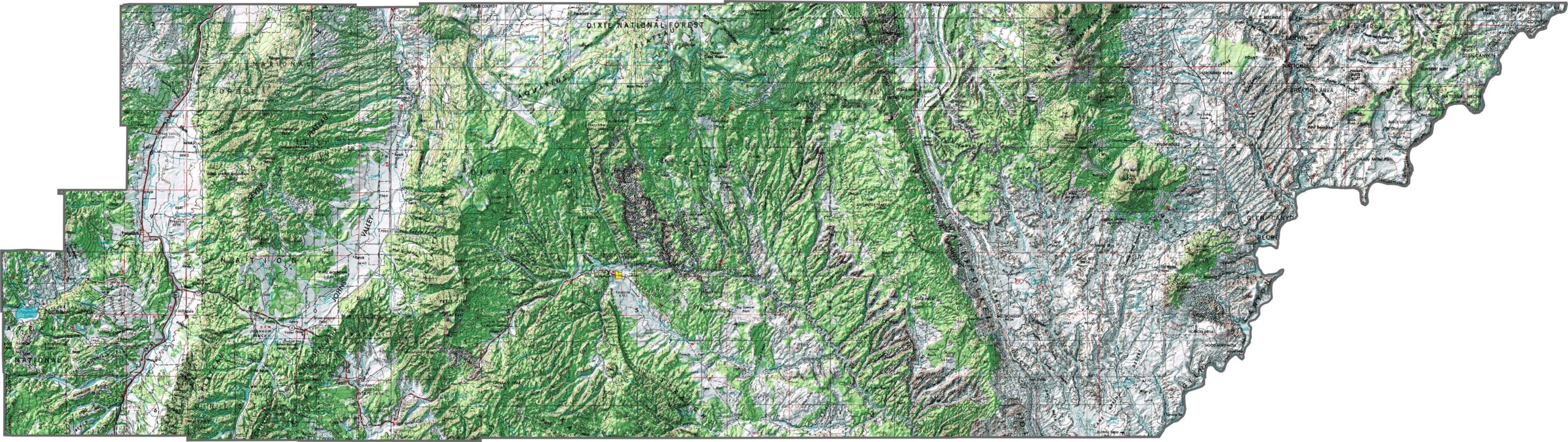
Garfield County is rugged, remote, and full of fascinating geologic features. It’s home to Bryce Canyon, where hoodoos and amphitheaters carve deep into the plateau. Elevation changes dramatically from canyon floors to alpine peaks. To say the least, it’s one of the most varied landscapes in Utah.
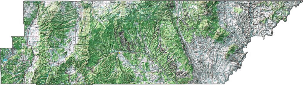
You won’t find an interstate here, but that doesn’t mean the roads aren’t spectacular. Scenic Byway 12 cuts across the middle of the county and offers views that will make your jaw drop. Much of the county remains untouched, and although the roads aren’t heavily trafficked, every route leads somewhere interesting.
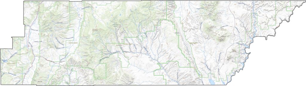
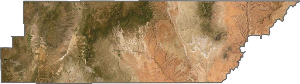
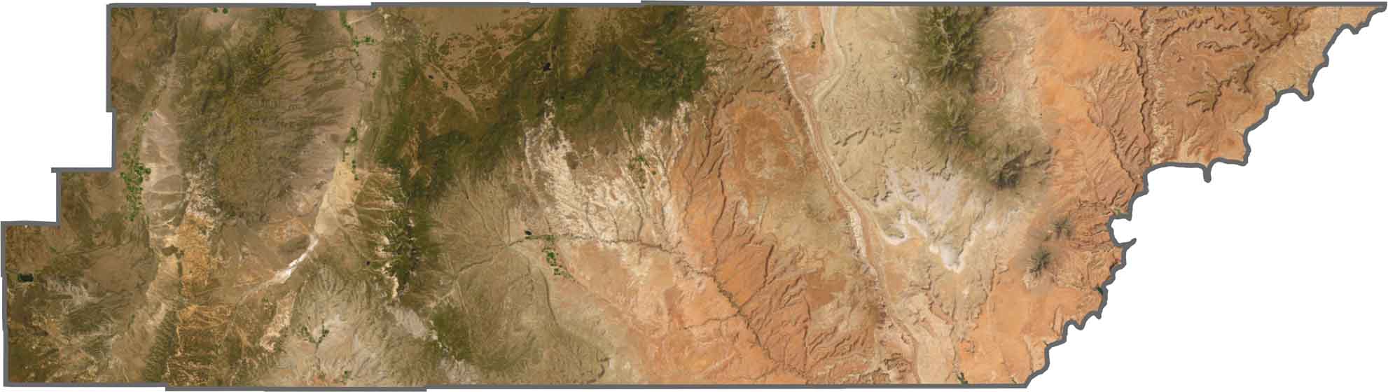
Our satellite map of Garfield County is a wild swirl of color and texture. Reddish rock dominates much of the south and east, while forested mountains take over the highlands. Bryce Canyon stands out clearly with its pale formations. The terrain looks harsh in places, but it’s undeniably beautiful.
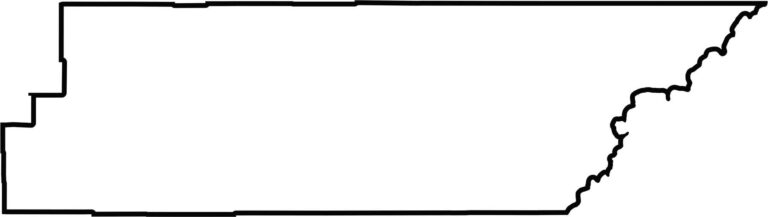
The county’s shape is odd and angular, with wide stretches and jagged corners. It lies near Arizona to the south but doesn’t share a border with another state. The Colorado River forms its eastern boundary. It’s one of the larger counties in the state, and you can feel its size just by looking at the outline.
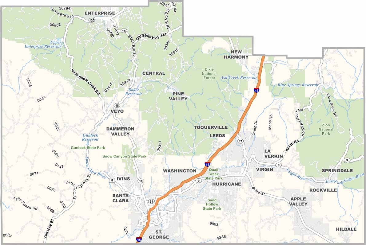
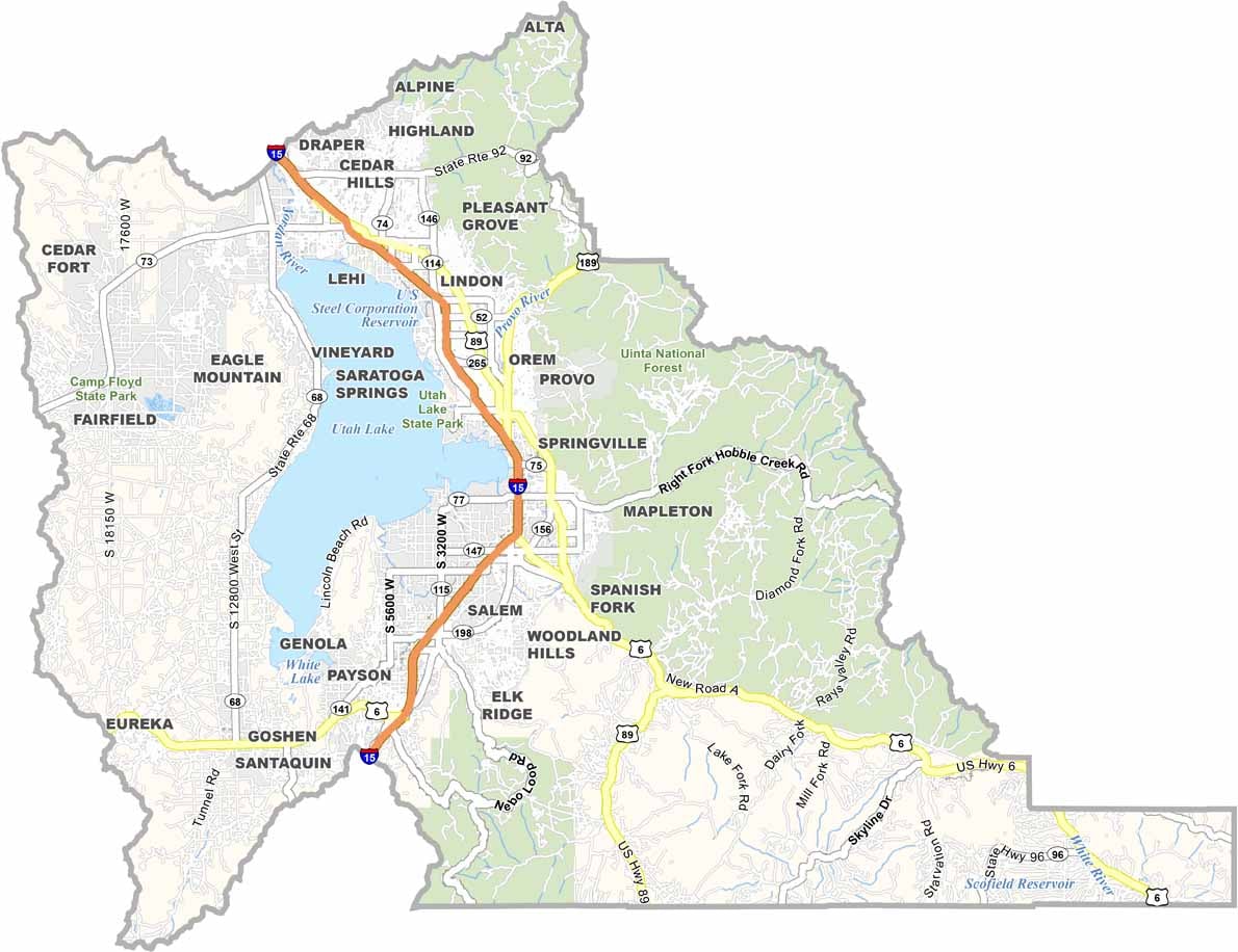
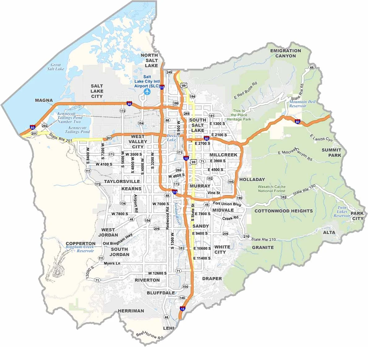
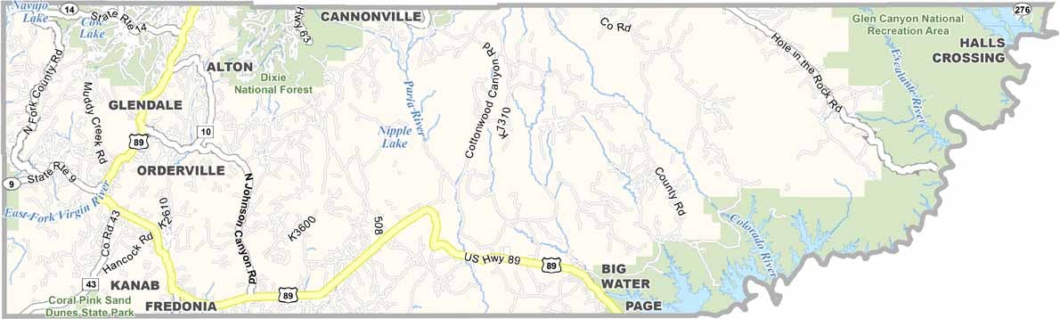


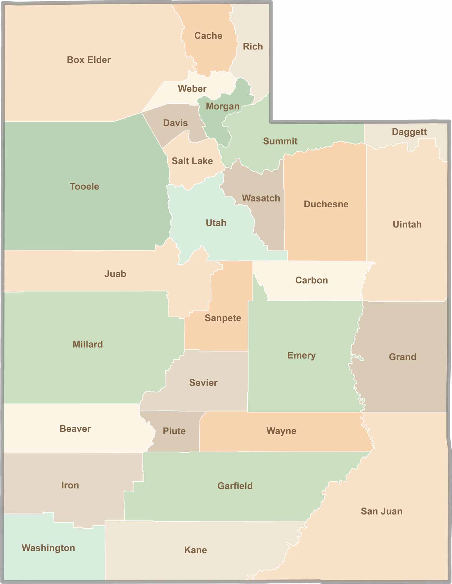
Utah’s 29 counties each have their own unique character and landscape. One is known for its stunning red rock formations, while another rises beneath snow-covered mountain peaks. From vast lava fields and salt flats to deep canyons, every county has a distinct landscape and a story of its own.