
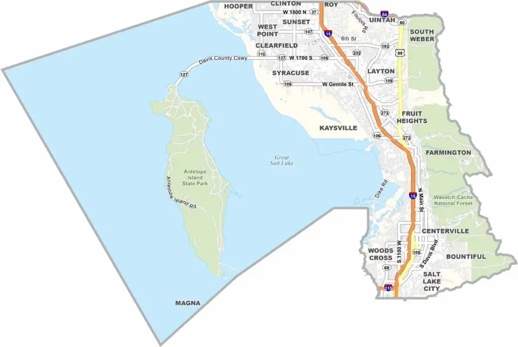
Davis County lies just north of Salt Lake City, stretching from the Wasatch Mountains to the shores of the Great Salt Lake. It’s a place where city life meets outdoor adventure.
The county has a mix of suburban neighborhoods and wide-open spaces. Farmington and Layton are the big towns here, but don’t sleep on Antelope Island. This state park is home to roaming bison herds and plenty of opportunities to enjoy the outdoors.
Hiking trails? Check. Shopping malls? You bet. It’s family-friendly but still has an edge. And let’s not forget Hill Air Force Base, which brings a dash of military pride to the area.
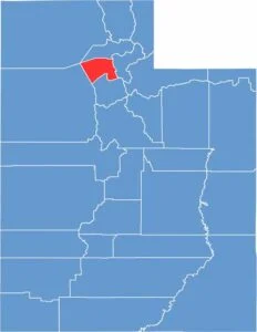
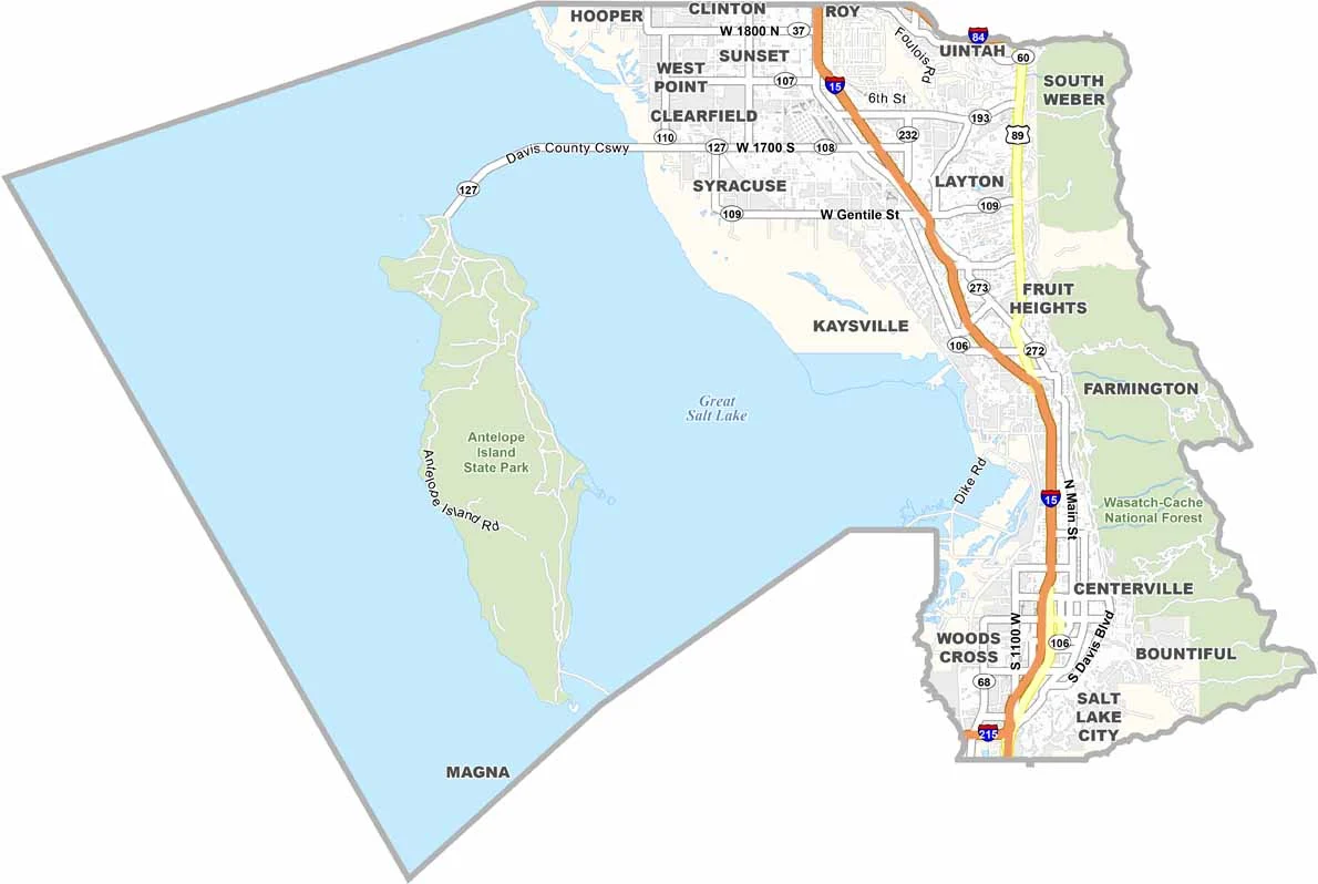
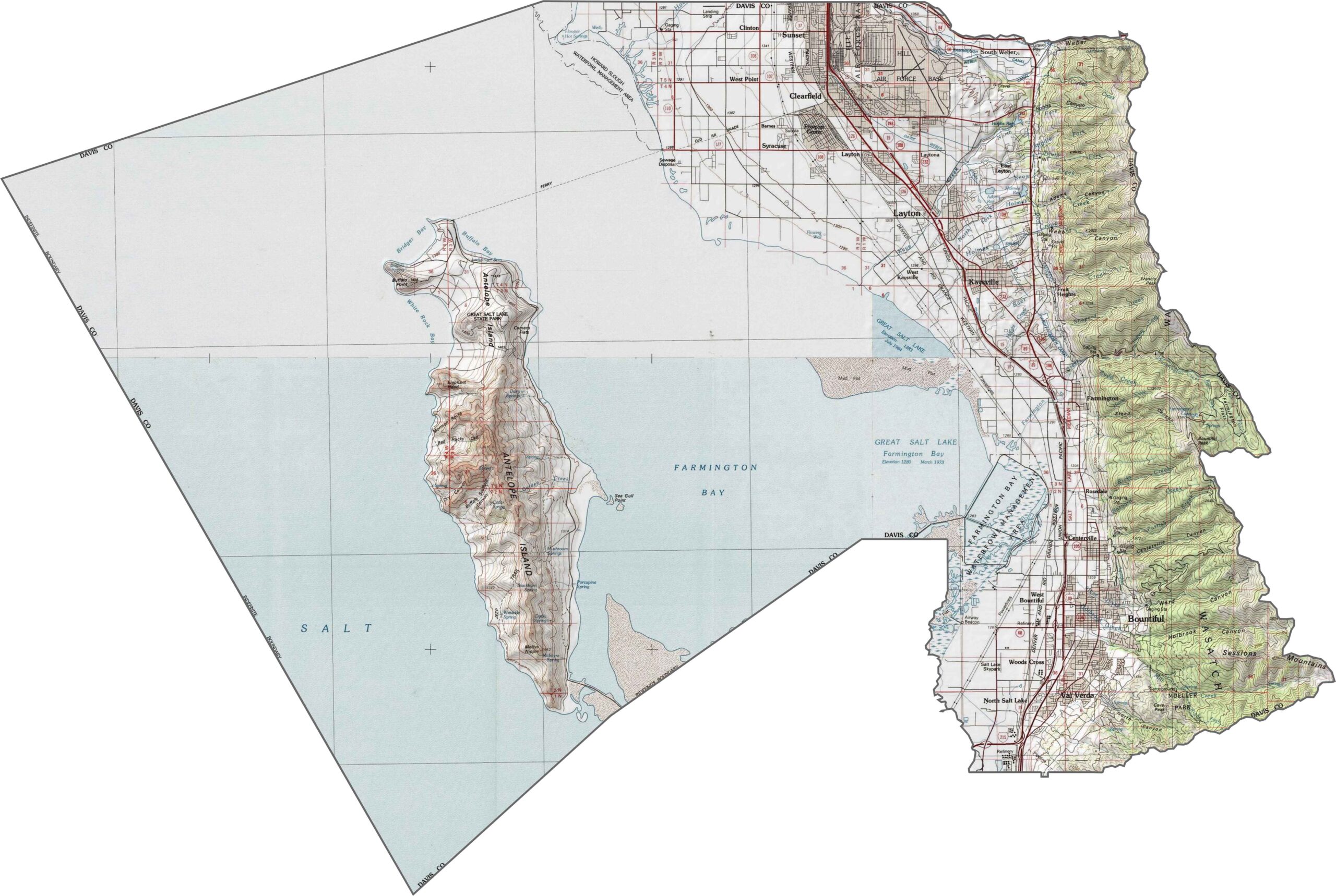
Davis County is squeezed between two extremes. The Great Salt Lake fills the west, while the Wasatch Range covers the eastern edge of the county. This creates a narrow band of habitable land, where the terrain quickly shifts from flat, marshy shoreline to steep foothills. Antelope Island rises from the lake, adding a 42-square-mile feature to the Great Salt Lake.
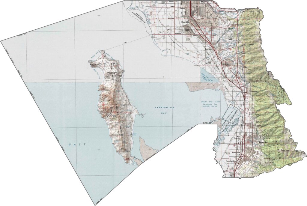
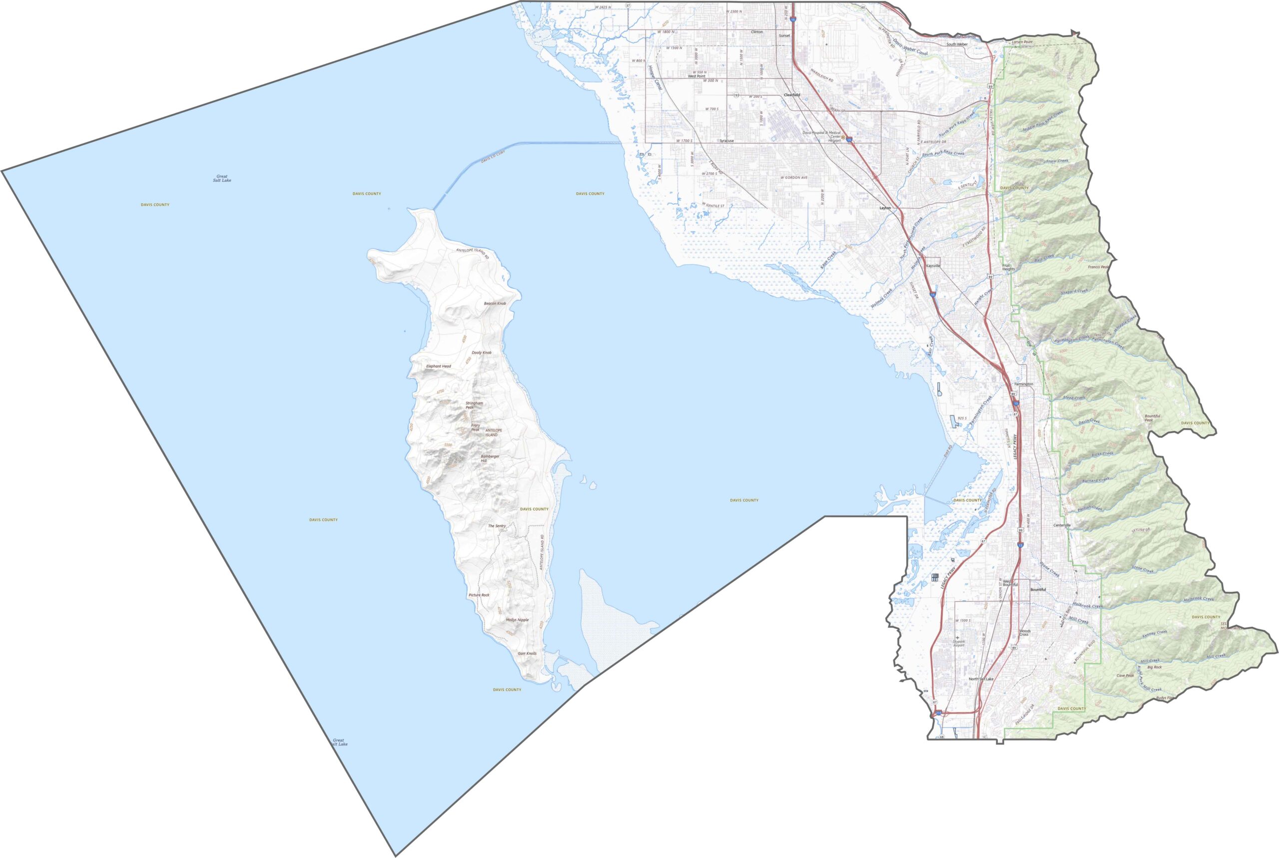
Davis County is all about access. I-15 runs straight through the middle, connecting communities from Farmington to Layton. Despite the urban stretch, there are pockets where traffic slows and views open up. East-west roads fan toward the lake and mountains. Our road map’s zoom tool makes it easy to explore each route.
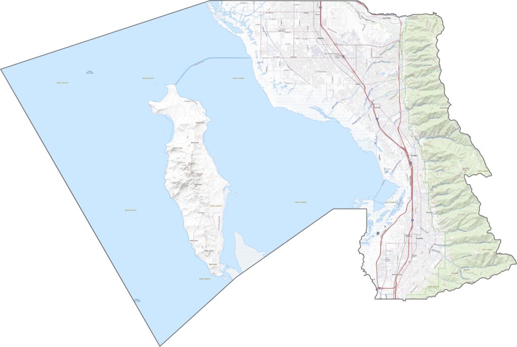
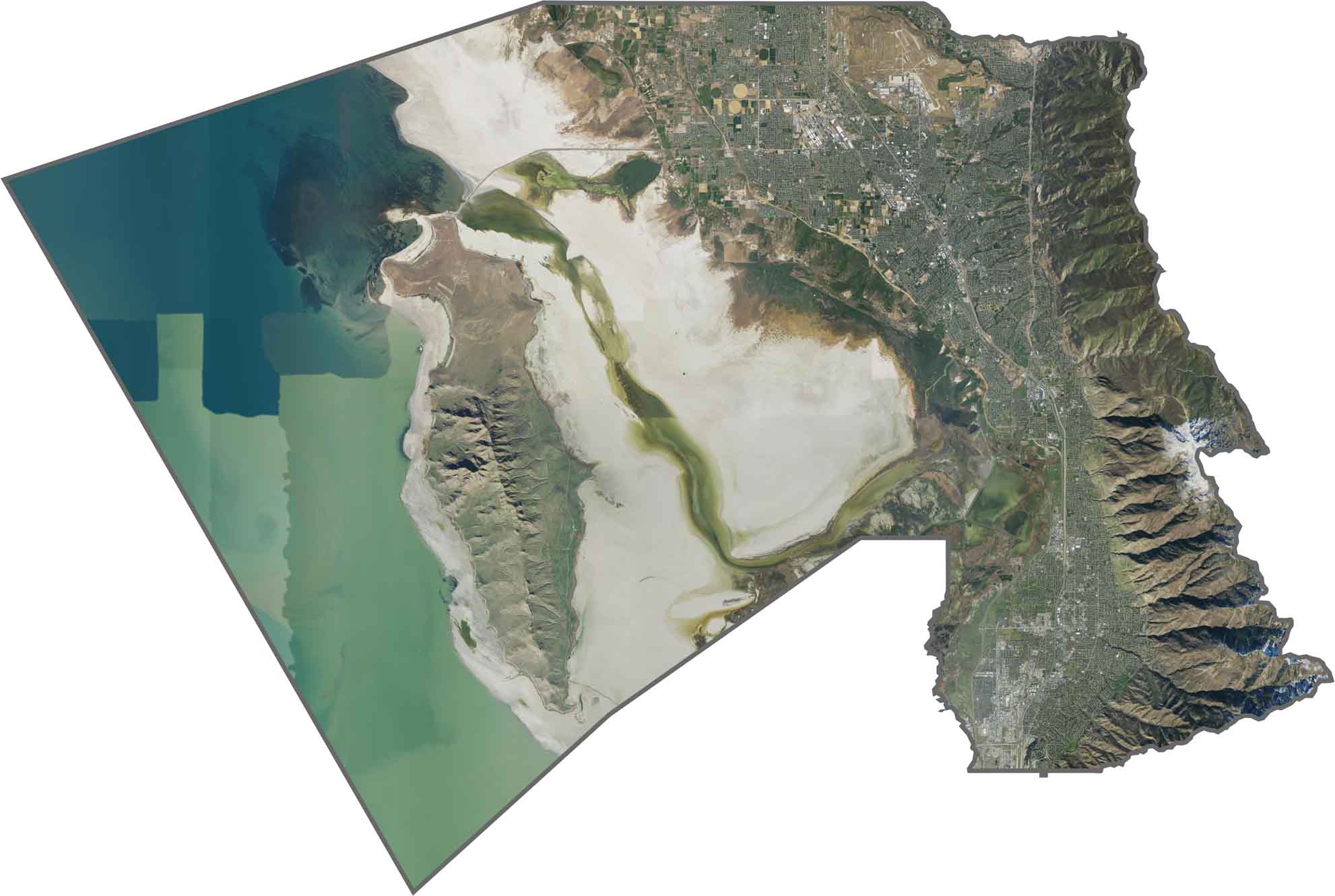
From above, Davis County is a mix of green lawns, urban grids, and water. Dense development fills the center, while the county is flanked by water on one side and foothills on the other. Antelope Island appears isolated, brown, dry, and wild-looking.
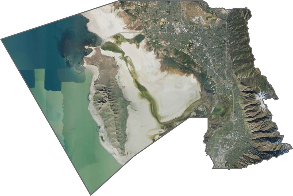
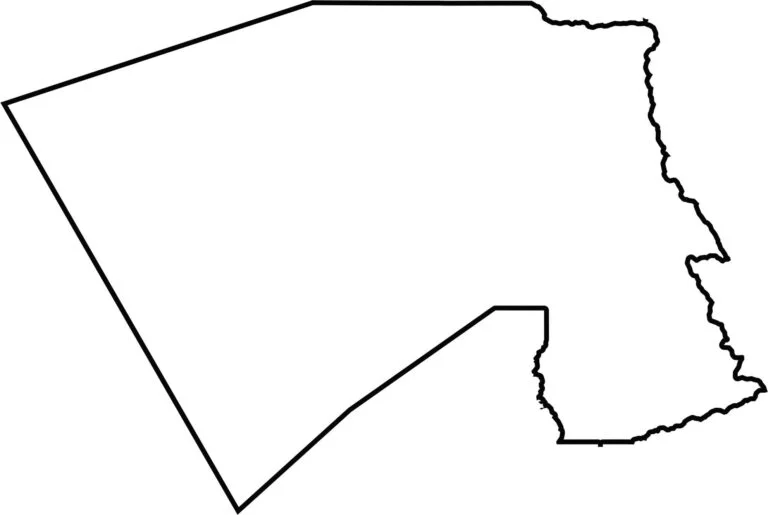
The shape of Davis County is irregular. Its western edge runs along the Great Salt Lake, while the eastern boundary climbs into the Wasatch Mountains. It doesn’t border another state, but it sits between Weber and Salt Lake Counties.
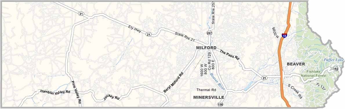
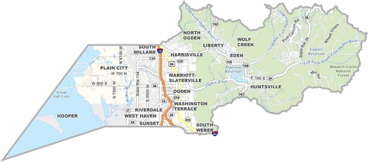

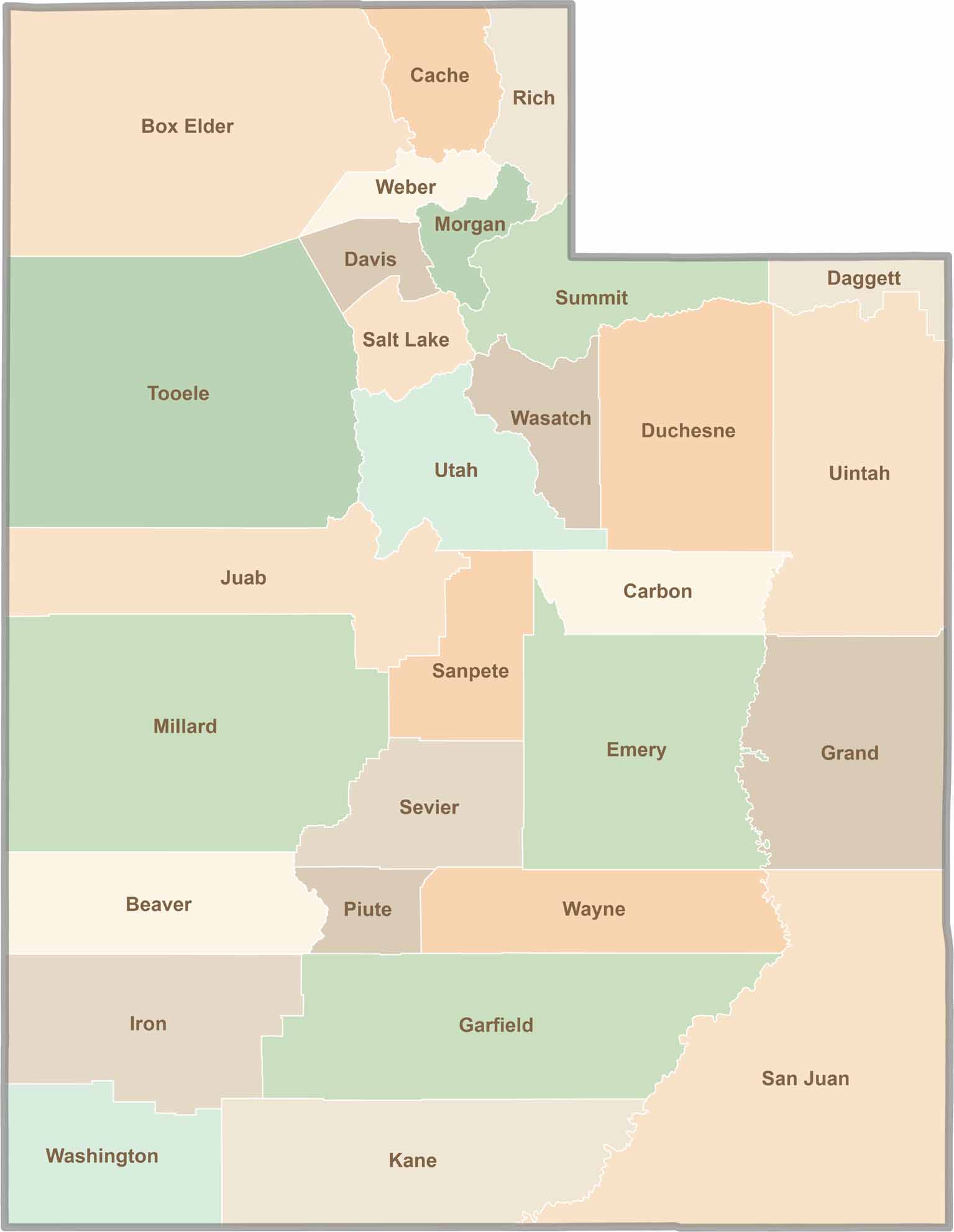
Utah’s 29 counties each have their own unique character and landscape. One is known for its stunning red rock formations, while another rises beneath snow-covered mountain peaks. From vast lava fields and salt flats to deep canyons, every county has a distinct landscape and a story of its own.