
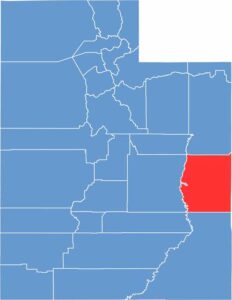
Arches National Park—that’s probably what you think of when you hear “Grand County.” And you’re not wrong. This southeastern Utah county is home to some of the most stunning red rock scenery in the world.
Moab is the hub, a small town with a big reputation for outdoor thrills. Mountain biking is huge here, and so is off-roading. The Colorado River runs through the county’s eastern region.
Canyonlands National Park is just next door. It’s not all tourists and adventure seekers, though. Ranching and mining still play a role in the local economy. The landscape here is enough to take your breath away.
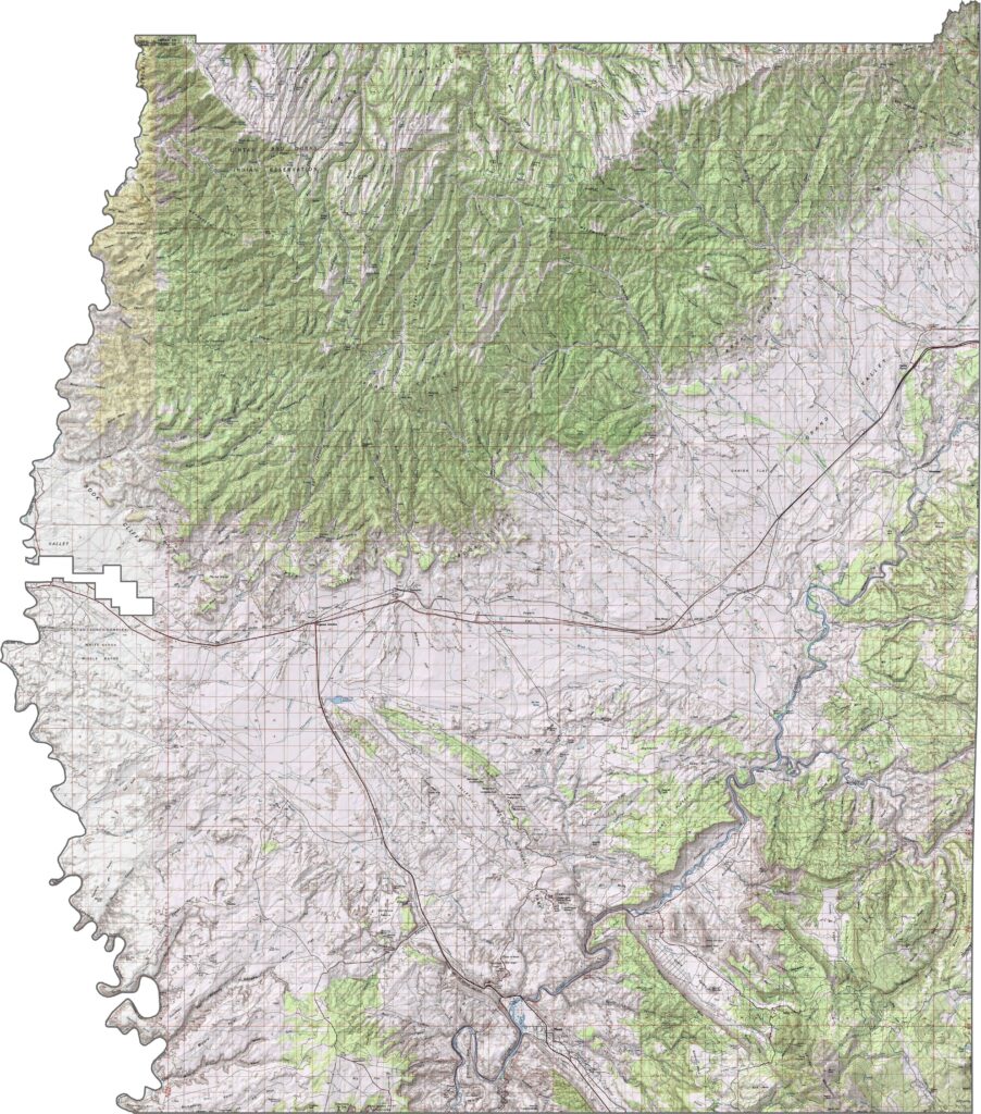
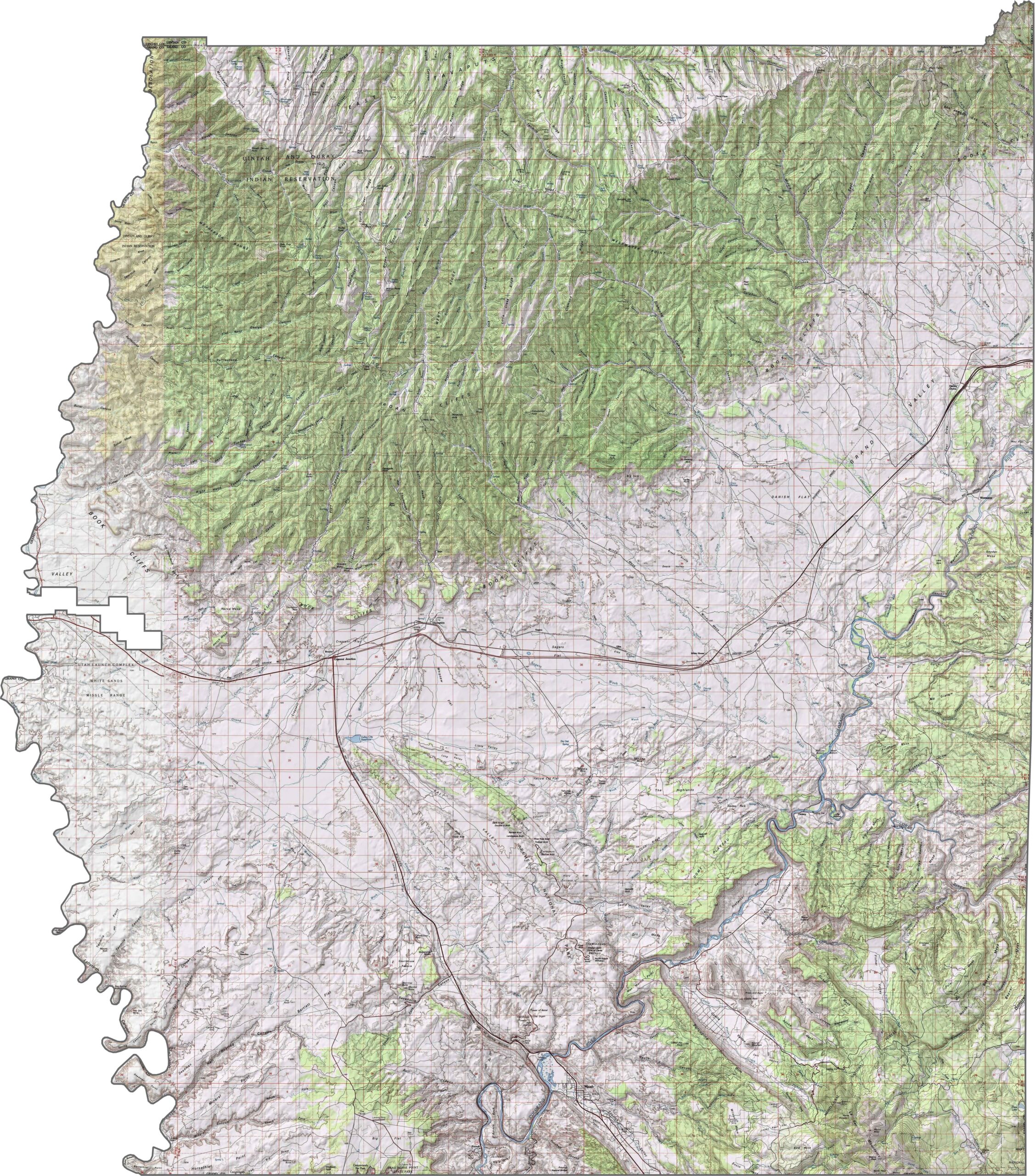
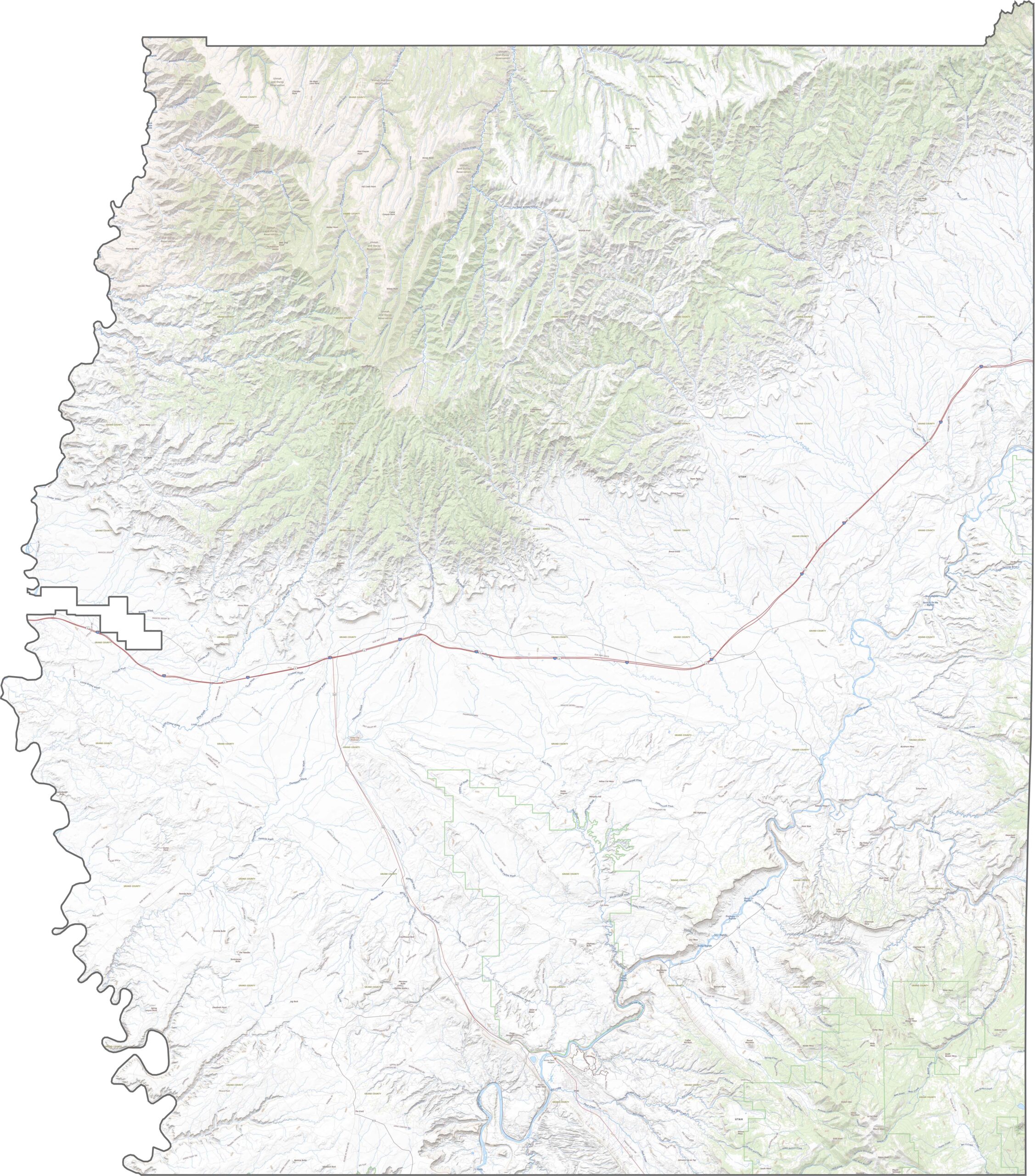
Grand County is shaped by rock, river, and open sky. The Colorado River cuts deep through red sandstone, sculpting mesas, cliffs, and canyons. Arches and buttes are common here, especially around Moab. Elevation rises east of the river and especially in the northwest.
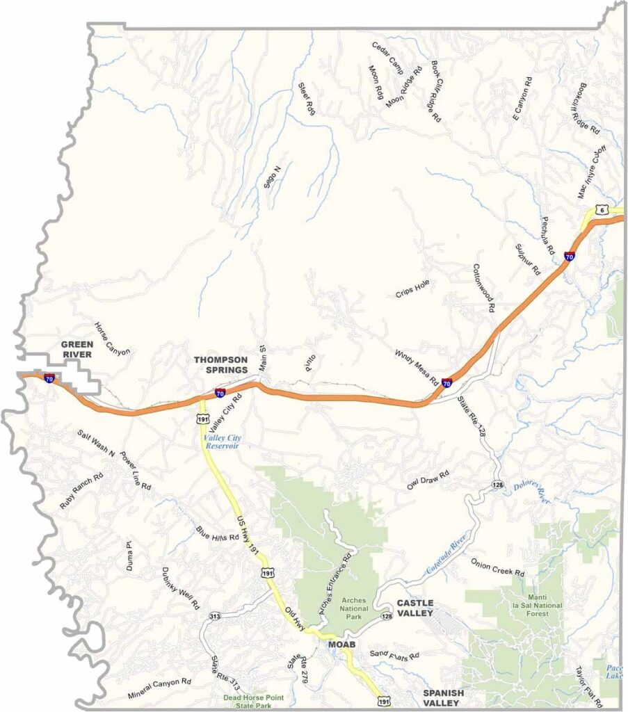
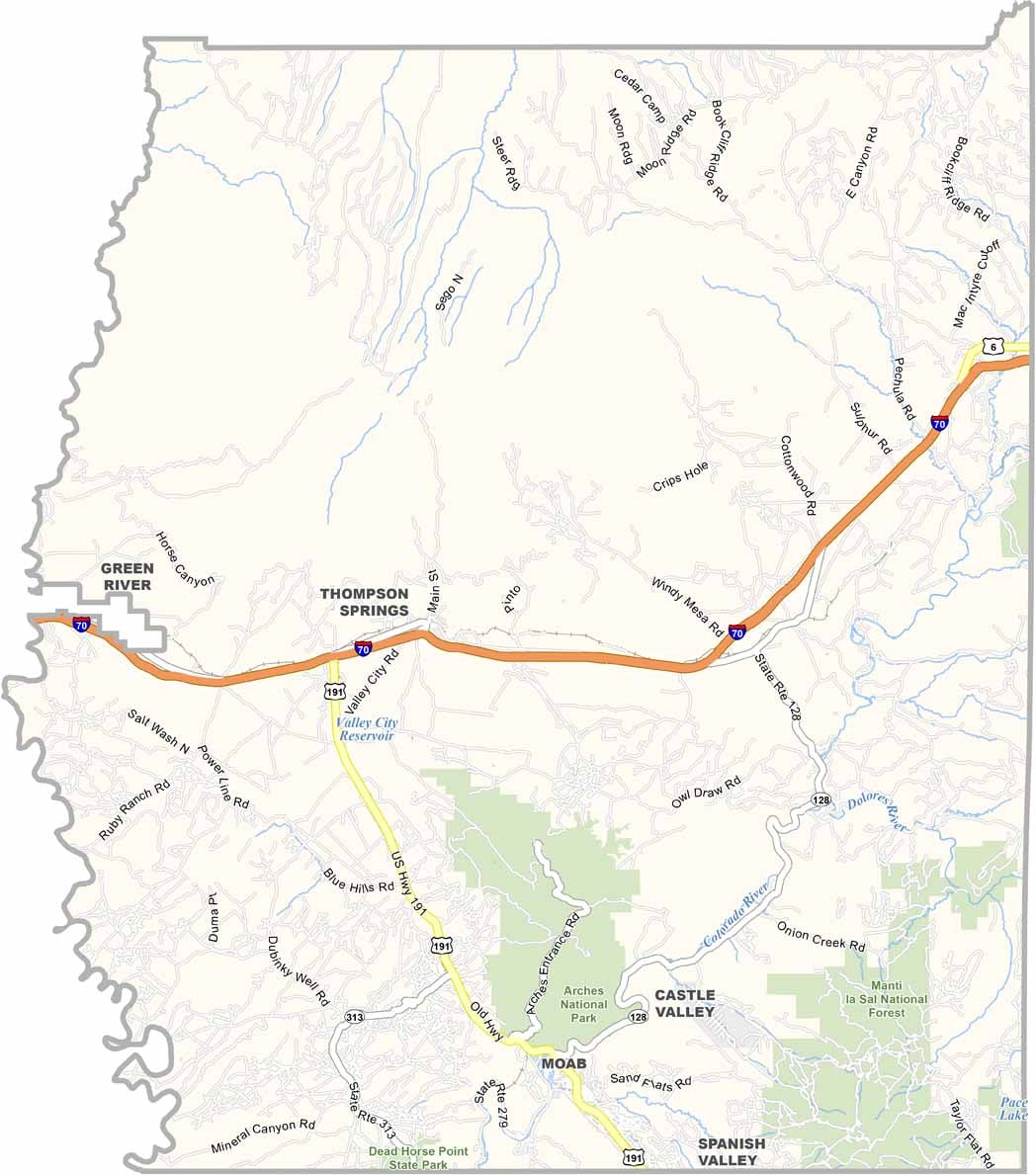
Despite the desert feel, Grand County is well connected. I-70 crosses the middle of the county, while US-191 runs south from the interstate, right through Moab. Some roads, however, lead to little more than viewpoints and trails. Even so, the network is surprisingly efficient. You can explore each route in detail with our zoom tool below.
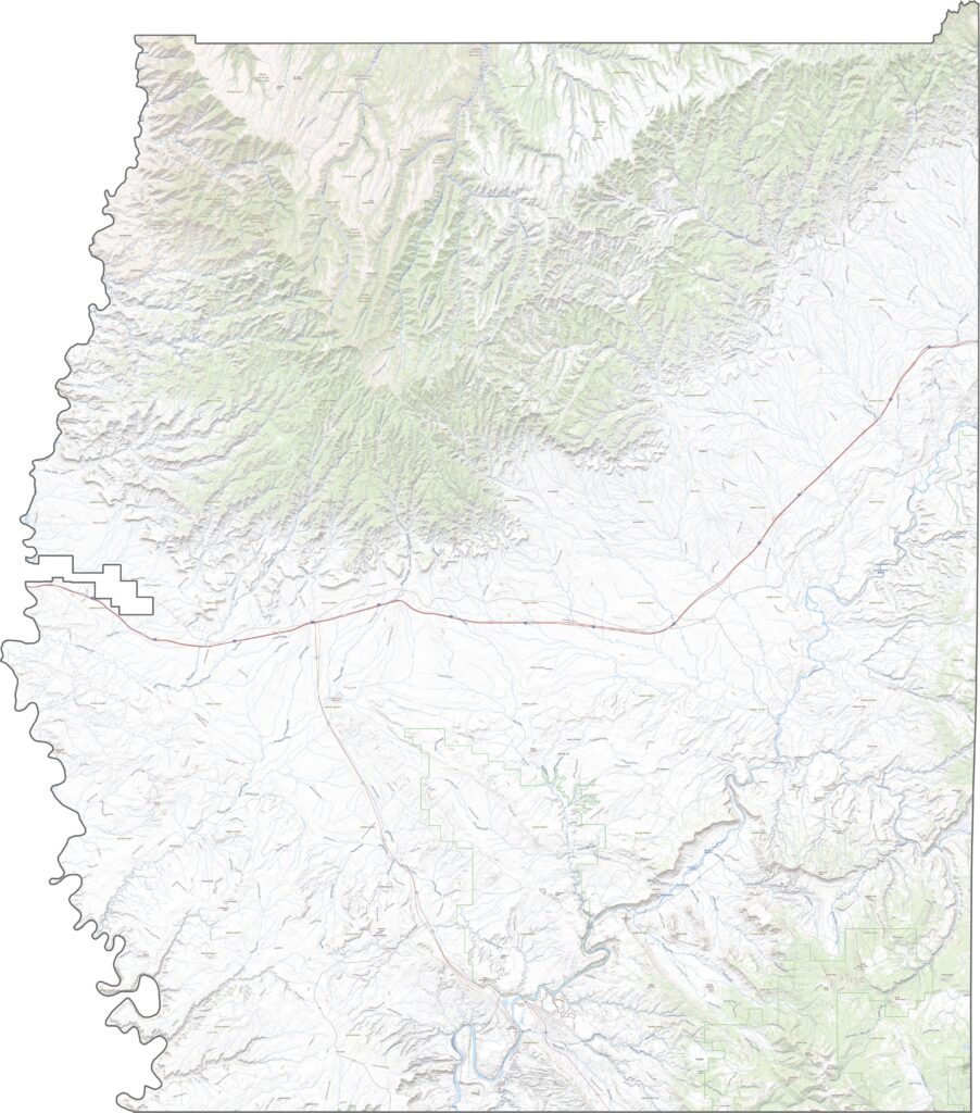
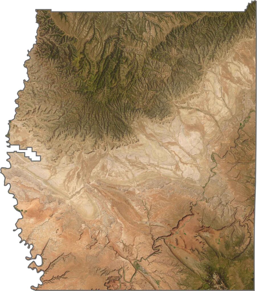
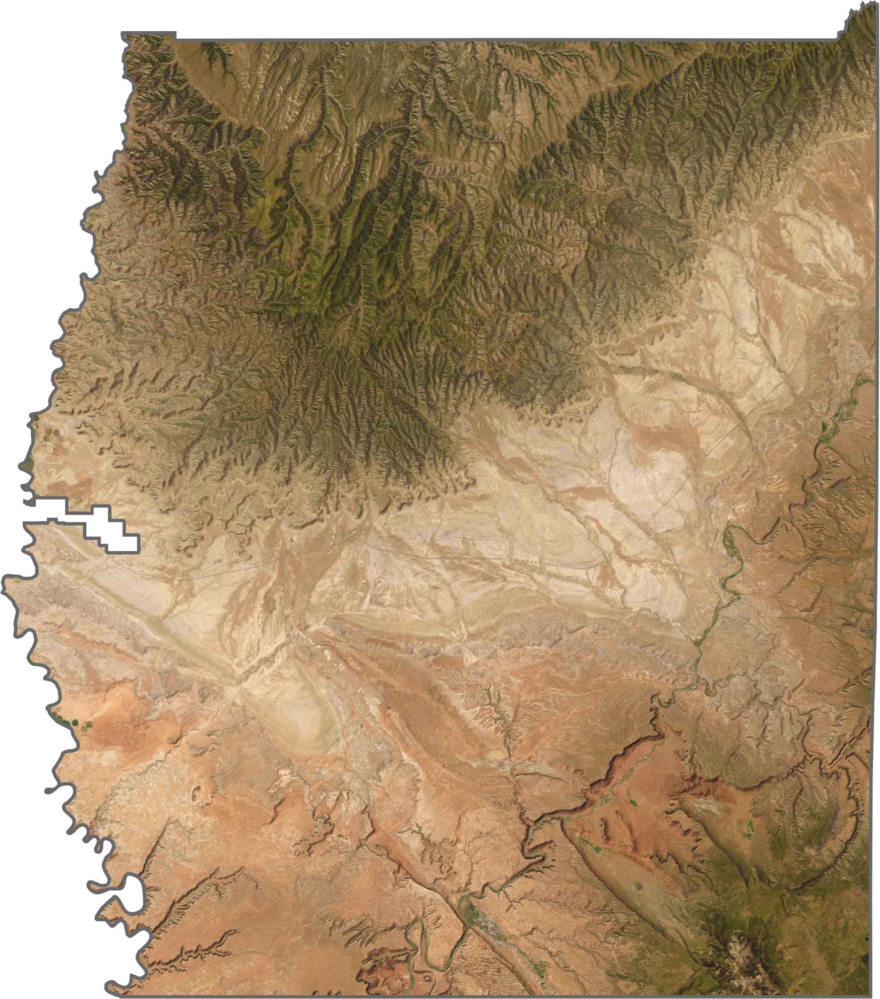
From space, Grand County looks like Mars with a river running through it. Red dominates the landscape, including the canyons, cliffs, and bare plateaus. The Colorado River winds in sharp curves through the dry landscape in the southeast, while Moab is one of the few bright spots of human activity.
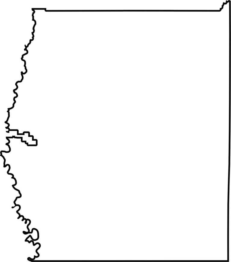
The county has mostly straight edges. The main exception is the western boundary, which follows the Green River. Its eastern edge borders Colorado.
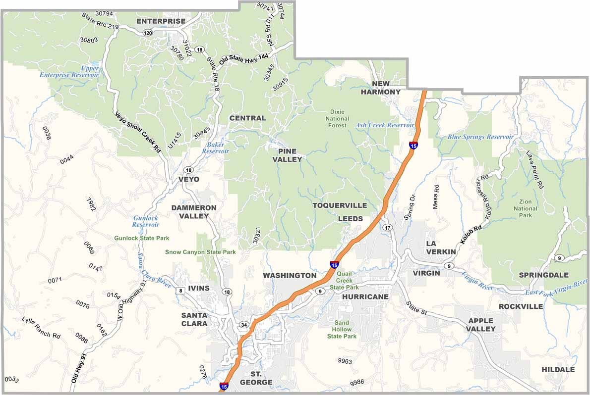
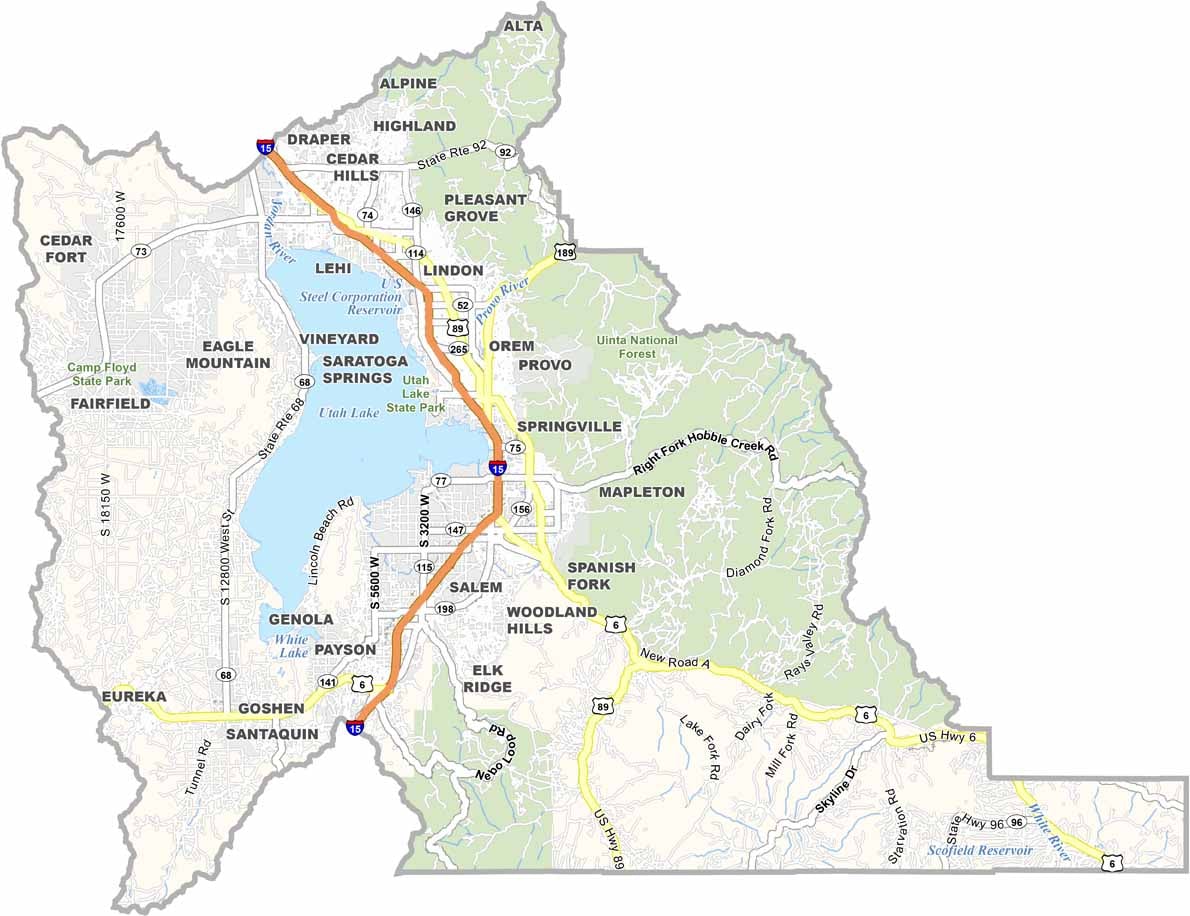
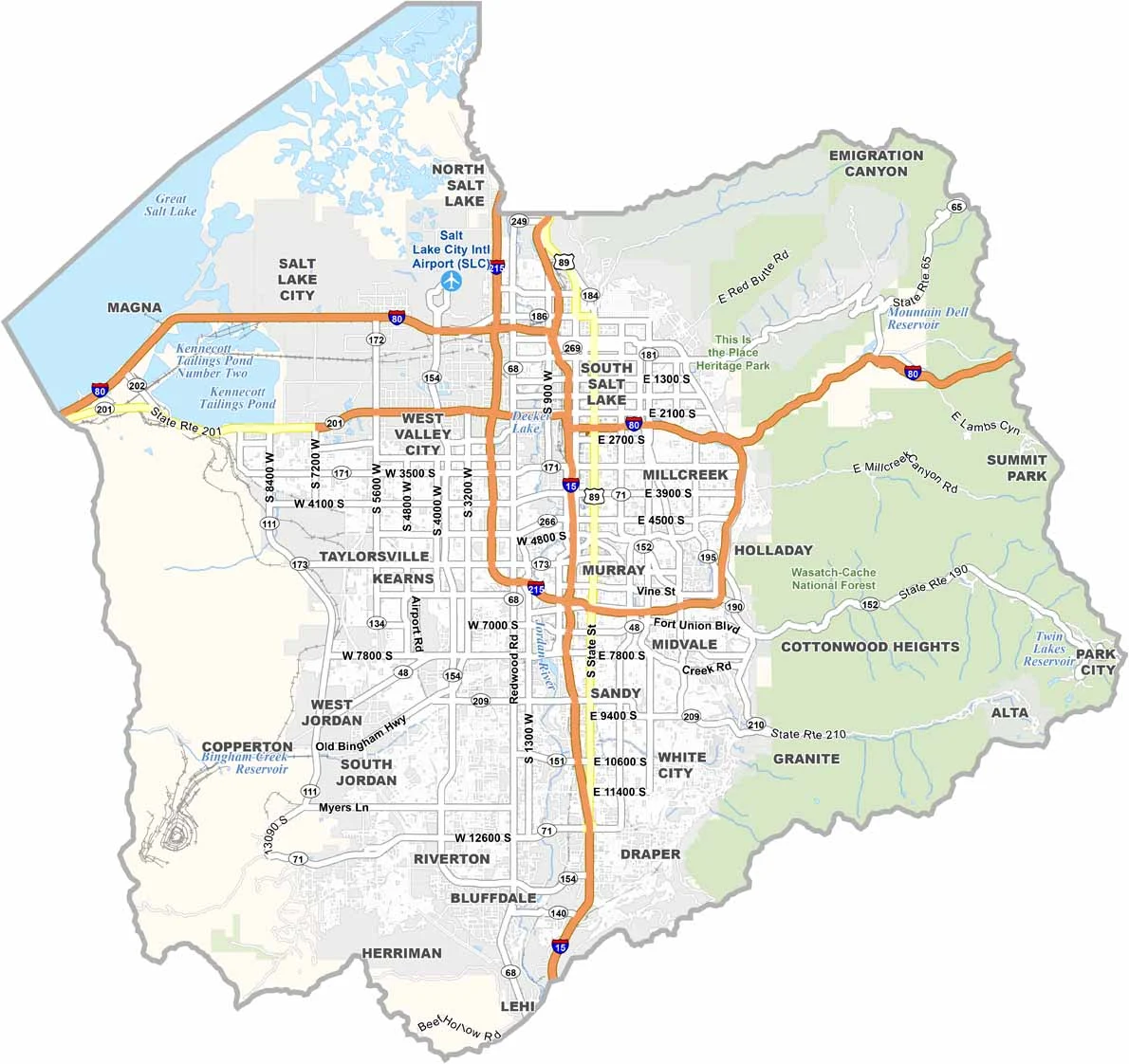
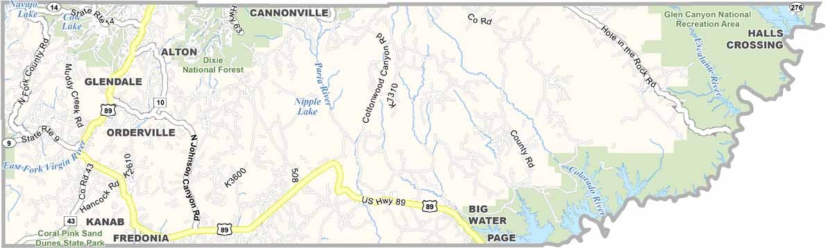

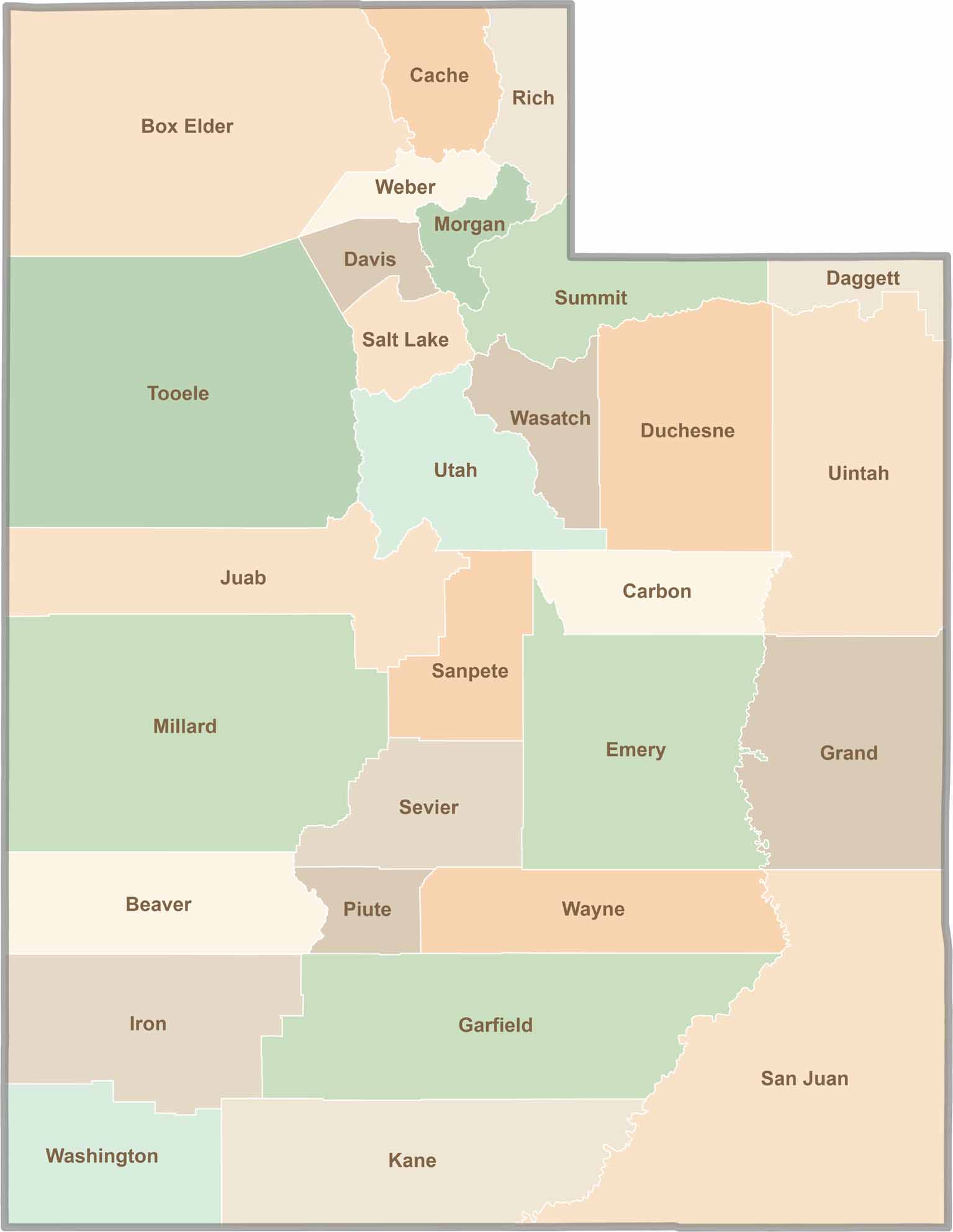
Utah’s 29 counties each have their own unique character and landscape. One is known for its stunning red rock formations, while another rises beneath snow-covered mountain peaks. From vast lava fields and salt flats to deep canyons, every county has a distinct landscape and a story of its own.