
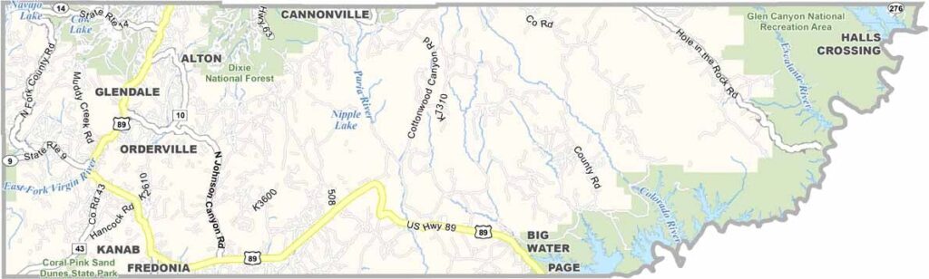
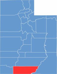
Kane County occupies Utah’s southern border and is a wonderland of slot canyons and colorful cliffs. The Grand Staircase dominates much of the landscape. It’s sparsely populated, with more cows than people in some parts.
Millions of visitors pass through each year, drawn by Lake Powell’s turquoise waters and Coral Pink Sand Dunes State Park. Kanab, the county seat, calls itself “Little Hollywood” thanks to its long history as a filming location for Westerns.
The county is named after Thomas L. Kane, a friend of the early Mormon settlers. Ranching is still big business here, and so is tourism. Kane County is the gateway to some of the most spectacular scenery in the American Southwest.
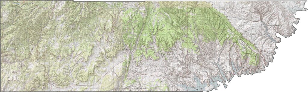
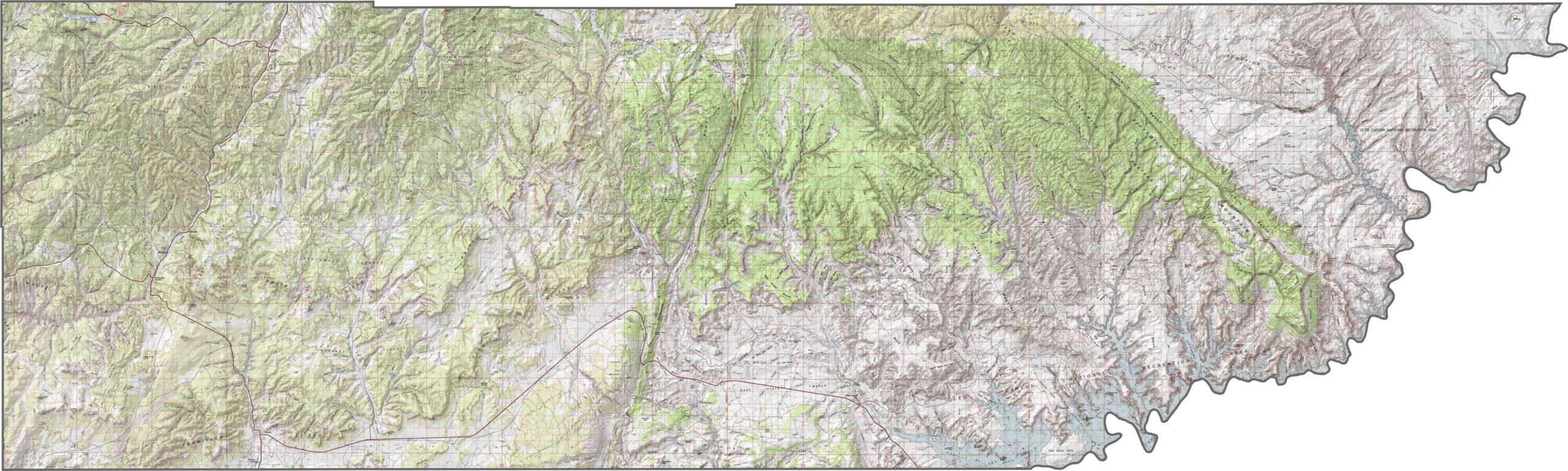
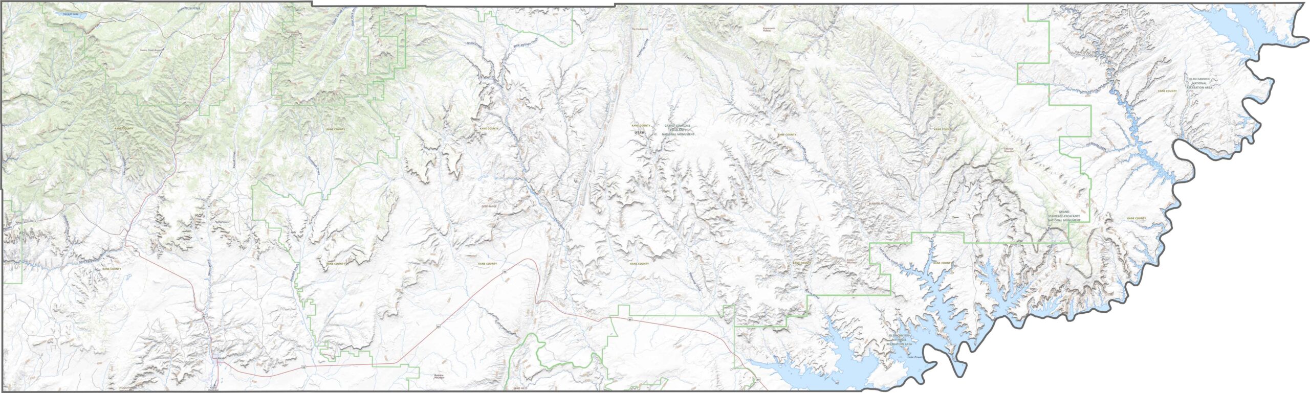
Kane County is a sculpted land of cliffs, canyons, and deep sandstone folds. It’s home to part of Grand Staircase–Escalante, and rugged doesn’t even begin to describe the landscape. You can use our zoom tool in our topographic map to explore the terrain further.
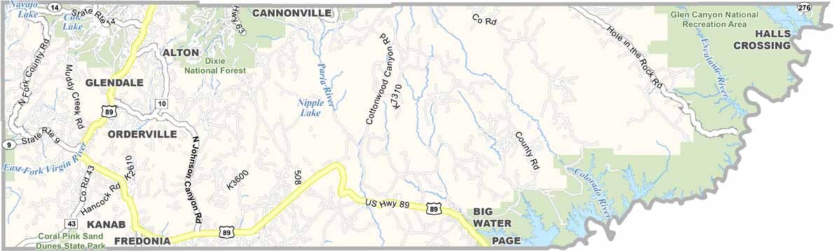
Kane County’s roads are few, but they go far. US-89 cuts through the southern part of the county, linking Kanab to areas farther east and west. While you won’t find any interstates here, scenic drives and dirt roads lead to hidden wonders. Just don’t expect a straight shot anywhere.
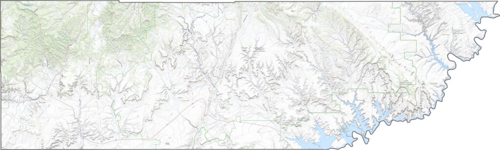
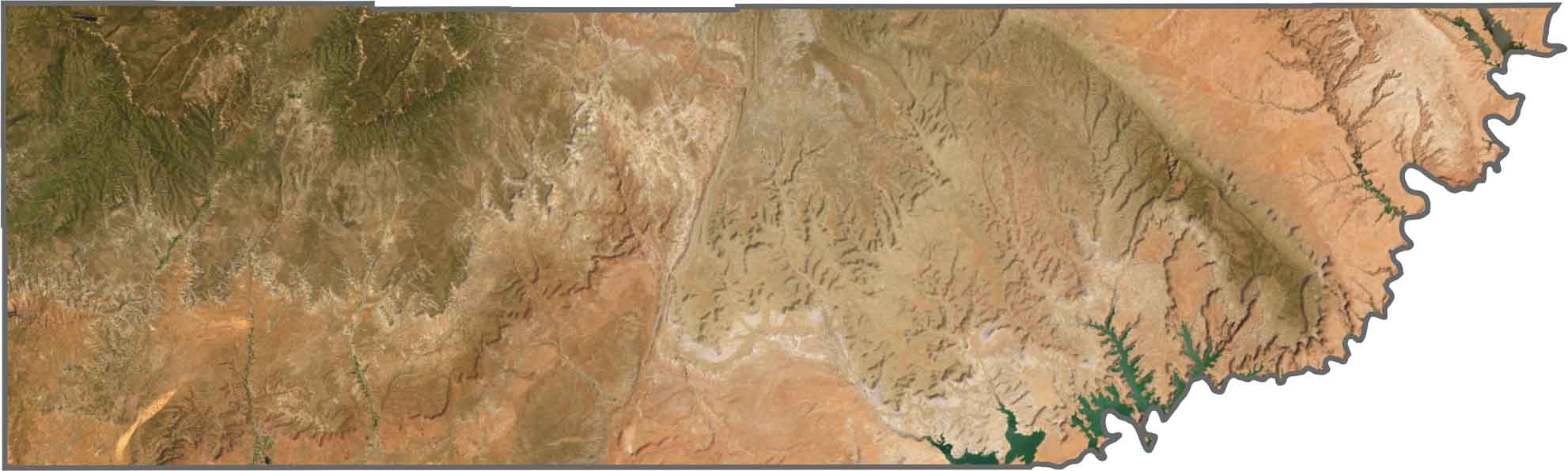
Kane County is a swirl of rusty reds, pale washes, and occasional dark green ridges. Kanab appears as a small grid surrounded by rock, while Lake Powell sneaks into our satellite map along the eastern side. Overall, the county looks dry, rugged, and wild.
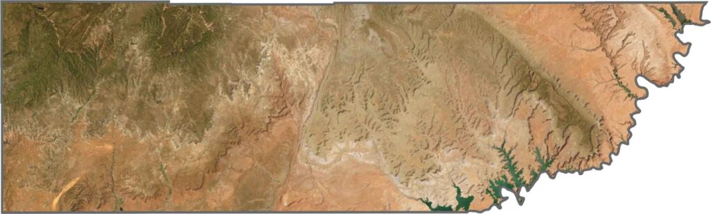
Kane County has mostly straight edges, except along its eastern border. The eastern boundary bends sharply with the flow of the Colorado River and Lake Powell.

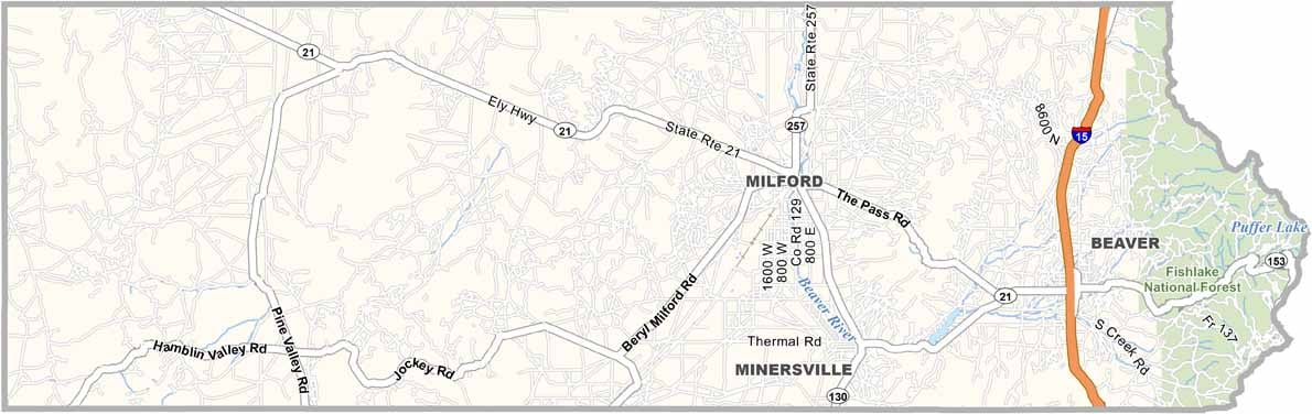
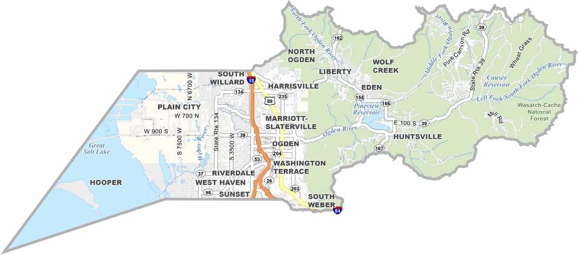
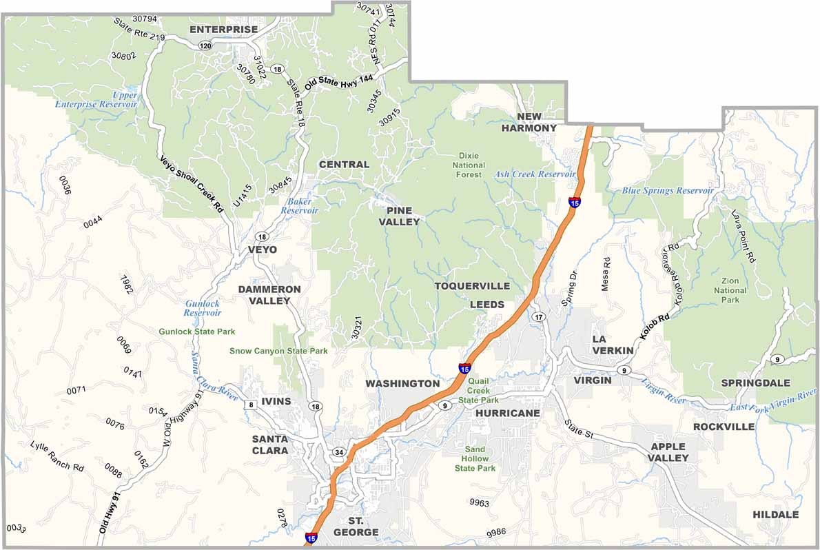


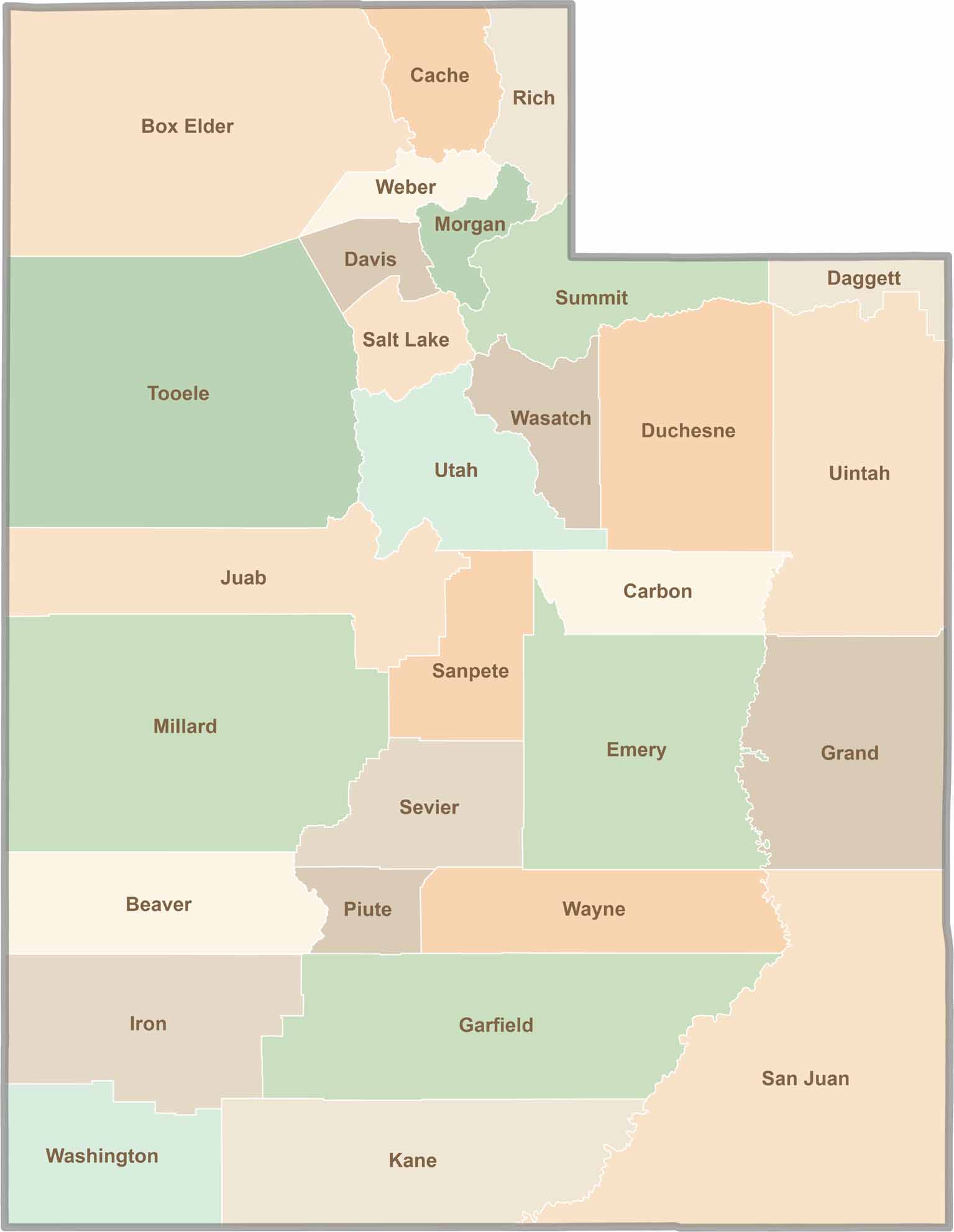
Utah’s 29 counties each have their own unique character and landscape. One is known for its stunning red rock formations, while another rises beneath snow-covered mountain peaks. From vast lava fields and salt flats to deep canyons, every county has a distinct landscape and a story of its own.