
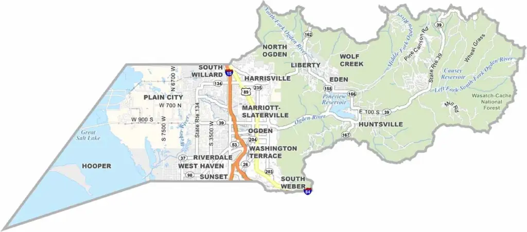
Weber County is located just north of Salt Lake City, with Ogden serving as the county seat. Once known as a rowdy railroad town, Ogden has transformed into a popular outdoor recreation destination. The towering Wasatch Mountains provide a stunning backdrop and offer world-class skiing during the winter.
During the summer, hikers and mountain bikers flock to the area’s extensive trail systems. Weber County has a unique split personality, where modern urban amenities blend with charming rural landscapes. The Great Salt Lake forms the county’s western border and provides an ideal setting for birdwatching and wildlife enthusiasts.
Despite its rapid growth, Weber County has maintained its distinctive and quirky character. It is a place where cowboys and tech workers can be found side by side, creating a unique mix of traditions and modern lifestyles. With continued growth and development, the future looks promising for this northern Utah county.Refine the rewrite
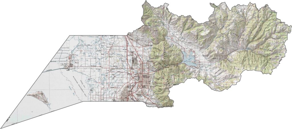
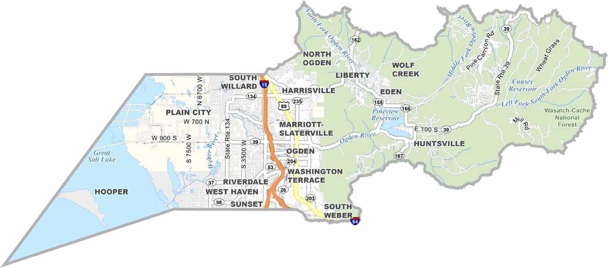
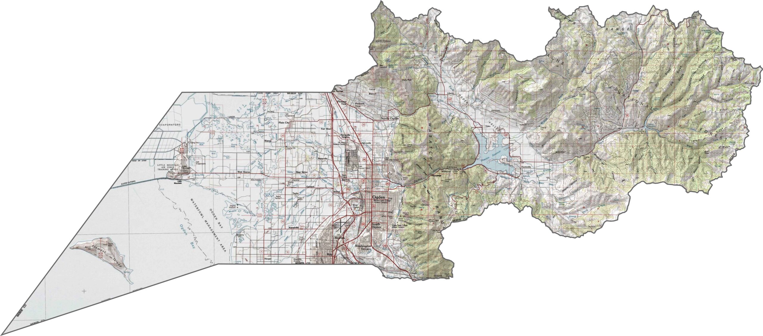
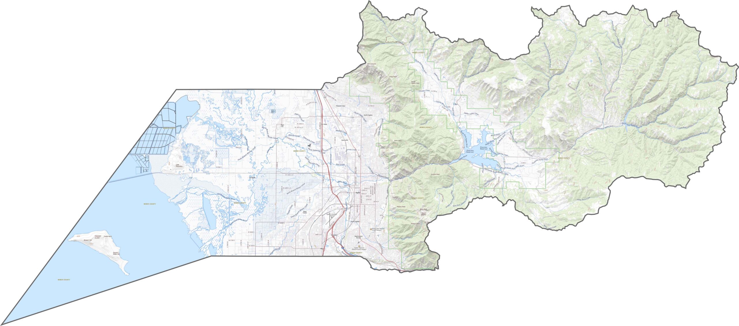
Weber County is nestled between water and mountains, with the Wasatch Range rising sharply along the eastern side and creating a stunning backdrop for Ogden. To the west, the landscape gradually slopes toward the Great Salt Lake. The county is also known for its steep, narrow canyons, particularly around the Ogden River.
Although Weber County is relatively compact, it is well connected by major transportation routes. I-15 and U.S. Highway 89 run north-south through the valley, providing convenient access across the area. Our zoom tool below makes it easy to trace each road through the city, valley, and surrounding canyons.
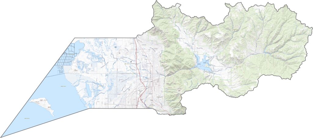
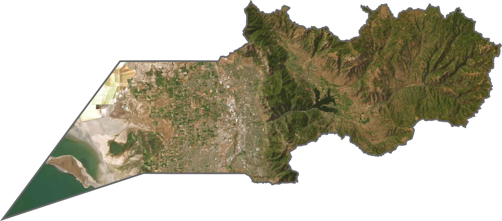
In the satellite image, Weber County appears almost divided into two distinct landscapes. The western side is mostly flat, featuring green agricultural fields and industrial areas, while the eastern side is dominated by forested ridges and steep canyons. Ogden spreads outward from the base of the mountains, while the shoreline of the Great Salt Lake to the west appears muddy and faded.
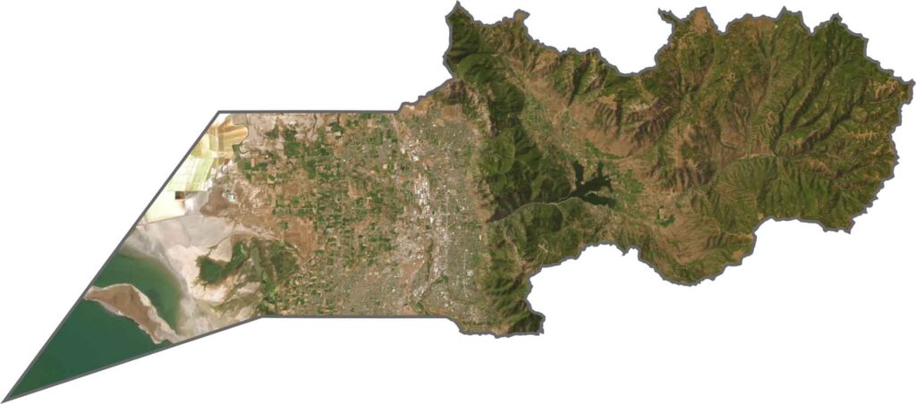
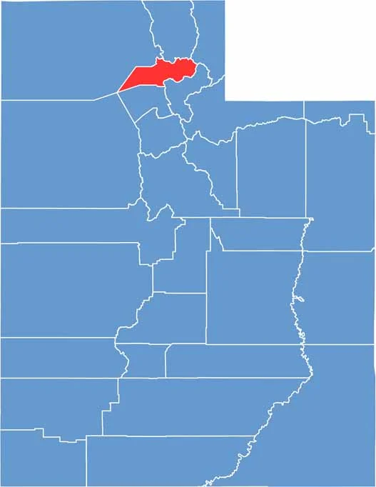
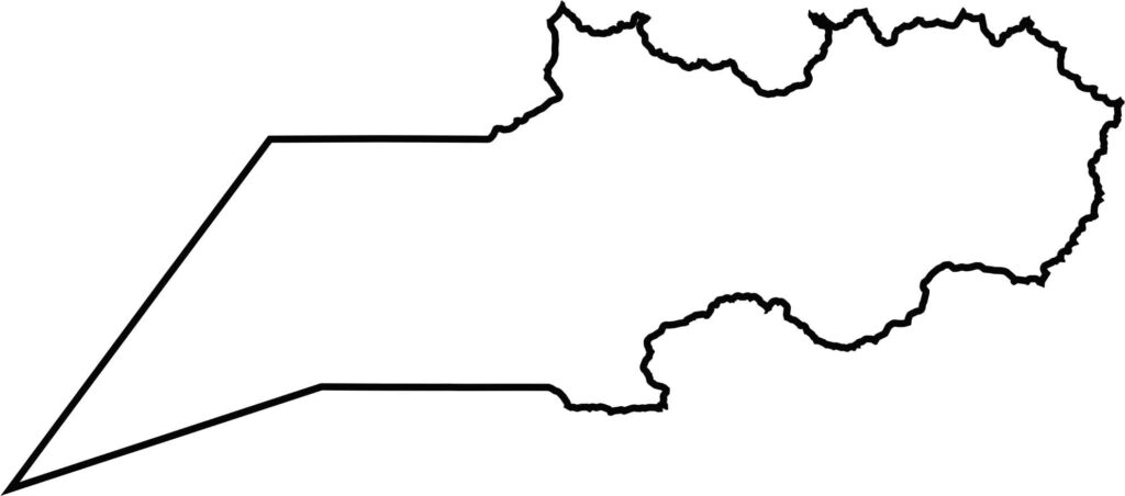
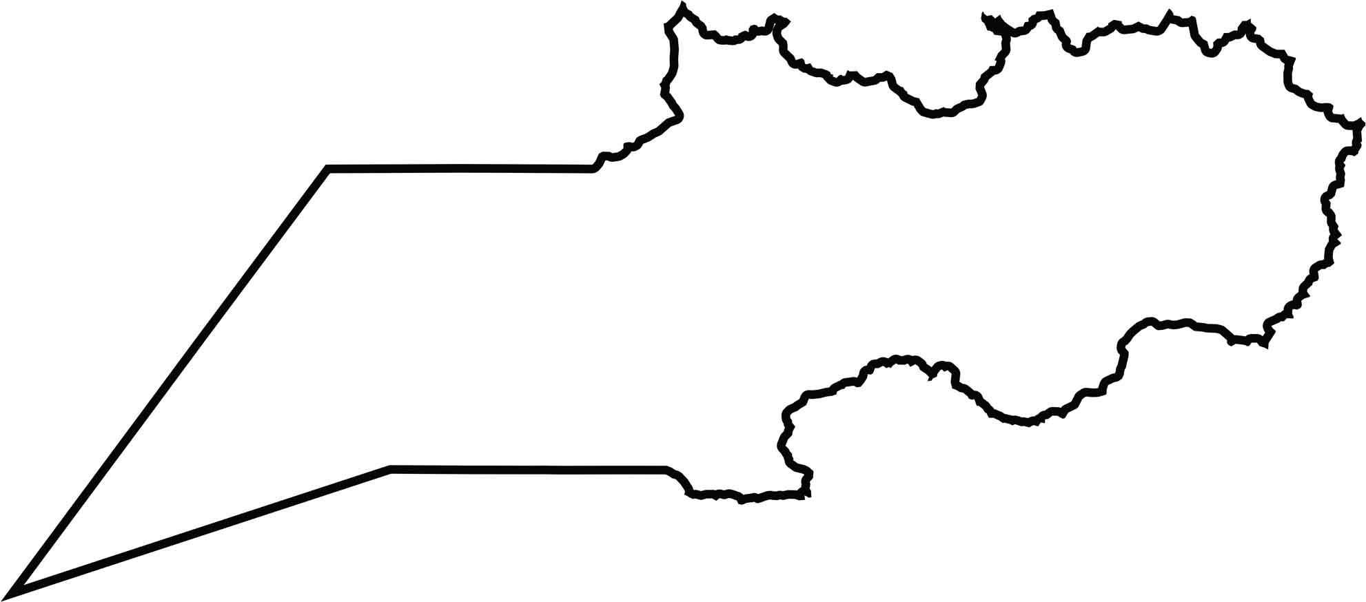
Weber County has a compact, somewhat boxy shape with a slight tilt. Its western boundary reaches the Great Salt Lake, while the remaining borders are shared with neighboring counties. The county does not directly border any state boundaries.
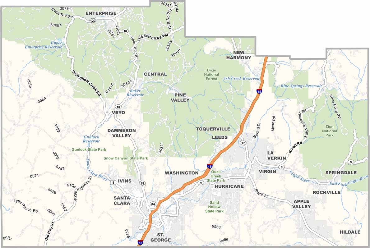
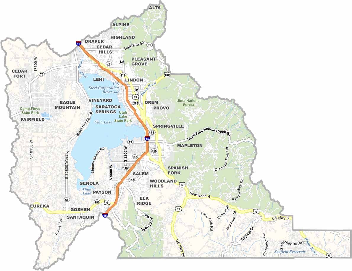
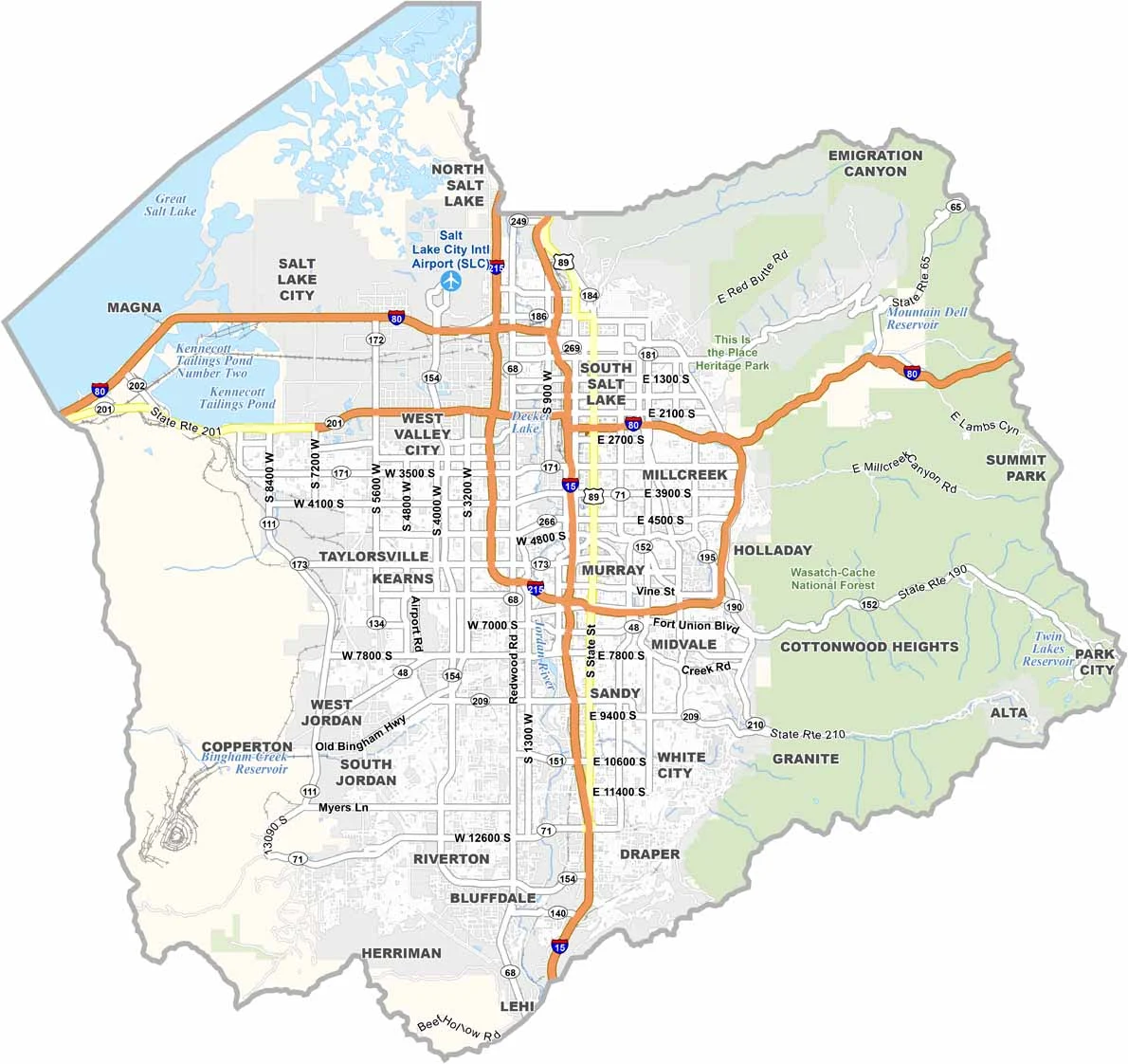
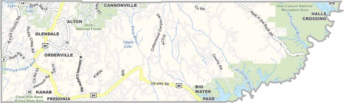

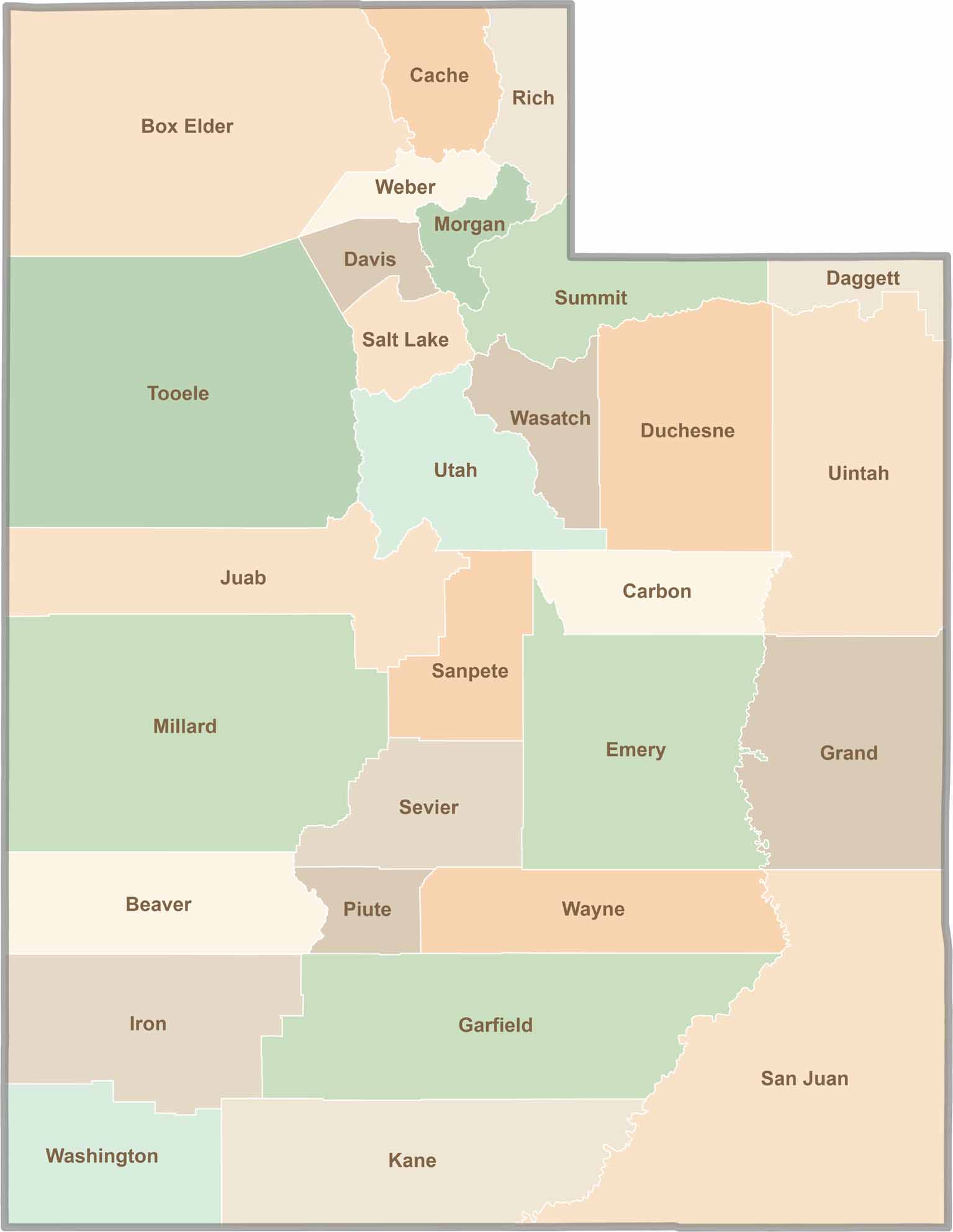
Utah’s 29 counties each have their own unique character and landscape. One is known for its stunning red rock formations, while another rises beneath snow-covered mountain peaks. From vast lava fields and salt flats to deep canyons, every county has a distinct landscape and a story of its own.