
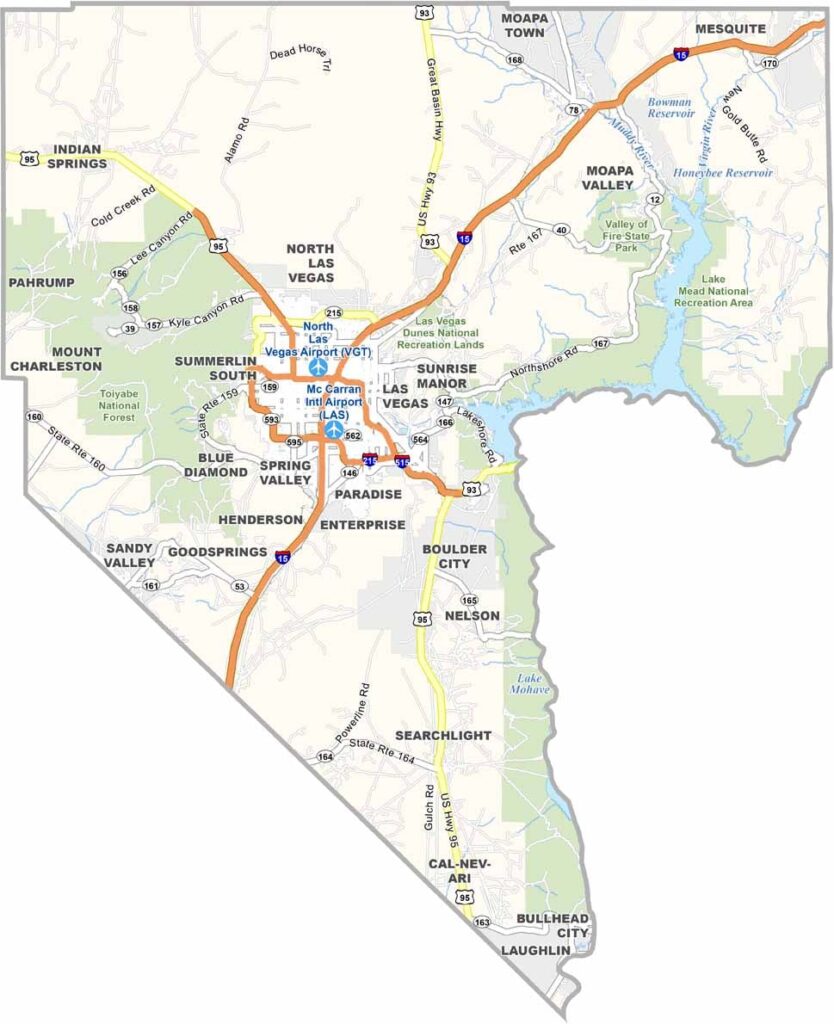
Clark County sits where the Mojave Desert stretches out under a blazing sun, in the southern tip of Nevada, bordering Arizona and California. It's home to Las Vegas, baby, the ultimate playground for adults.
The Strip gets all the attention, but there's more to this county than casinos and neon lights. Red Rock Canyon is a stone's throw away with its stunning rock formations, and Hoover Dam stands as a pinnacle of human engineering.
Clark County's population has exploded over the years, now topping 2 million folks, and it's a melting pot of cultures with food from every corner of the globe. Despite the glitz and glamor, you can still find pockets of tranquility in places like Lake Mead.
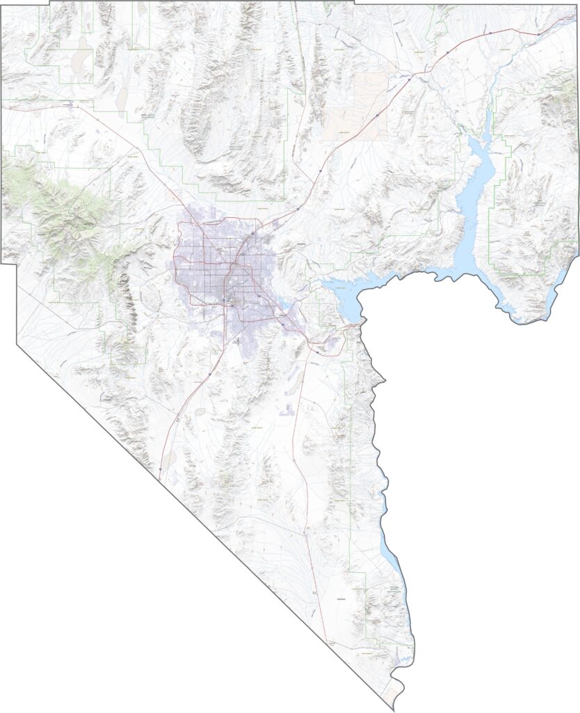
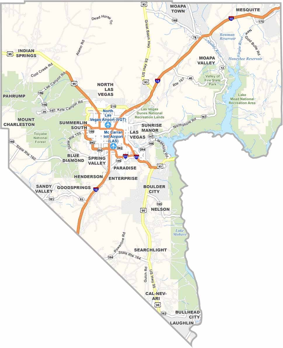
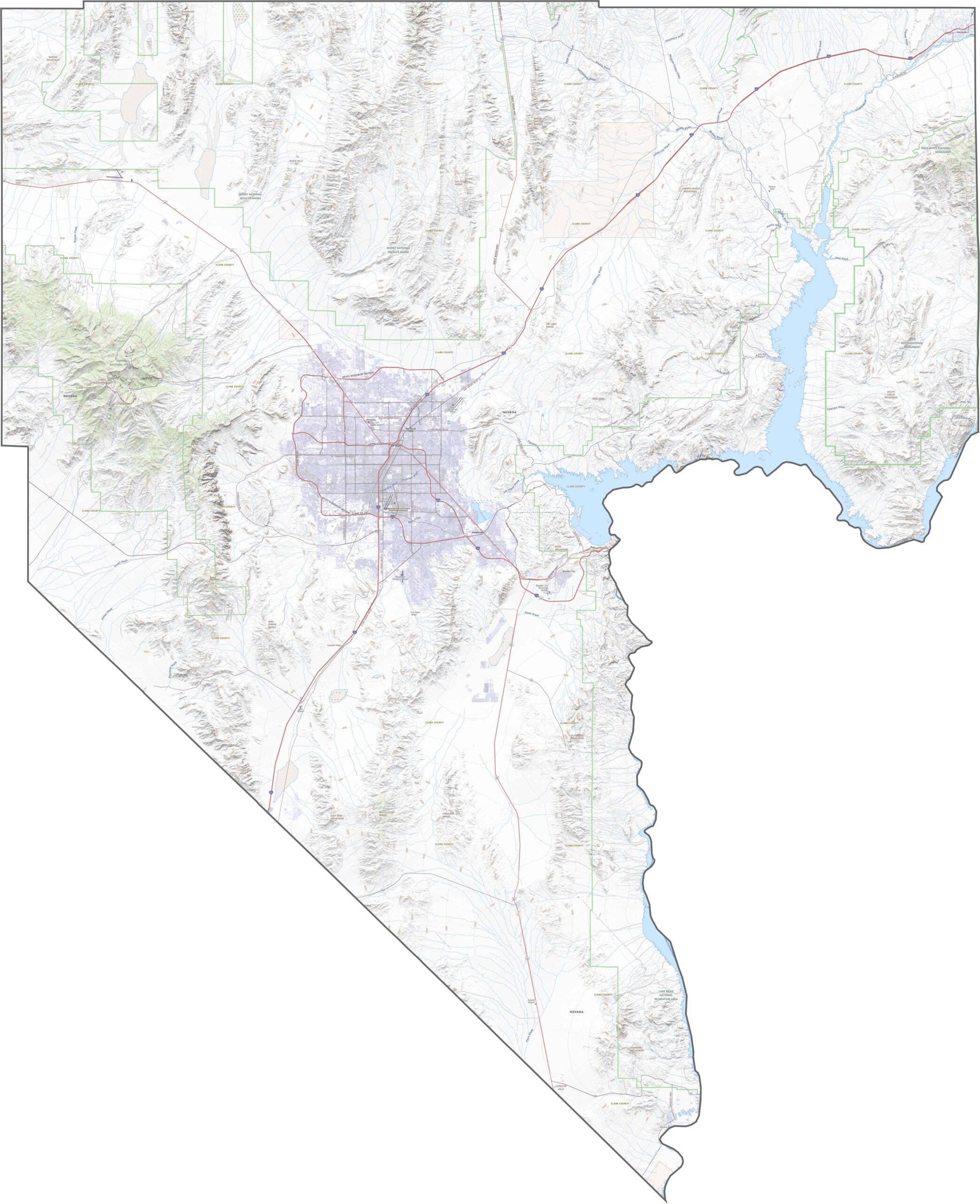
Clark County is full of pavement and bright lights. Las Vegas alone is a maze of roads, but three major highways stand out. I-15 slices north-south, connecting with California and Utah, while U.S. 95 cuts across the city and I-215 loops around. Use our zoom tool below to explore our Clark County road map.
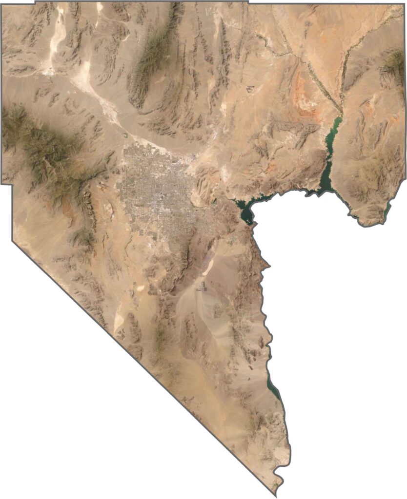
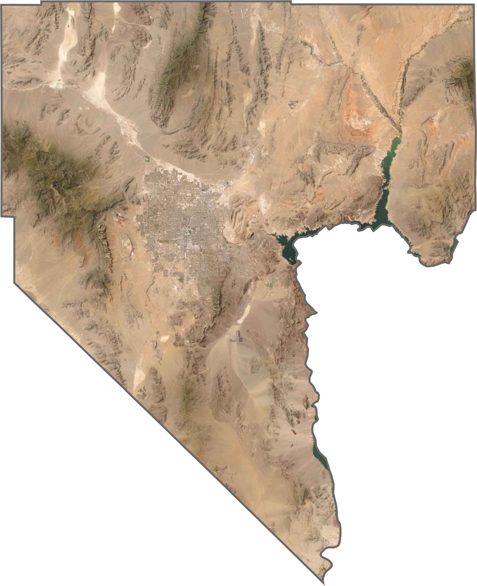
Bright city blocks shine in Las Vegas, but look outward and the tone changes. Brown hills, dusty terrain, and dry washes fan out fast, while Lake Mead stretches blue along the eastern edge.
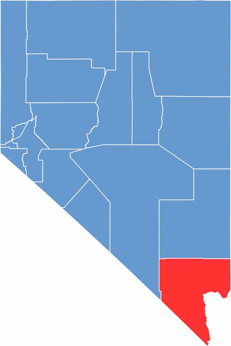
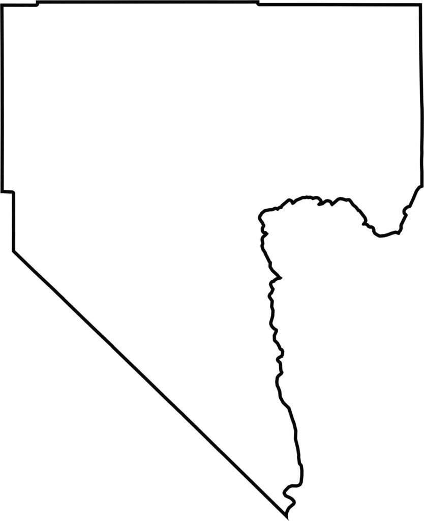
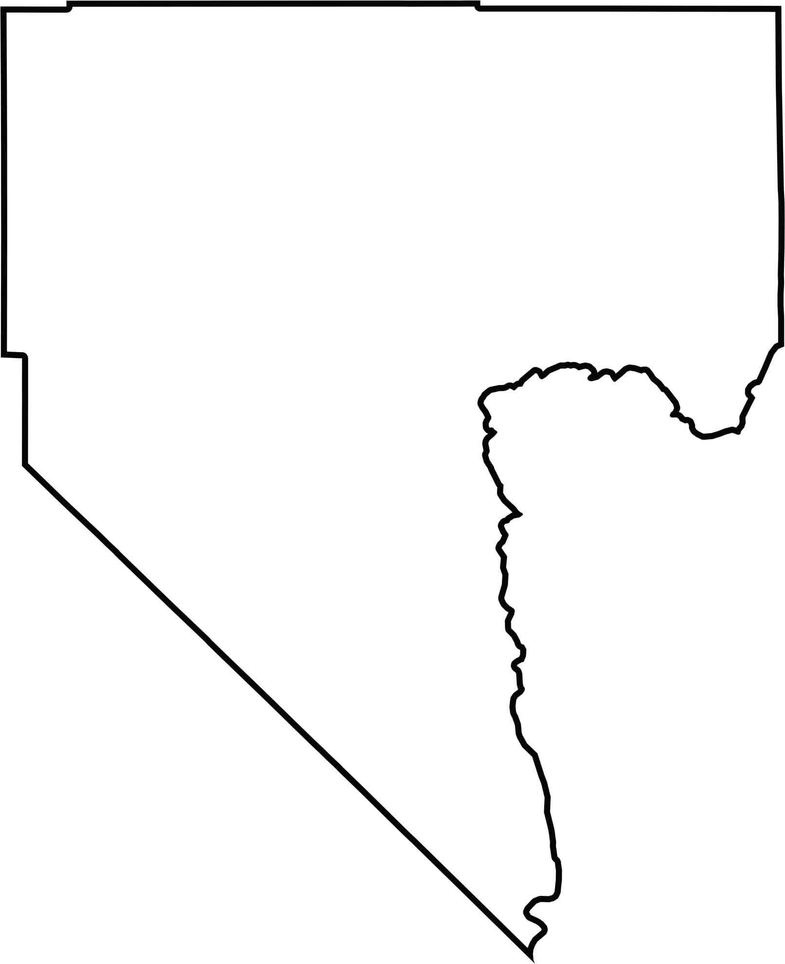
Clark County has an irregular shape that touches both California and Arizona. The Colorado River forms part of its border to the southeast.

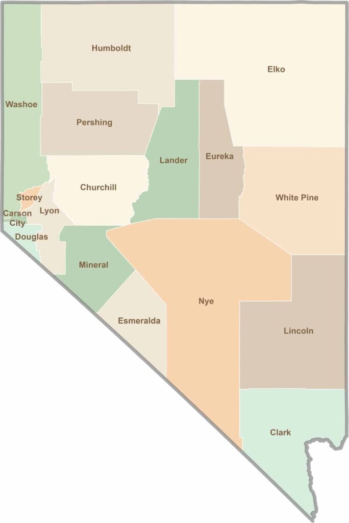
The desert tells our story. Las Vegas shines with 24/7 energy, but adventure waits beyond the Strip: red rock canyons, ghost towns, and so much more. Explore the 17 counties of Nevada.