Webster County Map Download Missouri – Outline Map and Blank Map

Webster-County-Map-Missouri

Webster County, Missouri

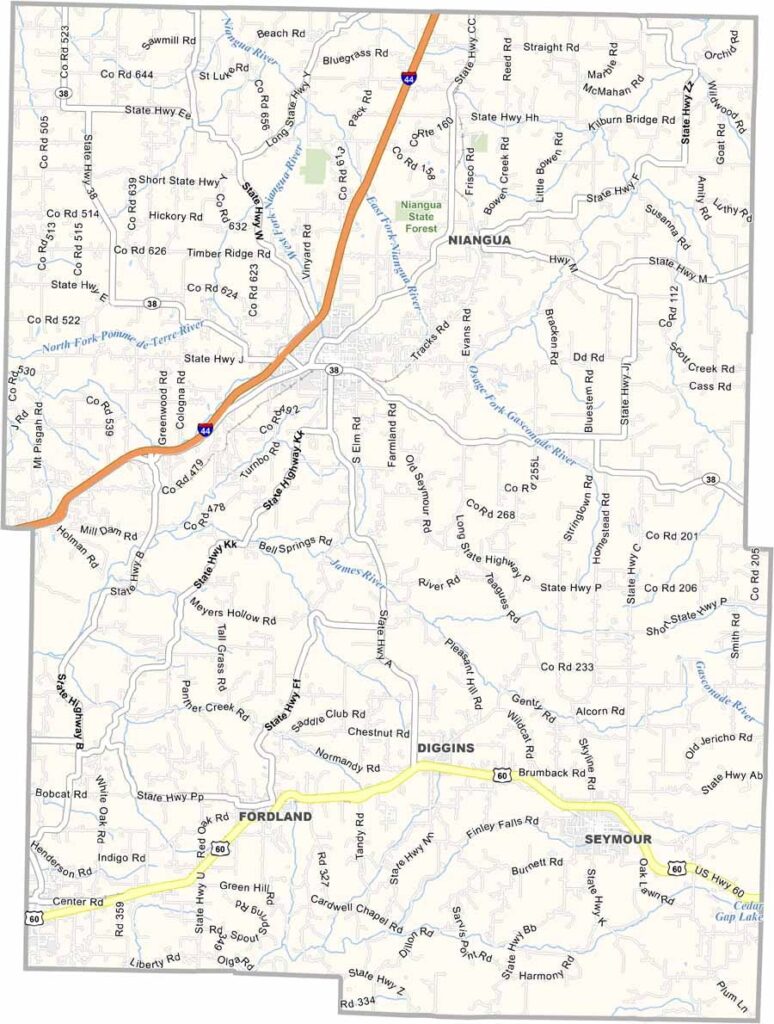
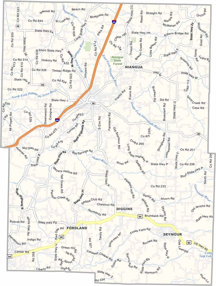
Webster County is located in the heart of southern Missouri, where rolling hills, winding streams, and wooded landscapes create a classic Ozarks setting. The county offers a blend of natural beauty and rural charm that attracts both residents and visitors.

The county seat, Marshfield, is known as the birthplace of Edwin Hubble, whose discoveries helped transform our understanding of the universe. Beyond its scientific connection, the county has deep agricultural roots, with farms and orchards contributing to the local economy.

Outdoor recreation is easy to find throughout Webster County. The Niangua River is a popular destination for floating, fishing, and relaxing on the water.

Webster-Location-Map-Missouri
Category Details
County Name Webster County
County Seat Marshfield
Cities, Towns, and Communities Marshfield, Rogersville, Seymour, Fordland, Niangua, Strafford, Diggins
Interstates and Highways I-44, US 60, MO 38, MO 125
Population Approximately 43,000
FIPS Code 29-209
Total Area (Land and Water) 594 square miles (Land: 593 sq mi, Water: 1 sq mi)
Time Zone Central Time Zone (CT)
State Missouri
Coordinates 37.2682° N, 92.9070° W
Major Landmarks Table Rock Lake, Talking Rocks Cavern, Silver Dollar City, Shepherd of the Hills Fish Hatchery
Adjacent Counties (and Direction) Dallas County (Northwest), Laclede County (Northeast), Wright County (East), Douglas County (Southeast), Christian County (Southwest), Greene County (West)
Etymology Named after Daniel Webster, a leading American statesman and senator
Scroll to Top