
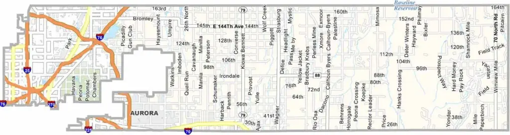
Adams County is located just northeast of Denver and offers a mix of urban and rural communities. Settlers began moving into the area during the 1800s, drawn by opportunities in mining, agriculture, and trade. Today, more than 528,000 people call the county home.
Outdoor recreation is popular along the South Platte River, where residents can enjoy fishing, hiking, and other activities. Adams County is also known for its diverse population and cultural events, while agriculture remains an important part of the local economy.
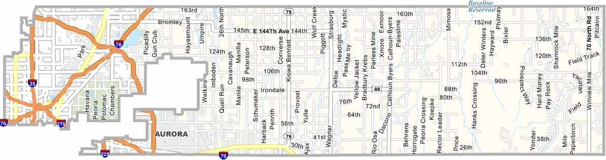
Denver International Airport may appear to occupy a large portion of the county, but the airport is actually located within Denver County. Adams County continues to grow rapidly while maintaining a strong sense of community. The annual county fair is another popular local tradition that brings residents together.
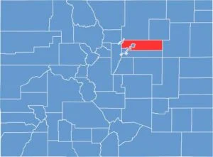
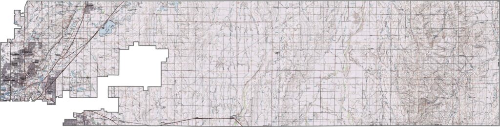
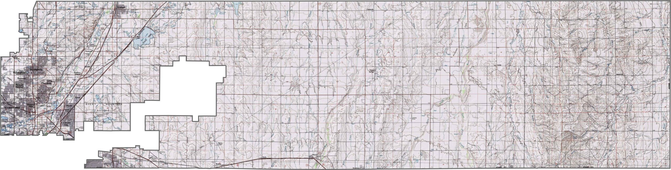
Adams County is mostly flat, with rolling prairie and the South Platte River valley cutting through the western portion. Elevations gradually decrease toward the east, while our zoom tool lets you explore the subtle river valleys and changes in terrain across the county.
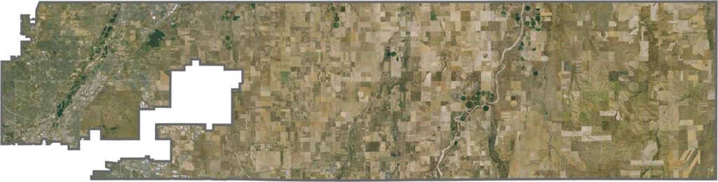
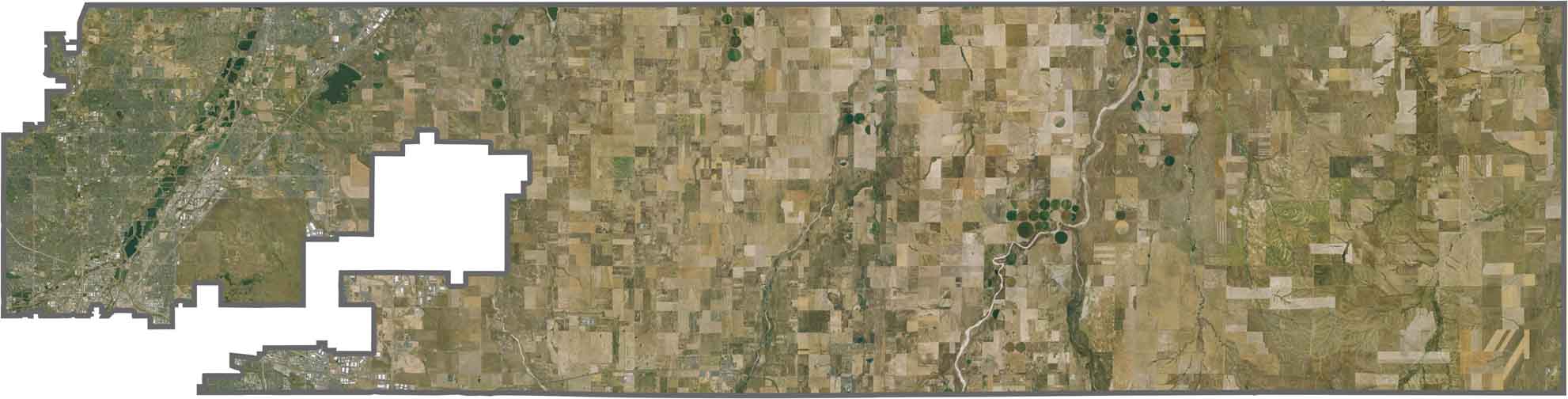
This satellite map shows agricultural fields forming a patchwork of rectangular patterns east of the urban areas. The South Platte River can be seen winding through the landscape, marked by lines of trees and vegetation along its banks.
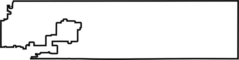
Our blank map of Adams County shows its irregular shape extending from the Denver area east into the plains. The county lies directly north of Denver, with the Denver International Airport area excluded from its southwestern corner.







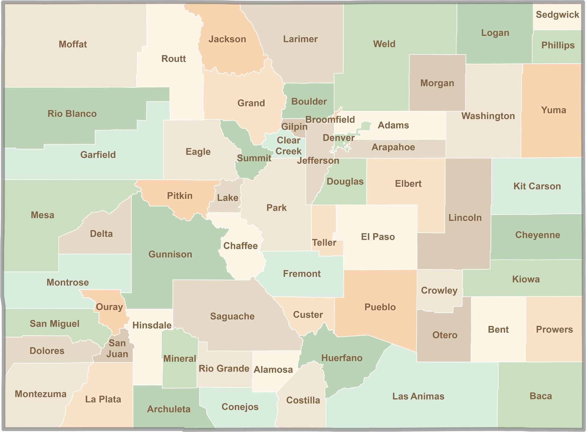
Think you know all 64 counties in Colorado? Our Colorado County Map brings them all together in one place, from the towering Rocky Mountains to the expansive eastern plains. Explore the Centennial State county by county and discover the diverse regions that make Colorado unique.