
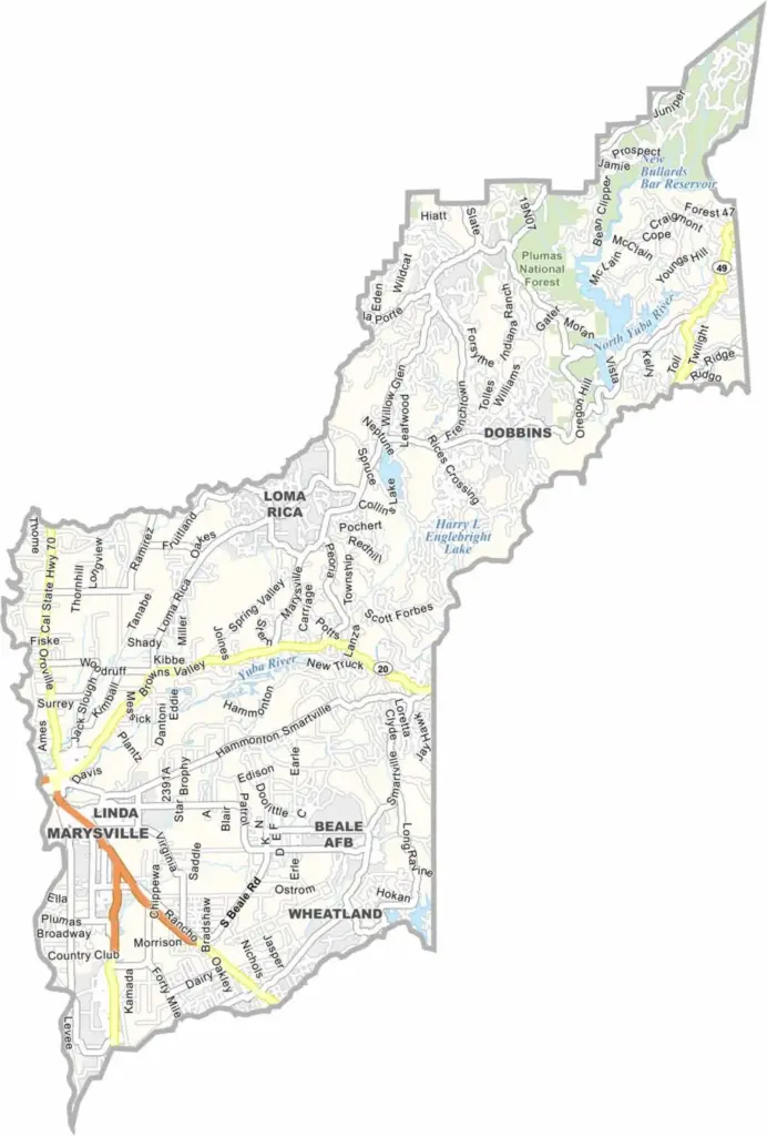
Yuba County is located north of Sacramento in California’s Central Valley. Marysville serves as the county seat and sits across the Feather River from Yuba City. The county is also considered one of the more affordable places to live in California.
The county’s landscape is divided between the flat Central Valley and the rolling Sierra Nevada foothills. With a population of just over 90,000 people, Yuba County offers a mix of small-town living and wide-open spaces.
Beale Air Force Base occupies part of the southeastern area of the county. Yuba County takes its name from the Yuba River, which offers opportunities for swimming, recreation, and gold panning.
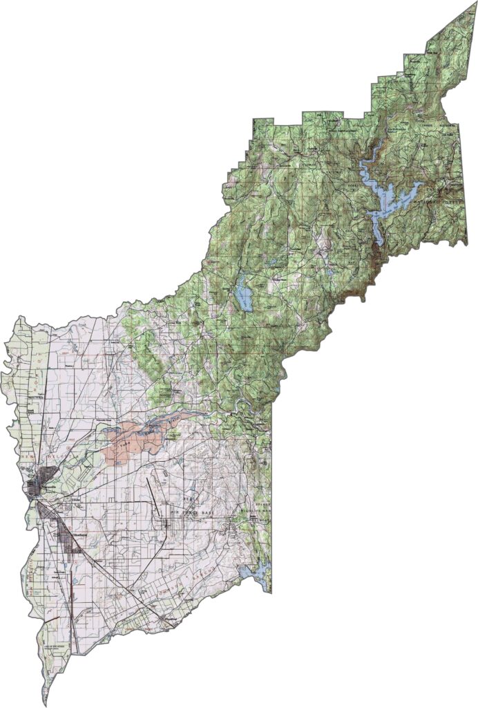
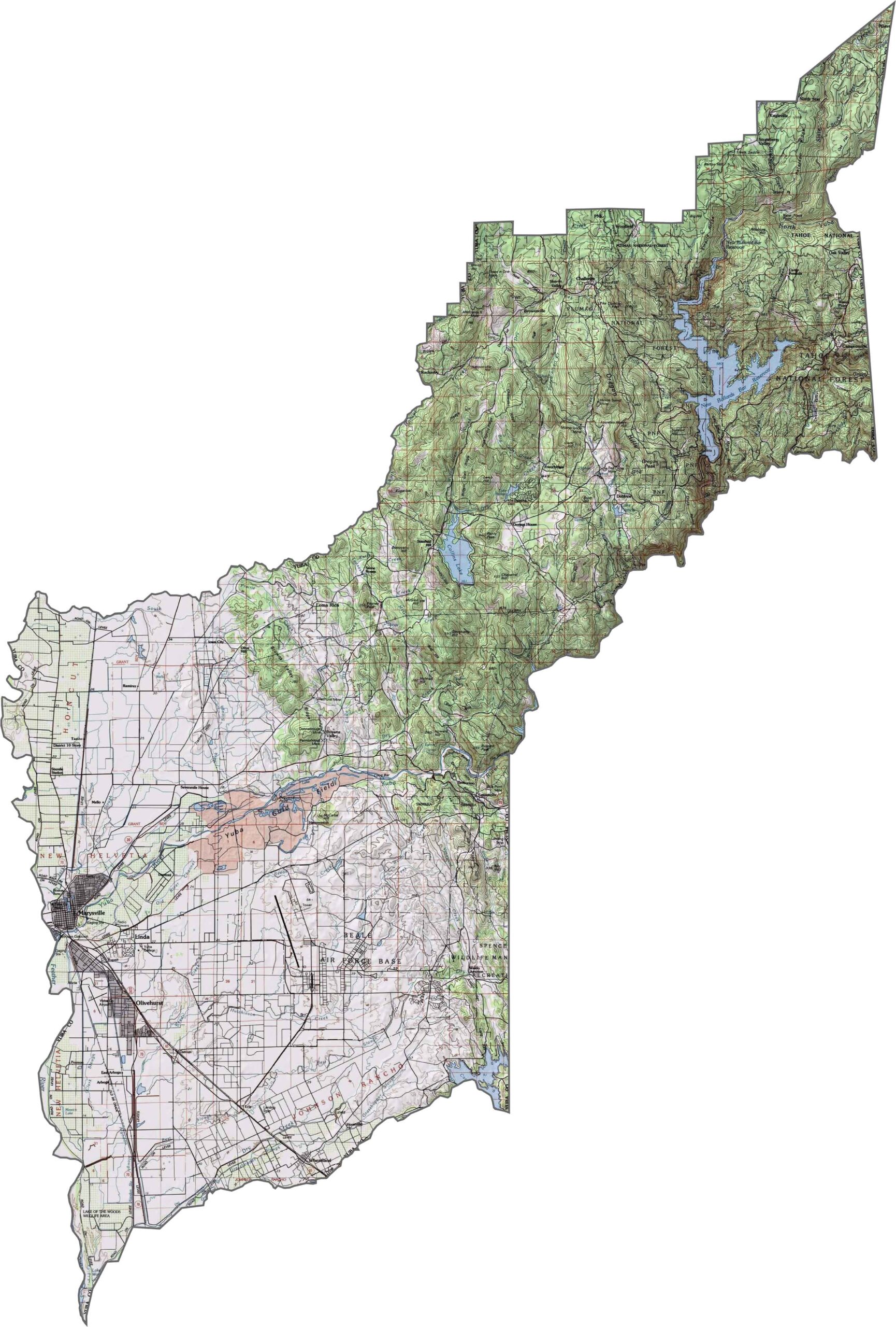
This topographic map highlights Yuba County’s gradual transition from the flat Sacramento Valley floor to the Sierra Nevada foothills. The contour lines show how the landscape rises from the western plains toward the hilly eastern regions.
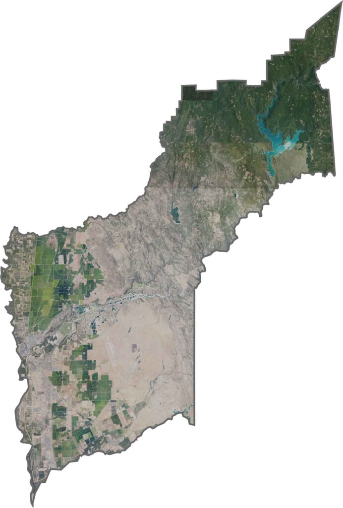
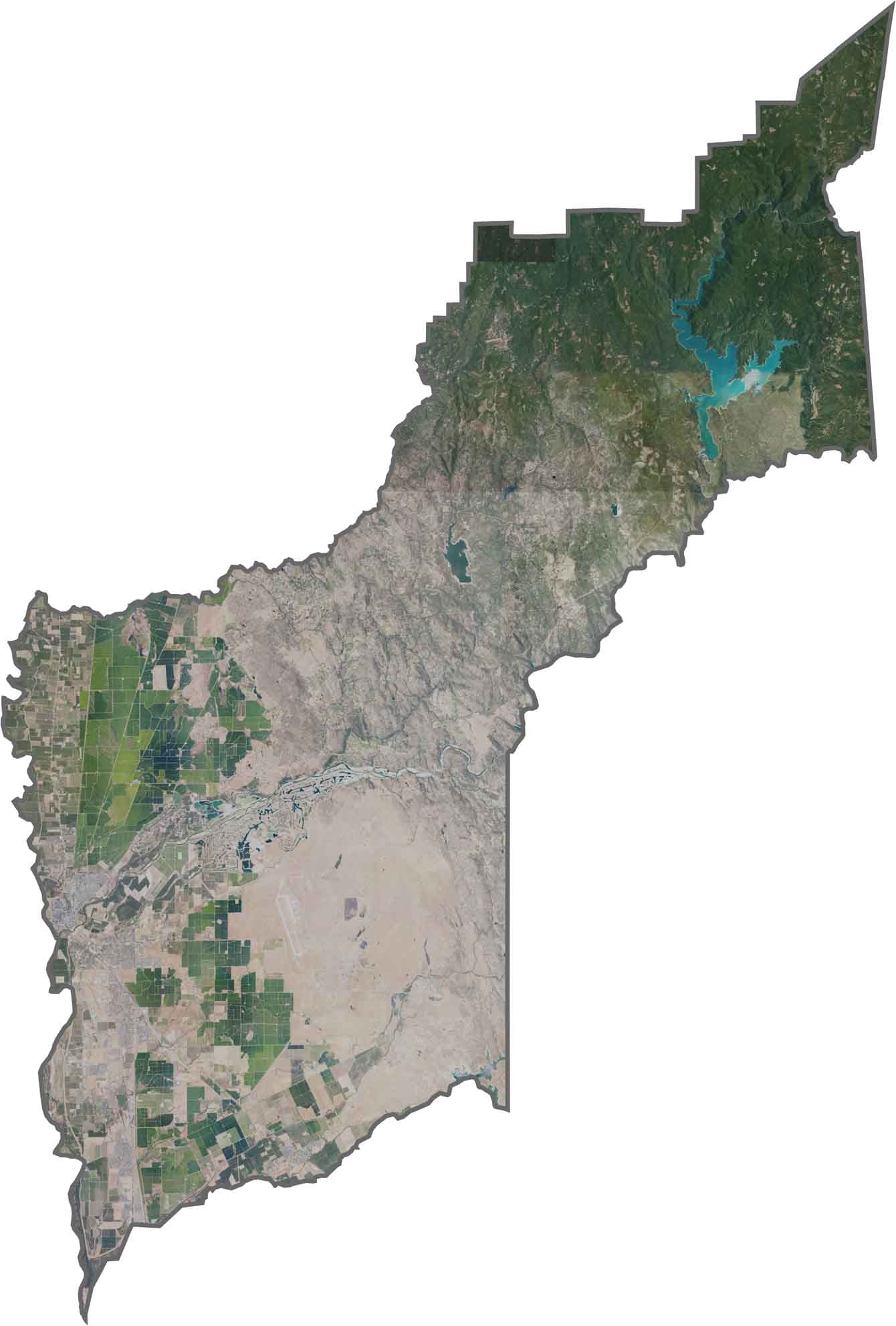
This satellite map reveals Yuba County’s diverse river valleys and foothill landscapes. The Feather River cuts through the county and serves as an important waterway for the region.
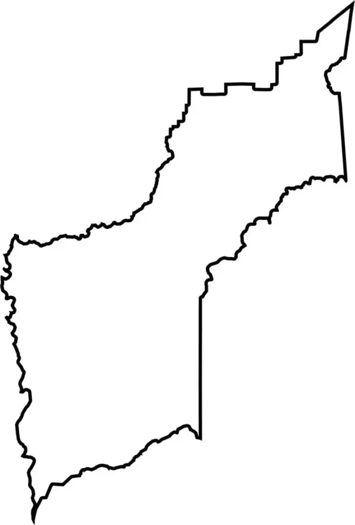
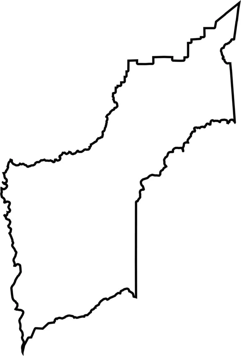
This blank map shows Yuba County’s compact outline in the northern Sacramento Valley. Its boundaries extend from the Feather River in the west toward the Sierra Nevada foothills in the east.








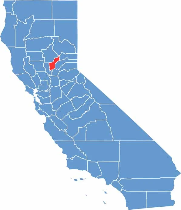
Ever wonder how California’s 58 counties are organized? Our California county map lays them all out, from the Pacific Coast to the vast desert regions. Explore the map to find the counties you know—and perhaps discover a few you don’t.