
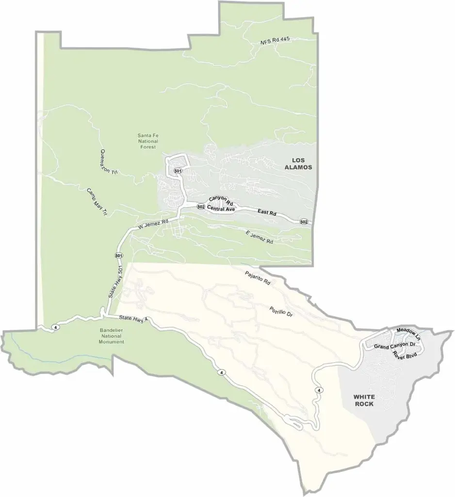
Los Alamos County is nestled high in the Jemez Mountains of north-central New Mexico. It’s a small county—actually, the smallest in New Mexico by area. But its size doesn’t tell the whole story.
This is a place known for science and innovation. Los Alamos National Laboratory is located here and played a major role in developing the atomic bomb during World War II. The town has a college-campus feel, with scientists and researchers everywhere.
The scenery is impressive, with mesas, canyons, and forests surrounding the area. Nearby Bandelier National Monument features ancient cliff dwellings carved into the rock. Outdoor recreation is also a big part of life here, with opportunities for hiking, mountain biking, and skiing.
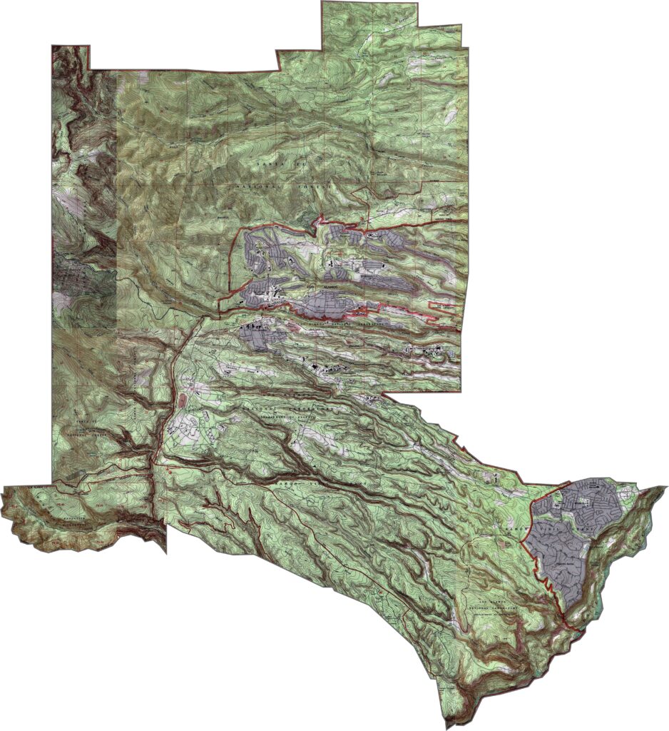
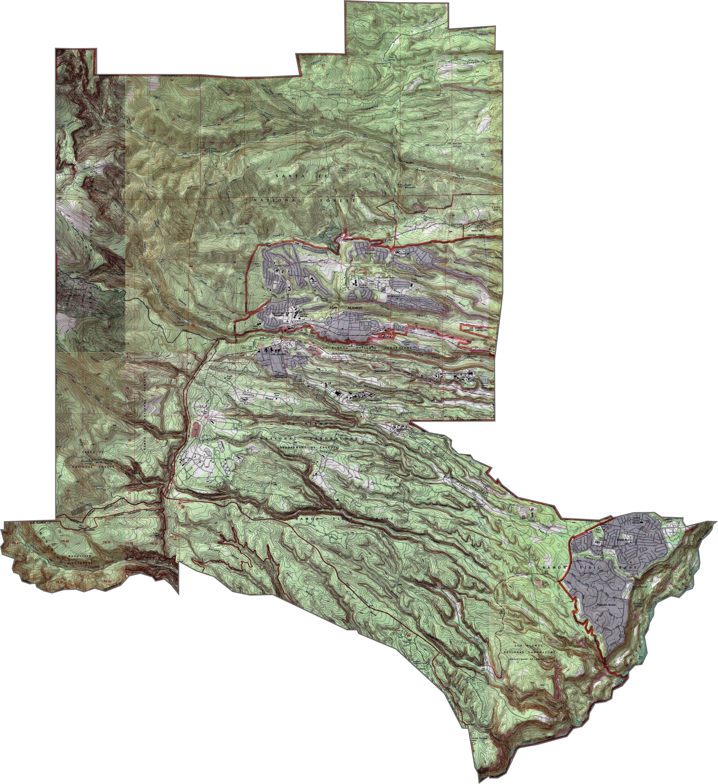
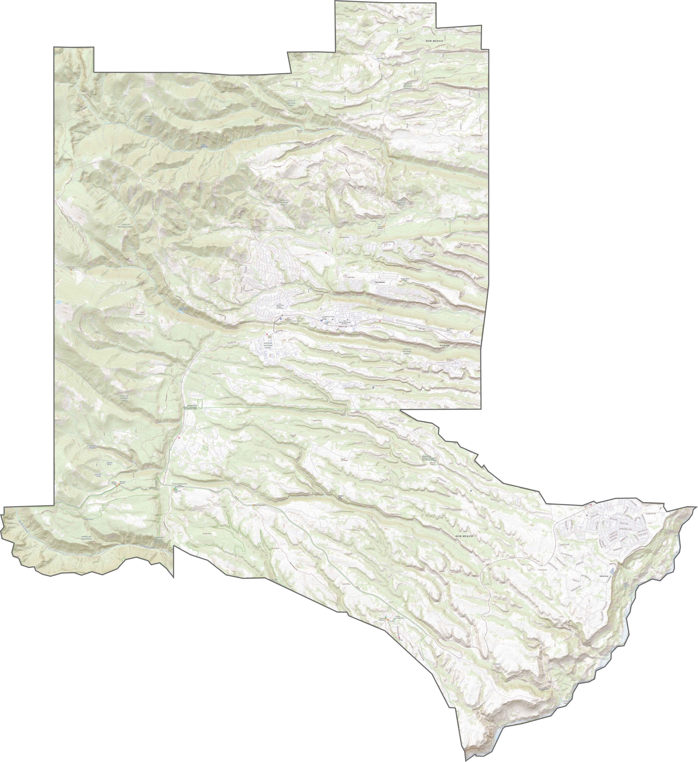
Los Alamos County is high, rugged, and full of surprises. Built on the Pajarito Plateau, the elevation rises quickly, with mesas layered across the landscape. Although the county is compact, the dramatic elevation changes give it a tiered appearance. One moment you can be standing on forested rock, and the next you’re looking down into a deep gorge.
There aren’t many roads in Los Alamos County, but each one is important. NM 502 and NM serve as the main roads here. Even though the county is small, its rugged terrain can make travel feel like a much bigger journey. Use our zoom tool to follow the roads on the map below.
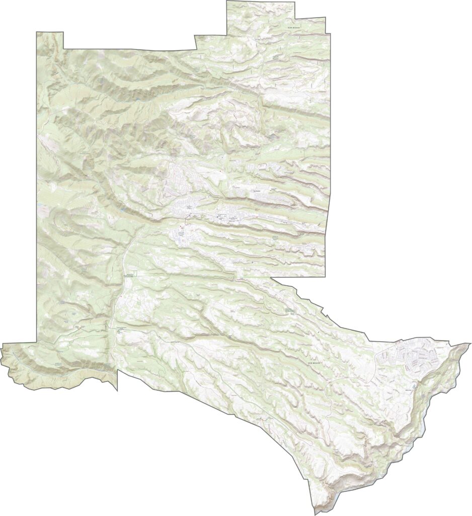
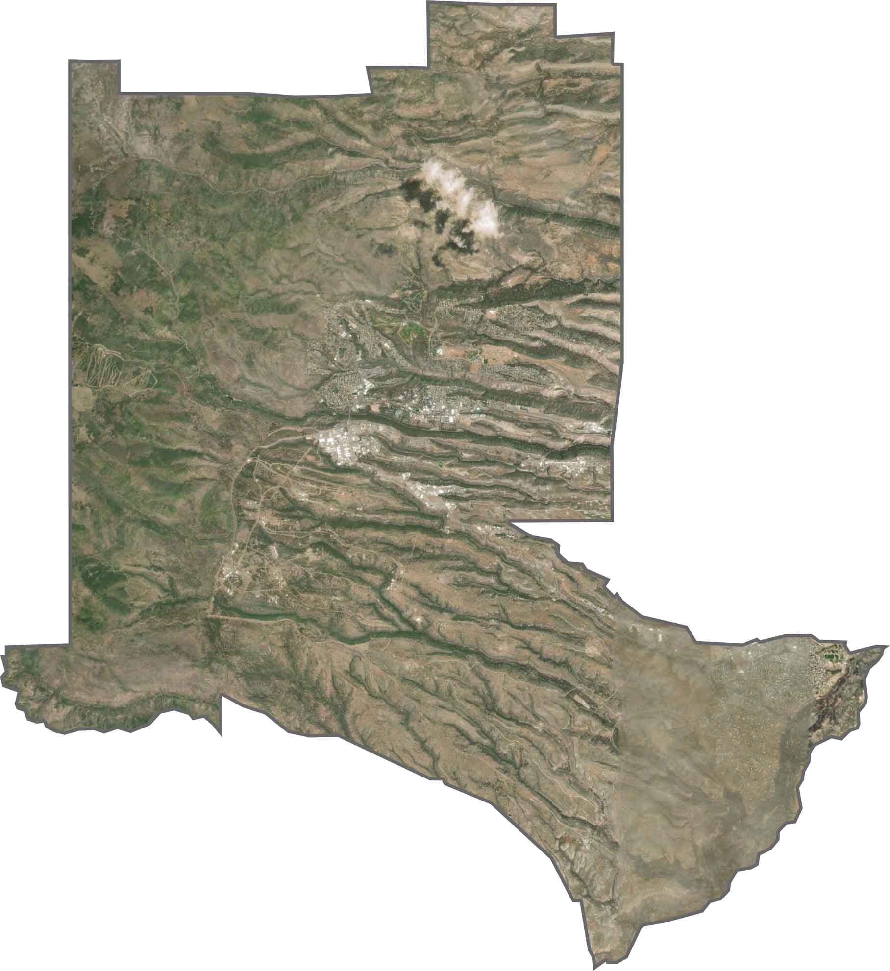
From above, Los Alamos County looks almost like it was carved with a knife. Long, narrow mesas stretch from west to east, separated by dark canyons. The town sits among a series of ridges. Forests dominate the landscape, especially in the western half, while cleared areas surround the laboratory and residential neighborhoods.
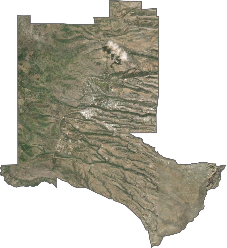
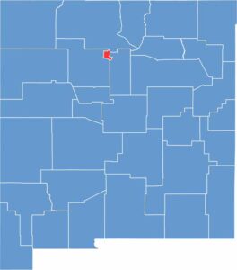
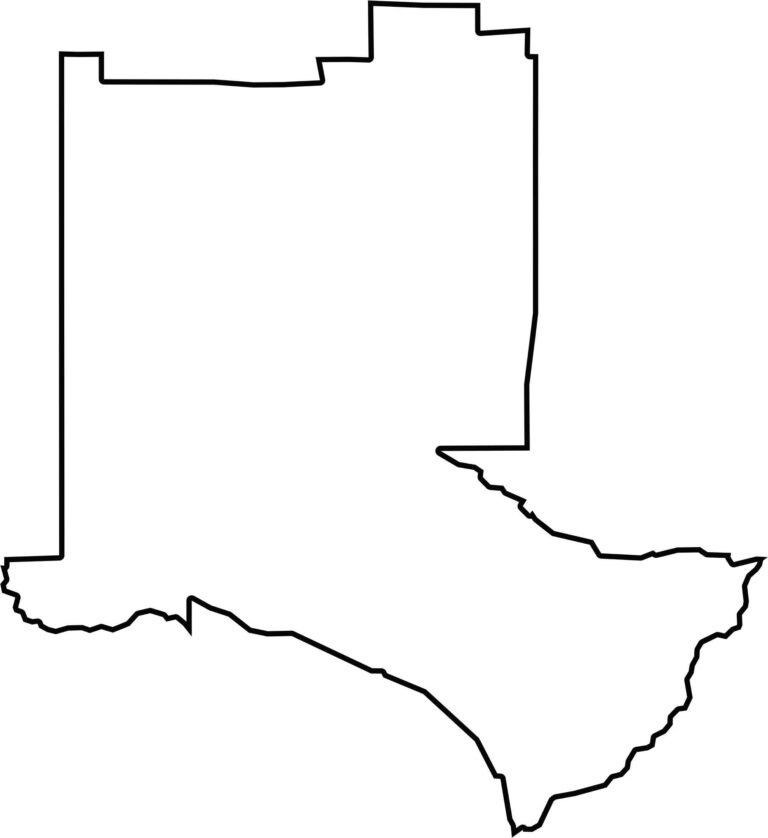
Los Alamos County is the smallest county in New Mexico. The eastern boundary follows the Rio Grande, while the remaining borders consist mostly of straight lines with several sharp turns.








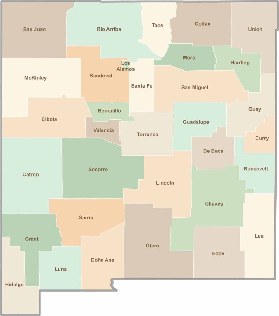
New Mexico’s 33 counties stretch from high desert landscapes to snow-capped mountain peaks. Each one has its own blend of cultures, scenery, and legends. One moment you could be exploring ancient ruins in McKinley County, and the next you might be stargazing beneath the wide-open skies of Hidalgo County.