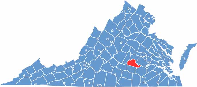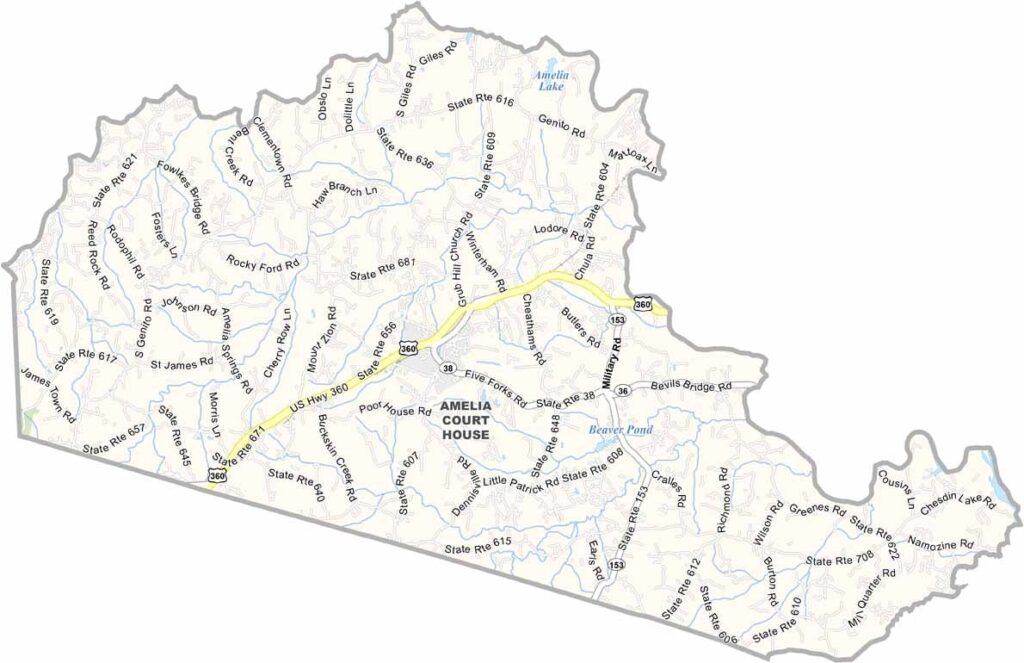
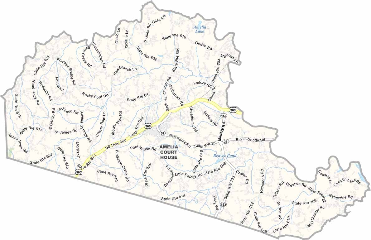
Amelia County lies just southwest of Richmond, offering a peaceful glimpse into rural Virginia. Though relatively small, the county has plenty of character, with rolling farmland, historic homes, and weathered barns shaping much of the landscape.
The Appomattox River forms the northern boundary and provides excellent opportunities for fishing, kayaking, and enjoying the outdoors. The Amelia Courthouse area serves as the county seat and offers a step back in time with its historic buildings and landmarks listed on the National Register of Historic Places.
Agriculture remains an important part of the county’s identity, and roadside stands are popular places to find fresh local produce. Each year, the community celebrates its rural heritage during the “Field Day of the Past” festival, highlighting traditional skills, crafts, and local history.