
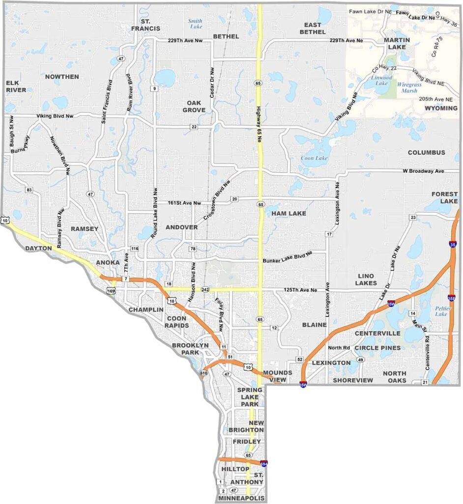
Anoka County sits in the east-central part of Minnesota, just north of the Twin Cities. The Mississippi River forms its southwestern border, giving residents plenty of spots for fishing and boating.
Anoka, the county seat, proudly calls itself the "Halloween Capital of the World." The town first celebrated Halloween as a way to keep kids out of trouble, and the tradition stuck.
The county has its share of parks and lakes, perfect for summer picnics or fall hikes. It's growing fast, attracting folks who want room to breathe without being too far from Minneapolis.
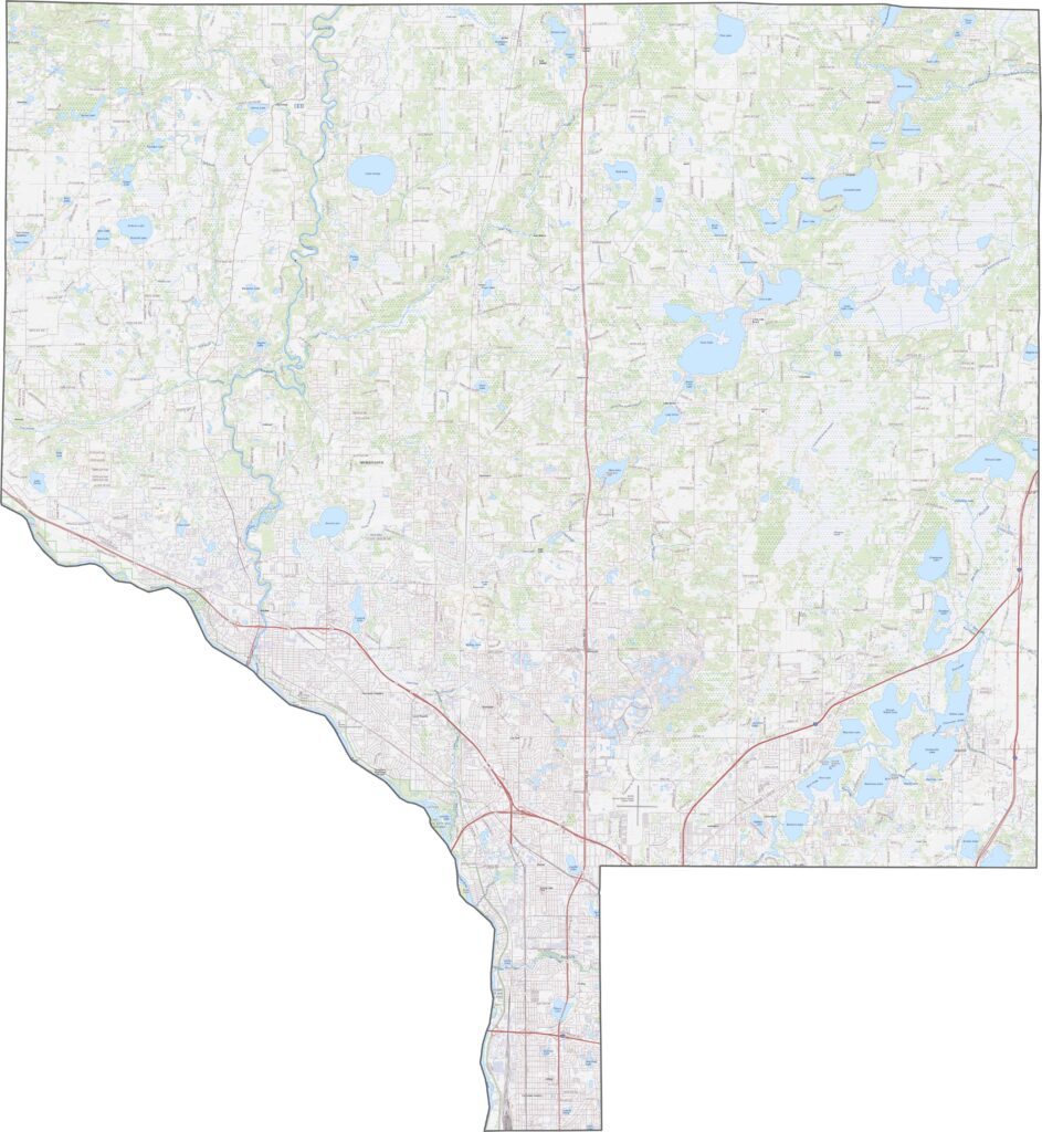
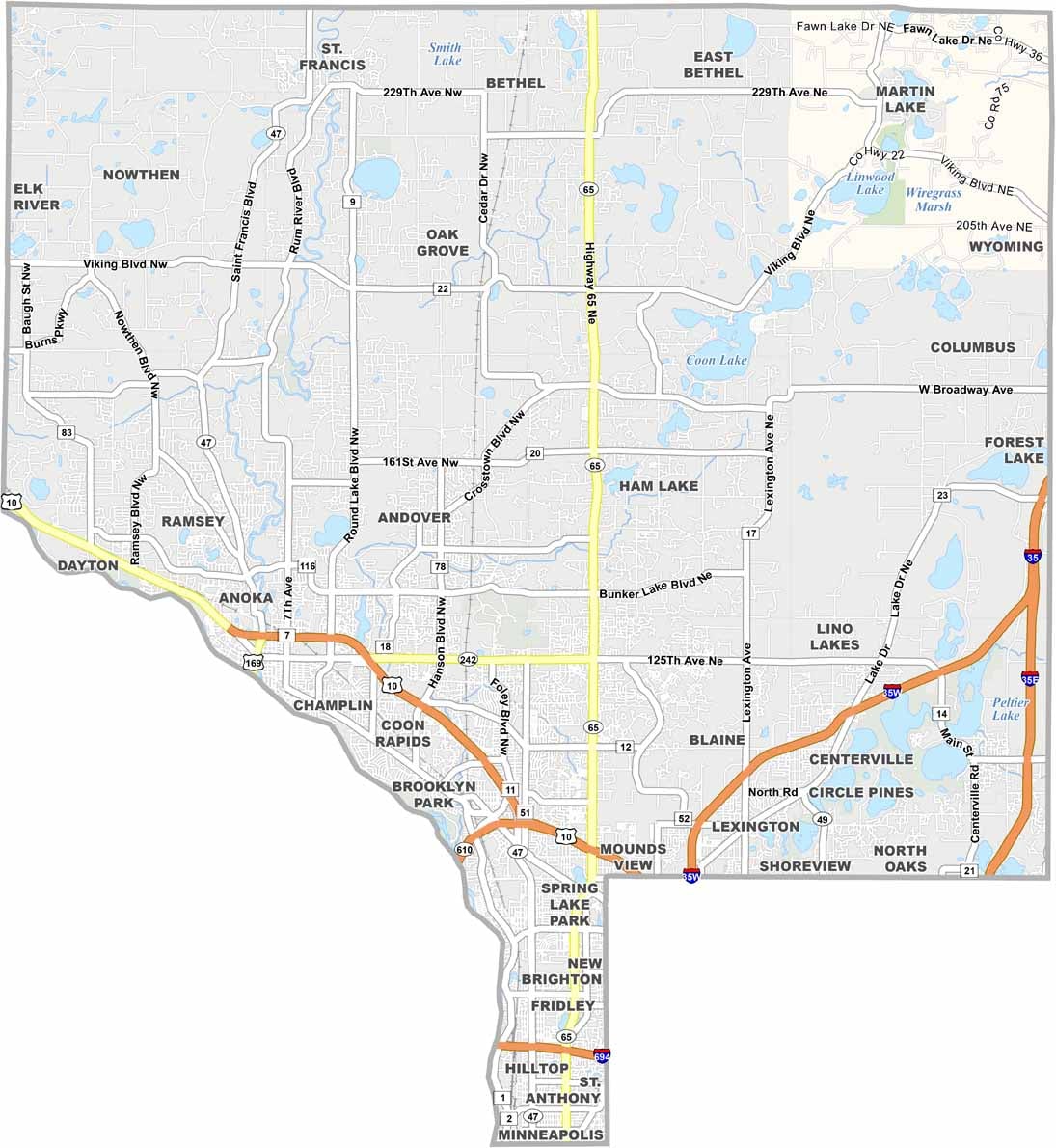
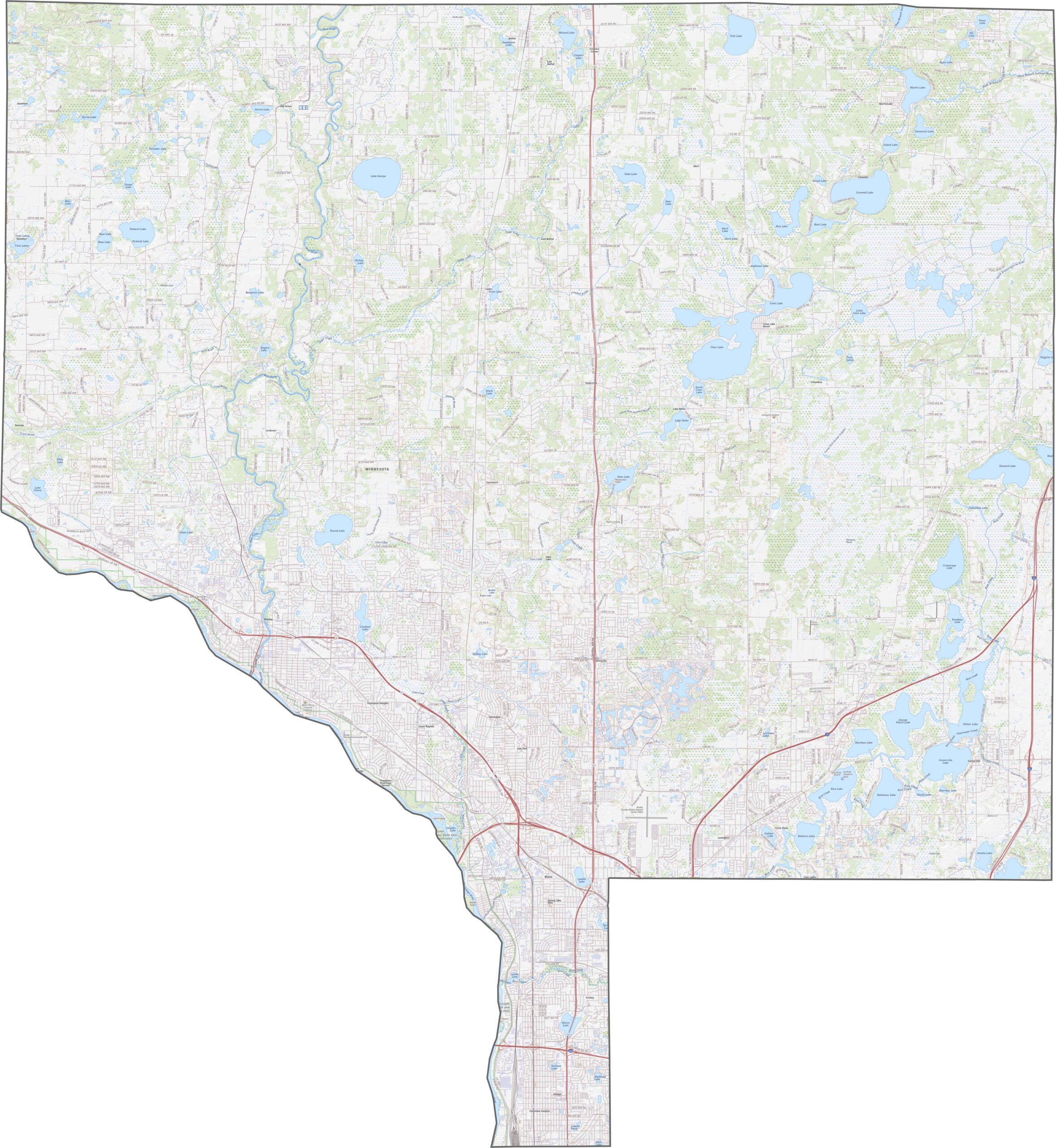
Anoka County has a few big highways. U.S. Highway 10 crosses the south side, while I-35W clips the east corner but doesn't stay long. It's easy to get around here, and you can zoom in on our map below to see every highway.
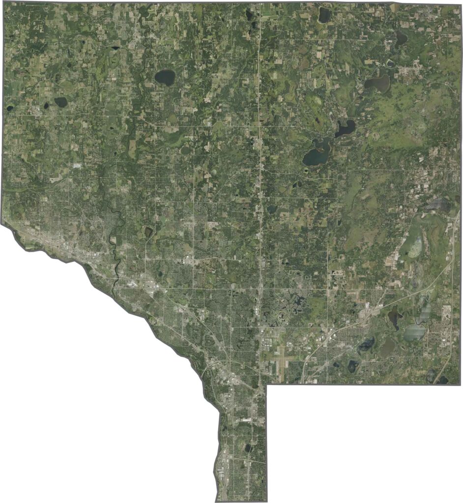
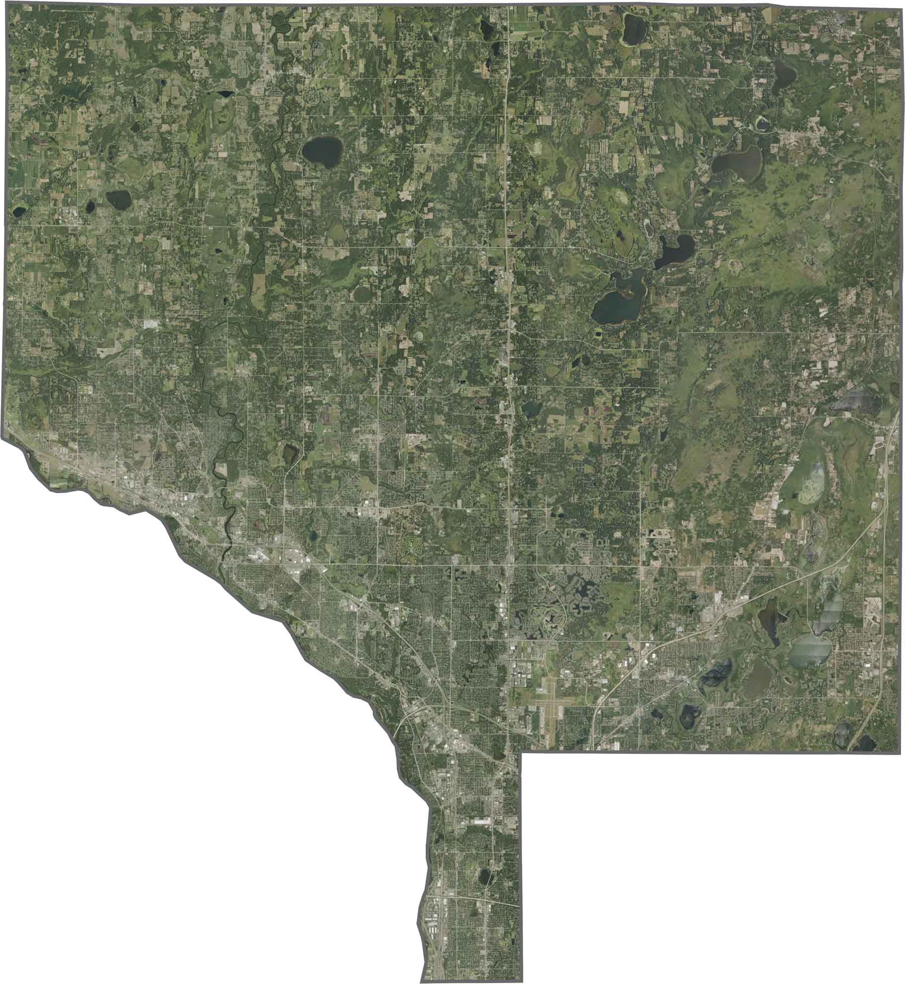
Anoka County looks busy on our satellite map, especially in the southern region, where neighborhoods fill most of the area. You'll also spot parks and lakes scattered throughout, and the Mississippi River stands out along the southwest border.
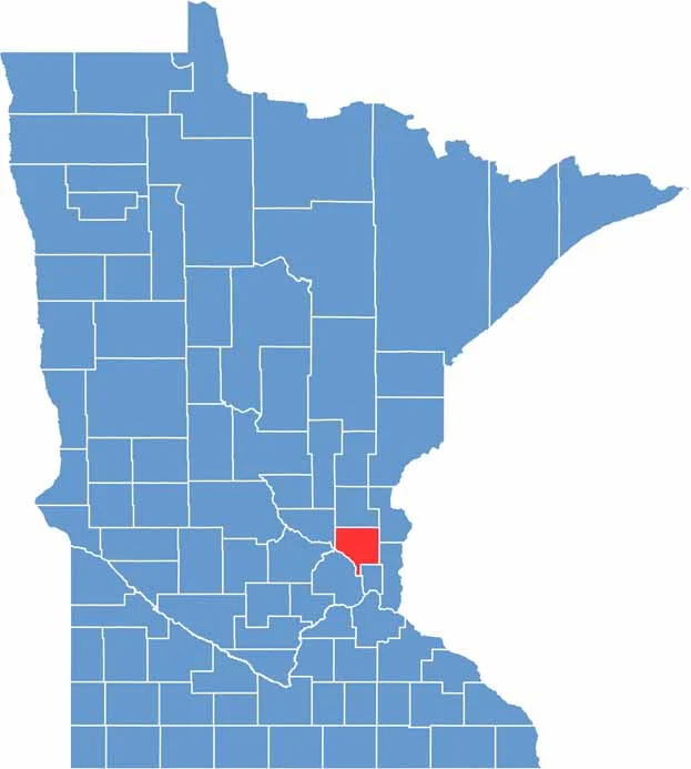
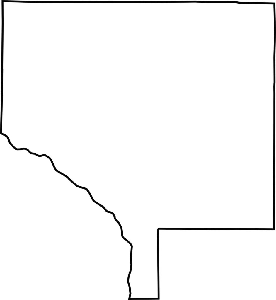
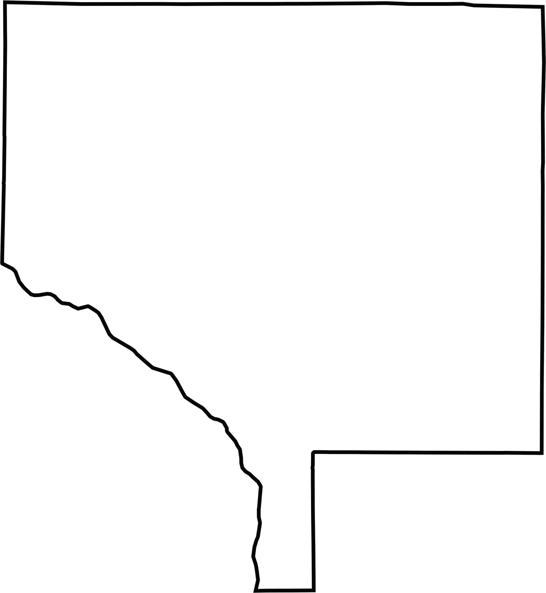
Anoka County has a boxy shape with a few bends, and it thins out especially at the bottom of the county. The Mississippi River marks the northwest side. Though the county follows this major river, most of its borders are straight. Keep in mind that it doesn't touch any other states.






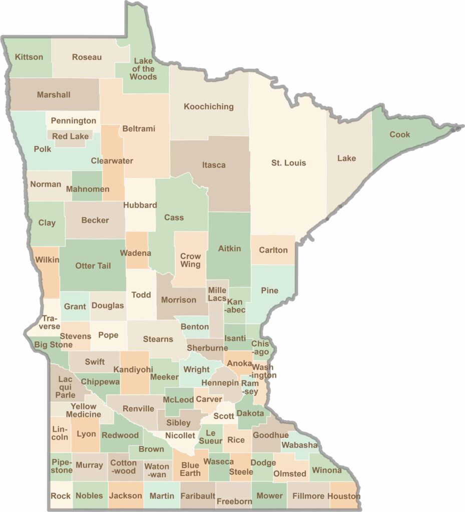
Land of 10,000 Lakes? How about the land of 87 counties to explore? Say hello to Hennepin County (Minneapolis) or the shores of Lake Superior. Get to know all the counties of Minnesota right here.