
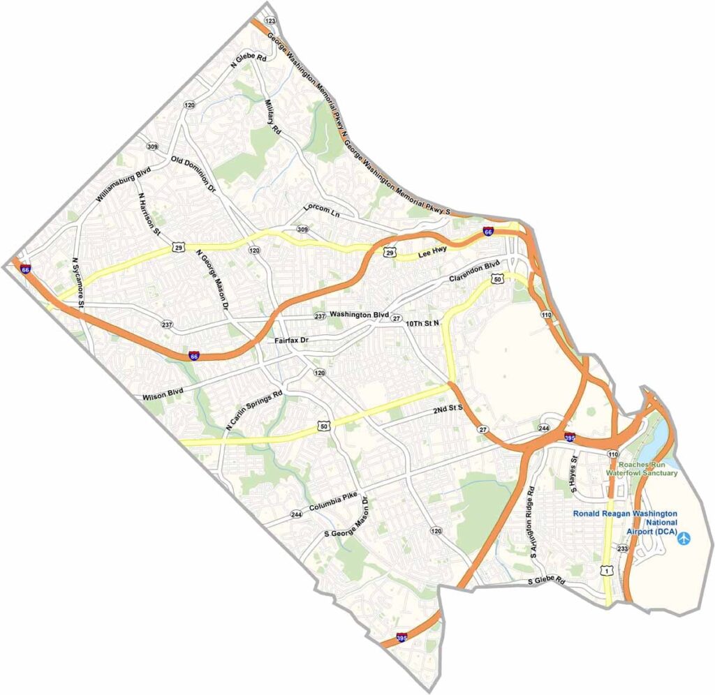
Arlington County sits directly across the Potomac River from Washington, D.C. It’s the smallest self-governing county in the United States. The Pentagon is located here, along with the famous Arlington National Cemetery.
The county is a hub for young professionals and political workers. The Rosslyn-Ballston corridor is packed with high-rises and busy streets, while quieter neighborhoods feature plenty of tree-lined roads.
Arlington has a great food scene, ranging from upscale restaurants to cozy hole-in-the-wall spots. The county also takes pride in its extensive network of bike trails. Getting around is easy, and you get all the benefits of being close to the nation’s capital with a slightly more relaxed atmosphere. It’s urban living with a touch of small-town charm.
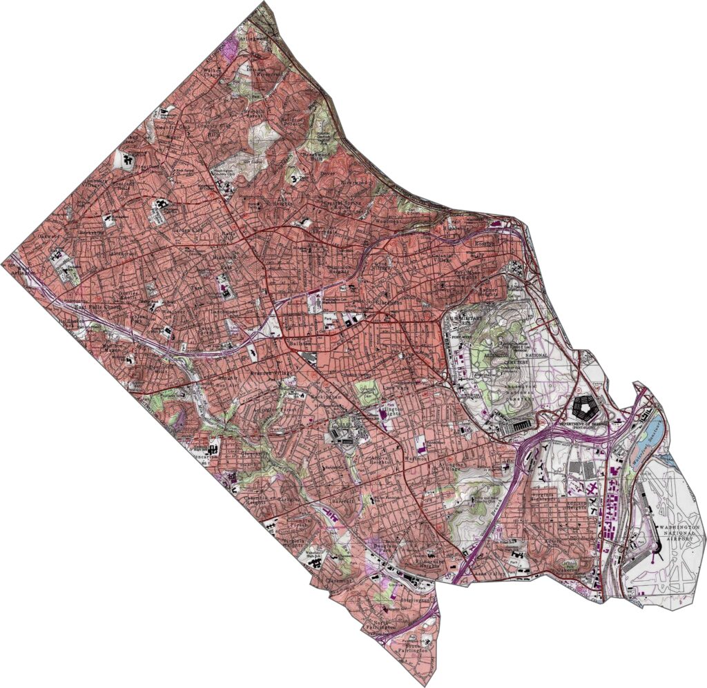
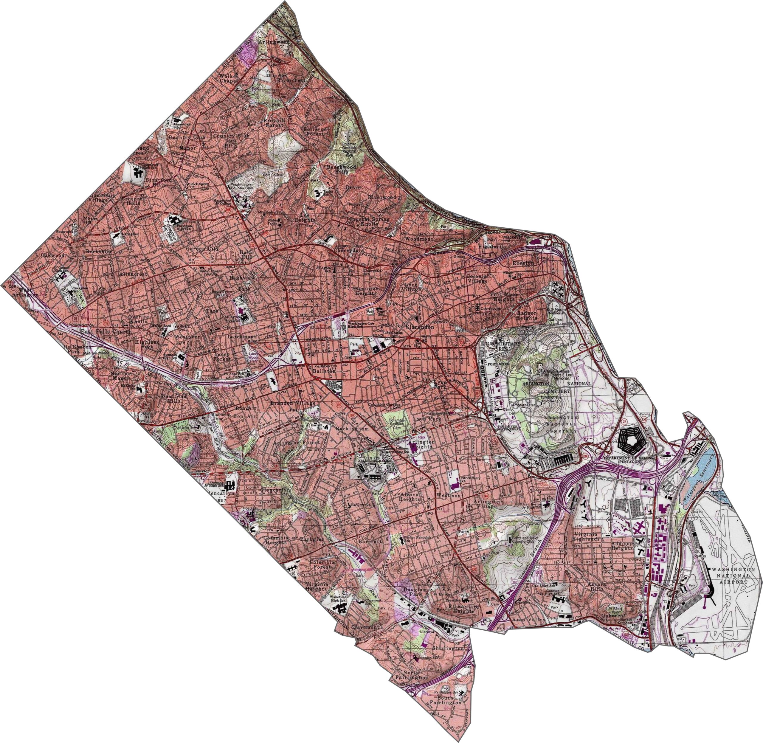
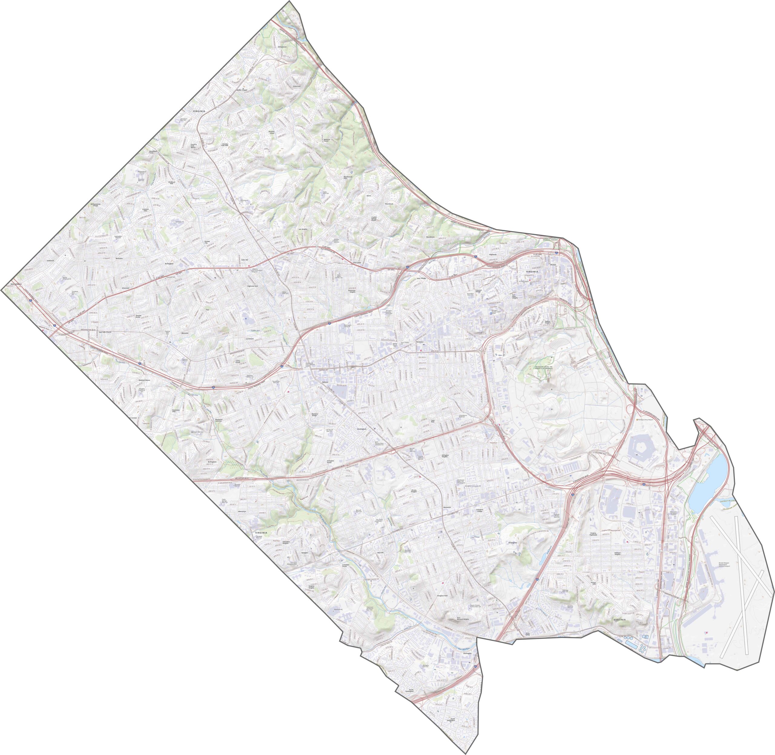
Arlington County is mostly flat with gentle slopes, sitting within the Potomac River basin. The terrain rises slightly near Potomac Overlook Regional Park along the river, but most of the area is urban. Use our zoom tool below to take a closer look.
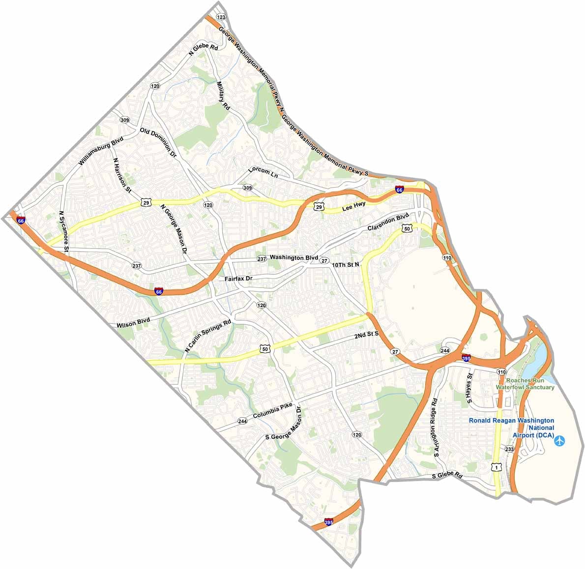
Although Arlington is compact, it has a dense network of roads. Interstate 66 runs through the county, along with several U.S. routes. George Washington Memorial Parkway follows the south bank of the Potomac River and connects to numerous parks along the way.
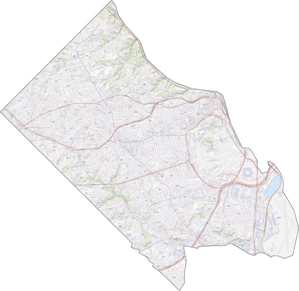
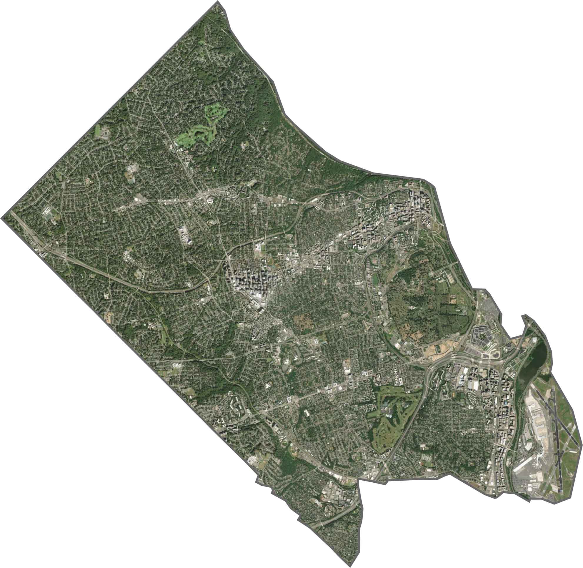
The satellite view shows Arlington County filled with buildings, roads, and traffic. Green spaces are scattered throughout the area, including parks, cemeteries, and golf courses that break up the urban landscape. The Potomac River defines the eastern edge, while an airport runway is visible in the southeast corner.
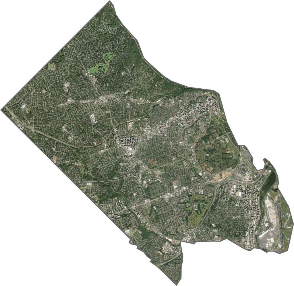
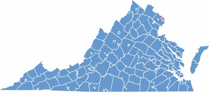
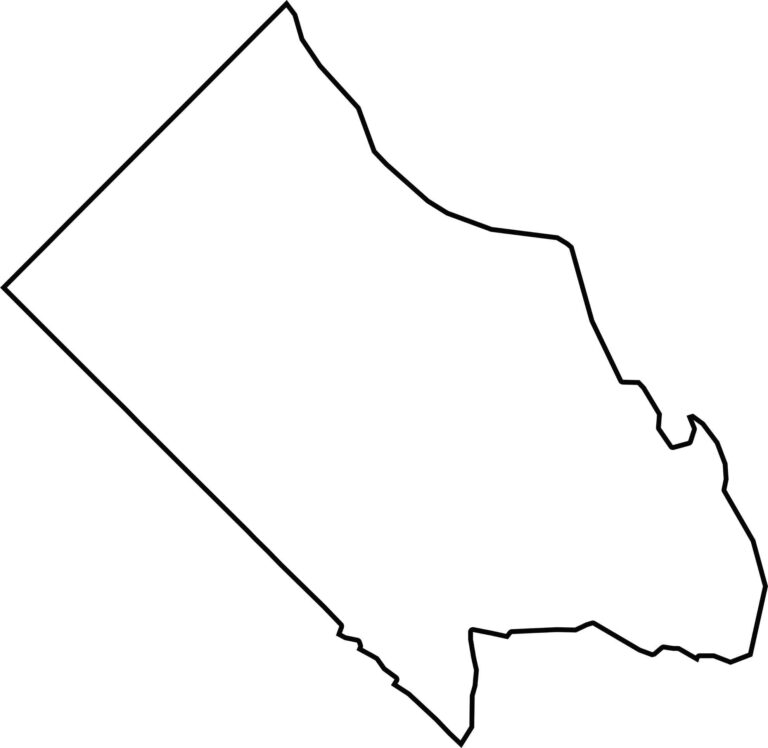
Arlington County is small and almost rectangular, though its shape isn’t perfectly even. The Potomac River forms the eastern border, separating Arlington from Washington, D.C. The other boundaries are mostly sharp and straight. Covering just over 26 square miles, it is Virginia’s smallest county by land area.
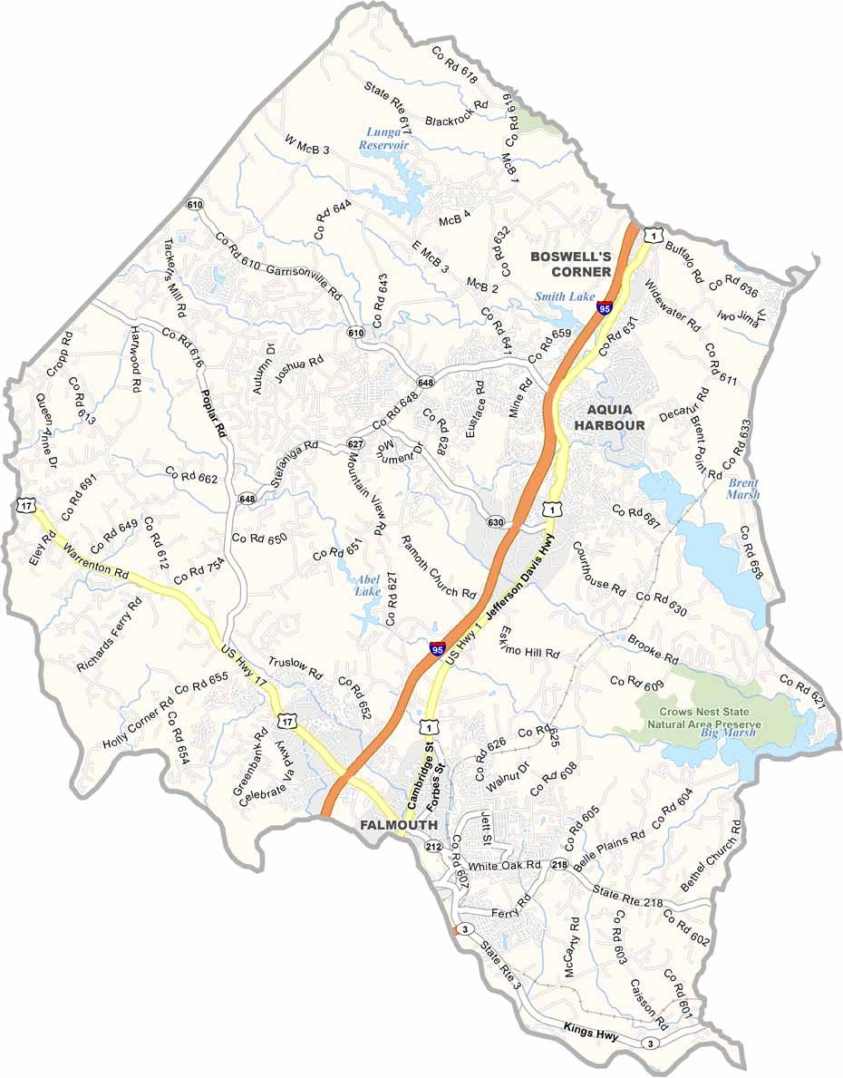
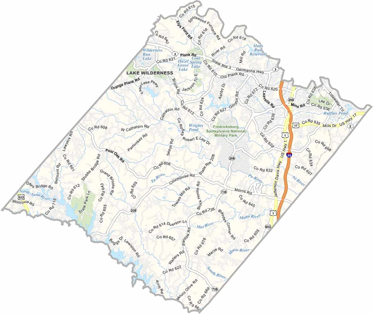
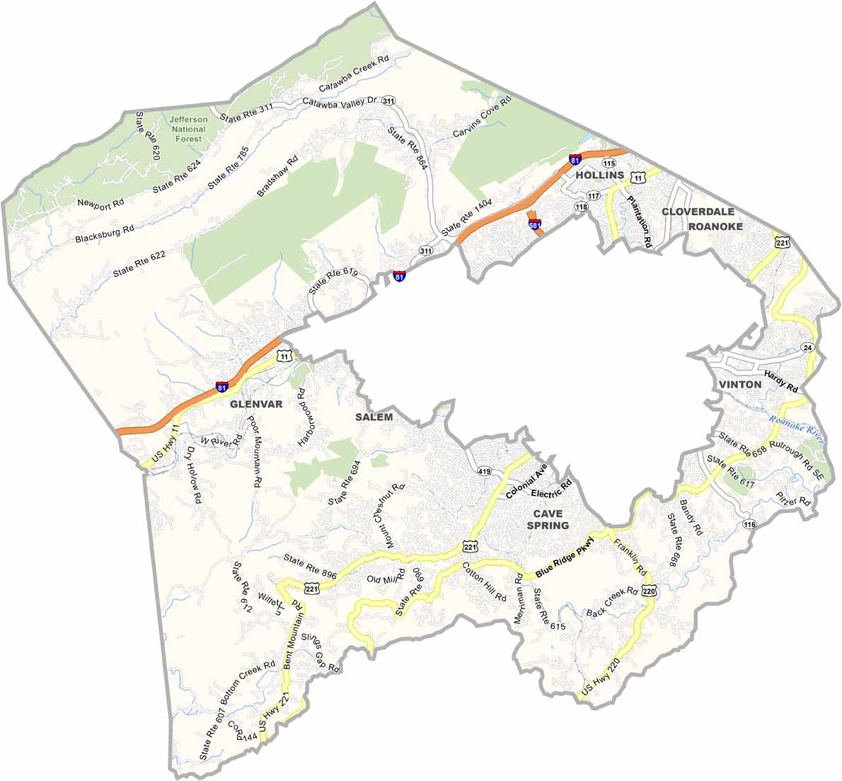
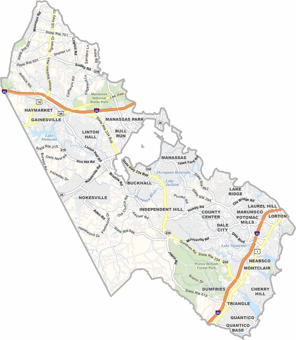
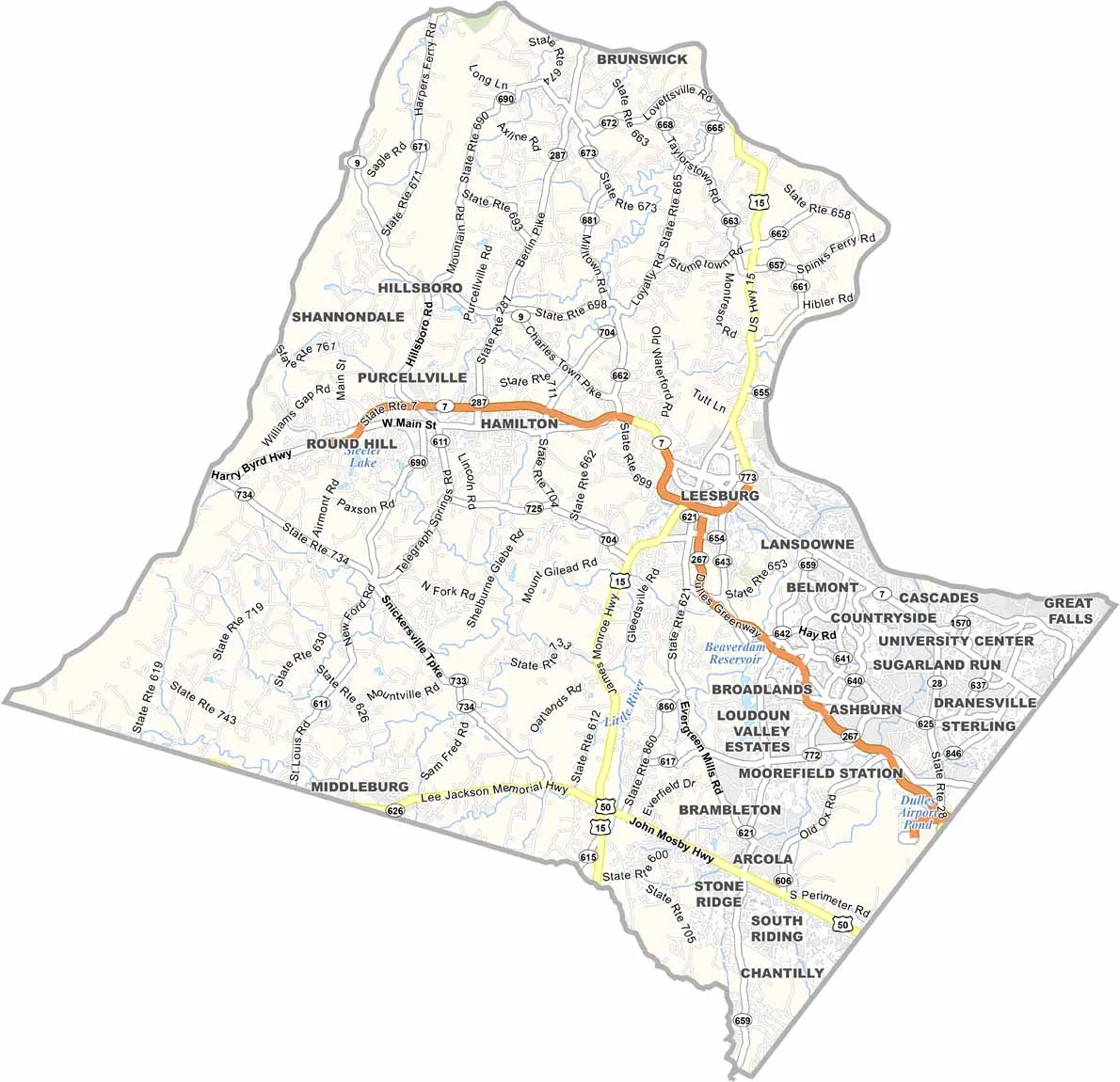
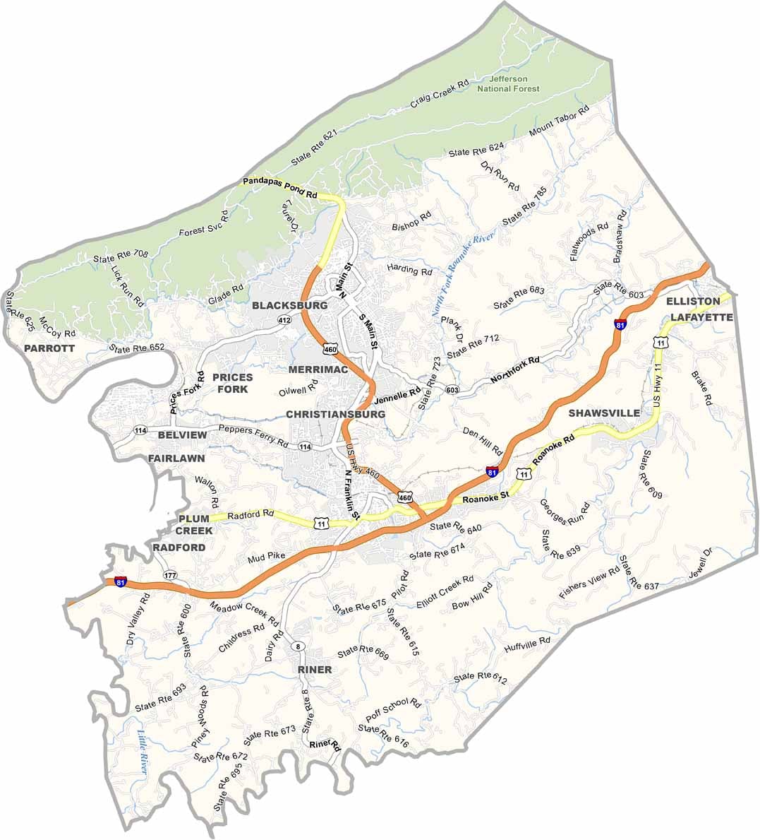

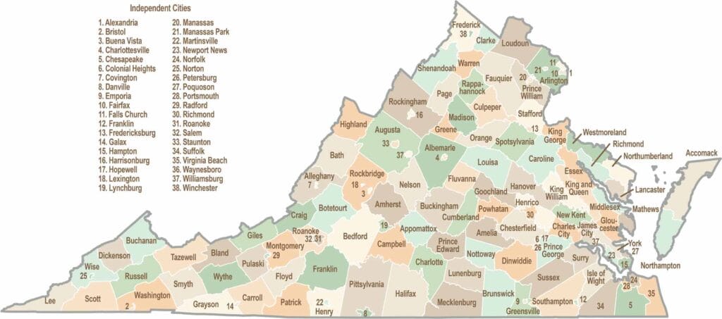
Virginia’s 95 counties bring together old-school roots, winding mountain roads, and Civil War history. One county is known for peanuts, another for presidents. Some feel distinctly rural, while others sit closer to the action around the nation’s capital.