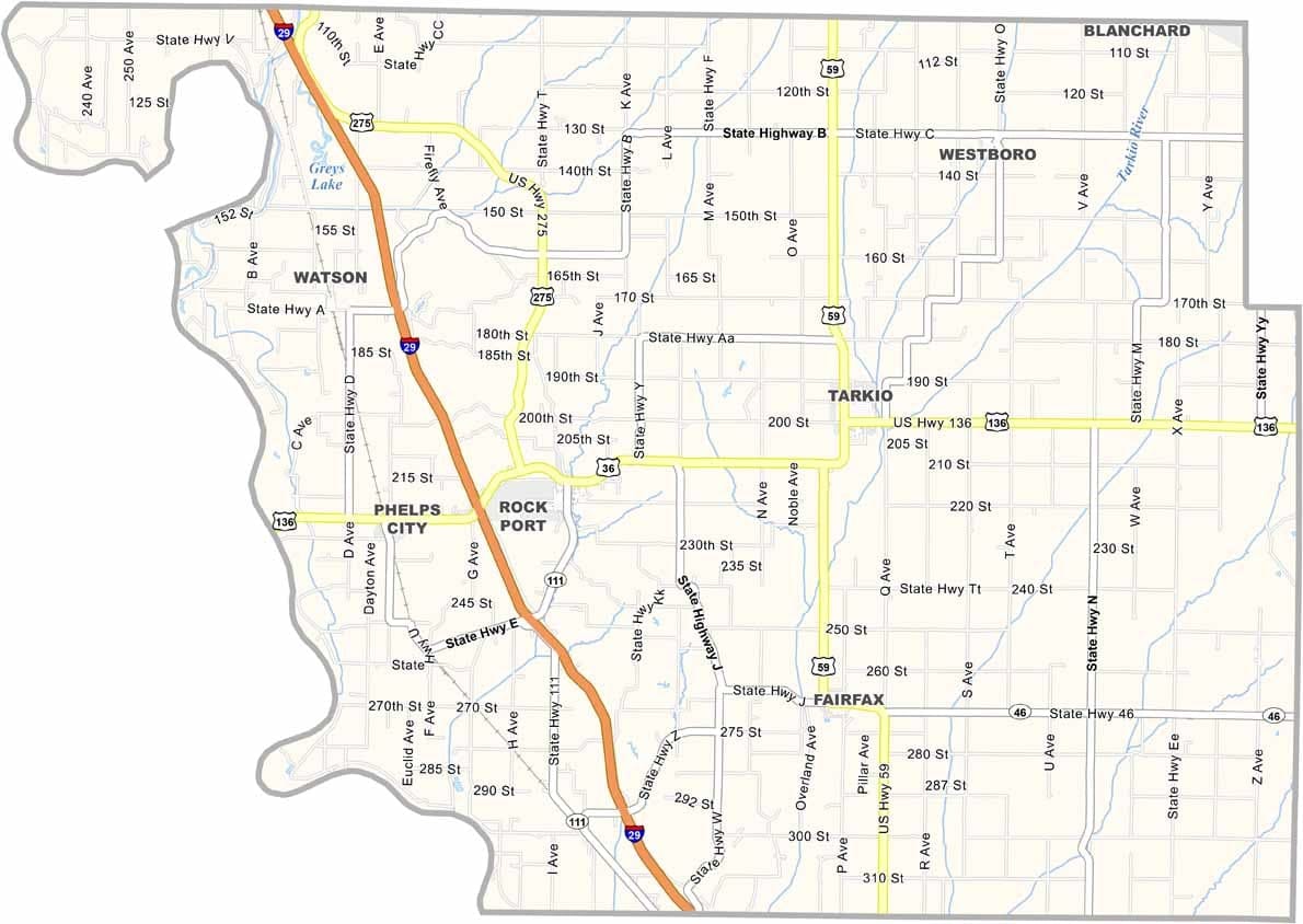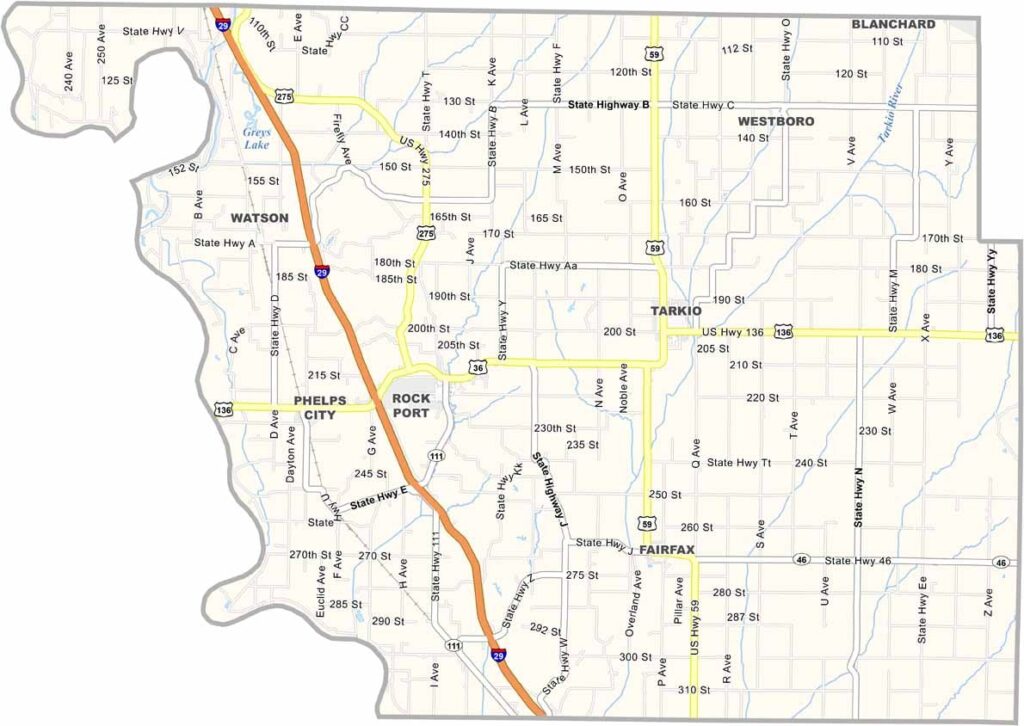
Atchison County, Missouri

Atchison County occupies Missouri’s far northwestern corner, where the Missouri River forms the border with Nebraska. The landscape is shaped by fertile farmland, open plains, and scenic creek valleys that give the area a distinctly rural character.

The county seat is Rock Port, while Tarkio is known for its connection to the former Tarkio College. Agriculture remains the backbone of the local economy, with corn and soybeans among the leading crops. The county was named after David Rice Atchison, a prominent nineteenth-century political figure.

Community traditions remain strong, especially during the annual Atchison County Fair, which features livestock exhibitions, carnival attractions, and local food. Despite its remote location, the county also has ties to the historic Lewis and Clark Expedition.
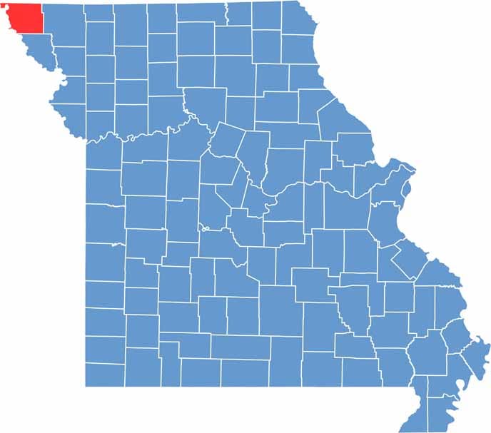

Atchison County location map showing the county's position within Missouri.
Category Details
County Name Atchison County
County Seat Rock Port
Cities, Towns, and Communities Rock Port, Tarkio, Fairfax, Westboro, Watson, Phelps City
Interstates and Highways I-29, US 136, MO 46, MO 111
Population Approximately 5,000
FIPS Code 29-005
Total Area (Land and Water) 550 square miles (Land: 547 sq mi, Water: 3 sq mi)
Time Zone Central Time Zone (CT)
State Missouri
Coordinates 40.4398° N, 95.4258° W
Etymology Named after David Rice Atchison, a U.S. Senator from Missouri
Major Landmarks Nishnabotna Conservation Area, Tarkio College, Atchison County Historical Society Museum
Adjacent Counties (and Direction) Fremont County, Iowa (North), Page County, Iowa (Northeast), Nodaway County (East), Holt County (South), Richardson County, Nebraska (Southwest), Nemaha County, Nebraska (West), Otoe County, Nebraska (Northwest)
Scroll to Top