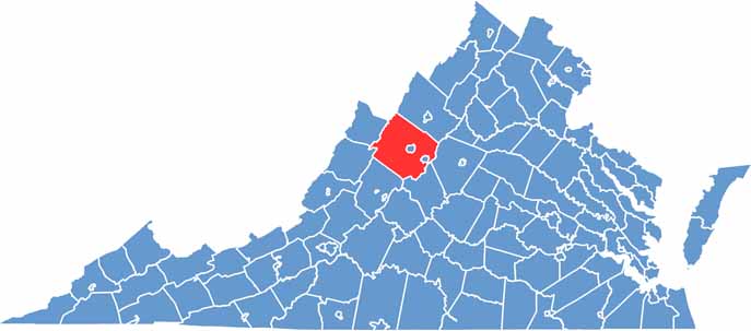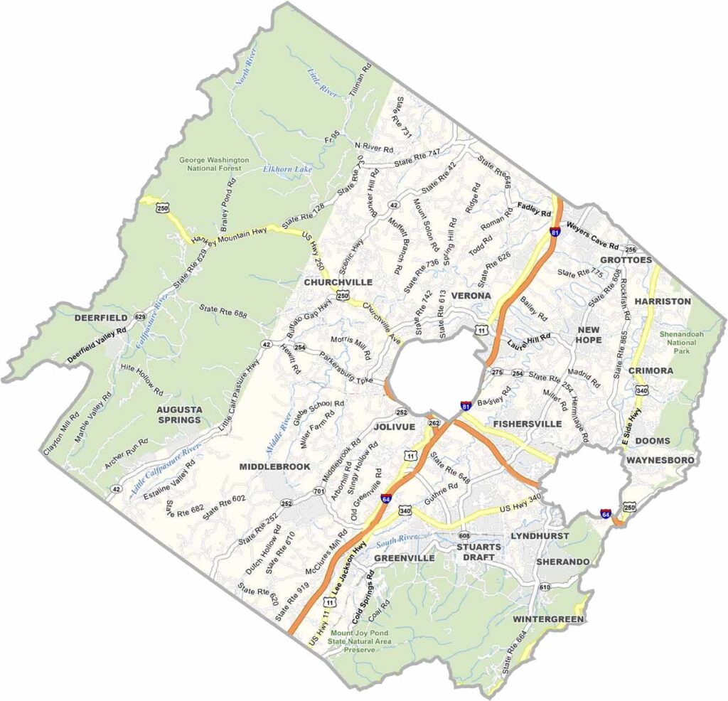
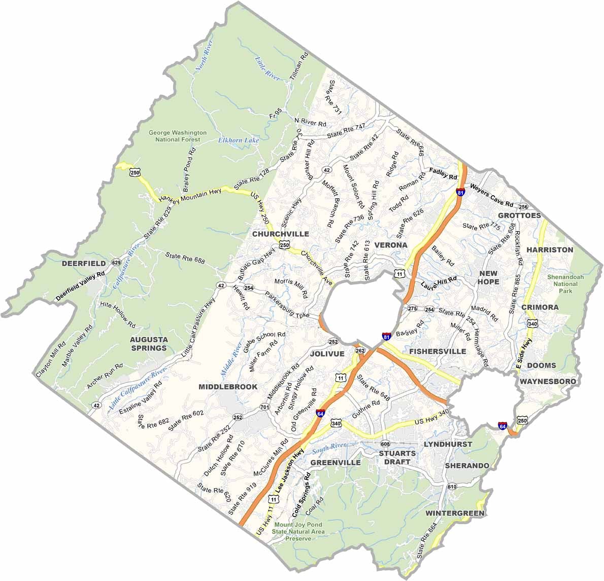
Augusta County stretches across Virginia’s beautiful Shenandoah Valley, where farmland and forests sit beneath the dramatic Blue Ridge Mountains to the east and the Appalachian Mountains to the west. As one of the state’s largest counties, it offers plenty of open space and some of the most scenic countryside in the region.
The county is home to expansive forested areas, including portions of George Washington National Forest and Shenandoah National Park along its eastern side. Its location in the heart of Virginia’s valley country makes it a favorite for outdoor enthusiasts, with opportunities for hiking, camping, and exploring the surrounding landscapes.
Staunton, an independent city surrounded by Augusta County, is known for its historic architecture, vibrant arts scene, and lively downtown. Throughout the region, modern breweries and wineries blend naturally with centuries-old farms and rural communities.