
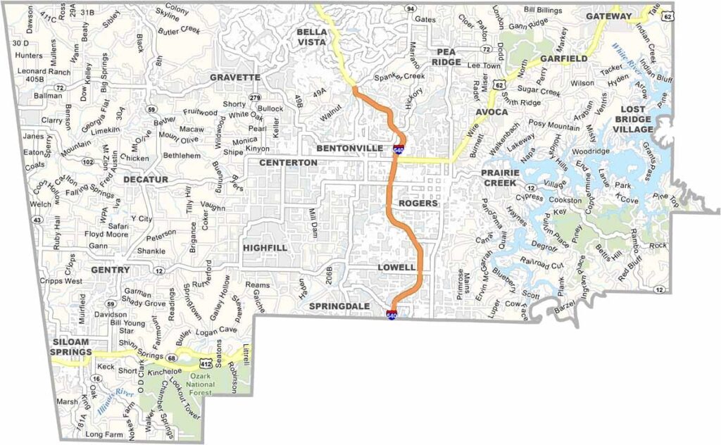
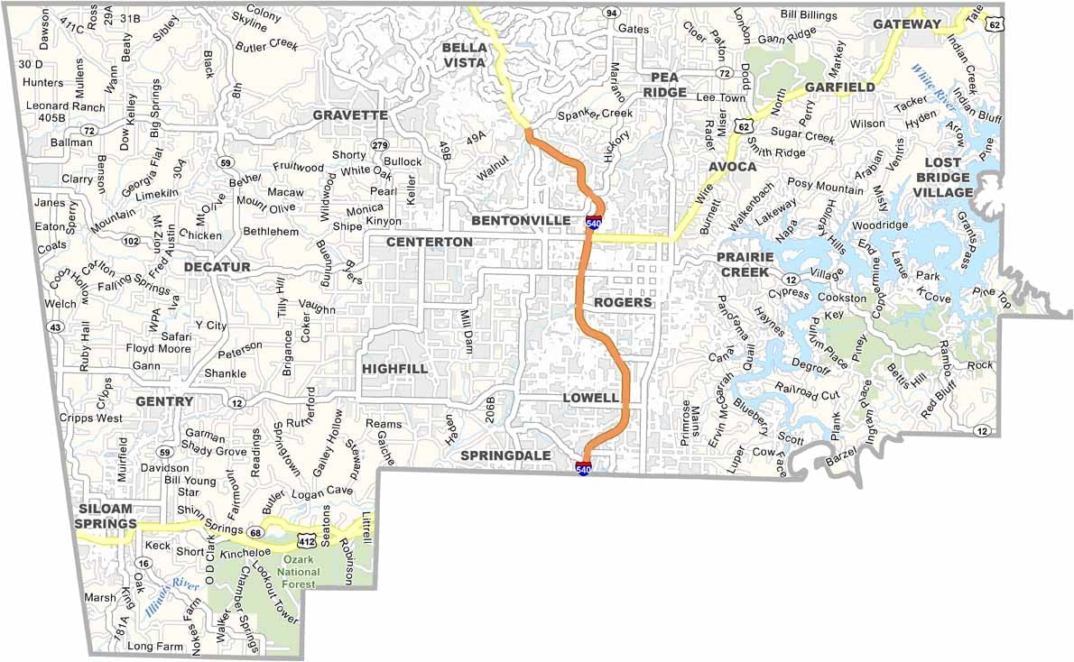
Benton County is located in the northwest corner of Arkansas and is home to several major names in business. Bentonville, the county seat, is home to Walmart’s headquarters.
The county has experienced rapid growth and has a population nearing 310,000, making it Arkansas’s second-most populous county after Pulaski County.
Bentonville is known not only for business but also for its thriving arts scene, highlighted by the Crystal Bridges Museum of American Art. Interstate 49 runs through the county, while Hobbs State Park offers opportunities for outdoor recreation, with trails and scenic lakeside views.
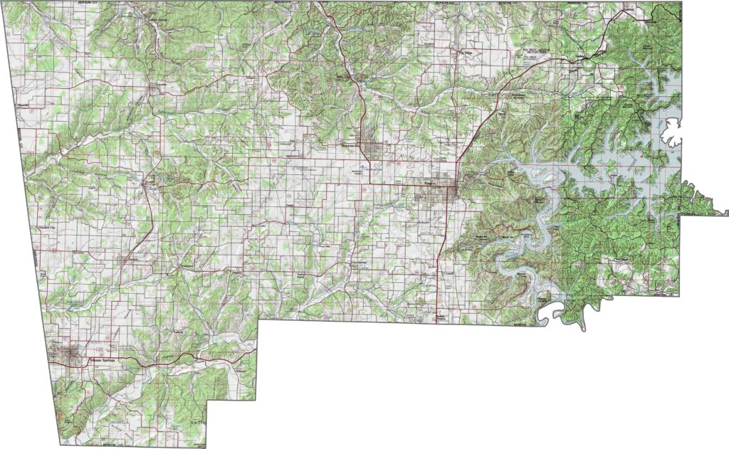
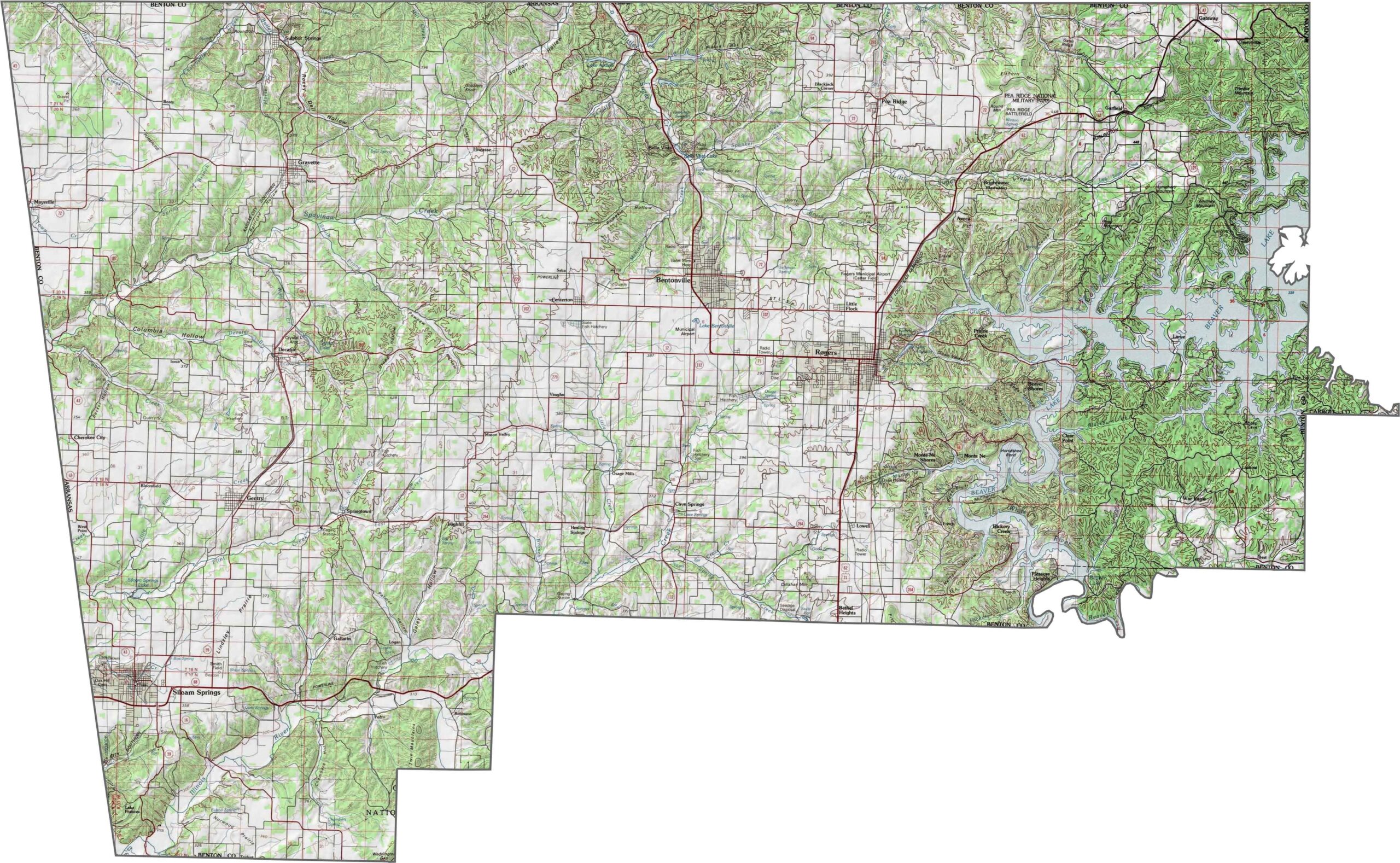
This topographic map highlights Benton County’s Ozark hills and plateaus, with varying elevations across the landscape. The contour lines reveal detailed terrain features around the county’s cities, lakes, and surrounding areas
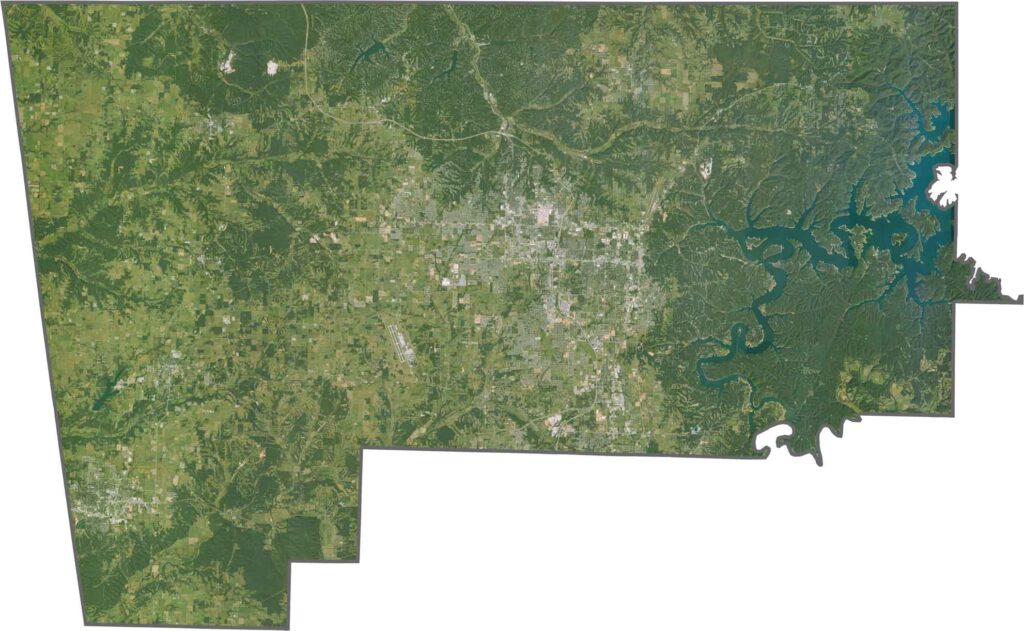
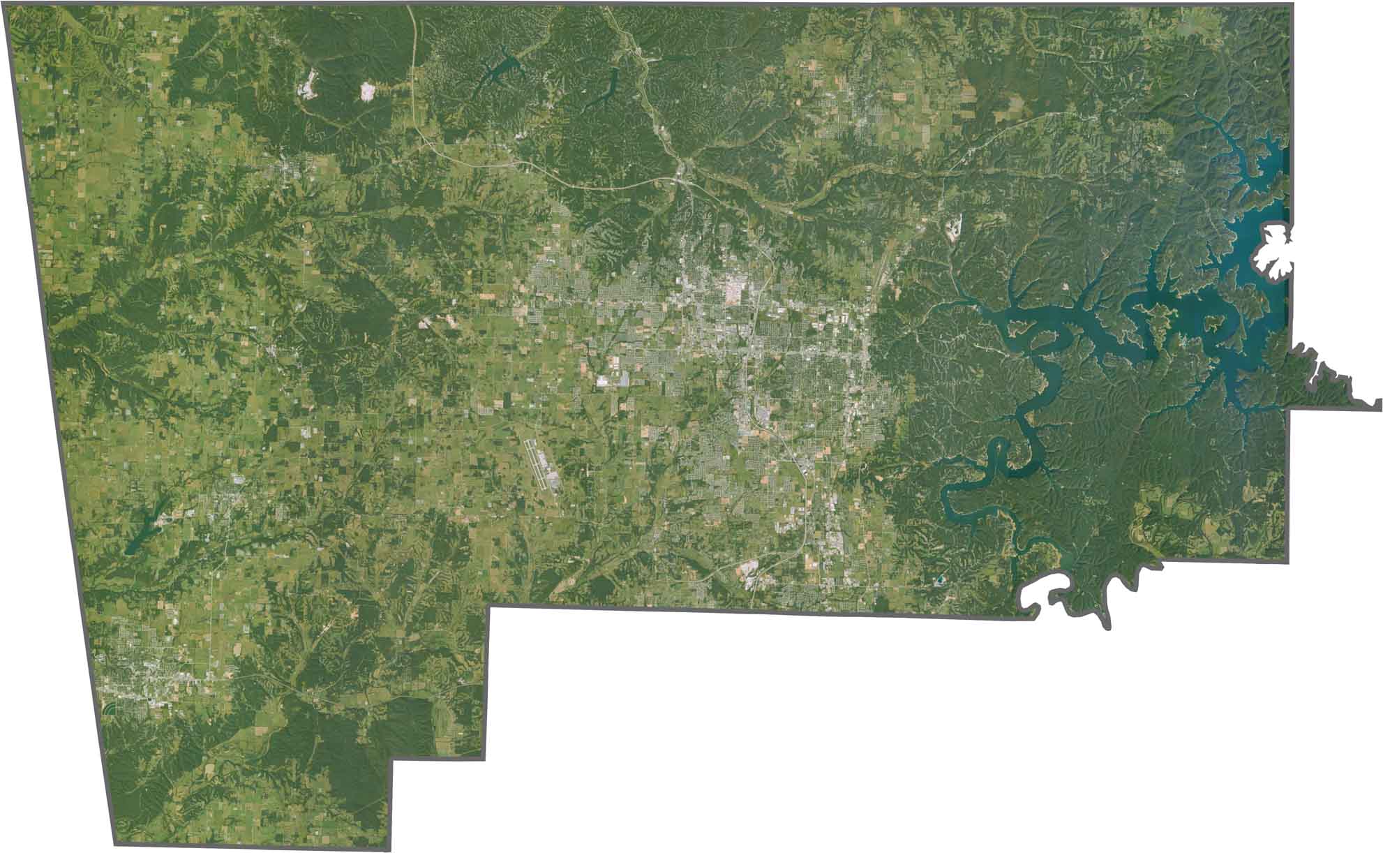
This satellite map shows Benton County’s growing cities, including Rogers and Bentonville, surrounded by the rolling Ozark hills. Beaver Lake is also visible in the eastern part of the county.
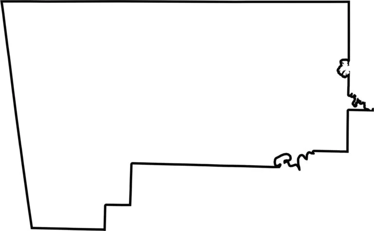
This blank map outlines Benton County’s rectangular shape in northwest Arkansas. Its clear boundaries provide a simple base for marking important locations or studying the county’s overall layout.



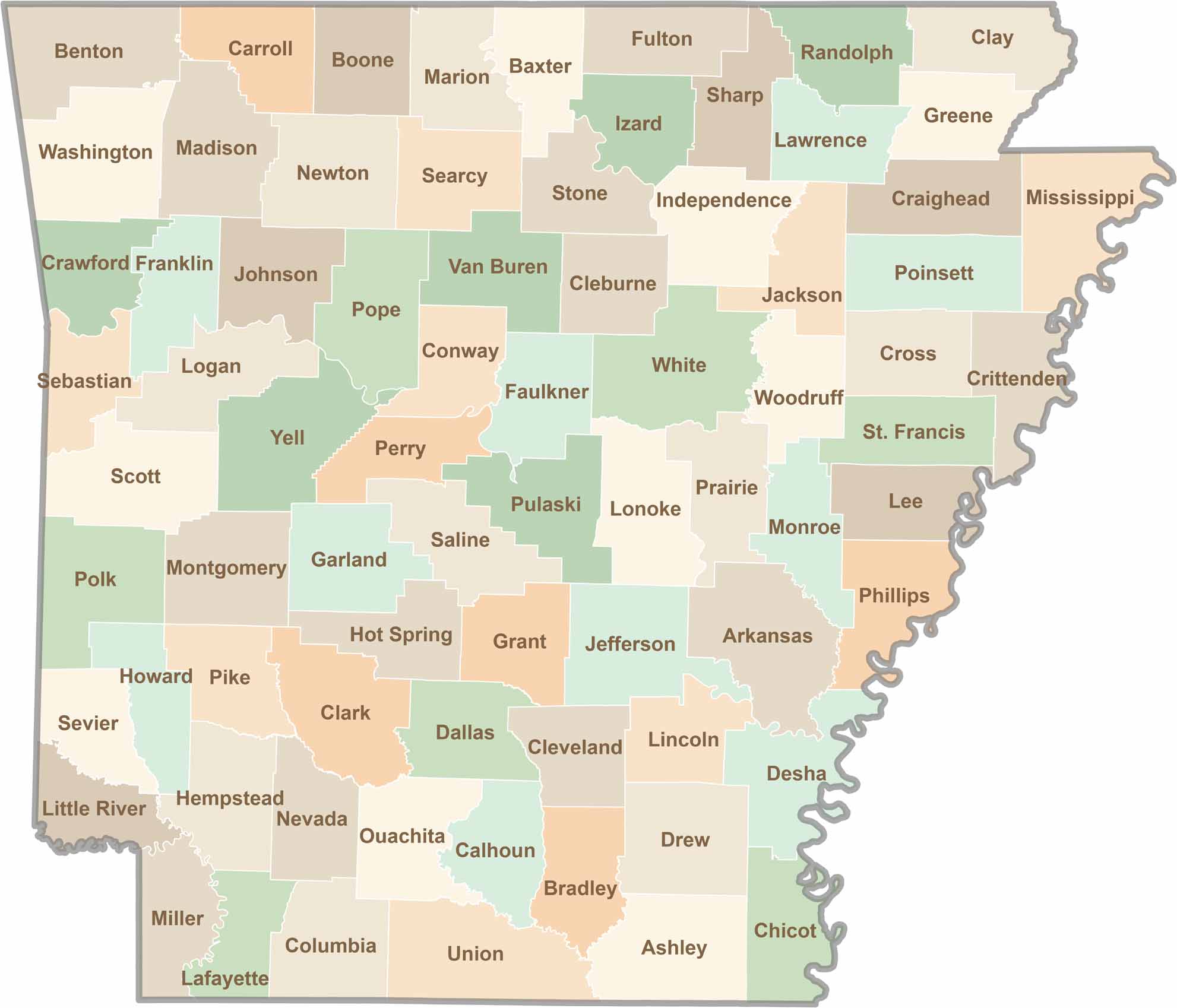
Discover all 75 Arkansas counties with our detailed and easy-to-read map. Explore the Natural State’s cities, scenic byways, and notable attractions with ease. This Arkansas county map is perfect for travelers, students, researchers, and anyone interested in learning more about the state.