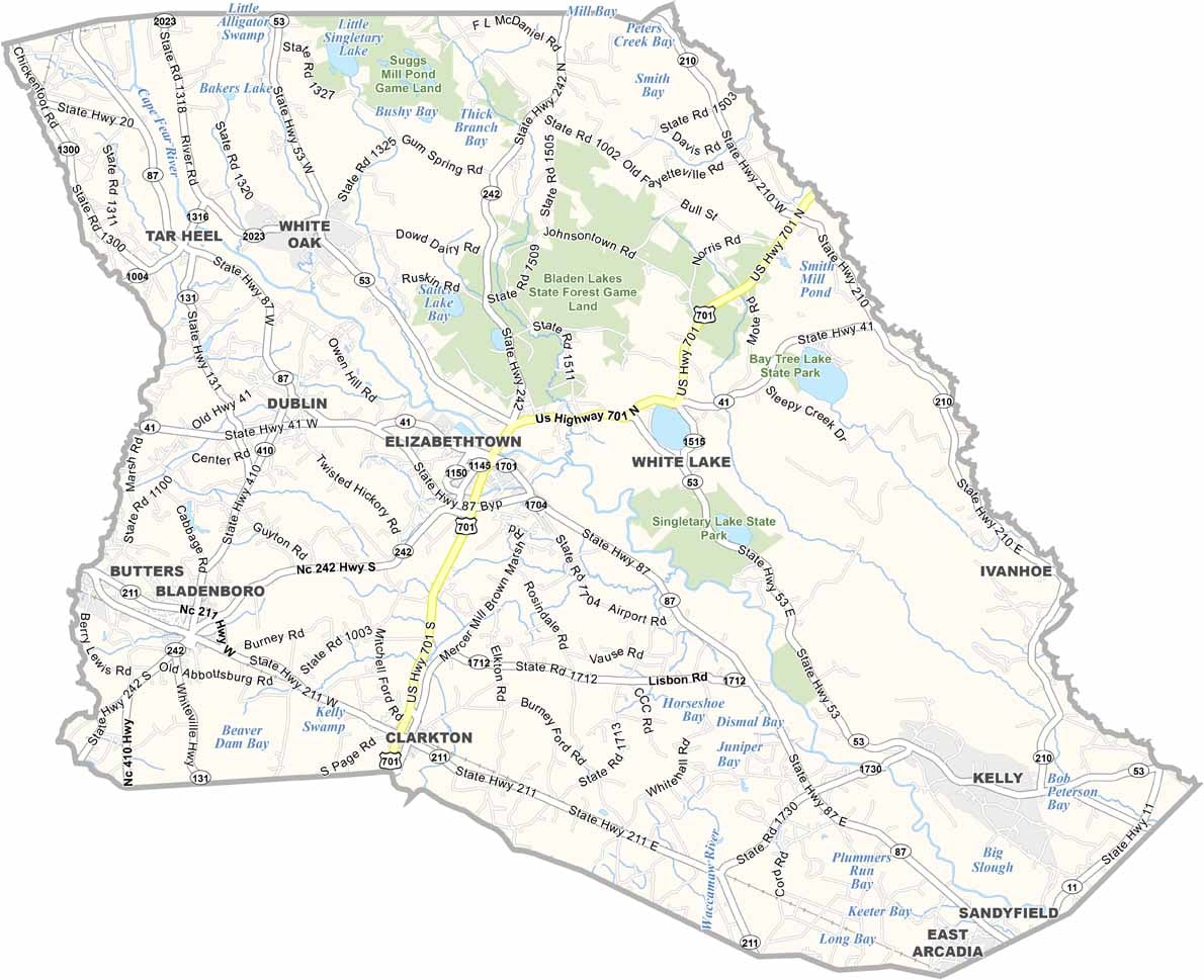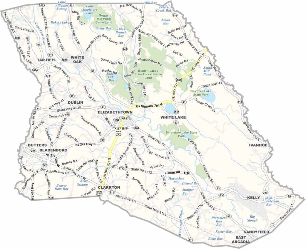
Bladen County Map, North Carolina

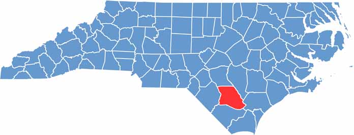
Bladen County, North Carolina

Rivers shape the story of Bladen County, which lies in the coastal plain of southeastern North Carolina. The Cape Fear River flows along its western border, and Jones Lake and Singletary Lake are rare examples of Carolina bay lakes.

Elizabethtown, the county seat, has a small-town feel and a historic downtown. The county is known for its blueberry farms, and visitors can pick their own at several local orchards.

Bladen has deep roots in the turpentine industry. White Lake, a natural spring-fed lake, attracts swimmers and boaters. Bladen County is a place where nature and history quietly thrive side by side.

CategoryDetails
County NameBladen County
County SeatElizabethtown
EtymologyNamed after Martin Bladen, a member of the Board of Trade
Cities, Towns, and CommunitiesElizabethtown, Bladenboro, White Lake, Tar Heel
Interstates and HighwaysU.S. Route 701, U.S. Route 76, North Carolina State Route 87
FIPS Code37-017
Total Area (Land and Water)887 square miles (875 sq mi land, 12 sq mi water)
Adjacent Counties (and Direction)Cumberland County (North), Sampson County (Northeast), Pender County (East), Columbus County (South), Robeson County (West)
Time ZoneEastern Time Zone (ET)
StateNorth Carolina
Coordinates34.6500° N, 78.6830° W
Major LandmarksWhite Lake, Cape Fear River, Jones Lake State Park
PopulationApproximately 30,000
Scroll to Top