
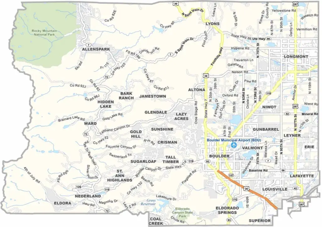
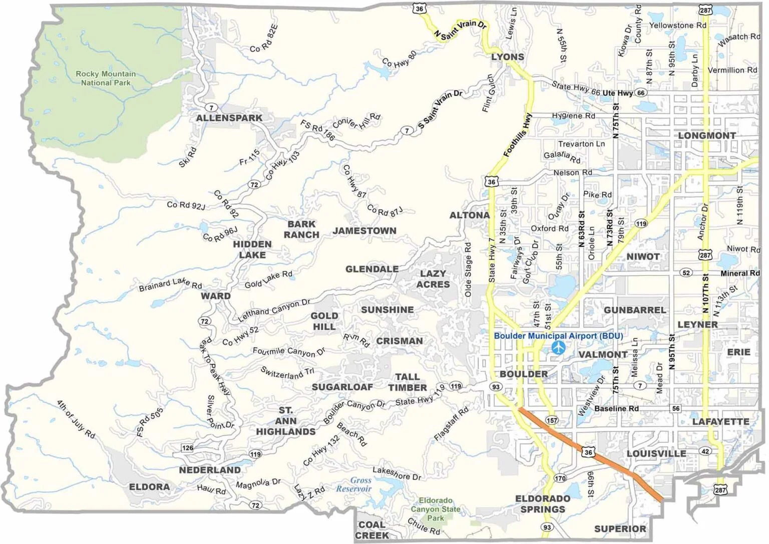
Boulder County sits where the plains meet the Rocky Mountains, just northwest of Denver. The county includes mountains, forests, farmland, and developed urban areas. Boulder is the largest city and is well known for its outdoor recreation, vibrant culture, and connection to the University of Colorado.
At the center of the area’s appeal is Table Rock Lake, one of Missouri’s premier recreational destinations. The lake is a popular spot for fishing, boating, swimming, and other water activities, drawing outdoor enthusiasts throughout the year.
Stone County is also rich in history and small-town charm. Communities such as Kimberling City and Galena showcase the region’s heritage and welcoming atmosphere, while Branson West serves as a lively gateway to local attractions, offering entertainment, dining, and convenient access to the surrounding Ozark scenery.
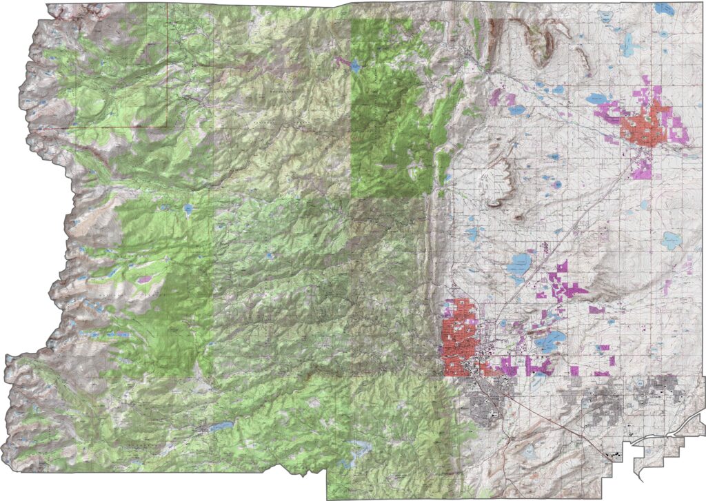
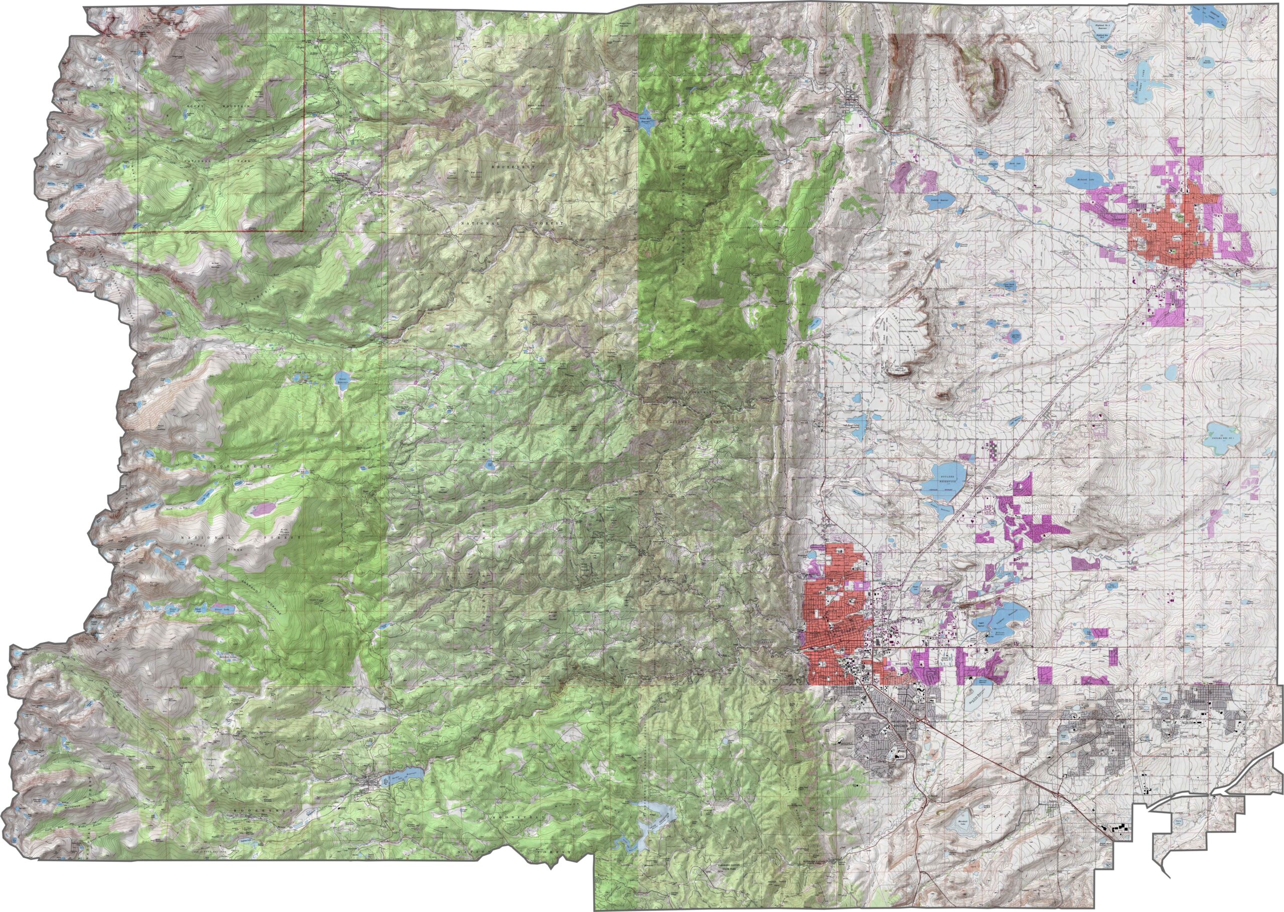
Our Boulder County topographic map highlights the Flatirons as distinctive ridges along the foothills. Use the zoom tool to explore the many canyons, valleys, and elevation changes throughout the county.
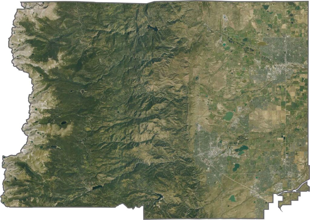
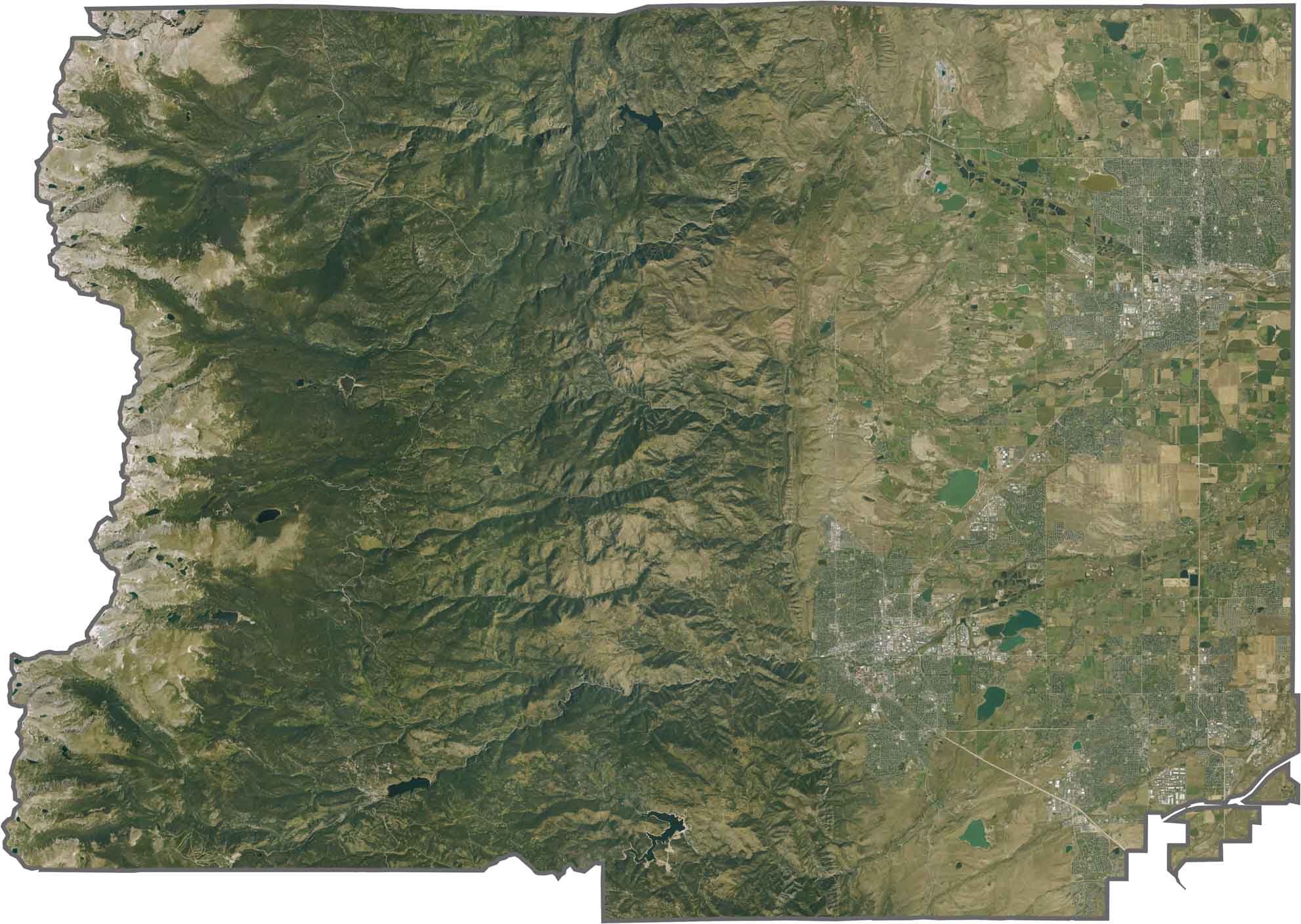
This satellite map shows the sharp transition between developed areas and the Flatirons and surrounding foothills. Farther west, the high country features rugged terrain, dense forests, and exposed rocky peaks.
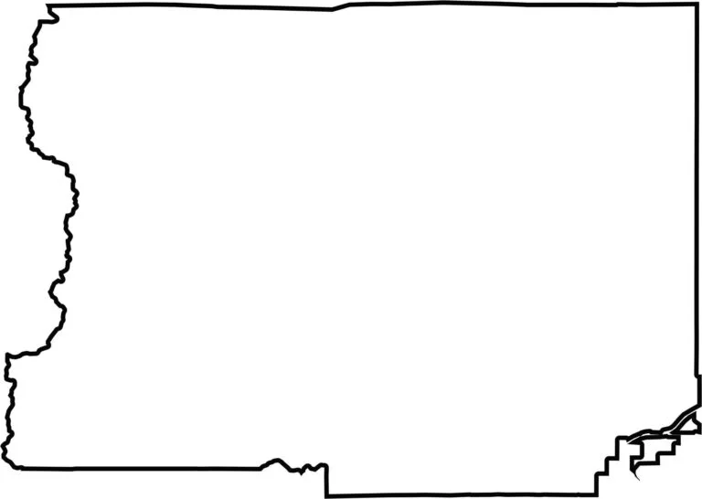
Our blank map of Boulder County shows the Continental Divide forming much of its jagged western boundary. The county has a relatively compact shape, with an irregular western edge that follows the contours of the Rocky Mountains.







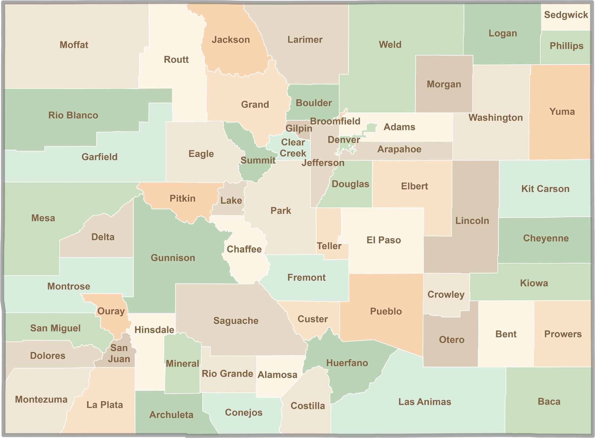
Think you know all 64 counties in Colorado? Our Colorado County Map brings them all together in one place, from the towering Rocky Mountains to the expansive eastern plains. Explore the Centennial State county by county and discover the diverse regions that make Colorado unique.