
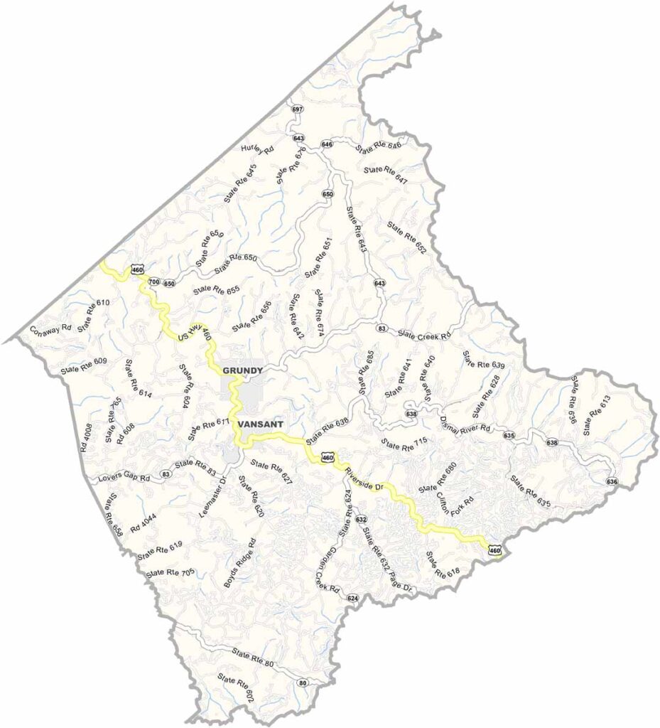
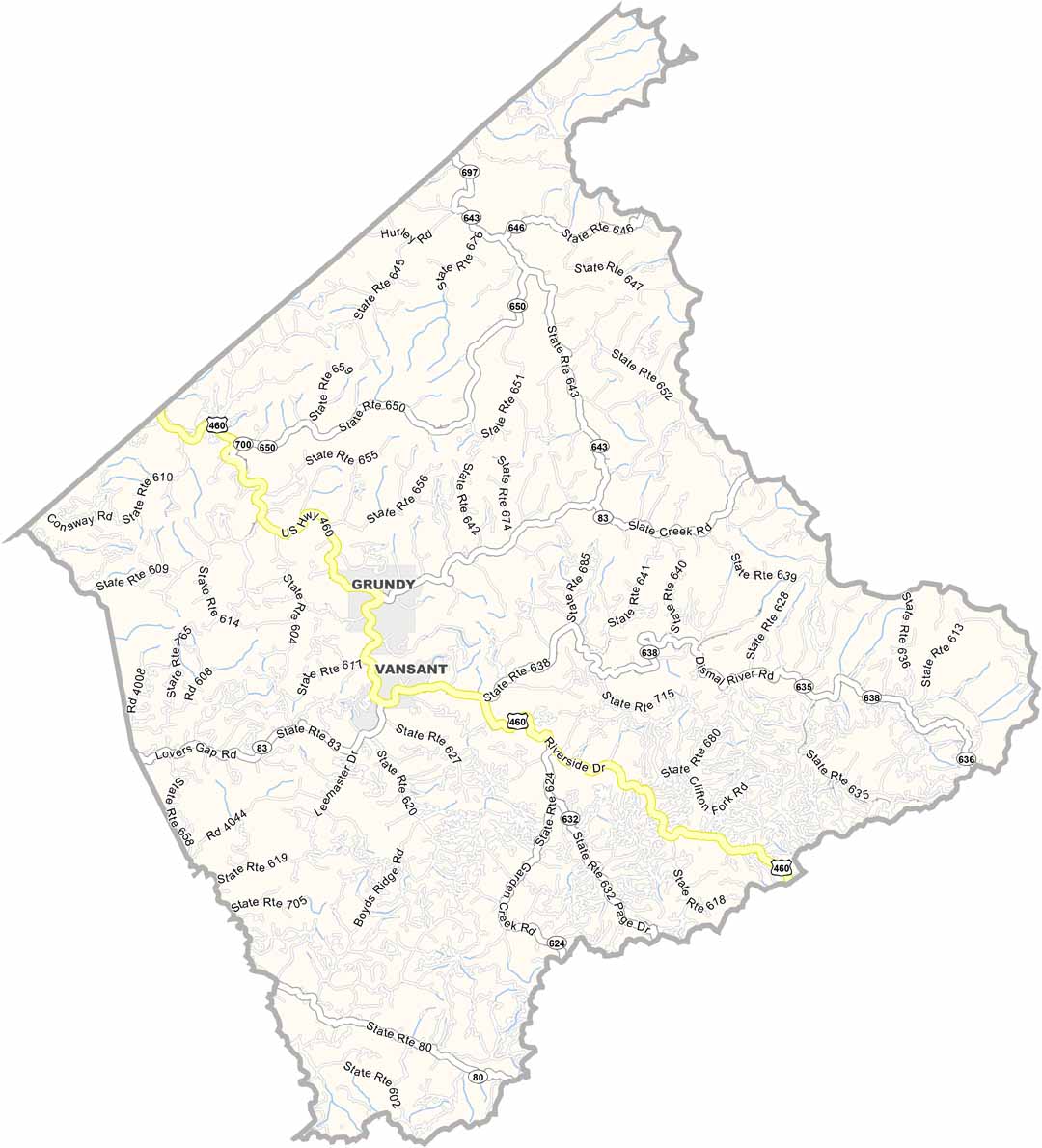
Buchanan County sits in the far western corner of Virginia. This is coal country. Rugged, remote, and tough. The people here have plenty of grit, just like the mountains surrounding them.
The Levisa Fork River winds through the county, cutting deep valleys into the landscape. It’s pure Appalachian country. Elk are doing surprisingly well here, too. Yep, elk in Virginia. Who would’ve guessed?
Grundy, the county seat, has literally had to start over. The entire town was moved to higher ground after repeated flooding. Talk about resilience. These days, ATV trails help draw visitors looking for adventure. The scenery is rugged, wild, and beautiful in a way that feels completely untouched.
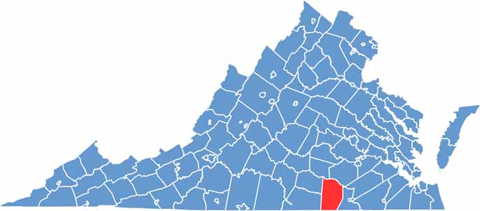
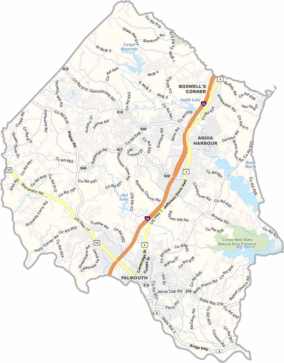
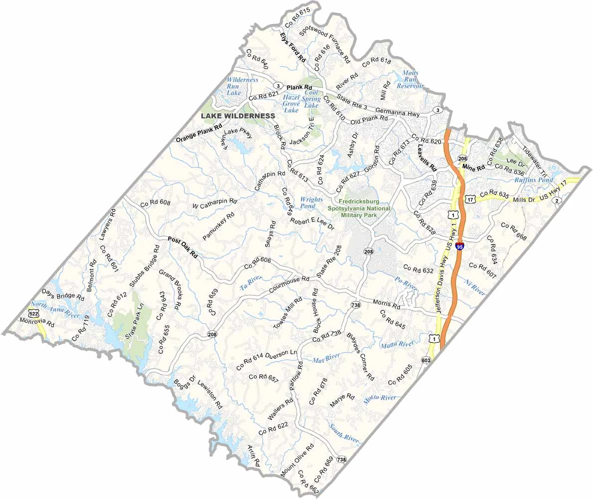
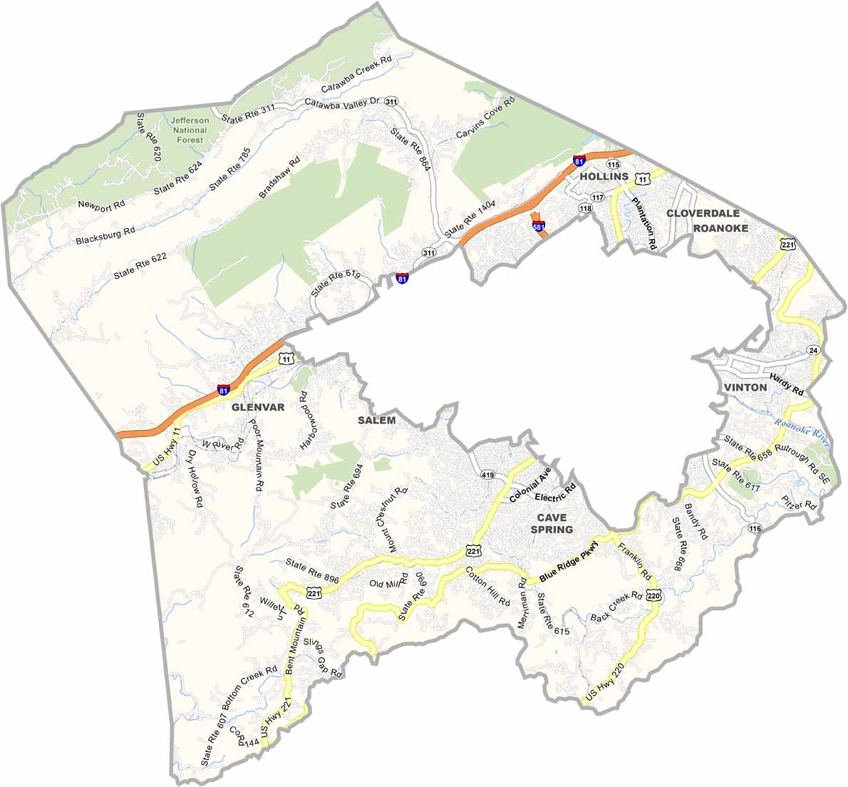
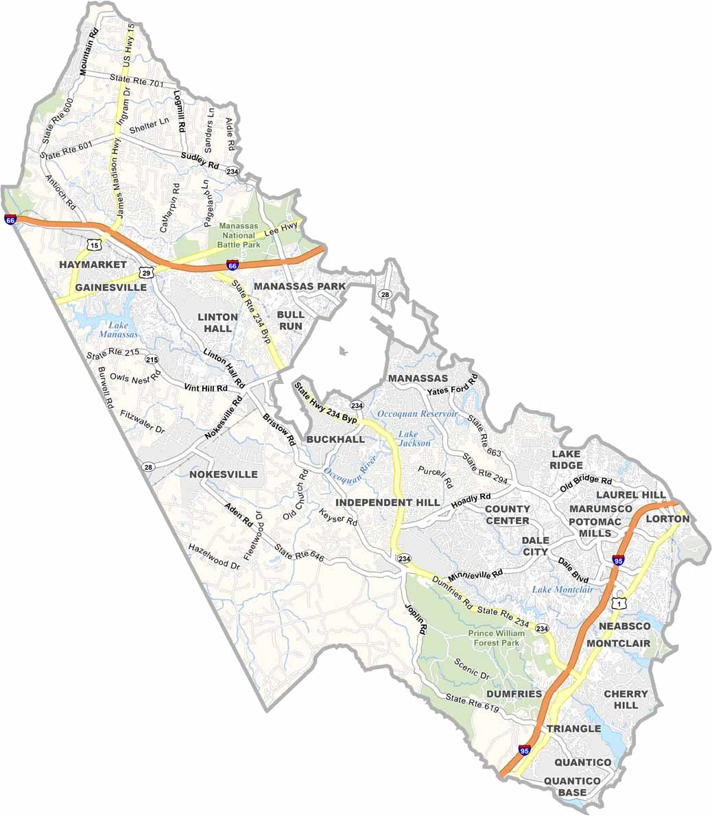
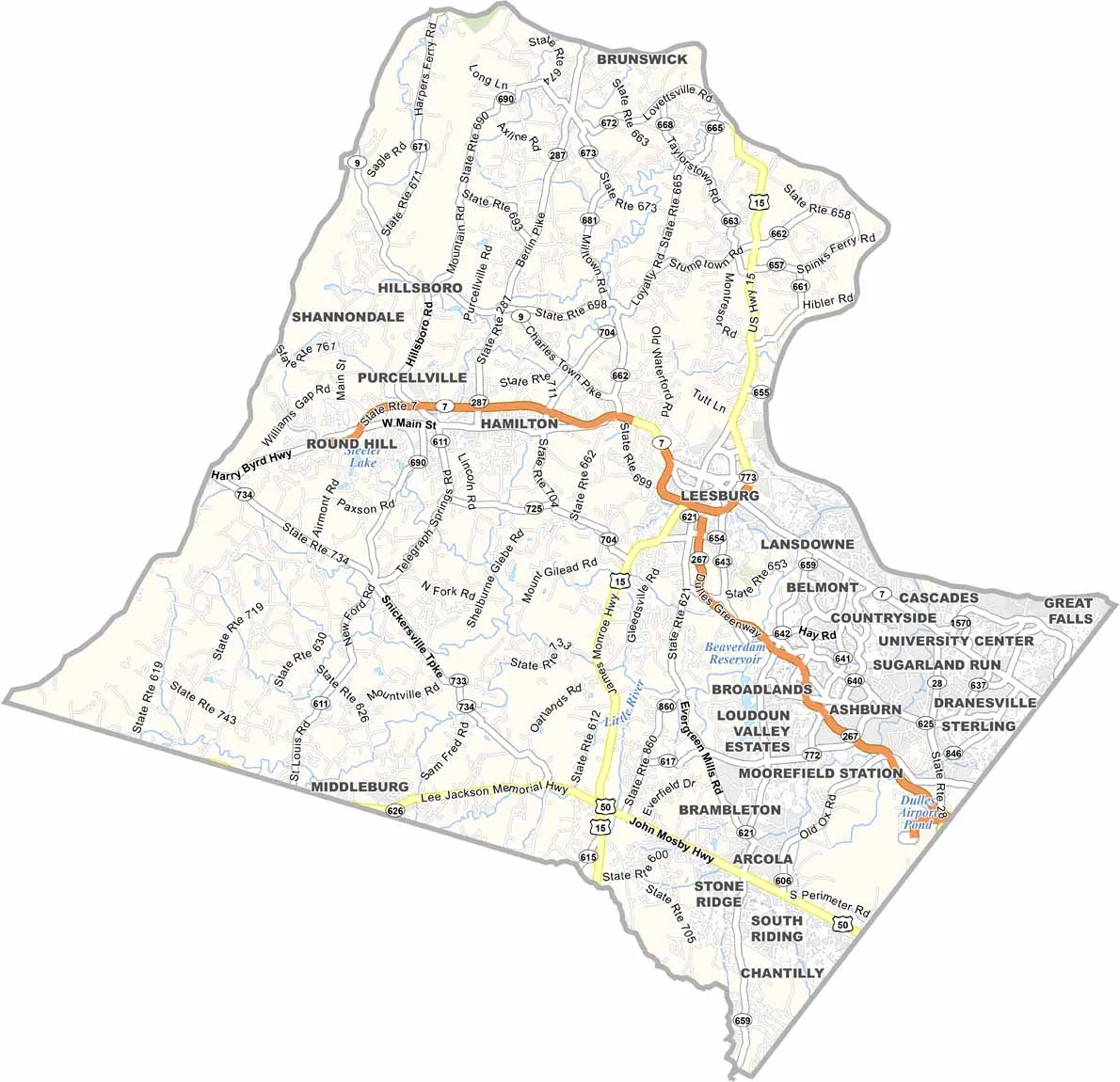
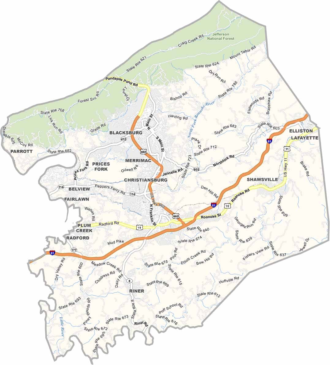
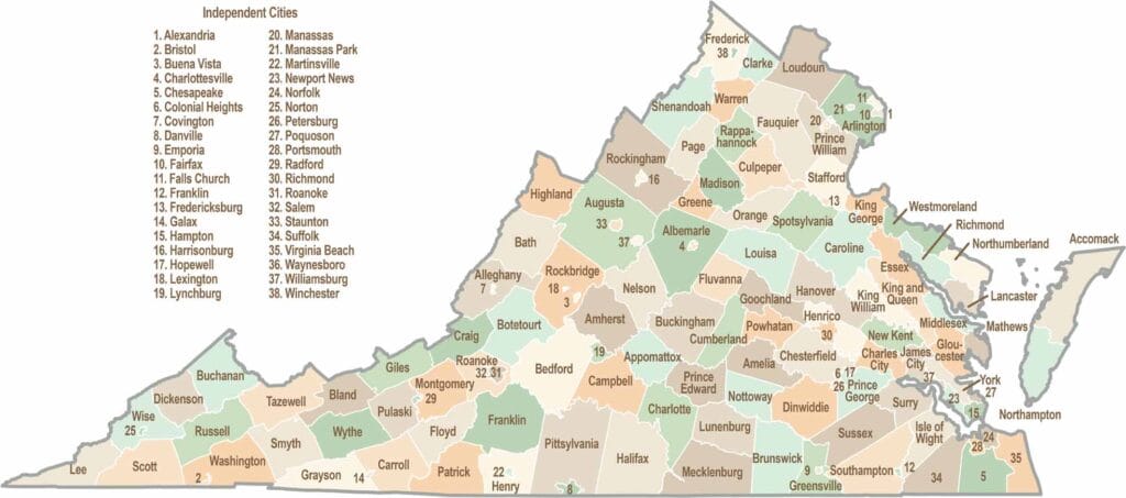
Virginia’s 95 counties bring together old-school roots, winding mountain roads, and Civil War history. One county is known for peanuts, another for presidents. Some feel distinctly rural, while others sit closer to the action around the nation’s capital.